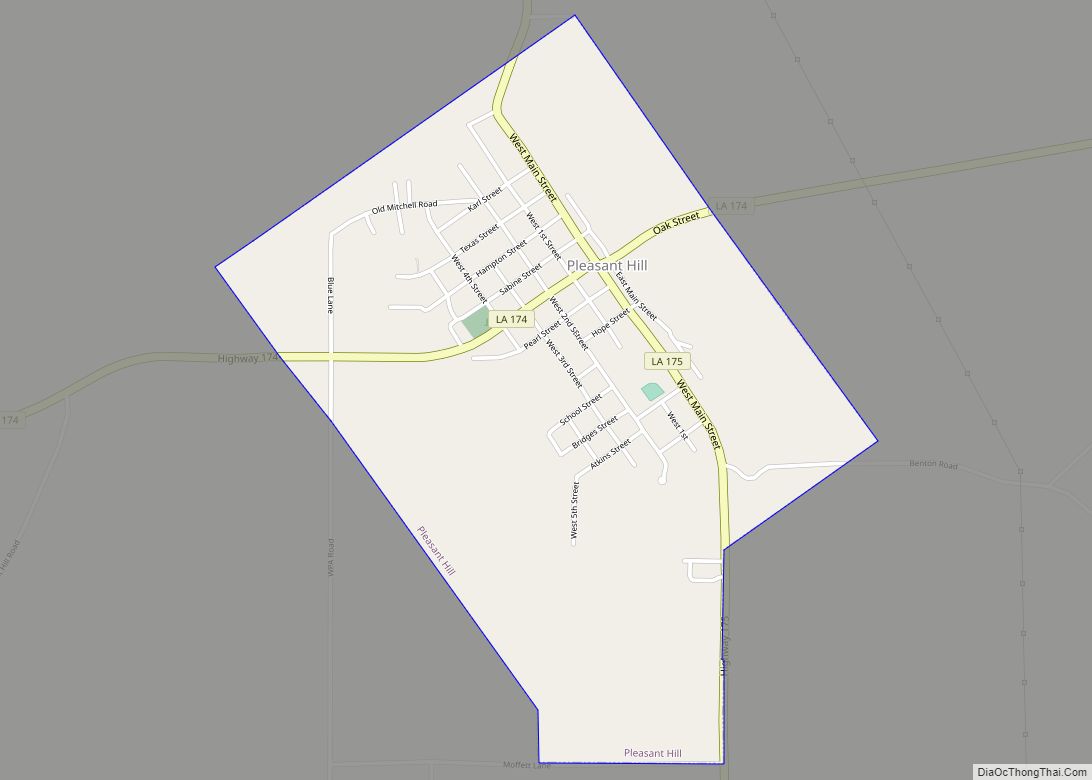
Pleasant Hill is a village in Sabine Parish in western Louisiana, United States. As of the 2010 census, the village population was 1,232. It is best known as the site of The Battle of Pleasant Hill, a Civil War engagement fought in April 1864. Pleasant Hill village overview: Name: Pleasant Hill village LSAD Code: 47 ... Read more
Louisiana Cities and Places
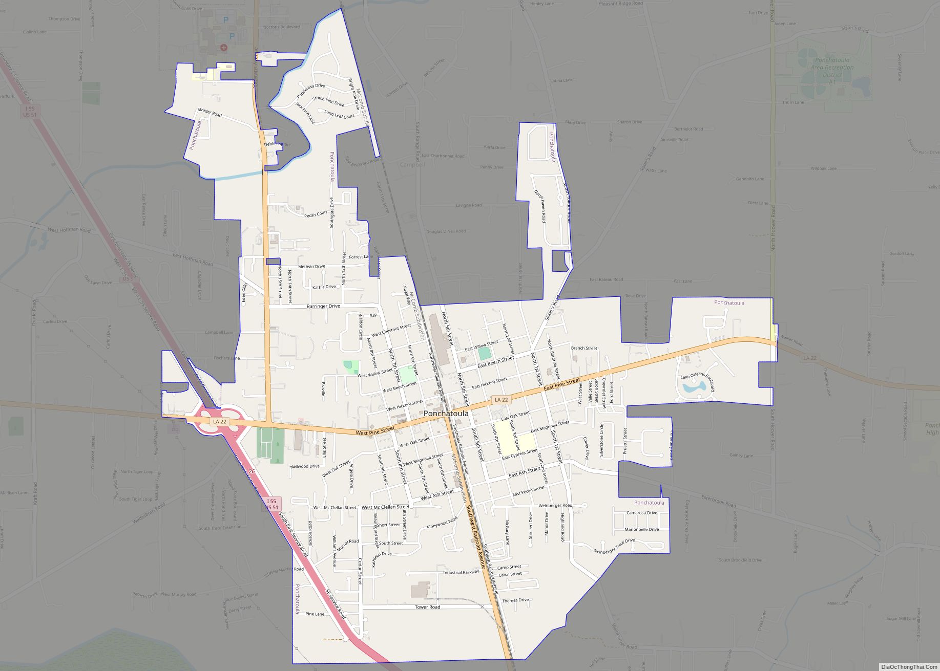
Ponchatoula is the second-largest city in Tangipahoa Parish, Louisiana. The population was 6,559 at the 2010 census and 7,545 at the time of the 2020 population estimates program. Ponchatoula city overview: Name: Ponchatoula city LSAD Code: 25 LSAD Description: city (suffix) State: Louisiana County: Tangipahoa Parish Elevation: 26 ft (8 m) Total Area: 4.74 sq mi (12.27 km²) Land Area: ... Read more
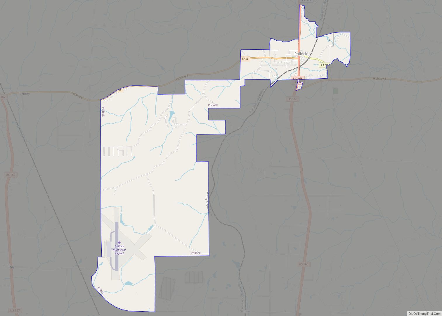
Pollock is a small town in Grant Parish, Louisiana, United States. It is part of the Alexandria, Louisiana Metropolitan Statistical Area. The population was 469 as of the 2010 census, up from 376 in 2000. Pollock and southern Grant Parish have been experiencing residential and business growth in recent years. The population of Pollock increased ... Read more
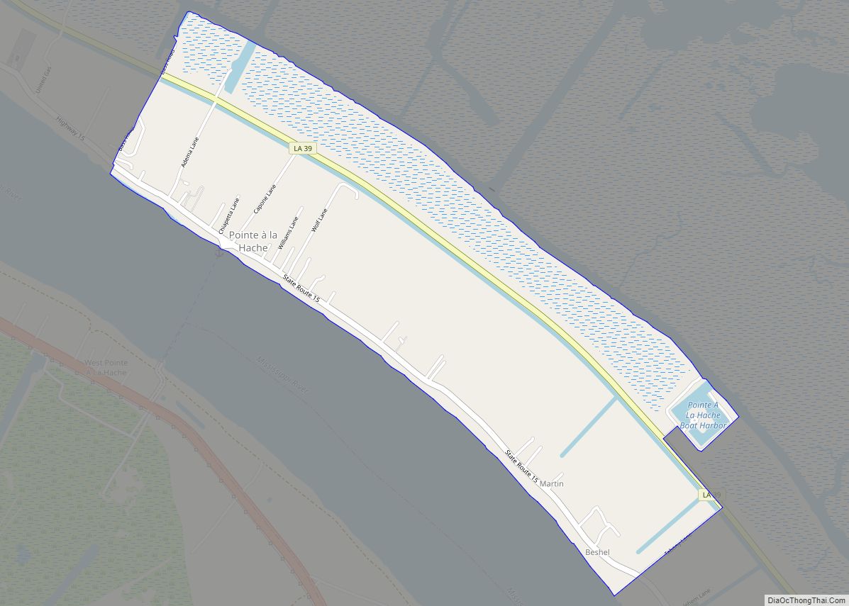
Pointe à la Hache (/ˌpɔɪnt lə ˈhæʃ/ POYNT lə HASH) is a census-designated place (CDP) and unincorporated community in Plaquemines Parish, Louisiana, United States. Located on the east bank of the Mississippi River, the village has been the seat for Plaquemines Parish since the formation of the parish. As of the 2020 census, its population ... Read more
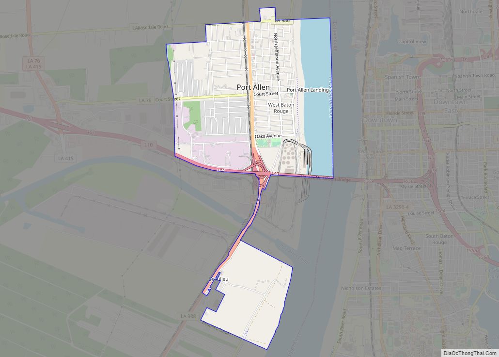
Port Allen is a city in, and the parish seat of, West Baton Rouge Parish, Louisiana, United States. Located on the west bank of the Mississippi River, it is bordered by Interstate 10 and US Highway 190. The population was 5,180 at the 2010 census, down from 5,278 in 2000. It is part of the ... Read more
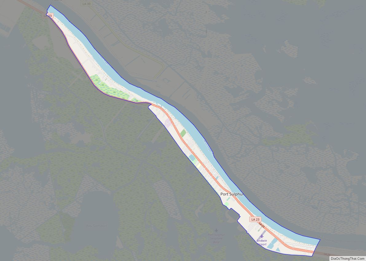
Port Sulphur is a census-designated place (CDP) on the West Bank of the Mississippi River in Plaquemines Parish, Louisiana, United States; at the 2020 census, it had a population of 1,677. Port Sulphur CDP overview: Name: Port Sulphur CDP LSAD Code: 57 LSAD Description: CDP (suffix) State: Louisiana County: Plaquemines Parish Elevation: 3 ft (0.9 m) Total ... Read more
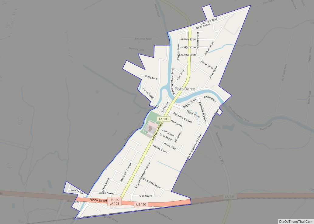
Port Barre (BAH-ree) is a town in St. Landry Parish, Louisiana, United States. The town began in 1760 as an Indian trading post at the place where Bayou Teche flows out of Bayou Courtableau. The population was 2,055 at the 2010 census, down from 2,287 in 2000. It is part of the Opelousas–Eunice Micropolitan Statistical ... Read more
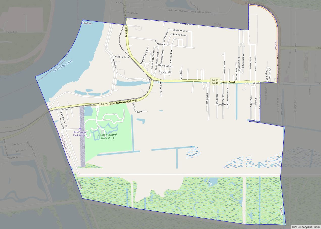
Poydras is a census-designated place (CDP) in St. Bernard Parish, Louisiana, United States. The population was 3,886 at the 2000 census and 2,536 in 2020. It is part of the New Orleans–Metairie–Kenner Metropolitan Statistical Area. Poydras is on the East Bank of the Mississippi River, just upriver from the Plaquemines Parish line. Poydras CDP overview: ... Read more
Powhatan is a village in Natchitoches Parish, Louisiana, United States. The population was 141 at the 2000 census. It is part of the Natchitoches Micropolitan Statistical Area. Powhatan village overview: Name: Powhatan village LSAD Code: 47 LSAD Description: village (suffix) State: Louisiana County: Natchitoches Parish Total Area: 0.54 sq mi (1.39 km²) Land Area: 0.54 sq mi (1.39 km²) Water Area: ... Read more
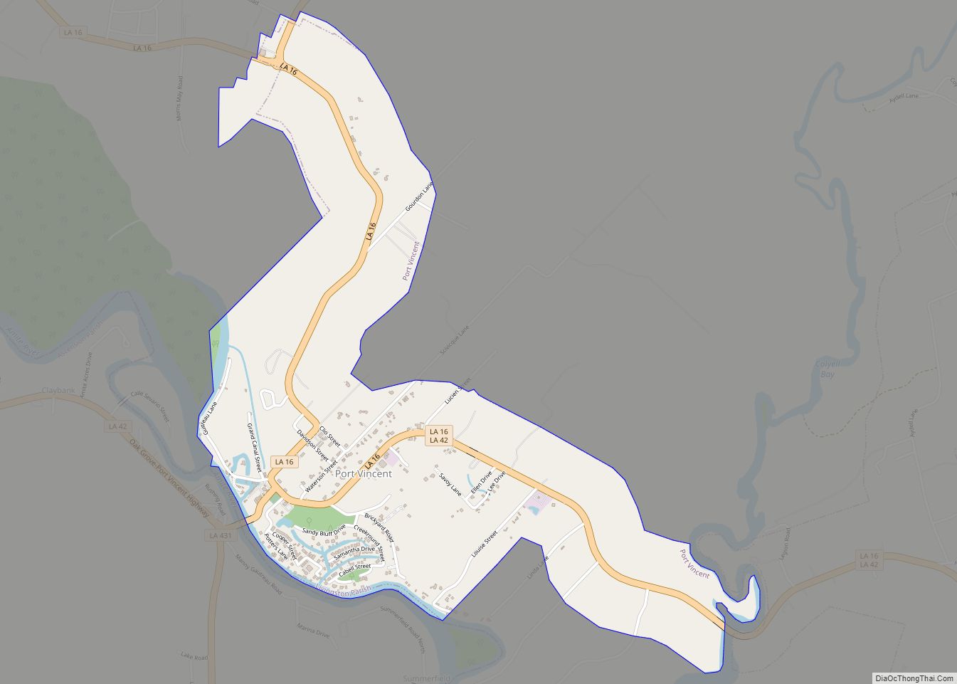
Port Vincent is a village in Livingston Parish, Louisiana, United States. The population was 741 at the 2010 census. It is part of the Baton Rouge Metropolitan Statistical Area. Port Vincent village overview: Name: Port Vincent village LSAD Code: 47 LSAD Description: village (suffix) State: Louisiana County: Livingston Parish Incorporated: May 5, 1952 Elevation: 7 ft ... Read more
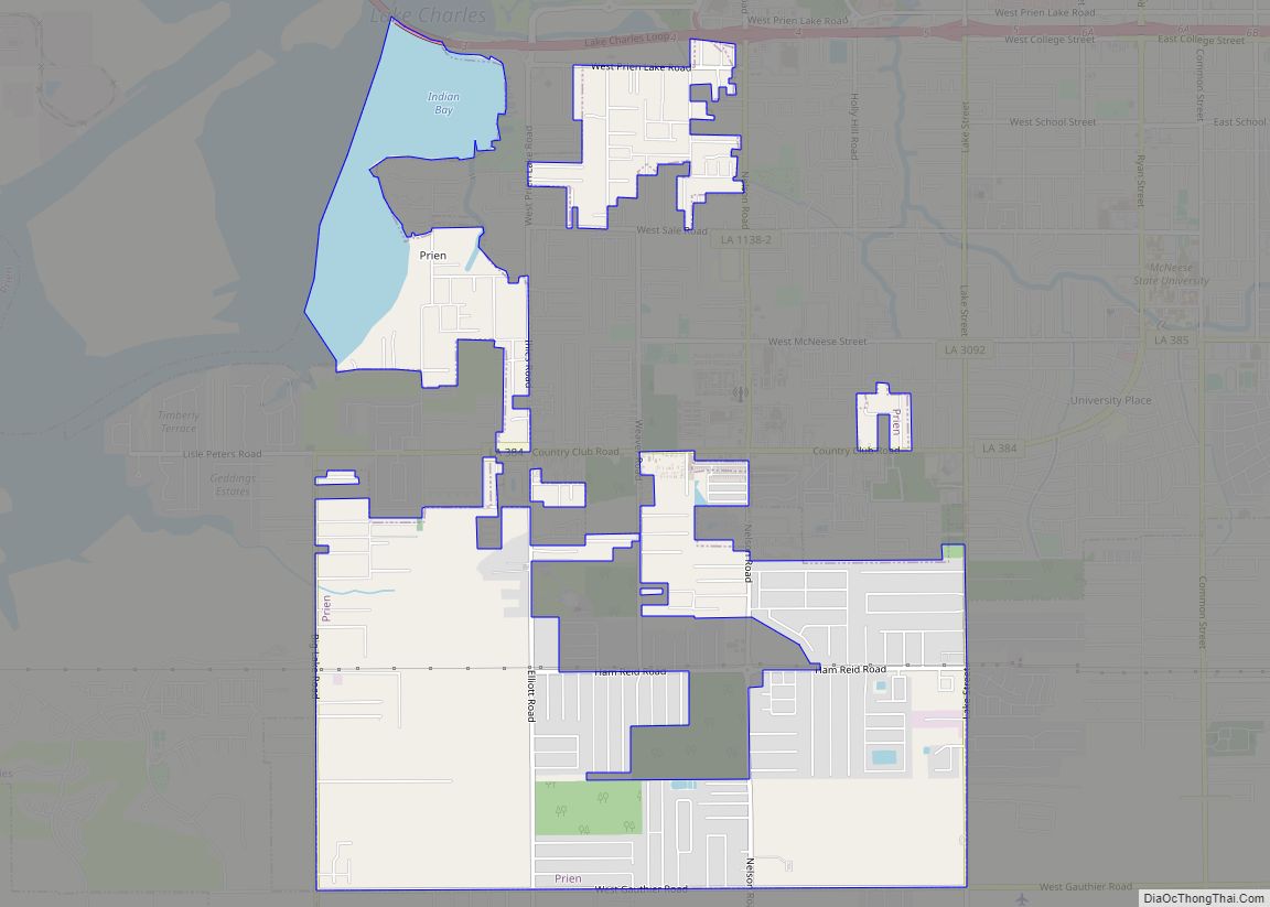
Prien is an unincorporated community and census-designated place (CDP) in Calcasieu Parish, Louisiana, United States. The population was 7,810 at the 2010 census. It is part of the Lake Charles metropolitan statistical area. Some of the area has been annexed into the city of Lake Charles. Prien CDP overview: Name: Prien CDP LSAD Code: 57 ... Read more
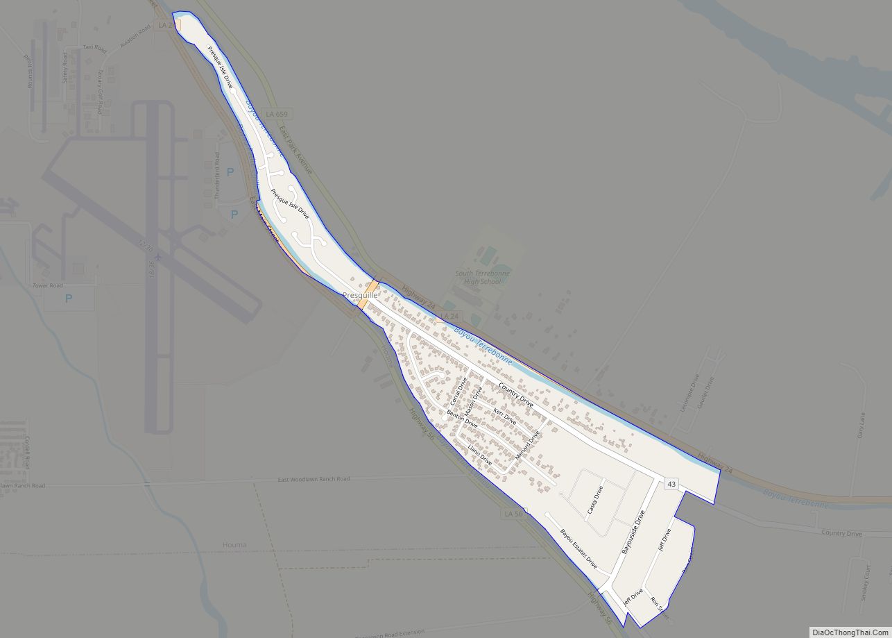
Presquille is an unincorporated community and census-designated place in Terrebonne Parish, Louisiana, United States. Its population was 1,807 as of the 2010 census. Louisiana Highway 24 passes through the community. Presquille CDP overview: Name: Presquille CDP LSAD Code: 57 LSAD Description: CDP (suffix) State: Louisiana County: Terrebonne Parish Elevation: 10 ft (3 m) Total Area: 0.78 sq mi (2.03 km²) ... Read more
