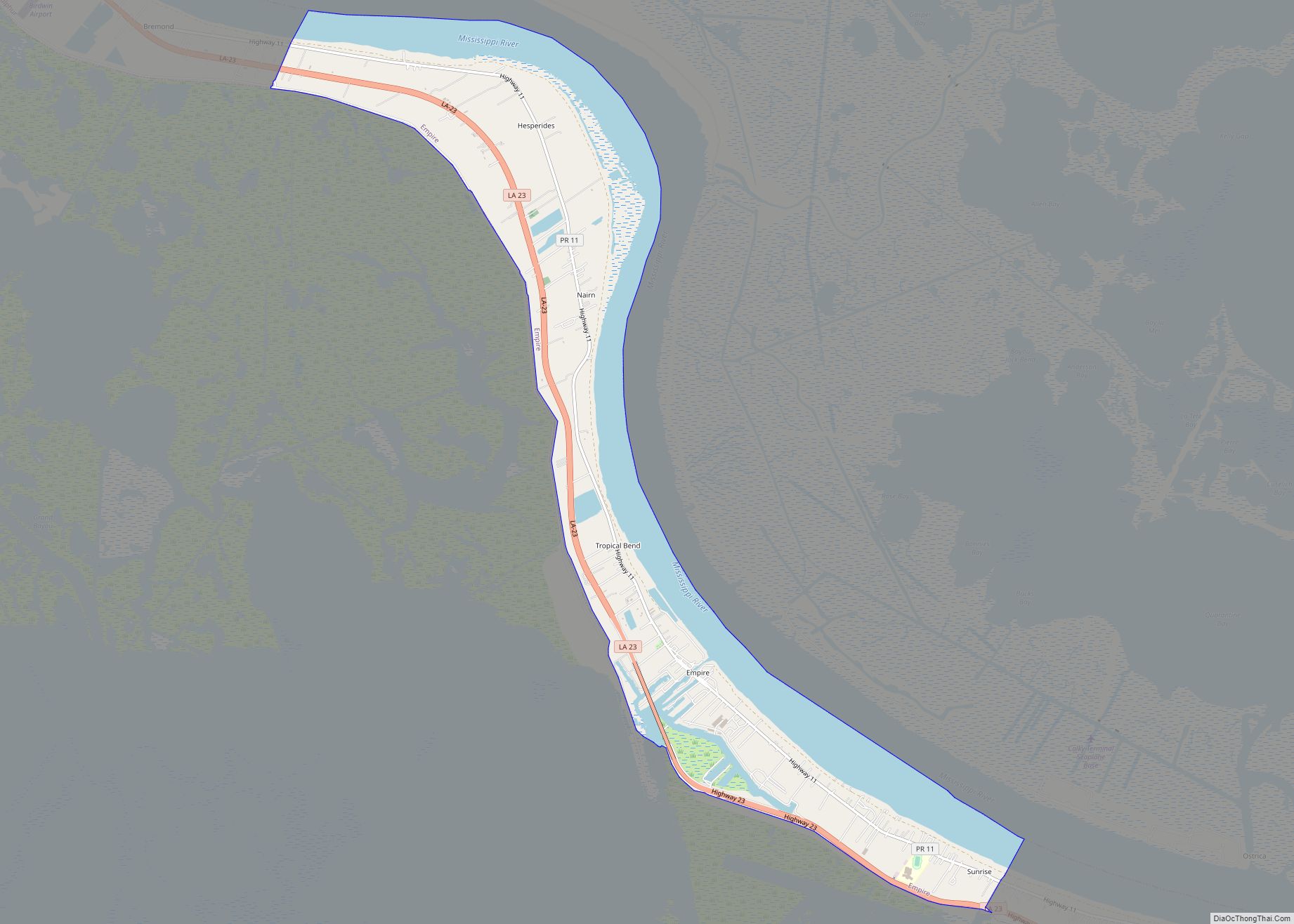
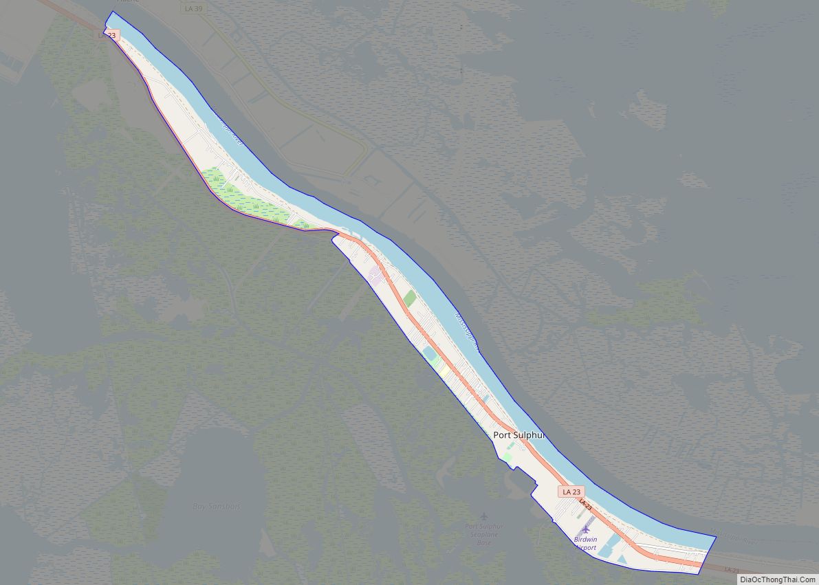
Port Sulphur is a census-designated place (CDP) on the West Bank of the Mississippi River in Plaquemines Parish, Louisiana, United States; at the 2020 census, it had a population of 1,677.
| Name: | Port Sulphur CDP |
|---|---|
| LSAD Code: | 57 |
| LSAD Description: | CDP (suffix) |
| State: | Louisiana |
| County: | Plaquemines Parish |
| Elevation: | 3 ft (0.9 m) |
| Total Area: | 8.41 sq mi (21.78 km²) |
| Land Area: | 5.41 sq mi (14.02 km²) |
| Water Area: | 3.00 sq mi (7.77 km²) |
| Total Population: | 1,677 |
| Population Density: | 309.87/sq mi (119.65/km²) |
| Area code: | 504 |
| FIPS code: | 2262070 |
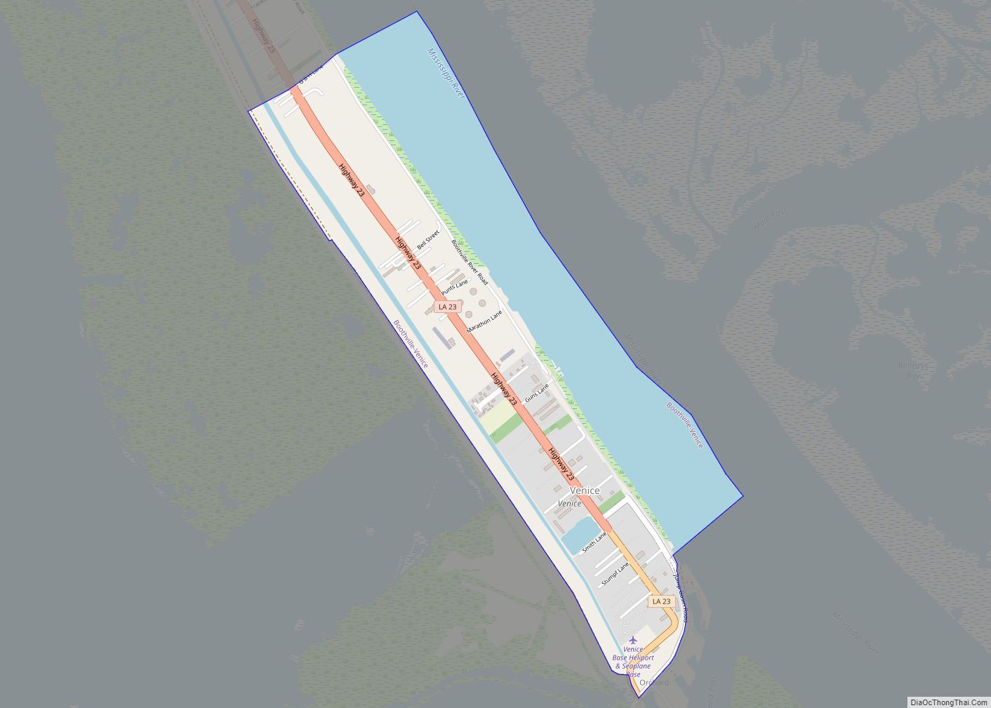
Online Interactive Map
Click on ![]() to view map in "full screen" mode.
to view map in "full screen" mode.
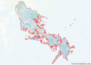
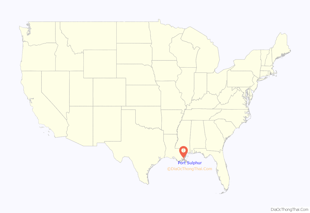
Port Sulphur location map. Where is Port Sulphur CDP?
History
Port Sulphur was originally a typical company town, with its residents and civic life closely tied to the Freeport Sulphur Company. As the company divested itself of much of the town property and governance, it became more of a regular town with private individual land ownership. As the number of employees at the site dwindled, the Freeport Company became less important in everyday life and economic activity. At some point, most of the company-owned land not necessary for the sulphur operation was transferred to Plaquemines Parish or sold to private owners. The economic fortunes of the Freeport Sulphur Company declined during the 1980s and 1990s, resulting from the competitive forces of recovered Sulphur processed from sour oil & gas. In the early 2000s Freeport Sulphur shut down operations, as the price of sulphur dropped too low because large amounts of sulphur recovered during petroleum refining and from Canadian natural gas exploration were dumped on the international sulphur market. With inexpensive recovered sulphur in large supply, the large scale and expensive Frasch Process sulphur mining and storage operations proved to be uneconomical and were discontinued. The Freeport-McMoRan Port Sulphur facility was closed and sold. Hurricane Katrina destroyed much of what was left of the sulphur facility in August 2005, with a few buildings remaining. With the closing of Freeport-McMoRan Sulphur, the town has been seeking another economic identity.
The large brick Plaquemines Parish Government building located on Louisiana Highway 23 (LA 23) in town next to the former Freeport property was originally the Freeport Sulphur Company administration building. The Port Sulphur school and other buildings located around the Civic Drive area were originally located on company property and are oriented towards the former Freeport Property. Much of the original town buildings were sold or removed, and much of the original town site sits mostly vacant empty land, with a large stand of oak trees on the former Freeport Property next to the Plaquemines Government building. An historical marker about Port Sulphur is located in front of the Government Building. The golf course land located on LA 23, just south of the former Freeport property, was originally a neighborhood of the company townsite. The land was later donated to the Plaquemines Parish Government.
The town began to struggle economically after Freeport Sulphur Mine ended its business in the town.
The town is 8 feet (2.4 m) above sea level and had not flooded during Hurricane Betsy nor Hurricane Camille. Before Hurricane Katrina and Hurricane Rita about 3,000 people lived in Port Sulphur. Nevertheless, during Hurricane Katrina, the federal levees failed and around 22 feet (6.7 m) of water engulfed the town. Almost all single-family homes in the town were destroyed, many of which were moved off their foundations by as much as 100 feet. In the months following Katrina, some residents moved back to Port Sulphur in trailers and modular homes provided by the Federal Emergency Management Agency. But many residents relocated to other parts of Louisiana, the Southeast, and Texas.
By November 2006, in the post-Katrina period, the post office and several businesses had reopened, and Highway 23 had some street lights added. By December 2007 there were about 1,500 residents of Port Sulphur and the majority of the small businesses resumed operations. Due to the usage of modular buildings and trailers in the period, Jeré Longman described it as “a feel of impermanence and uncertainty.”
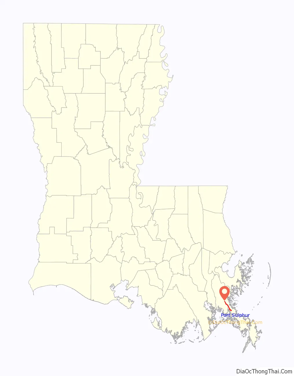
Port Sulphur Road Map
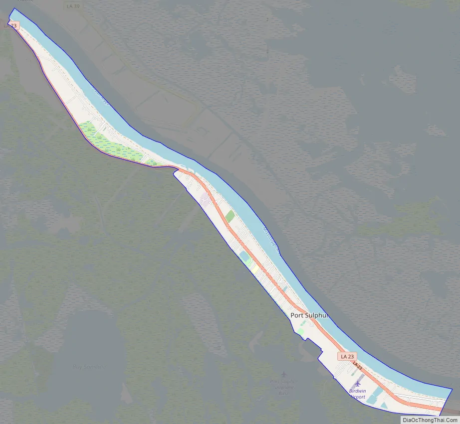
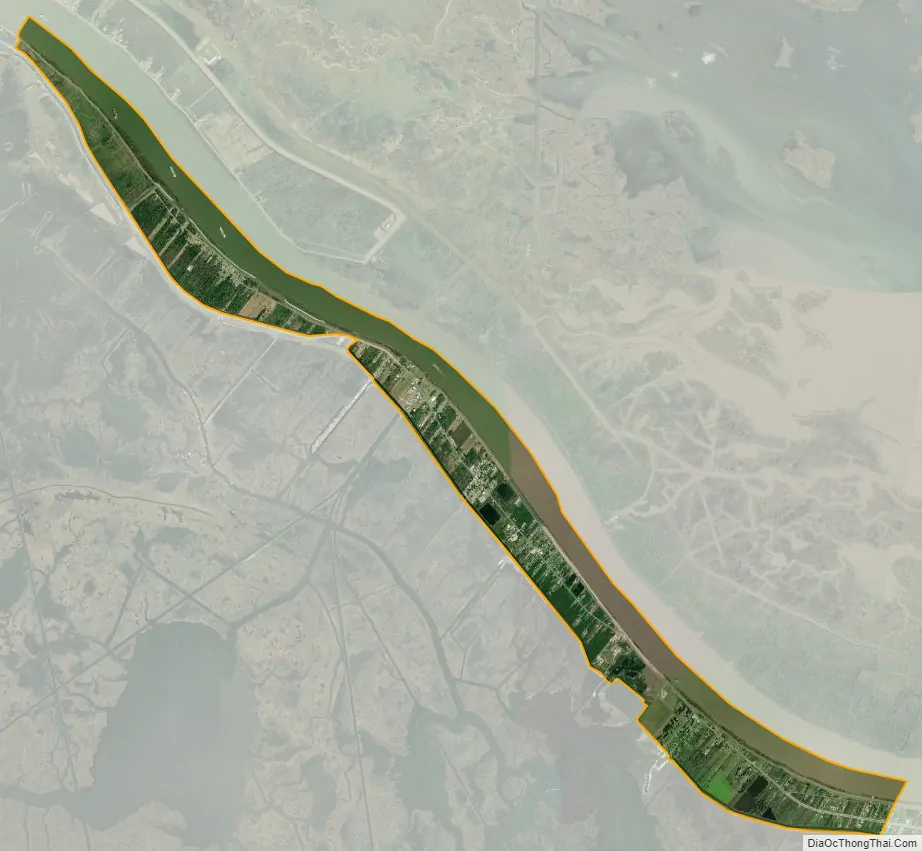
Port Sulphur city Satellite Map
Geography
Port Sulphur is located at 29°29′40″N 89°42′45″W / 29.49444°N 89.71250°W / 29.49444; -89.71250 (29.494496, -89.712383).
According to the United States Census Bureau, the CDP has a total area of 8.5 square miles (22 km), of which 5.5 square miles (14 km) is land and 3.0 square miles (7.8 km) (35.29%) is water.
See also
Map of Louisiana State and its subdivision:- Acadia
- Allen
- Ascension
- Assumption
- Avoyelles
- Beauregard
- Bienville
- Bossier
- Caddo
- Calcasieu
- Caldwell
- Cameron
- Catahoula
- Claiborne
- Concordia
- De Soto
- East Baton Rouge
- East Carroll
- East Feliciana
- Evangeline
- Franklin
- Grant
- Iberia
- Iberville
- Jackson
- Jefferson
- Jefferson Davis
- La Salle
- Lafayette
- Lafourche
- Lincoln
- Livingston
- Madison
- Morehouse
- Natchitoches
- Orleans
- Ouachita
- Plaquemines
- Pointe Coupee
- Rapides
- Red River
- Richland
- Sabine
- Saint Bernard
- Saint Charles
- Saint Helena
- Saint James
- Saint John the Baptist
- Saint Landry
- Saint Martin
- Saint Mary
- Saint Tammany
- Tangipahoa
- Tensas
- Terrebonne
- Union
- Vermilion
- Vernon
- Washington
- Webster
- West Baton Rouge
- West Carroll
- West Feliciana
- Winn
- Alabama
- Alaska
- Arizona
- Arkansas
- California
- Colorado
- Connecticut
- Delaware
- District of Columbia
- Florida
- Georgia
- Hawaii
- Idaho
- Illinois
- Indiana
- Iowa
- Kansas
- Kentucky
- Louisiana
- Maine
- Maryland
- Massachusetts
- Michigan
- Minnesota
- Mississippi
- Missouri
- Montana
- Nebraska
- Nevada
- New Hampshire
- New Jersey
- New Mexico
- New York
- North Carolina
- North Dakota
- Ohio
- Oklahoma
- Oregon
- Pennsylvania
- Rhode Island
- South Carolina
- South Dakota
- Tennessee
- Texas
- Utah
- Vermont
- Virginia
- Washington
- West Virginia
- Wisconsin
- Wyoming