Poydras is a census-designated place (CDP) in St. Bernard Parish, Louisiana, United States. The population was 3,886 at the 2000 census and 2,536 in 2020. It is part of the New Orleans–Metairie–Kenner Metropolitan Statistical Area. Poydras is on the East Bank of the Mississippi River, just upriver from the Plaquemines Parish line.
| Name: | Poydras CDP |
|---|---|
| LSAD Code: | 57 |
| LSAD Description: | CDP (suffix) |
| State: | Louisiana |
| County: | St. Bernard Parish |
| Elevation: | 7 ft (2 m) |
| Total Area: | 4.27 sq mi (11.06 km²) |
| Land Area: | 3.91 sq mi (10.12 km²) |
| Water Area: | 0.36 sq mi (0.94 km²) |
| Total Population: | 2,536 |
| Population Density: | 648.93/sq mi (250.55/km²) |
| Area code: | 504 |
| FIPS code: | 2262280 |
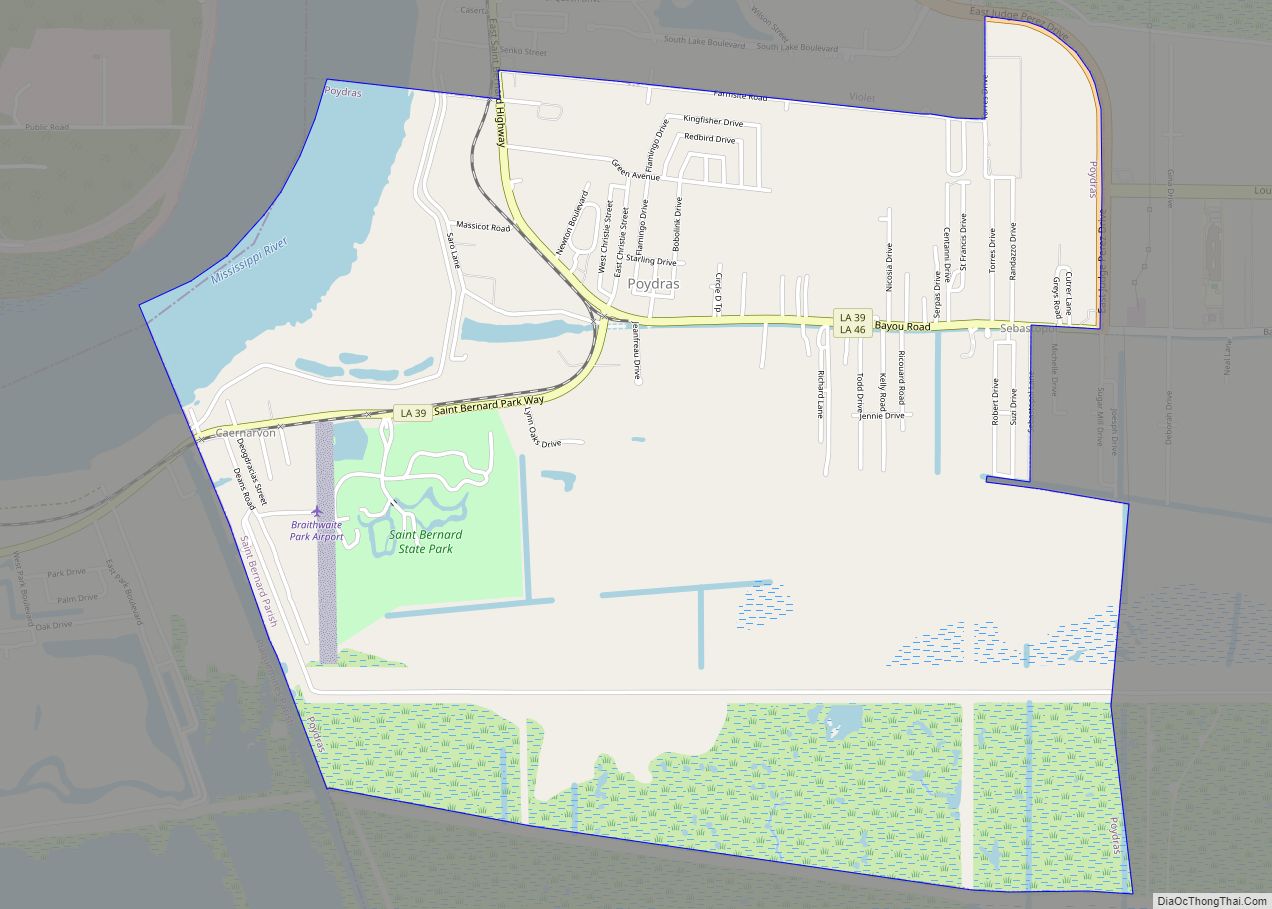
Online Interactive Map
Click on ![]() to view map in "full screen" mode.
to view map in "full screen" mode.
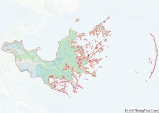
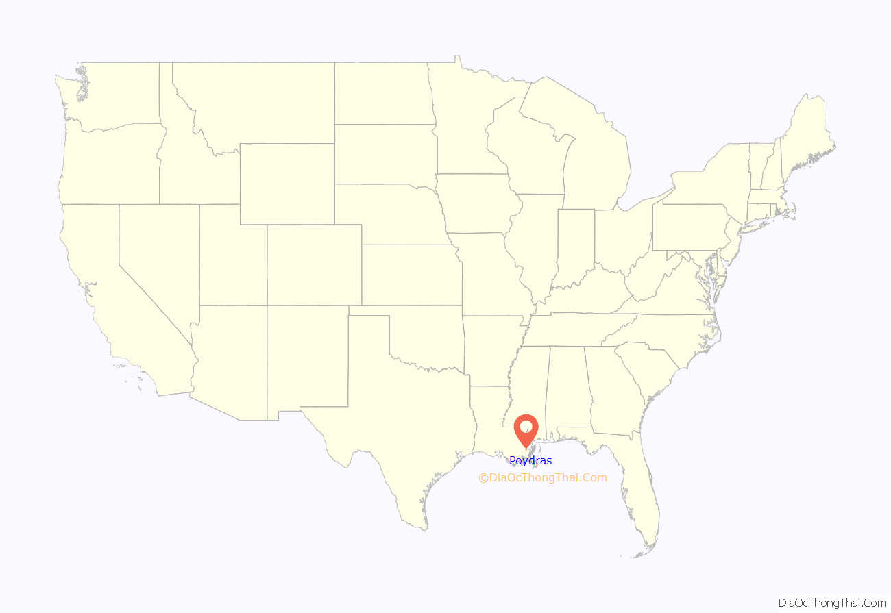
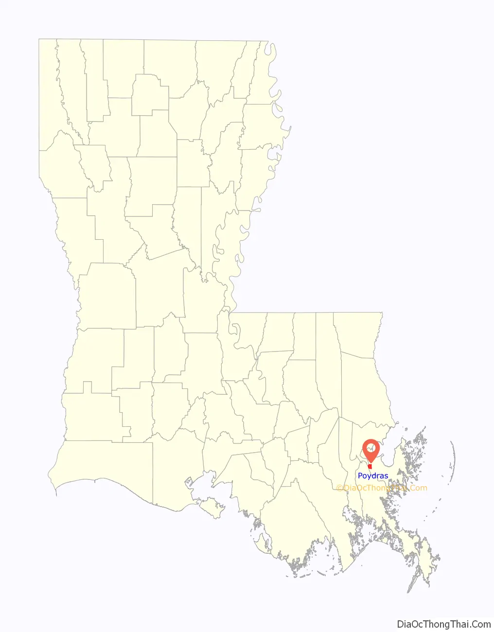
Poydras location map. Where is Poydras CDP?
History
Poydras was first settled in the 18th century by Isleños when Louisiana was a Spanish colony. Presumably, the town is named for Julien Poydras.
Albert Estopinal, Jr., a St. Bernard Parish district attorney, judge, and sheriff, was born in Poydras in 1869 to later U.S. Representative, Albert Estopinal, Sr.
The locally constructed levee failed during the 1922 flood and the community of Poydras was destroyed. Some historians claim that the levee break was intentional to save the City of New Orleans. The New Orleans river stage dropped .2 foot within 24 hours of the Poydras crevasse and a sound levee had been inspected and reported only 30 minutes before the breach occurred.
Poydras was severely damaged by the impact of Hurricane Katrina on 29 August 2005.
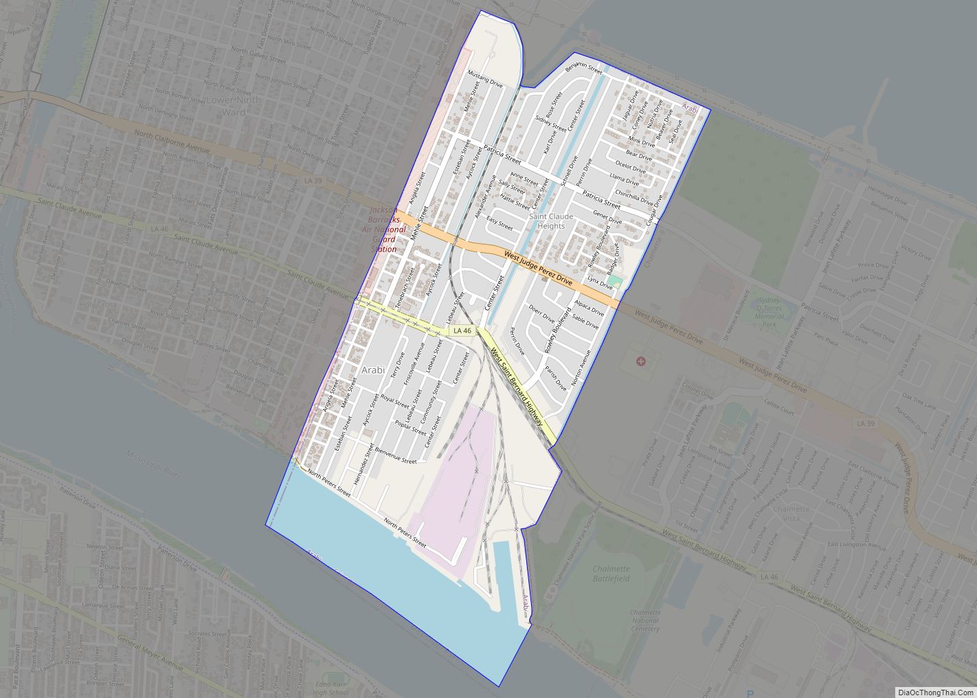
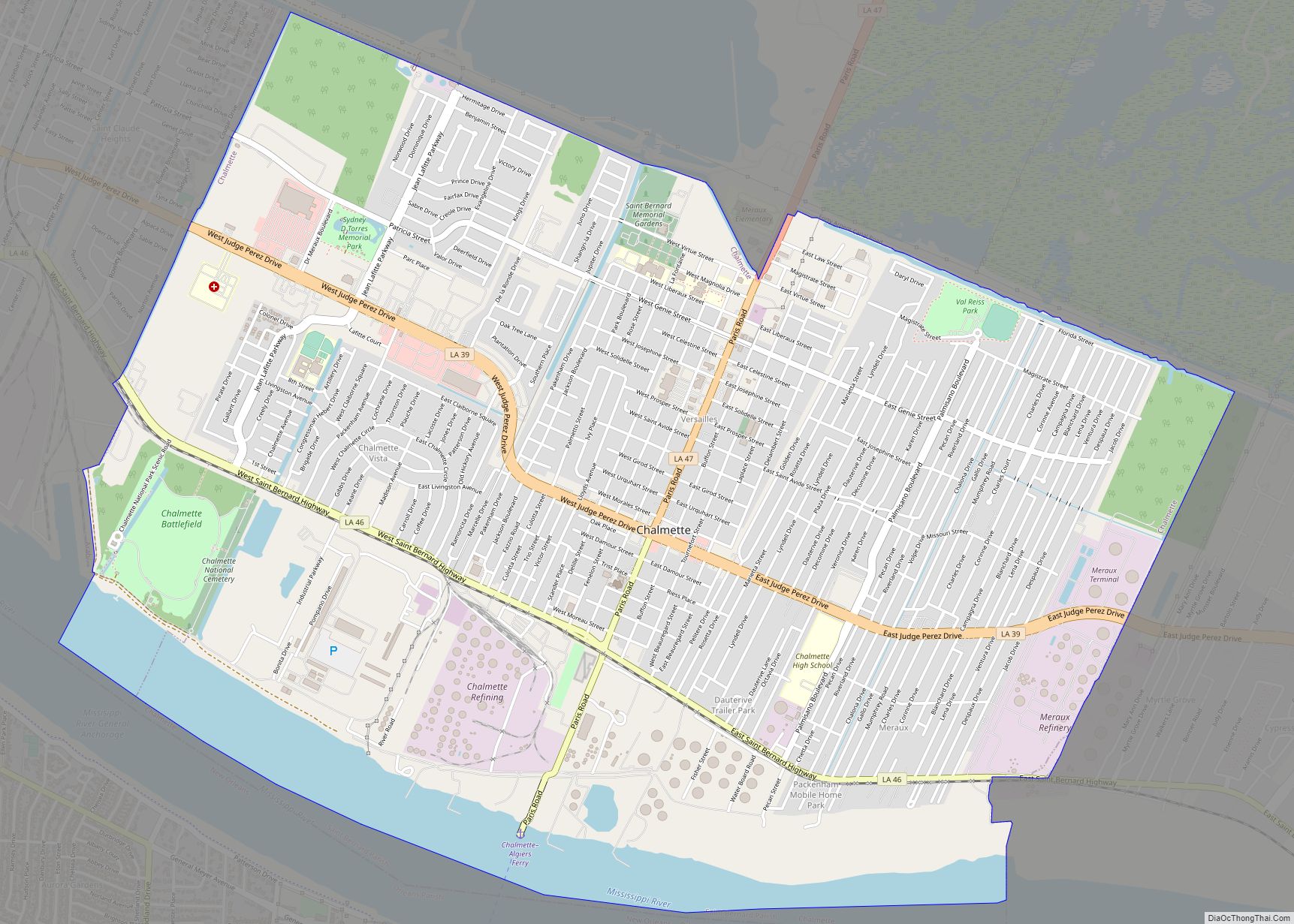
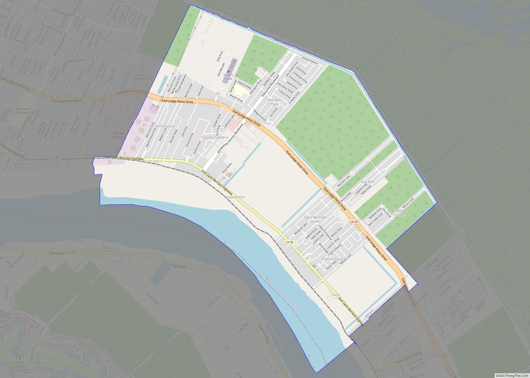
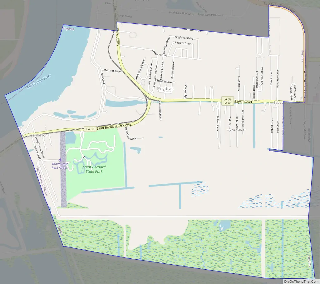
Poydras Road Map
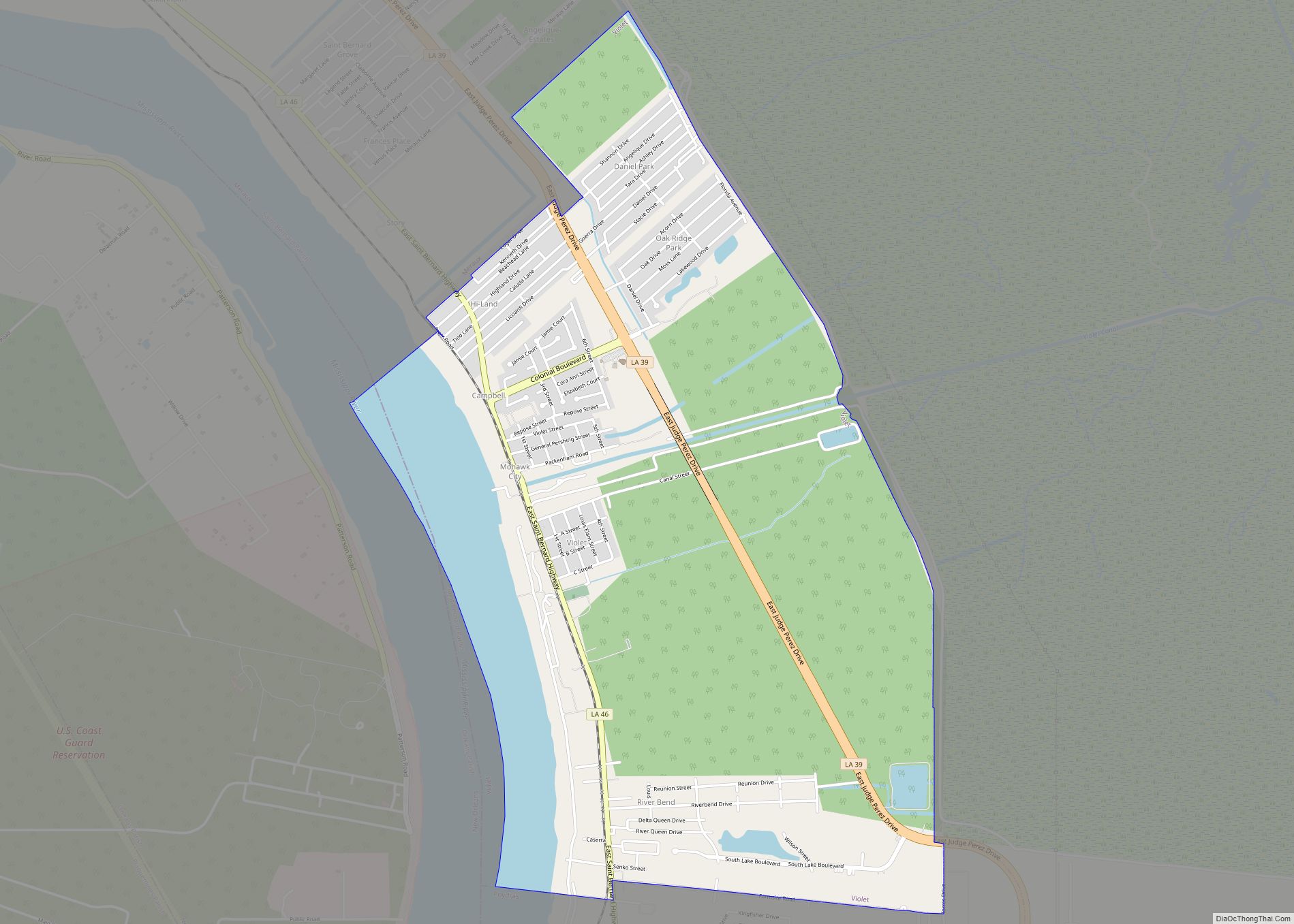
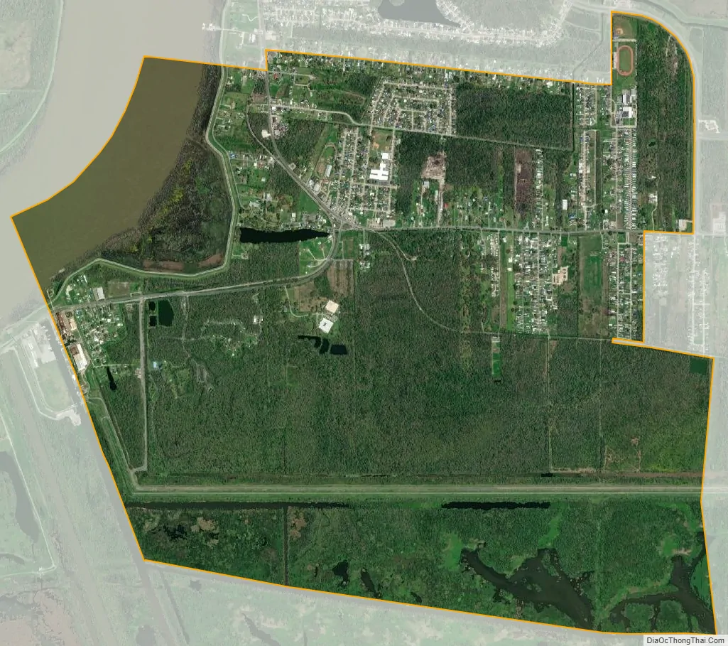
Poydras city Satellite Map
Geography
Poydras is located at 29°52′11″N 89°53′20″W / 29.86972°N 89.88889°W / 29.86972; -89.88889 (29.869696, -89.888955).
According to the United States Census Bureau, the CDP has a total area of 4.4 square miles (11 km), of which 4.2 square miles (11 km) is land and 0.2 square miles (0.52 km) (4.81%) is water.
See also
Map of Louisiana State and its subdivision:- Acadia
- Allen
- Ascension
- Assumption
- Avoyelles
- Beauregard
- Bienville
- Bossier
- Caddo
- Calcasieu
- Caldwell
- Cameron
- Catahoula
- Claiborne
- Concordia
- De Soto
- East Baton Rouge
- East Carroll
- East Feliciana
- Evangeline
- Franklin
- Grant
- Iberia
- Iberville
- Jackson
- Jefferson
- Jefferson Davis
- La Salle
- Lafayette
- Lafourche
- Lincoln
- Livingston
- Madison
- Morehouse
- Natchitoches
- Orleans
- Ouachita
- Plaquemines
- Pointe Coupee
- Rapides
- Red River
- Richland
- Sabine
- Saint Bernard
- Saint Charles
- Saint Helena
- Saint James
- Saint John the Baptist
- Saint Landry
- Saint Martin
- Saint Mary
- Saint Tammany
- Tangipahoa
- Tensas
- Terrebonne
- Union
- Vermilion
- Vernon
- Washington
- Webster
- West Baton Rouge
- West Carroll
- West Feliciana
- Winn
- Alabama
- Alaska
- Arizona
- Arkansas
- California
- Colorado
- Connecticut
- Delaware
- District of Columbia
- Florida
- Georgia
- Hawaii
- Idaho
- Illinois
- Indiana
- Iowa
- Kansas
- Kentucky
- Louisiana
- Maine
- Maryland
- Massachusetts
- Michigan
- Minnesota
- Mississippi
- Missouri
- Montana
- Nebraska
- Nevada
- New Hampshire
- New Jersey
- New Mexico
- New York
- North Carolina
- North Dakota
- Ohio
- Oklahoma
- Oregon
- Pennsylvania
- Rhode Island
- South Carolina
- South Dakota
- Tennessee
- Texas
- Utah
- Vermont
- Virginia
- Washington
- West Virginia
- Wisconsin
- Wyoming