Port Barre (BAH-ree) is a town in St. Landry Parish, Louisiana, United States. The town began in 1760 as an Indian trading post at the place where Bayou Teche flows out of Bayou Courtableau. The population was 2,055 at the 2010 census, down from 2,287 in 2000. It is part of the Opelousas–Eunice Micropolitan Statistical Area and home to the Port Barre High School Red Devils.
| Name: | Port Barre town |
|---|---|
| LSAD Code: | 43 |
| LSAD Description: | town (suffix) |
| State: | Louisiana |
| County: | St. Landry Parish |
| Elevation: | 23 ft (7 m) |
| Total Area: | 1.12 sq mi (2.89 km²) |
| Land Area: | 1.08 sq mi (2.79 km²) |
| Water Area: | 0.04 sq mi (0.10 km²) |
| Total Population: | 1,751 |
| Population Density: | 1,624.30/sq mi (627.35/km²) |
| ZIP code: | 70577 |
| Area code: | 337 |
| FIPS code: | 2261825 |
| Website: | https://www.townofportbarre.com |
Online Interactive Map
Click on ![]() to view map in "full screen" mode.
to view map in "full screen" mode.
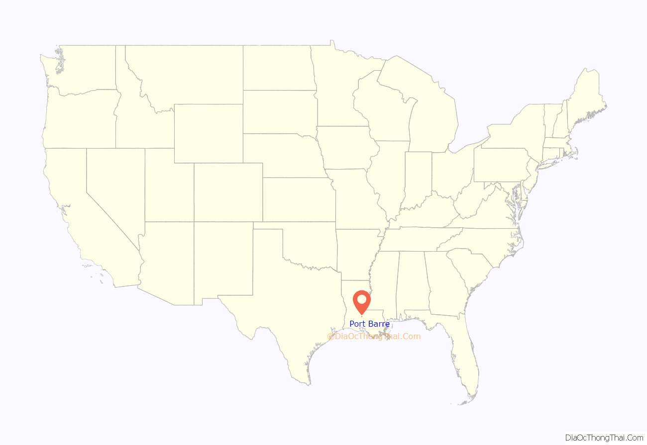
Port Barre location map. Where is Port Barre town?
History
Port Barre takes its name from Alex Charles Barre (born 1746, died 1829); it was not incorporated under this name until 1898.
In 1733, the semi-nomadic Opelousas Indians petitioned the French colonial government to send traders to their district. In 1760, a couple of coureurs des bois set up a trading post at a landing where the bayous meet.
In 1765, Jacques Courtableau, a wealthy landowner, gave land grants to 32 Acadian immigrants. That same year, he sold a large parcel of land, including the site of the first trading post, to Charles Barre. The post later became known as Barre’s Landing, then Port Barre. It thrived as a port town before the days of the railroads.
Alex Charles Barre is a descendant of Guillaume Barre, born 1642 in St. Valery, France. He emigrated, settling about 1665 at Martinique in the French West Indies. There Guillaume Barre met Jean Roy (1625–1707) and Jean Hebert (1624), and they traveled together to Louisiana.
The Barres settled in Pointe Coupee, Louisiana, where they met the Nezat family (Pierre Nezat coming from Saint Domingue), and the Provost family (Nicolas Provost coming from Paris via Fort de Chartres, in the Illinois Country. In 1765, Charles Alex Barre bought a large parcel of land including the site of the first trading post from Jacques Courtableau. Barre married Magdelaine Decuir in Pointe Coupee, and they had 11 children together. Three of their children married three members of the Nezat family. At this same time, three Nezats married three Roys, and the three families became closely entwined.
In 1820, Charles Alex Barre purchased additional acres from Sieur Jacques Guillaume Courtableau along the bank of the bayou, where the Barre family operated a goods handling business. The Barre, Nezat, and Roy families settled in this area and expanded. The settlement continued to grow through the 19th century. On July 13, 1898, the village of Port Barre was officially incorporated by Act of Proclamation of Louisiana Governor Jared Y. Sanders, Sr.
Port Barre Road Map
Port Barre city Satellite Map
Geography
Port Barre is located 8 miles east of Opelousas, and 52 miles west of Baton Rouge via U.S. Highway 190 at the confluence of Bayou Courtableau and Bayou Teche.
According to the United States Census Bureau, the town has a total area of 1.1 square miles (2.8 km), all land.
See also
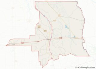
Map of Louisiana State and its subdivision:- Acadia
- Allen
- Ascension
- Assumption
- Avoyelles
- Beauregard
- Bienville
- Bossier
- Caddo
- Calcasieu
- Caldwell
- Cameron
- Catahoula
- Claiborne
- Concordia
- De Soto
- East Baton Rouge
- East Carroll
- East Feliciana
- Evangeline
- Franklin
- Grant
- Iberia
- Iberville
- Jackson
- Jefferson
- Jefferson Davis
- La Salle
- Lafayette
- Lafourche
- Lincoln
- Livingston
- Madison
- Morehouse
- Natchitoches
- Orleans
- Ouachita
- Plaquemines
- Pointe Coupee
- Rapides
- Red River
- Richland
- Sabine
- Saint Bernard
- Saint Charles
- Saint Helena
- Saint James
- Saint John the Baptist
- Saint Landry
- Saint Martin
- Saint Mary
- Saint Tammany
- Tangipahoa
- Tensas
- Terrebonne
- Union
- Vermilion
- Vernon
- Washington
- Webster
- West Baton Rouge
- West Carroll
- West Feliciana
- Winn
- Alabama
- Alaska
- Arizona
- Arkansas
- California
- Colorado
- Connecticut
- Delaware
- District of Columbia
- Florida
- Georgia
- Hawaii
- Idaho
- Illinois
- Indiana
- Iowa
- Kansas
- Kentucky
- Louisiana
- Maine
- Maryland
- Massachusetts
- Michigan
- Minnesota
- Mississippi
- Missouri
- Montana
- Nebraska
- Nevada
- New Hampshire
- New Jersey
- New Mexico
- New York
- North Carolina
- North Dakota
- Ohio
- Oklahoma
- Oregon
- Pennsylvania
- Rhode Island
- South Carolina
- South Dakota
- Tennessee
- Texas
- Utah
- Vermont
- Virginia
- Washington
- West Virginia
- Wisconsin
- Wyoming
