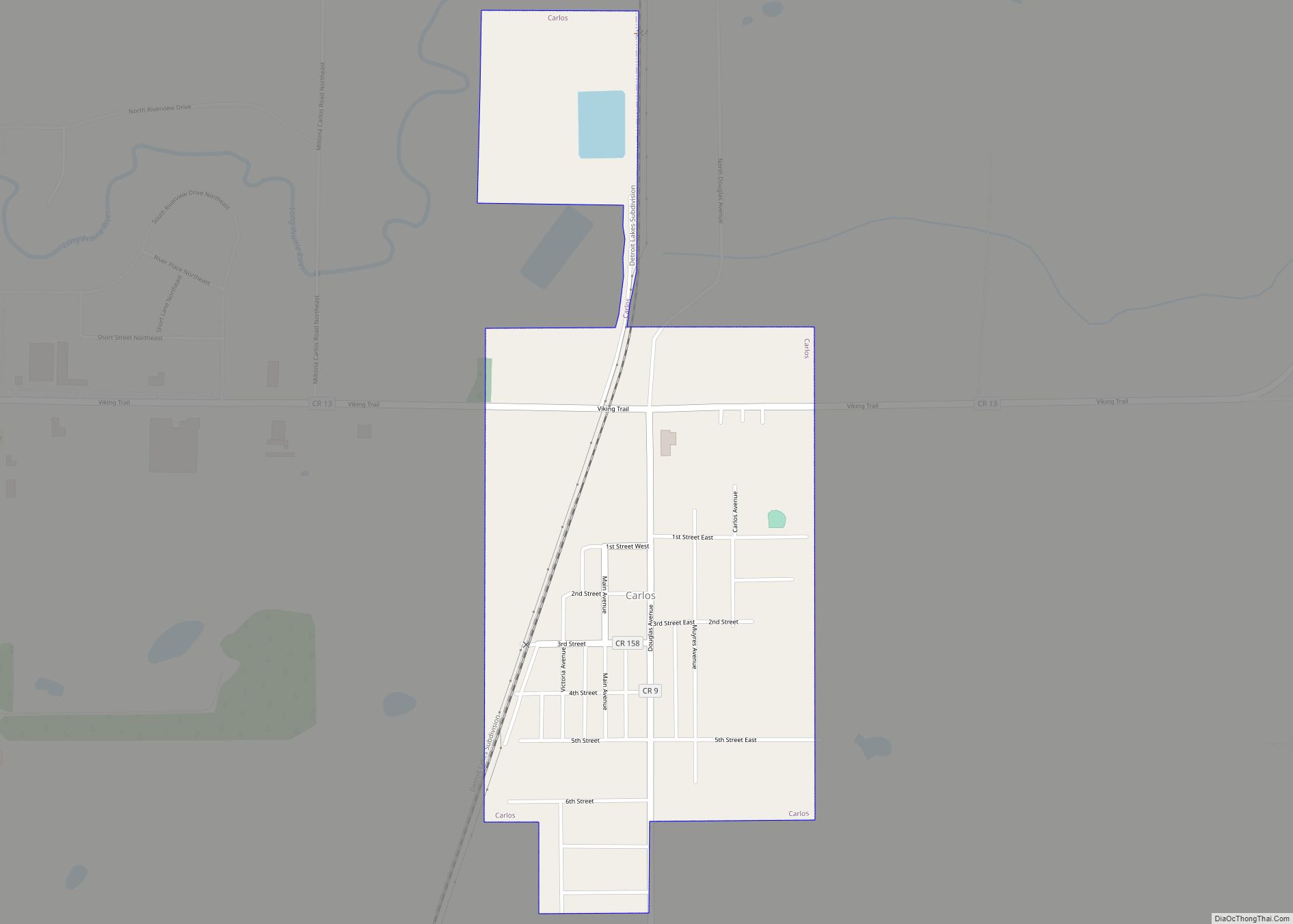
Carlos is a city in Douglas County, Minnesota, United States. The population was 497 at the 2020 census. Carlos city overview: Name: Carlos city LSAD Code: 25 LSAD Description: city (suffix) State: Minnesota County: Douglas County Elevation: 1,368 ft (417 m) Total Area: 0.45 sq mi (1.16 km²) Land Area: 0.45 sq mi (1.16 km²) Water Area: 0.00 sq mi (0.00 km²) Total Population: 497 Population ... Read more
Minnesota Cities and Places
Chandler is a town in Murray County, Minnesota, United States. The population was 270 at the 2010 census. Chandler city overview: Name: Chandler city LSAD Code: 25 LSAD Description: city (suffix) State: Minnesota County: Murray County Elevation: 1,693 ft (516 m) Total Area: 0.79 sq mi (2.05 km²) Land Area: 0.79 sq mi (2.05 km²) Water Area: 0.00 sq mi (0.00 km²) Total Population: 279 Population ... Read more
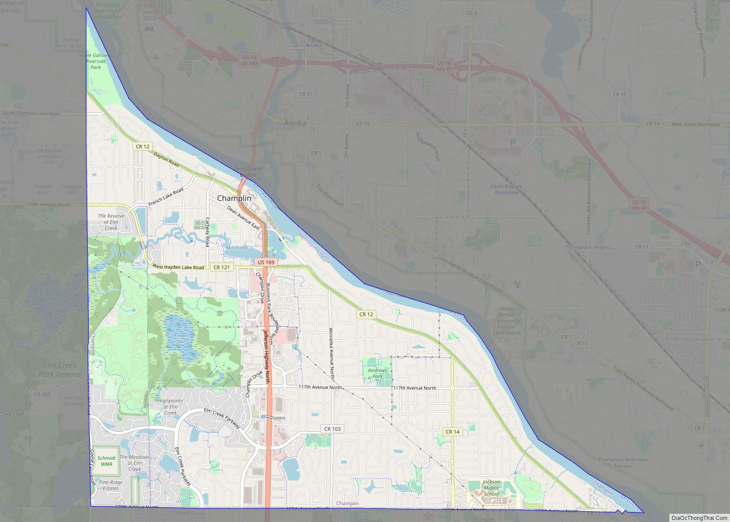
Champlin (/ˈtʃæmplən/ CHAMP-lən) is a city in Hennepin County, Minnesota, United States. The population was 23,919 at the 2020 census. Champlin is a northern suburb of Minneapolis. U.S. Highway 169 and Hennepin County Road 12 (CR 12) are two of the main routes in Champlin. Champlin city overview: Name: Champlin city LSAD Code: 25 LSAD ... Read more
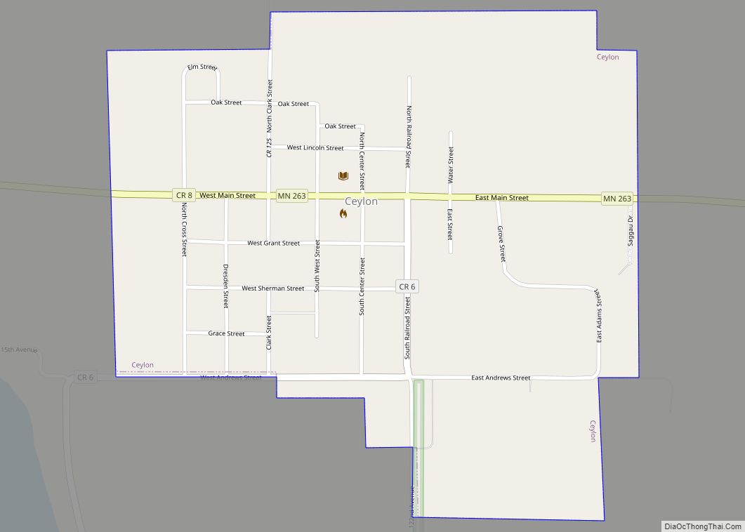
Ceylon (/ˈseɪlɒn/) is a city in Martin County, Minnesota, United States. The population was 369 at the 2010 census. Ceylon city overview: Name: Ceylon city LSAD Code: 25 LSAD Description: city (suffix) State: Minnesota County: Martin County Elevation: 1,266 ft (386 m) Total Area: 0.52 sq mi (1.34 km²) Land Area: 0.52 sq mi (1.34 km²) Water Area: 0.00 sq mi (0.00 km²) Total Population: 303 ... Read more
Centerville is a city in Anoka County, Minnesota, United States. The population was 3,792 at the 2010 census. Centerville city overview: Name: Centerville city LSAD Code: 25 LSAD Description: city (suffix) State: Minnesota County: Anoka County Incorporated: September 27, 1910 Elevation: 909 ft (277 m) Total Area: 2.43 sq mi (6.28 km²) Land Area: 2.13 sq mi (5.50 km²) Water Area: 0.30 sq mi (0.78 km²) ... Read more
Center City is a city and the county seat of Chisago County, Minnesota, United States. The population was 628 at the 2010 census. U.S. Highway 8 serves as a main route. Center City city overview: Name: Center City city LSAD Code: 25 LSAD Description: city (suffix) State: Minnesota County: Chisago County Elevation: 932 ft (284 m) Total ... Read more
Chisago City (/ʃɪˈsɑːɡoʊ/ shi-SAH-goh) is a city in Chisago County, Minnesota, United States, approximately 35 miles northeast of downtown Minneapolis–Saint Paul. The population was 4,967 at the 2010 census. The city is between the twin lakes of Chisago Lake and Green Lake, and is part of the Chisago lakes region. Chisago City city overview: Name: ... Read more
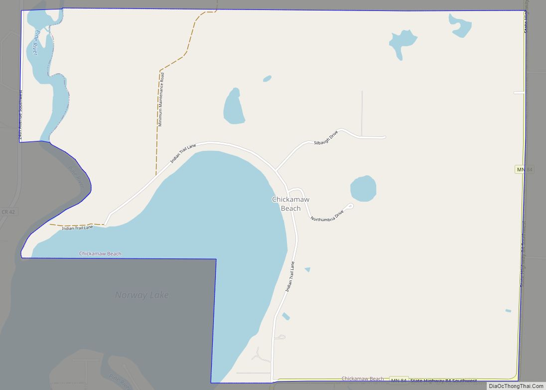
Chickamaw Beach is a city in Cass County, Minnesota, United States. The population was 114 at the 2010 census. It is part of the Brainerd Micropolitan Statistical Area. Chickamaw Beach city overview: Name: Chickamaw Beach city LSAD Code: 25 LSAD Description: city (suffix) State: Minnesota County: Cass County Elevation: 1,302 ft (397 m) Total Area: 2.64 sq mi (6.85 km²) ... Read more
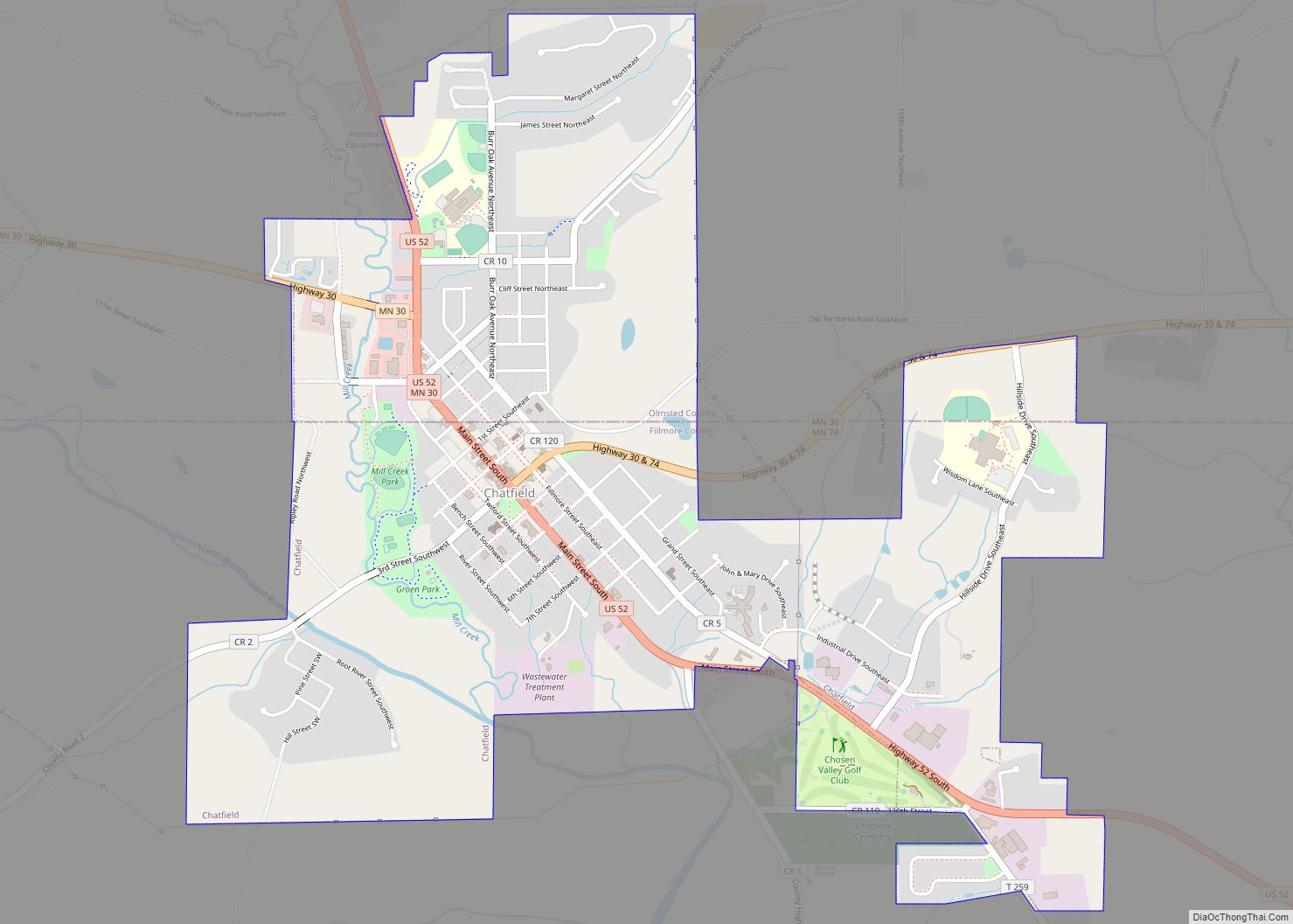
Chatfield is a city in Fillmore and Olmsted counties in the U.S. state of Minnesota. The population was 2,779 at the 2010 census. The city’s area is split almost equally between the two counties. Chatfield is known as “The Gateway to Bluff Country” and “The Chosen Valley”. Chatfield city overview: Name: Chatfield city LSAD Code: ... Read more
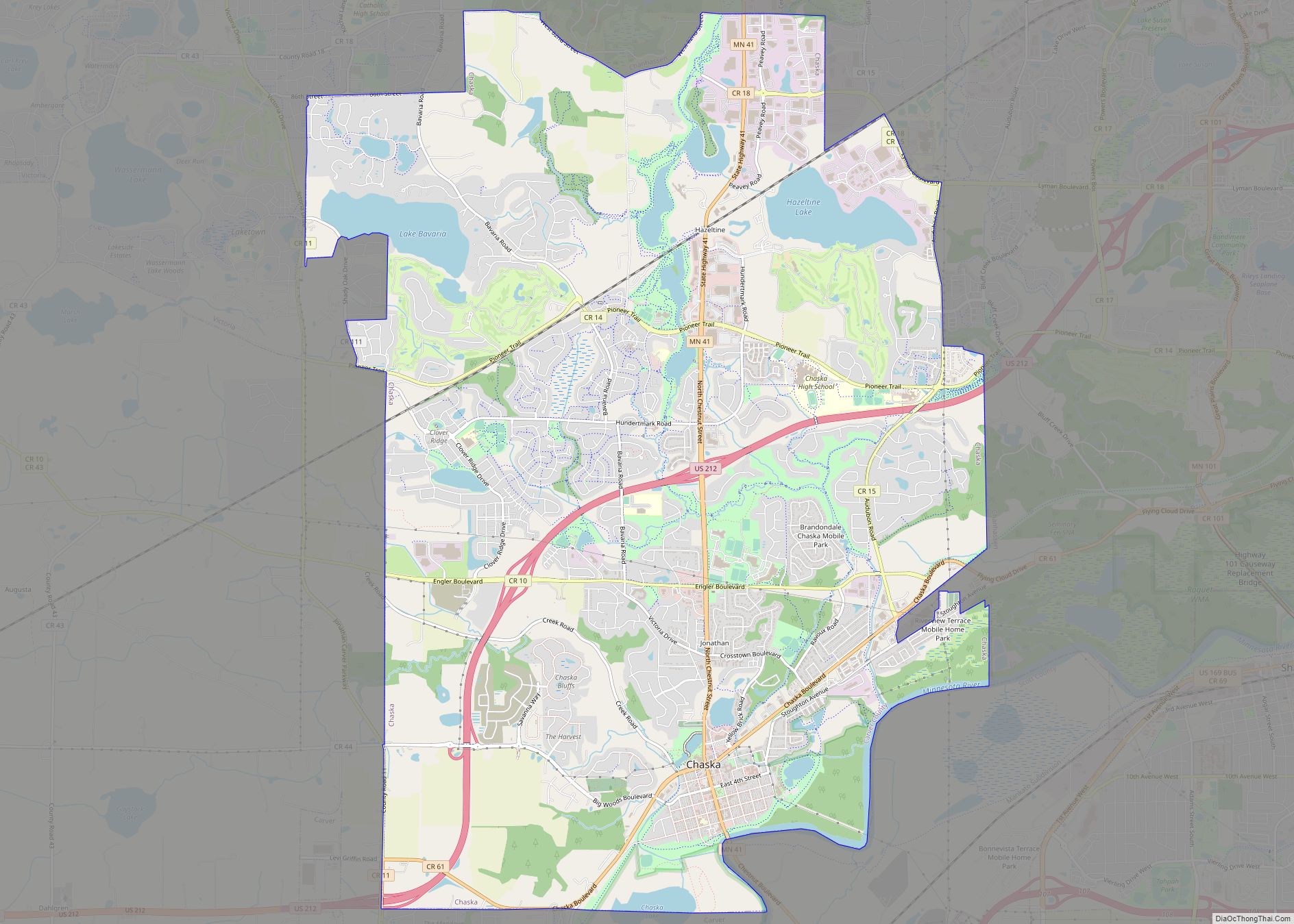
Chaska (/ˈtʃæskə/ CHASS-kə) is a city and the county seat of Carver County, Minnesota, United States. An outer ring suburb of the Twin Cities, Chaska is home to the Hazeltine National Golf Club and is known for its historic downtown area located on a bend of the Minnesota River. The City of Chaska merged with ... Read more
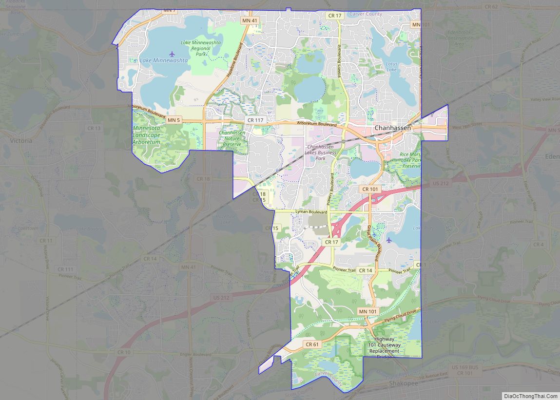
Chanhassen (/ˈtʃænhæsən/ CHAN-hass-ən) is a city about 16 miles (26 kilometres) southwest of Minneapolis in Carver County and partially in Hennepin County, Minnesota, United States. The southwest edge of the Minneapolis–Saint Paul suburbs, there is a mix of residential neighborhoods and rural landscapes. The population was 25,947 at the 2020 census. Chanhassen city overview: Name: ... Read more
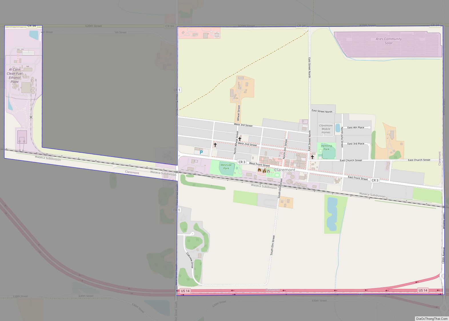
Claremont is a city in Dodge County, Minnesota, United States. The population was 548 at the 2010 census. Claremont city overview: Name: Claremont city LSAD Code: 25 LSAD Description: city (suffix) State: Minnesota County: Dodge County Elevation: 1,286 ft (392 m) Total Area: 1.08 sq mi (2.79 km²) Land Area: 1.08 sq mi (2.79 km²) Water Area: 0.00 sq mi (0.00 km²) Total Population: 513 Population ... Read more
