Center City is a city and the county seat of Chisago County, Minnesota, United States. The population was 628 at the 2010 census.
U.S. Highway 8 serves as a main route.
| Name: | Center City city |
|---|---|
| LSAD Code: | 25 |
| LSAD Description: | city (suffix) |
| State: | Minnesota |
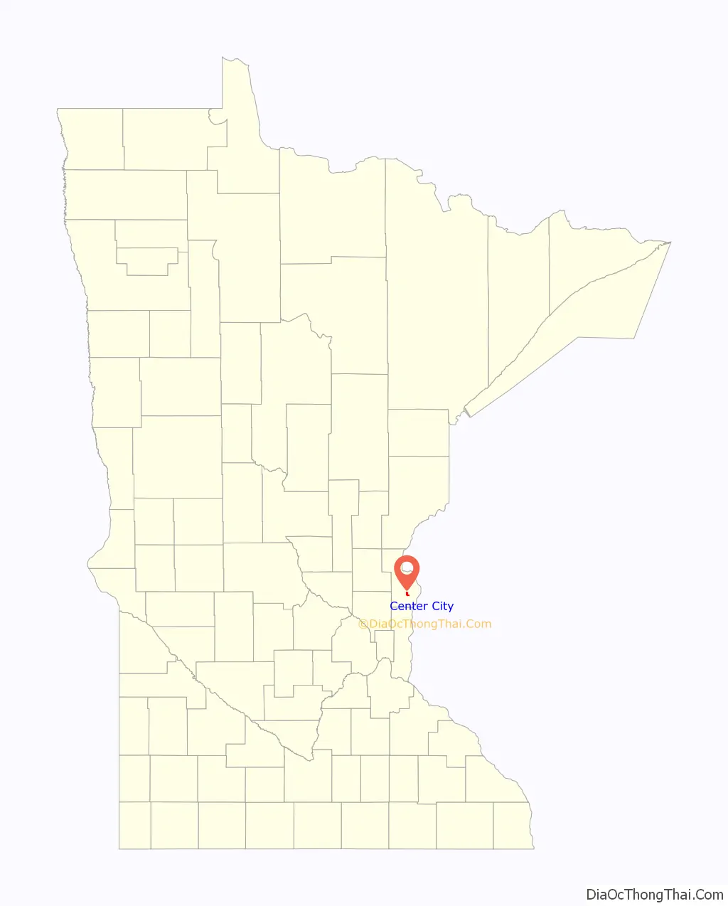
| County: | Chisago County |
| Elevation: | 932 ft (284 m) |
| Total Area: | 0.59 sq mi (1.54 km²) |
| Land Area: | 0.58 sq mi (1.51 km²) |
| Water Area: | 0.01 sq mi (0.03 km²) |
| Total Population: | 629 |
| Population Density: | 1,075.21/sq mi (415.27/km²) |
| ZIP code: | 55002, 55012 |
| Area code: | 651 |
| FIPS code: | 2710576 |
| GNISfeature ID: | 663772 |
| Website: | http://www.centercitymn.us/ |
Online Interactive Map
Click on ![]() to view map in "full screen" mode.
to view map in "full screen" mode.
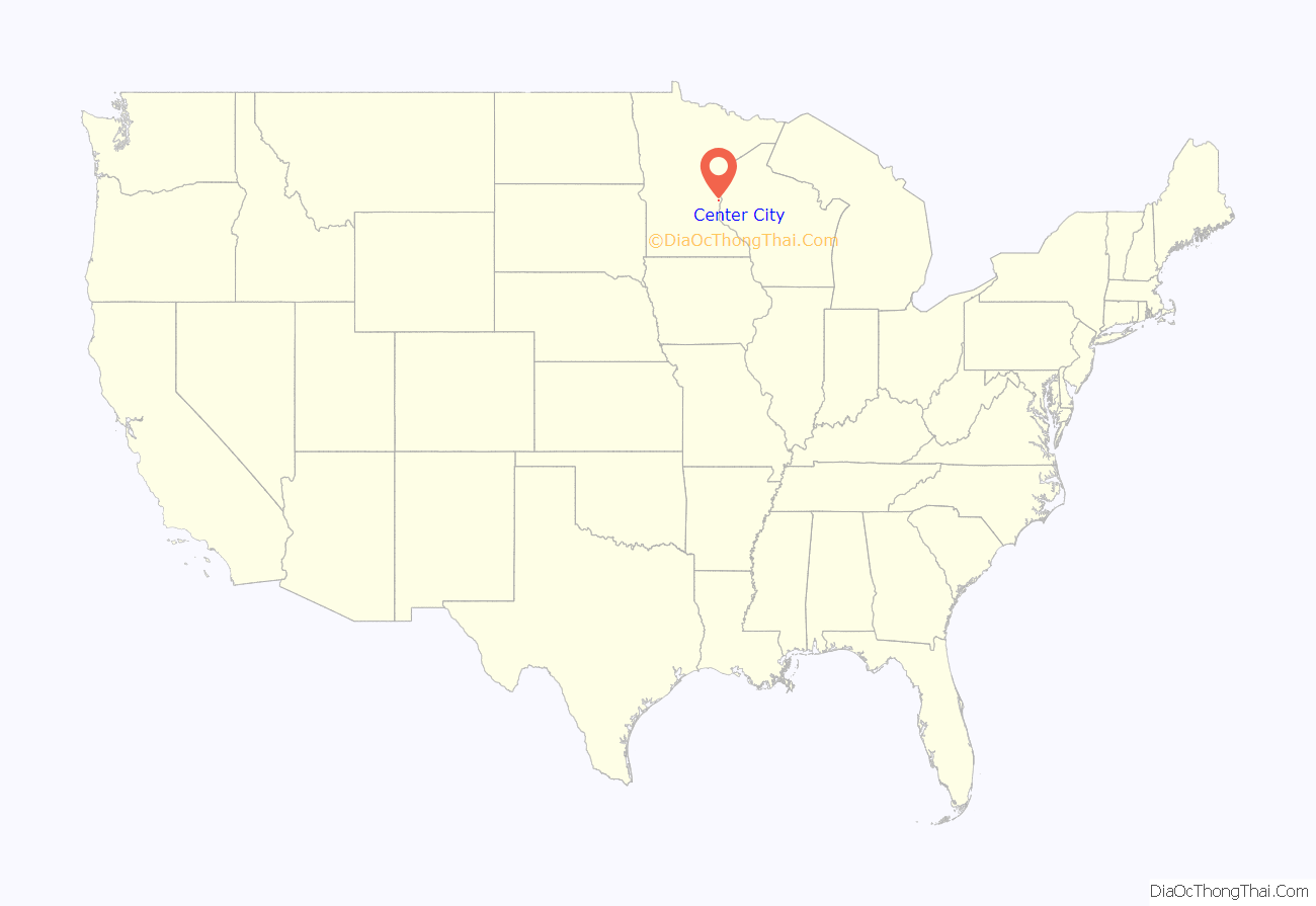
Center City location map. Where is Center City city?
History
Center City was platted in 1857, and named from its location roughly halfway between Chisago City and Taylors Falls. A post office was established as Centre City in 1858, and the name was changed to Center City in 1893.
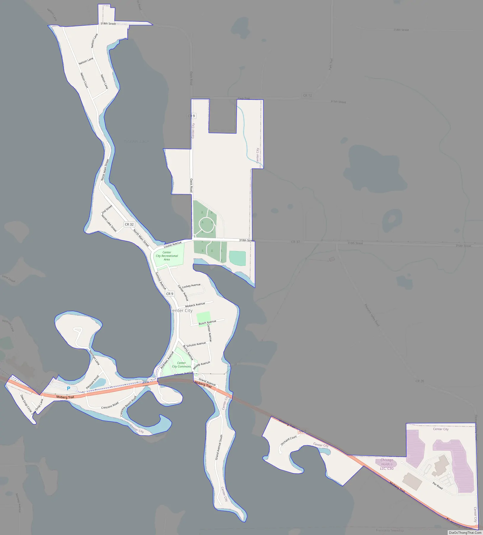
Center City Road Map
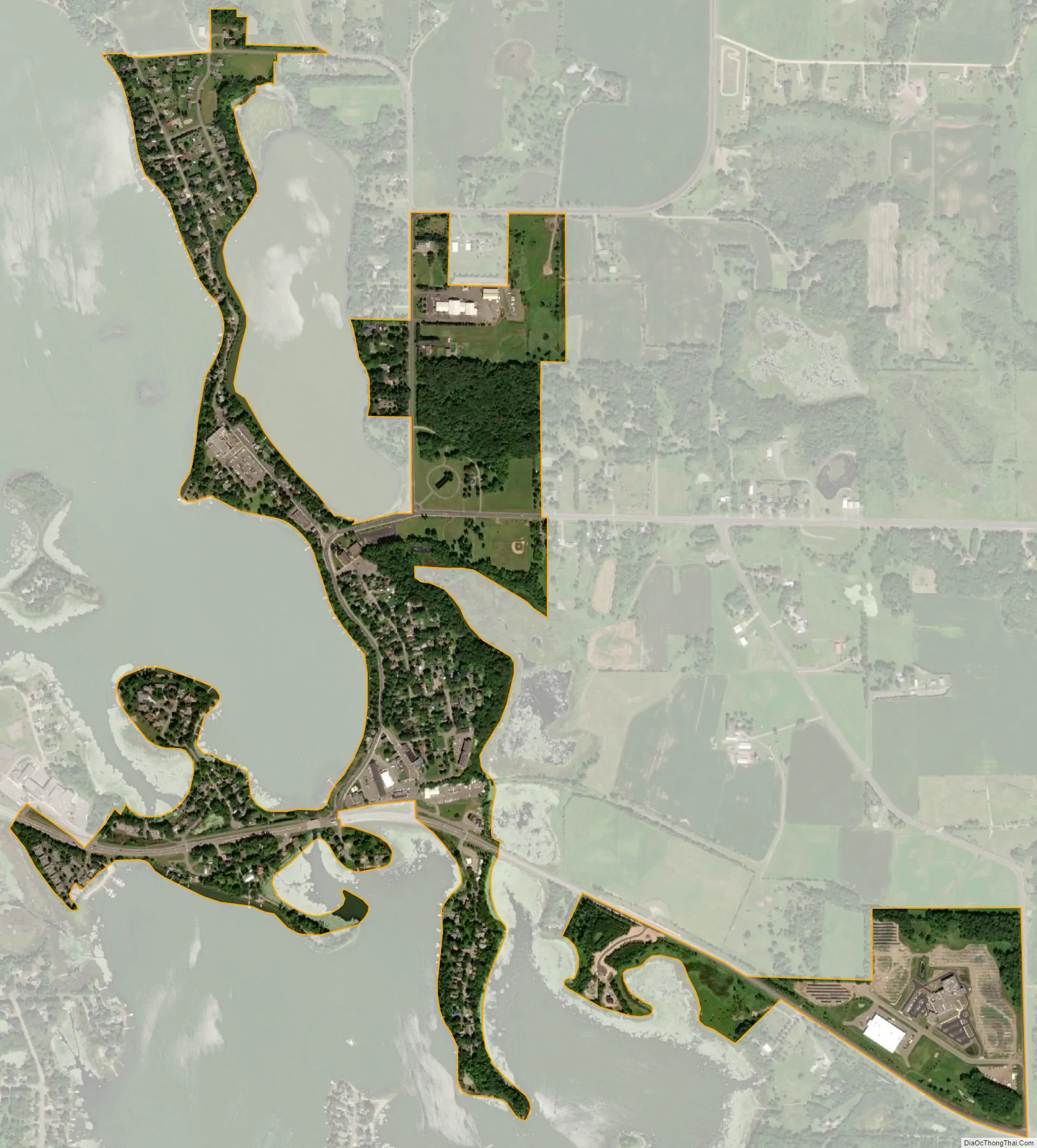
Center City city Satellite Map
Geography
According to the United States Census Bureau, the city has an area of 0.61 square miles (1.58 km), of which 0.59 square miles (1.53 km) is land and 0.02 square miles (0.05 km) is water.
Nearby places include Lindström, Shafer, Taylors Falls, St. Croix Falls, Chisago City, Stacy, Wyoming, North Branch, and Forest Lake.
See also
Map of Minnesota State and its subdivision:- Aitkin
- Anoka
- Becker
- Beltrami
- Benton
- Big Stone
- Blue Earth
- Brown
- Carlton
- Carver
- Cass
- Chippewa
- Chisago
- Clay
- Clearwater
- Cook
- Cottonwood
- Crow Wing
- Dakota
- Dodge
- Douglas
- Faribault
- Fillmore
- Freeborn
- Goodhue
- Grant
- Hennepin
- Houston
- Hubbard
- Isanti
- Itasca
- Jackson
- Kanabec
- Kandiyohi
- Kittson
- Koochiching
- Lac qui Parle
- Lake
- Lake of the Woods
- Lake Superior
- Le Sueur
- Lincoln
- Lyon
- Mahnomen
- Marshall
- Martin
- McLeod
- Meeker
- Mille Lacs
- Morrison
- Mower
- Murray
- Nicollet
- Nobles
- Norman
- Olmsted
- Otter Tail
- Pennington
- Pine
- Pipestone
- Polk
- Pope
- Ramsey
- Red Lake
- Redwood
- Renville
- Rice
- Rock
- Roseau
- Saint Louis
- Scott
- Sherburne
- Sibley
- Stearns
- Steele
- Stevens
- Swift
- Todd
- Traverse
- Wabasha
- Wadena
- Waseca
- Washington
- Watonwan
- Wilkin
- Winona
- Wright
- Yellow Medicine
- Alabama
- Alaska
- Arizona
- Arkansas
- California
- Colorado
- Connecticut
- Delaware
- District of Columbia
- Florida
- Georgia
- Hawaii
- Idaho
- Illinois
- Indiana
- Iowa
- Kansas
- Kentucky
- Louisiana
- Maine
- Maryland
- Massachusetts
- Michigan
- Minnesota
- Mississippi
- Missouri
- Montana
- Nebraska
- Nevada
- New Hampshire
- New Jersey
- New Mexico
- New York
- North Carolina
- North Dakota
- Ohio
- Oklahoma
- Oregon
- Pennsylvania
- Rhode Island
- South Carolina
- South Dakota
- Tennessee
- Texas
- Utah
- Vermont
- Virginia
- Washington
- West Virginia
- Wisconsin
- Wyoming


