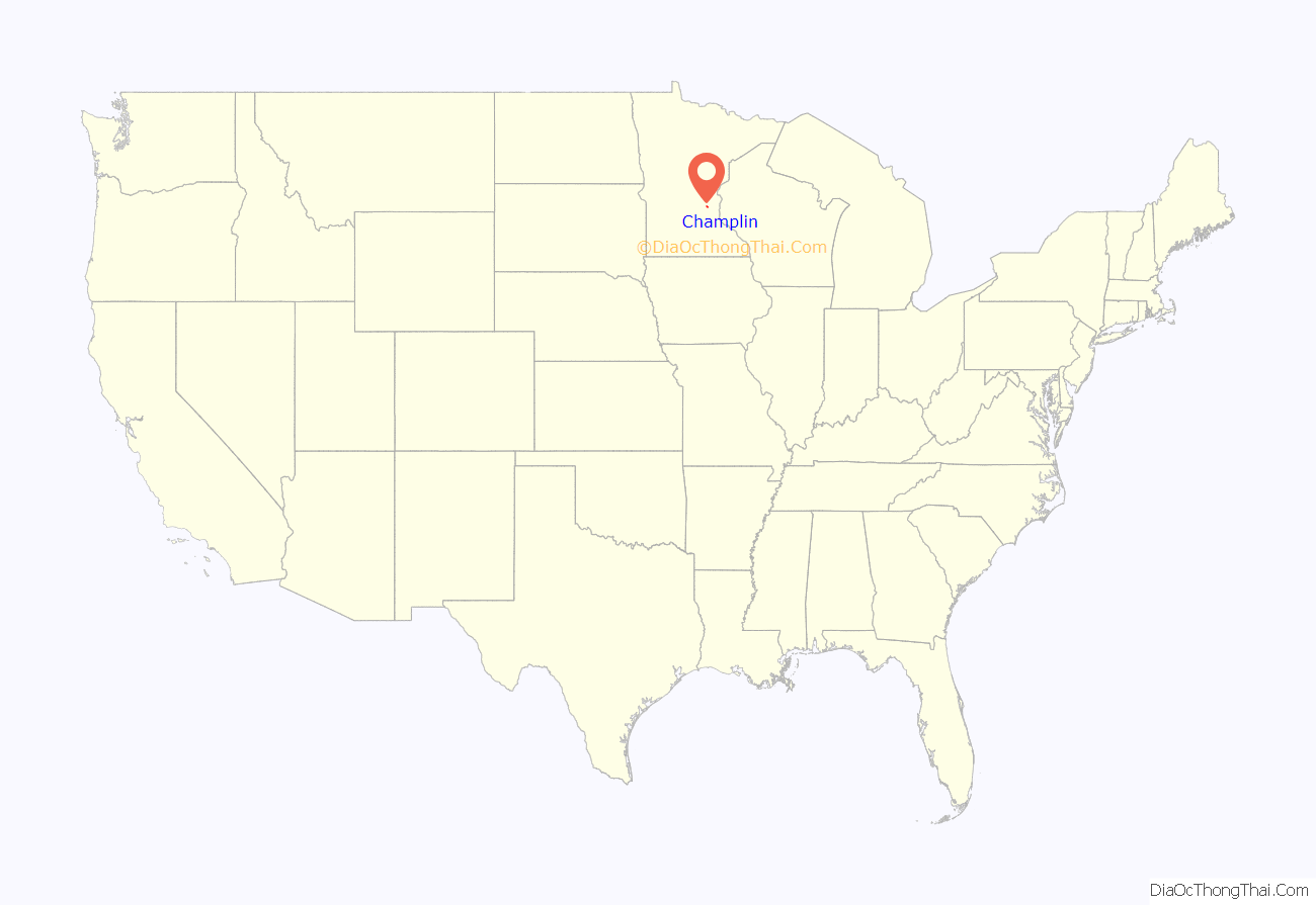
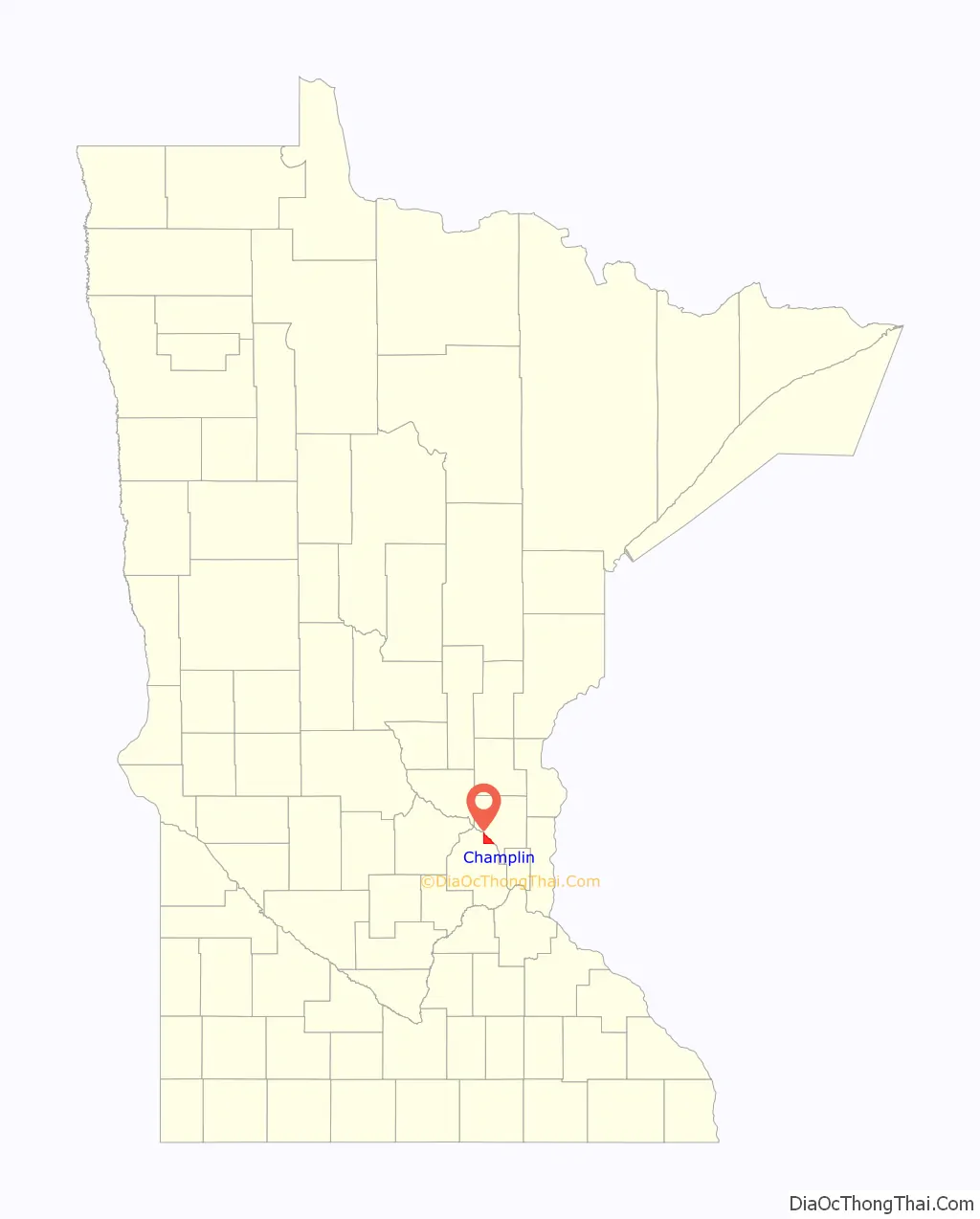
Champlin (/ˈtʃæmplən/ CHAMP-lən) is a city in Hennepin County, Minnesota, United States. The population was 23,919 at the 2020 census. Champlin is a northern suburb of Minneapolis.
U.S. Highway 169 and Hennepin County Road 12 (CR 12) are two of the main routes in Champlin.
| Name: | Champlin city |
|---|---|
| LSAD Code: | 25 |
| LSAD Description: | city (suffix) |
| State: | Minnesota |
| County: | Hennepin County |
| Founded: | 1852 |
| Elevation: | 853 ft (260 m) |
| Total Area: | 8.71 sq mi (22.55 km²) |
| Land Area: | 8.15 sq mi (21.11 km²) |
| Water Area: | 0.56 sq mi (1.44 km²) 6.41% |
| Total Population: | 23,919 |
| Population Density: | 2,934.49/sq mi (1,133.00/km²) |
| ZIP code: | 55316 |
| Area code: | 763 |
| FIPS code: | 2710846 |
| GNISfeature ID: | 0641097 |
Online Interactive Map
Click on ![]() to view map in "full screen" mode.
to view map in "full screen" mode.
Champlin location map. Where is Champlin city?
History
The Champlin area was first settled when Father Louis Hennepin, a Franciscan priest from whom Hennepin County gets its name, Michael Accult, and Peter Dulay were captured by Lakota Indians. An Indian trading post was later established in the area. Charles Miles created the first permanent settlement in what came to be named Marshall Township. In 1859, it was split into two towns, Champlin and Dayton.
Champlin’s name came from U.S. Navy Commodore Stephen Champlin. He was active in the war against England and Canada in 1812, and in the establishment of the Canadian–United States boundary. He died in 1870 in Buffalo, New York.
On August 30, 1853, Stephen Champlin’s daughter, Eliza Ellen Champlin, married John B. Cook, a partner of Minnesota’s Alexander Ramsey. Although Cook was never a resident of Champlin, he was involved in real estate transactions there, and in its incorporation. In 1947, part of the former Champlin Township was incorporated to form the village of Champlin, and on January 2, 1971, as the result of a petitioned order from the Minnesota Municipal Commission, Champlin Township and the village of Champlin consolidated to form the city of Champlin.
Champlin Road Map

Champlin city Satellite Map

Geography
Champlin lies along the Mississippi River, surrounded by the cities of Anoka, Dayton, Brooklyn Park, Maple Grove and Coon Rapids, 18 miles (29 km) northwest of Minneapolis.
According to the United States Census Bureau, the city has a total area of 8.73 square miles (22.61 km), of which 8.17 square miles (21.16 km) is land and 0.56 square miles (1.45 km) is water.
The average elevation is 875 feet (267 m) above sea level, and the Mississippi River is approximately one-eighth of a mile wide throughout Champlin.
See also
Map of Minnesota State and its subdivision:- Aitkin
- Anoka
- Becker
- Beltrami
- Benton
- Big Stone
- Blue Earth
- Brown
- Carlton
- Carver
- Cass
- Chippewa
- Chisago
- Clay
- Clearwater
- Cook
- Cottonwood
- Crow Wing
- Dakota
- Dodge
- Douglas
- Faribault
- Fillmore
- Freeborn
- Goodhue
- Grant
- Hennepin
- Houston
- Hubbard
- Isanti
- Itasca
- Jackson
- Kanabec
- Kandiyohi
- Kittson
- Koochiching
- Lac qui Parle
- Lake
- Lake of the Woods
- Lake Superior
- Le Sueur
- Lincoln
- Lyon
- Mahnomen
- Marshall
- Martin
- McLeod
- Meeker
- Mille Lacs
- Morrison
- Mower
- Murray
- Nicollet
- Nobles
- Norman
- Olmsted
- Otter Tail
- Pennington
- Pine
- Pipestone
- Polk
- Pope
- Ramsey
- Red Lake
- Redwood
- Renville
- Rice
- Rock
- Roseau
- Saint Louis
- Scott
- Sherburne
- Sibley
- Stearns
- Steele
- Stevens
- Swift
- Todd
- Traverse
- Wabasha
- Wadena
- Waseca
- Washington
- Watonwan
- Wilkin
- Winona
- Wright
- Yellow Medicine
- Alabama
- Alaska
- Arizona
- Arkansas
- California
- Colorado
- Connecticut
- Delaware
- District of Columbia
- Florida
- Georgia
- Hawaii
- Idaho
- Illinois
- Indiana
- Iowa
- Kansas
- Kentucky
- Louisiana
- Maine
- Maryland
- Massachusetts
- Michigan
- Minnesota
- Mississippi
- Missouri
- Montana
- Nebraska
- Nevada
- New Hampshire
- New Jersey
- New Mexico
- New York
- North Carolina
- North Dakota
- Ohio
- Oklahoma
- Oregon
- Pennsylvania
- Rhode Island
- South Carolina
- South Dakota
- Tennessee
- Texas
- Utah
- Vermont
- Virginia
- Washington
- West Virginia
- Wisconsin
- Wyoming


