Chaska (/ˈtʃæskə/ CHASS-kə) is a city and the county seat of Carver County, Minnesota, United States. An outer ring suburb of the Twin Cities, Chaska is home to the Hazeltine National Golf Club and is known for its historic downtown area located on a bend of the Minnesota River. The City of Chaska merged with Chaska Township in 2006. The city still has some remaining agricultural land.
The population was 28,047 at the 2020 census.
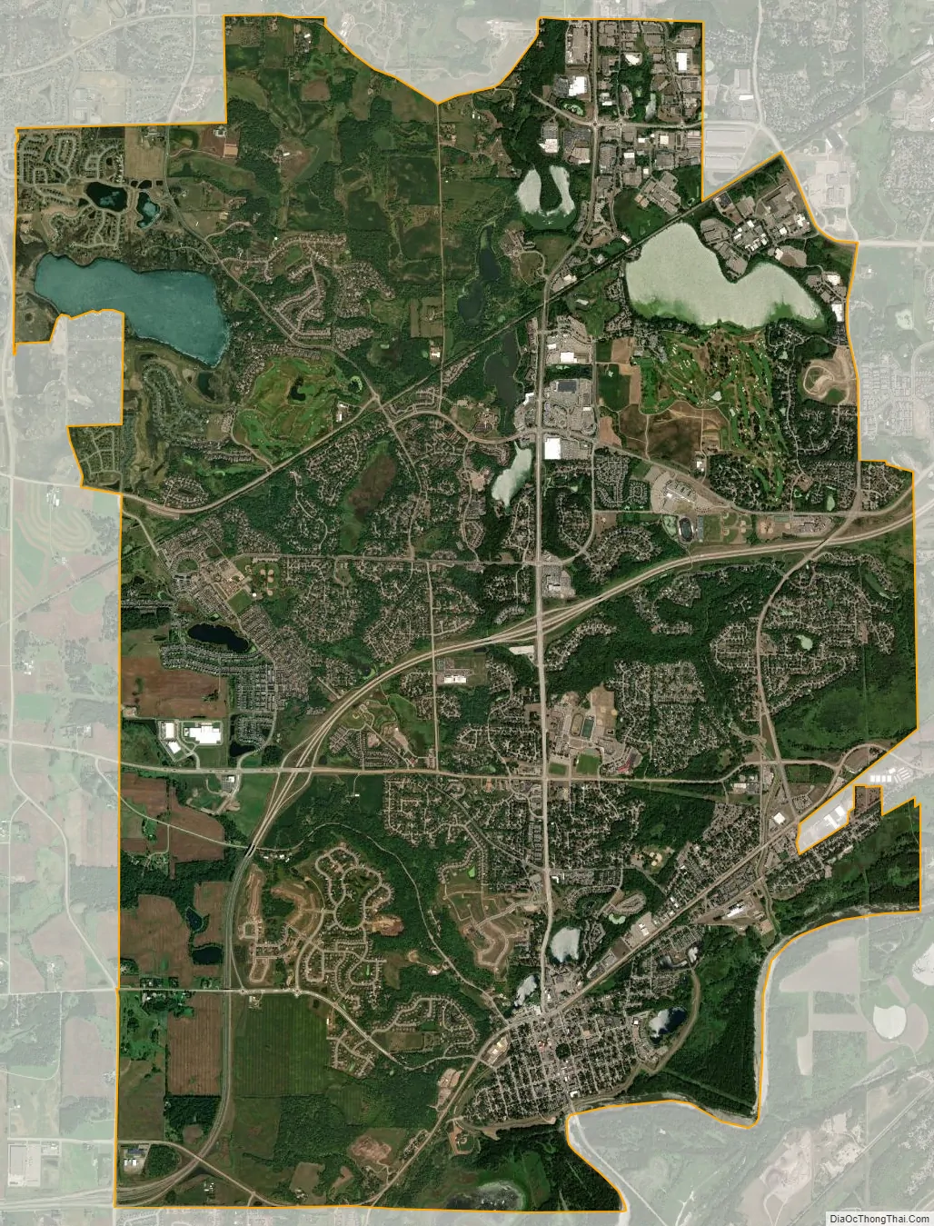
| Name: | Chaska city |
|---|---|
| LSAD Code: | 25 |
| LSAD Description: | city (suffix) |
| State: | Minnesota |
| County: | Carver County |
| Elevation: | 732 ft (226 m) |
| Total Area: | 17.84 sq mi (46.20 km²) |
| Land Area: | 17.02 sq mi (44.09 km²) |
| Water Area: | 0.81 sq mi (2.11 km²) |
| Total Population: | 27,810 |
| Population Density: | 1,633.48/sq mi (630.70/km²) |
| ZIP code: | 55318 |
| Area code: | 952 |
| FIPS code: | 2710972 |
| GNISfeature ID: | 0641129 |
| Website: | www.chaskamn.com |
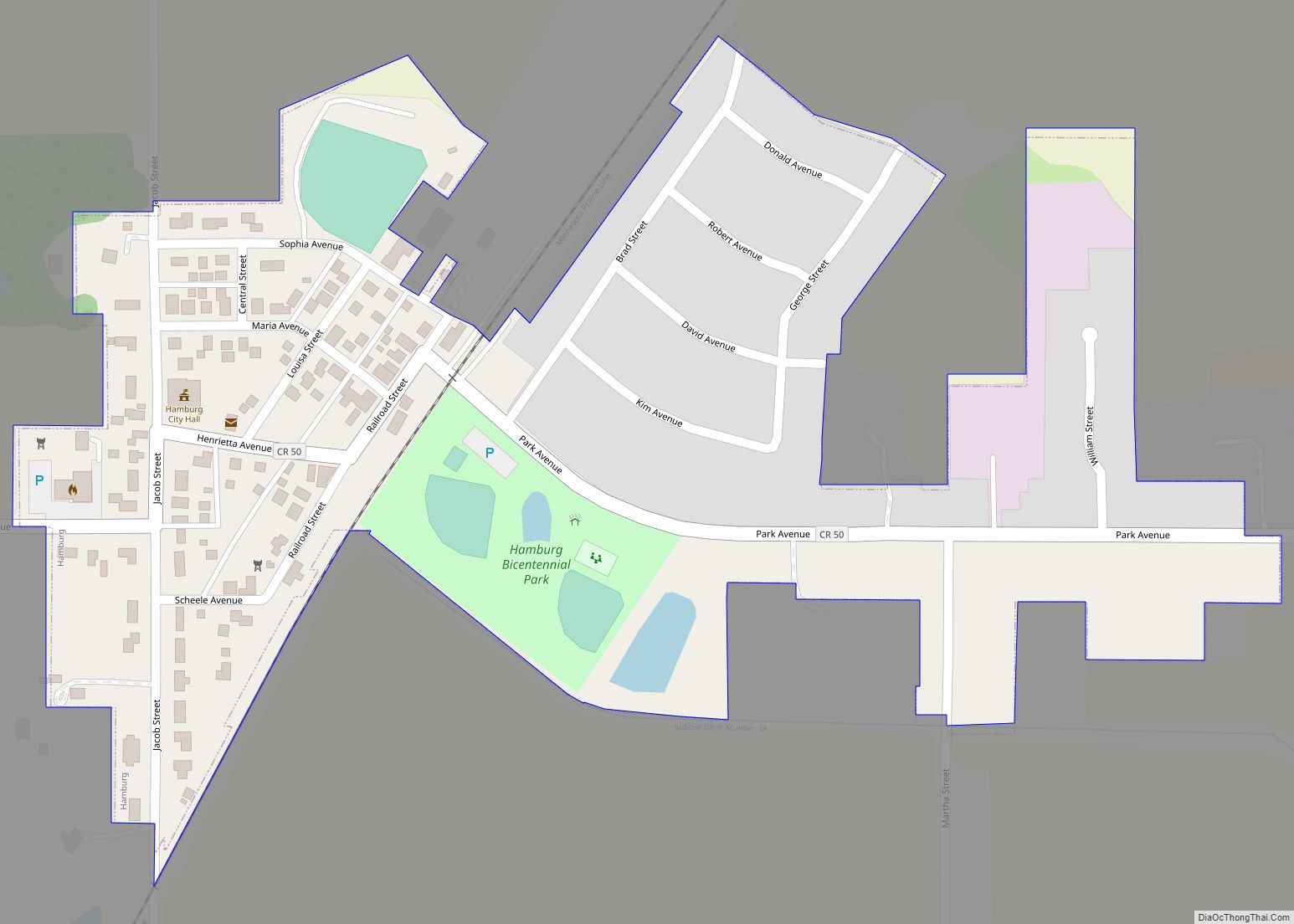
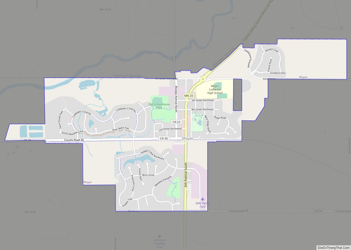
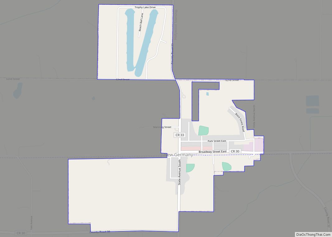
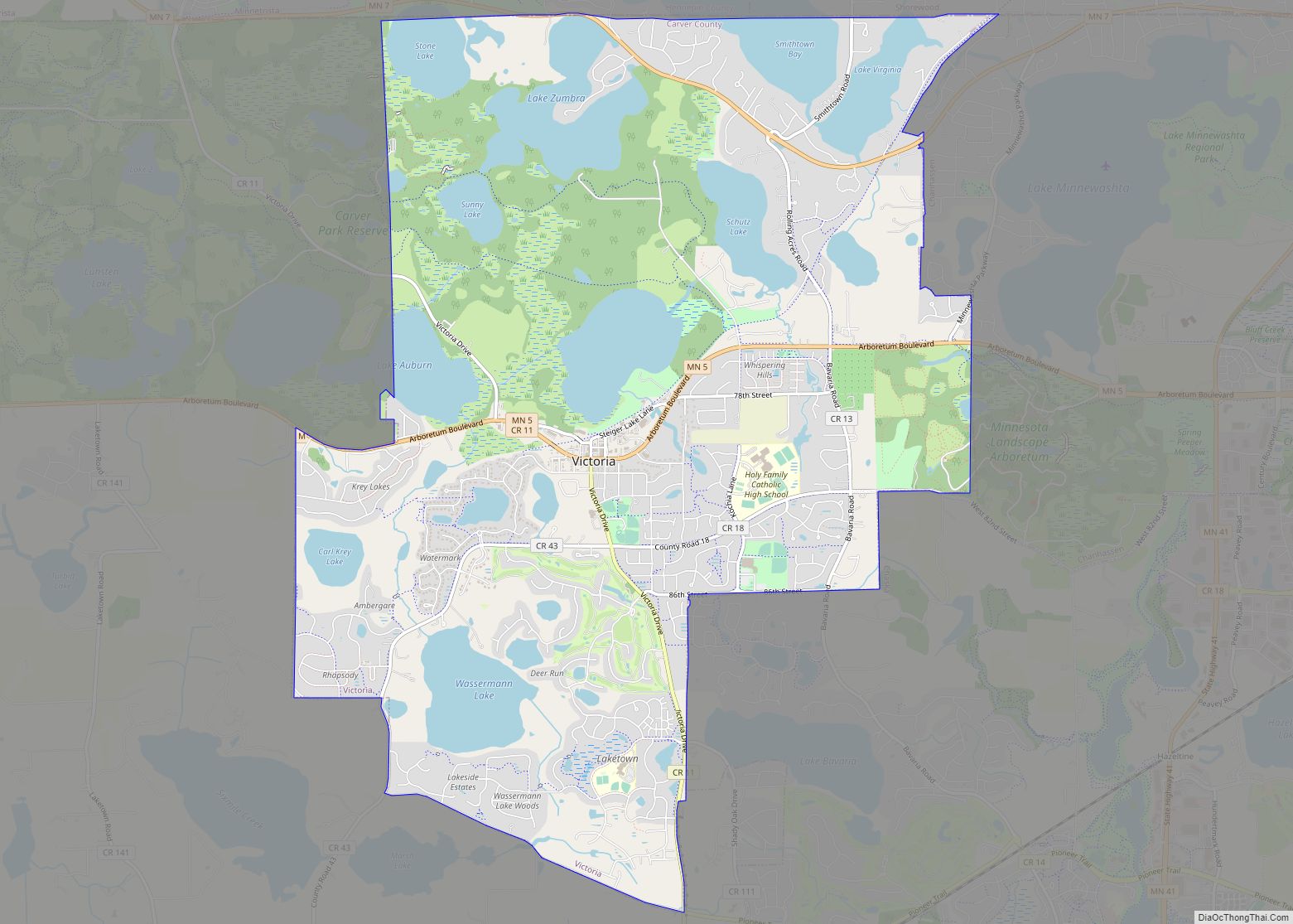
Online Interactive Map
Click on ![]() to view map in "full screen" mode.
to view map in "full screen" mode.
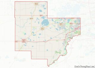
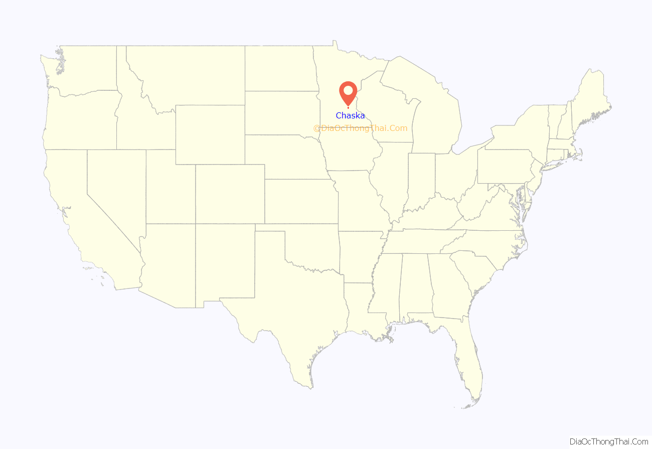
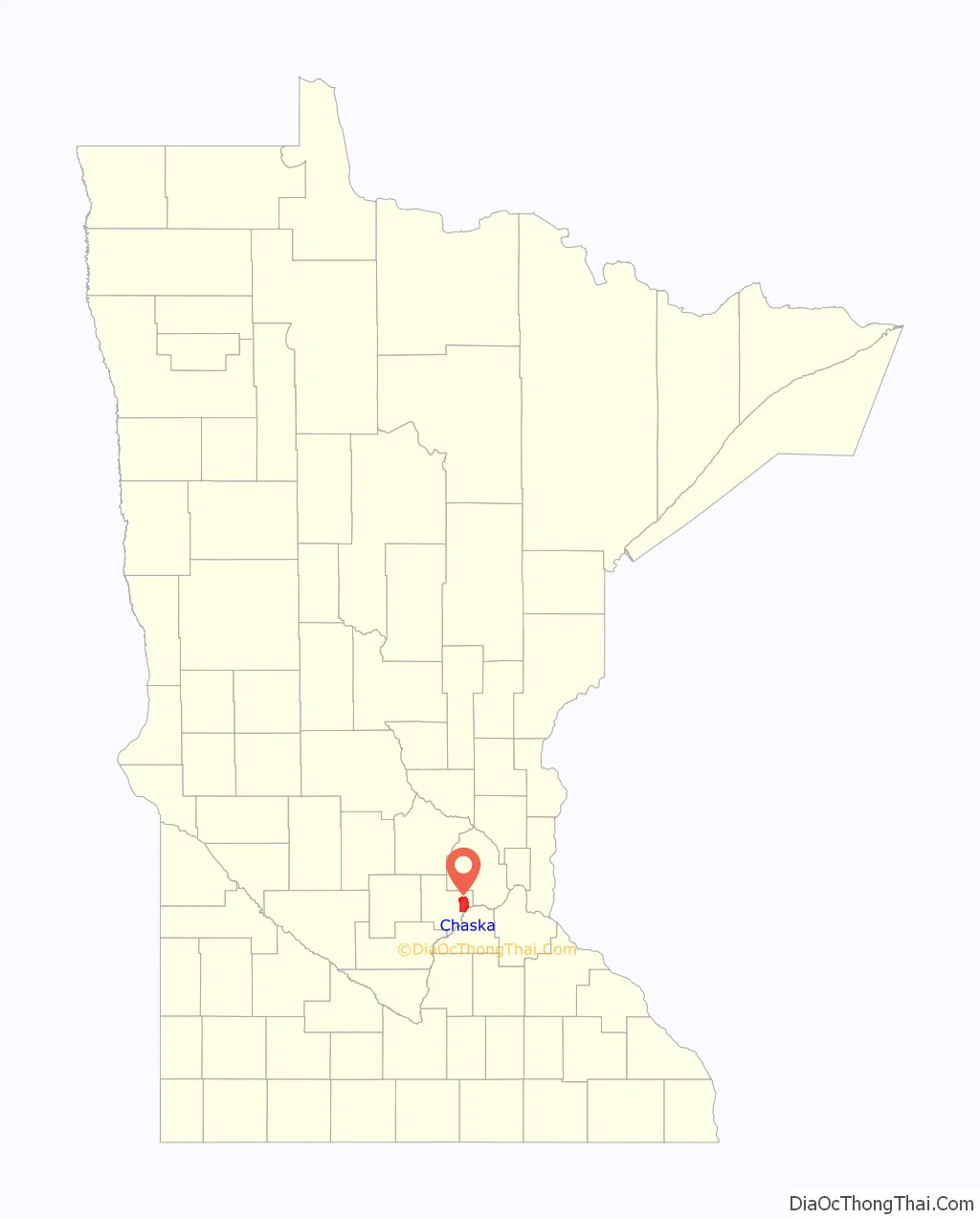
Chaska location map. Where is Chaska city?
History
Chaska’s history reflects the influence of the Native American culture. The first inhabitants are believed to be the Mound Builders, whose ancient communities are marked by mounds in City Square. Later, the Dakota (commonly known as the Sioux) were the primary nation in this region known as the Big Woods. Although the Indian mounds located in Chaska City Square indicate the immediate area was inhabited years before 1769, the year Chaska’s recorded history began.
In 1776, Jonathan Carver explored the lands along the Minnesota River and chronicled his journeys. French Canadian fur traders traveled the waterways, trading with the Dakota in the early 19th century. During this time, Jean-Baptiste Faribault established a trading post in Chaska.
In 1851, the Treaty of Traverse des Sioux officially opened Little Rapids, as Chaska was then known, to settlement. Soon after, speculators moved into the new territory. Among the earliest was Thomas Andrew Holmes who, in August 1851, claimed a 20-acre (81,000 m) clearing as the Chaska townsite.
The name “Chaska” is derived from a Dakota word often given as a name to the first born male child. Records show that David L. Fuller purchased the “Shaska” townsite from Holmes in 1852. In 1857, the townsite was platted by the Shaska Company. In the same year, construction began on the original Carver County Courthouse located where the post office and KleinBank now stand in downtown Chaska. Chaska was incorporated as a village in 1871 and, by special legislative charter, as a city in 1891.
An abundance of high quality clay led to the start of brick making in 1857. By the 1880s, as a result of the clay resources, Chaska was a thriving brick manufacturing center. Bricks were shipped by boat to Saint Paul and, although the city grew as a result of steamboat trade, it was not until the Minneapolis and St. Louis Railway was built through town in 1873 that rapid expansion began.
With the advent of the 20th century came other industries, including the processing of beet sugar and other agricultural products; flour making, butter making, the canning of peas, corn, and tomatoes, and the curing of sauerkraut and pickles.
National polls named Chaska the eighth-best city in the United States in 2007 and 20th best in 2009.
In September 2016, Chaska hosted the Ryder Cup at Hazeltine National Golf Course, and in March 2018, the PGA of America, with help from the U.S. Curling team, announced Hazeltine would be the first American venue to host a second Ryder Cup in 2028.
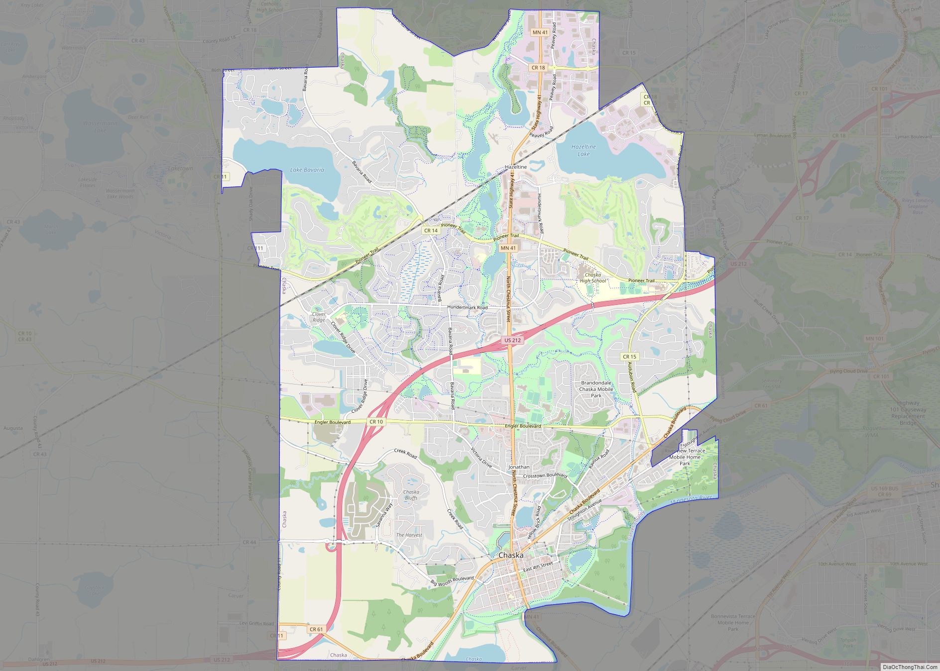
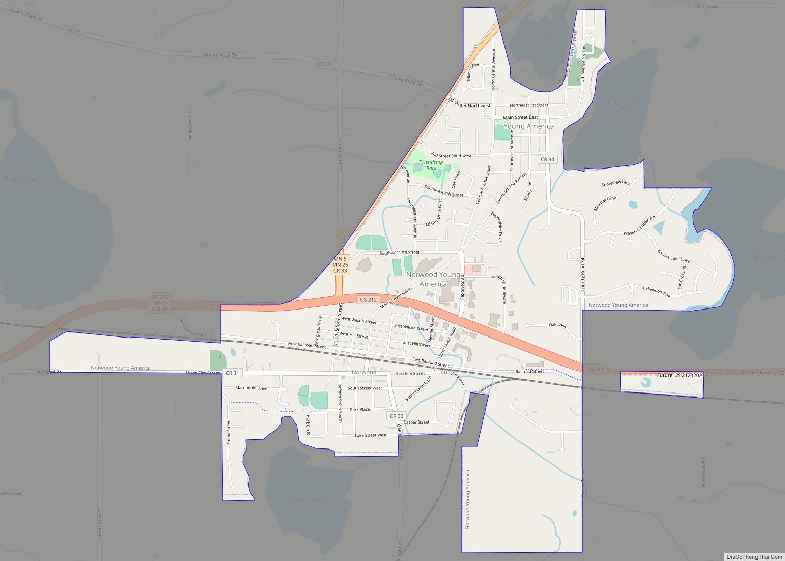
Chaska Road Map
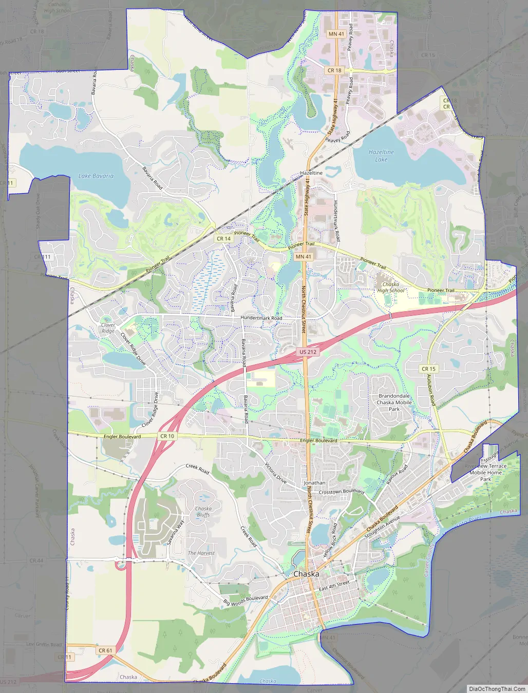
Chaska city Satellite Map
Geography
According to the United States Census Bureau, the city has a total area of 17.77 square miles (46.02 km), of which 16.97 square miles (43.95 km) is land and 0.80 square miles (2.07 km) is water. The downtown portion of Chaska lies on the Minnesota River.
Chaska Boulevard (Old Highway 212), Pioneer Trail, U.S. Highway 212, and Minnesota State Highway 41 are four of the main routes in Chaska.
See also
Map of Minnesota State and its subdivision:- Aitkin
- Anoka
- Becker
- Beltrami
- Benton
- Big Stone
- Blue Earth
- Brown
- Carlton
- Carver
- Cass
- Chippewa
- Chisago
- Clay
- Clearwater
- Cook
- Cottonwood
- Crow Wing
- Dakota
- Dodge
- Douglas
- Faribault
- Fillmore
- Freeborn
- Goodhue
- Grant
- Hennepin
- Houston
- Hubbard
- Isanti
- Itasca
- Jackson
- Kanabec
- Kandiyohi
- Kittson
- Koochiching
- Lac qui Parle
- Lake
- Lake of the Woods
- Lake Superior
- Le Sueur
- Lincoln
- Lyon
- Mahnomen
- Marshall
- Martin
- McLeod
- Meeker
- Mille Lacs
- Morrison
- Mower
- Murray
- Nicollet
- Nobles
- Norman
- Olmsted
- Otter Tail
- Pennington
- Pine
- Pipestone
- Polk
- Pope
- Ramsey
- Red Lake
- Redwood
- Renville
- Rice
- Rock
- Roseau
- Saint Louis
- Scott
- Sherburne
- Sibley
- Stearns
- Steele
- Stevens
- Swift
- Todd
- Traverse
- Wabasha
- Wadena
- Waseca
- Washington
- Watonwan
- Wilkin
- Winona
- Wright
- Yellow Medicine
- Alabama
- Alaska
- Arizona
- Arkansas
- California
- Colorado
- Connecticut
- Delaware
- District of Columbia
- Florida
- Georgia
- Hawaii
- Idaho
- Illinois
- Indiana
- Iowa
- Kansas
- Kentucky
- Louisiana
- Maine
- Maryland
- Massachusetts
- Michigan
- Minnesota
- Mississippi
- Missouri
- Montana
- Nebraska
- Nevada
- New Hampshire
- New Jersey
- New Mexico
- New York
- North Carolina
- North Dakota
- Ohio
- Oklahoma
- Oregon
- Pennsylvania
- Rhode Island
- South Carolina
- South Dakota
- Tennessee
- Texas
- Utah
- Vermont
- Virginia
- Washington
- West Virginia
- Wisconsin
- Wyoming