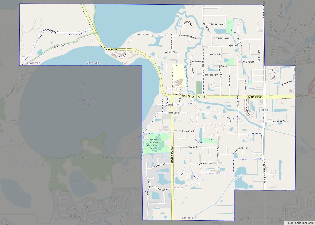
Centerville is a city in Anoka County, Minnesota, United States. The population was 3,792 at the 2010 census.
| Name: | Centerville city |
|---|---|
| LSAD Code: | 25 |
| LSAD Description: | city (suffix) |
| State: | Minnesota |
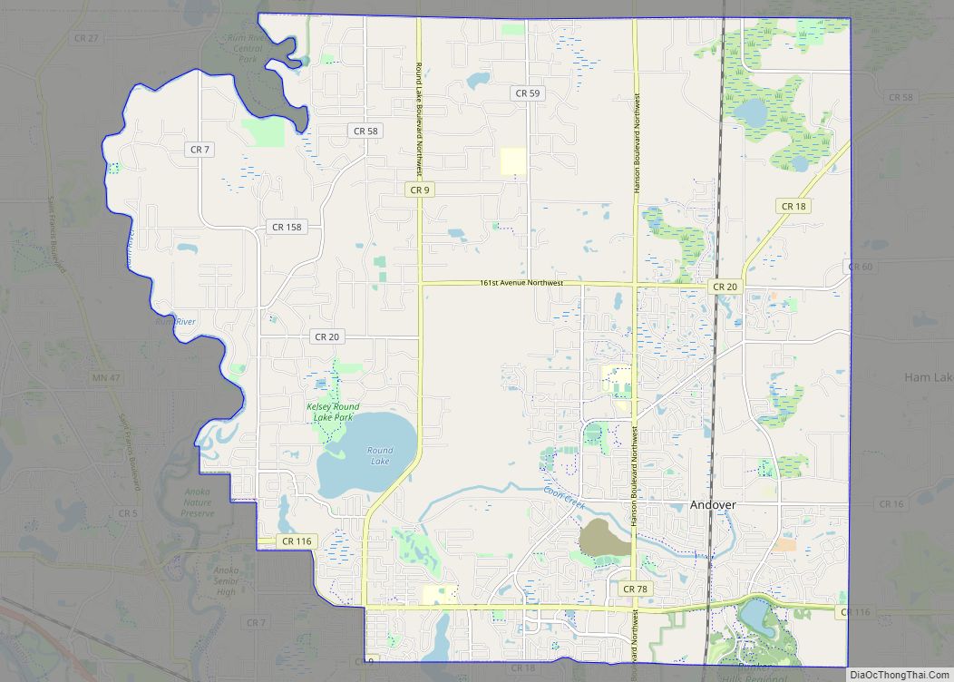
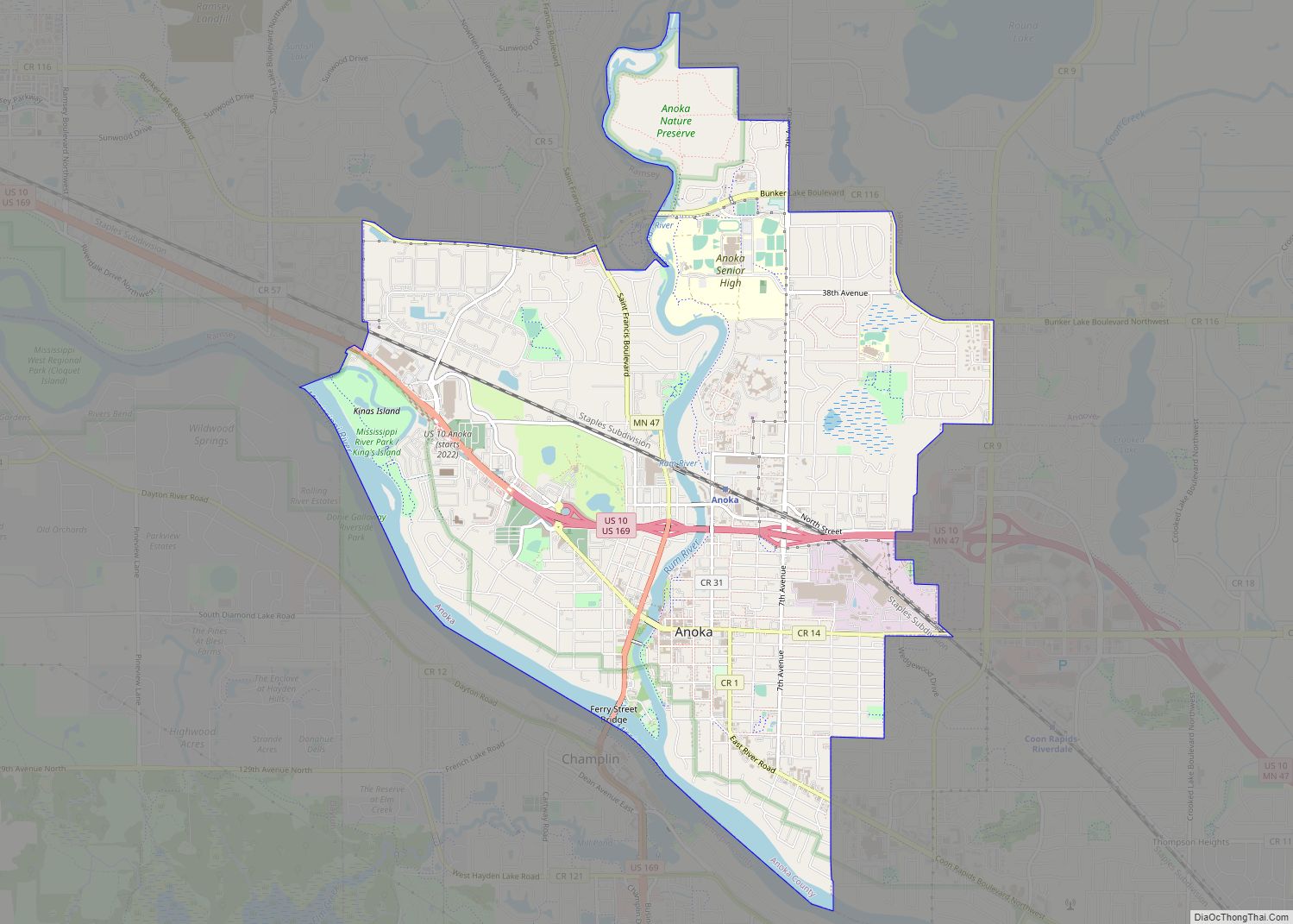
| County: | Anoka County |
| Incorporated: | September 27, 1910 |
| Elevation: | 909 ft (277 m) |
| Total Area: | 2.43 sq mi (6.28 km²) |
| Land Area: | 2.13 sq mi (5.50 km²) |
| Water Area: | 0.30 sq mi (0.78 km²) |
| Total Population: | 3,896 |
| Population Density: | 1,833.41/sq mi (707.79/km²) |
| ZIP code: | 55038 |
| Area code: | 651 |
| FIPS code: | 2710648 |
| GNISfeature ID: | 2393784 |
| Website: | www.centervillemn.com |
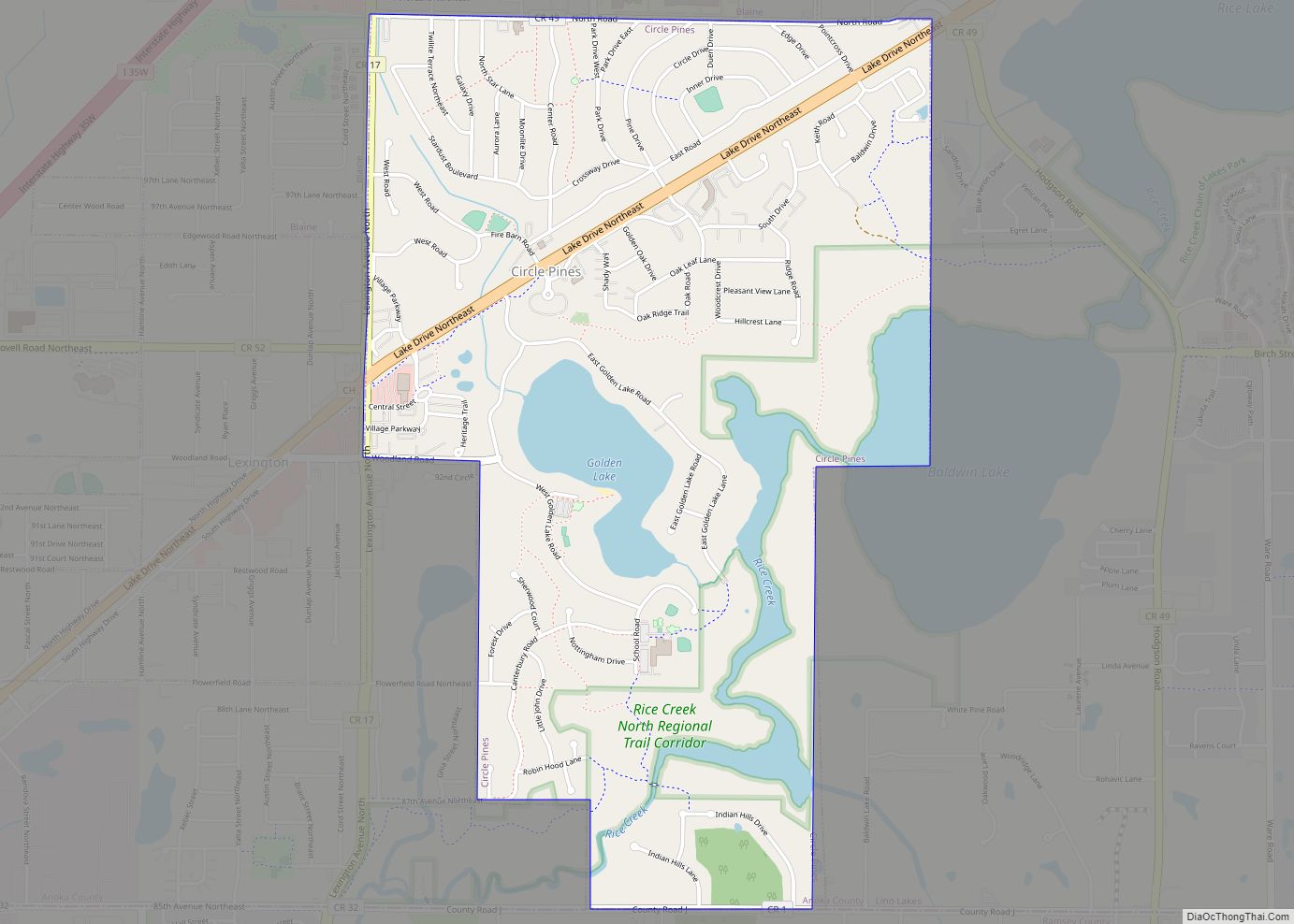
Online Interactive Map
Click on ![]() to view map in "full screen" mode.
to view map in "full screen" mode.
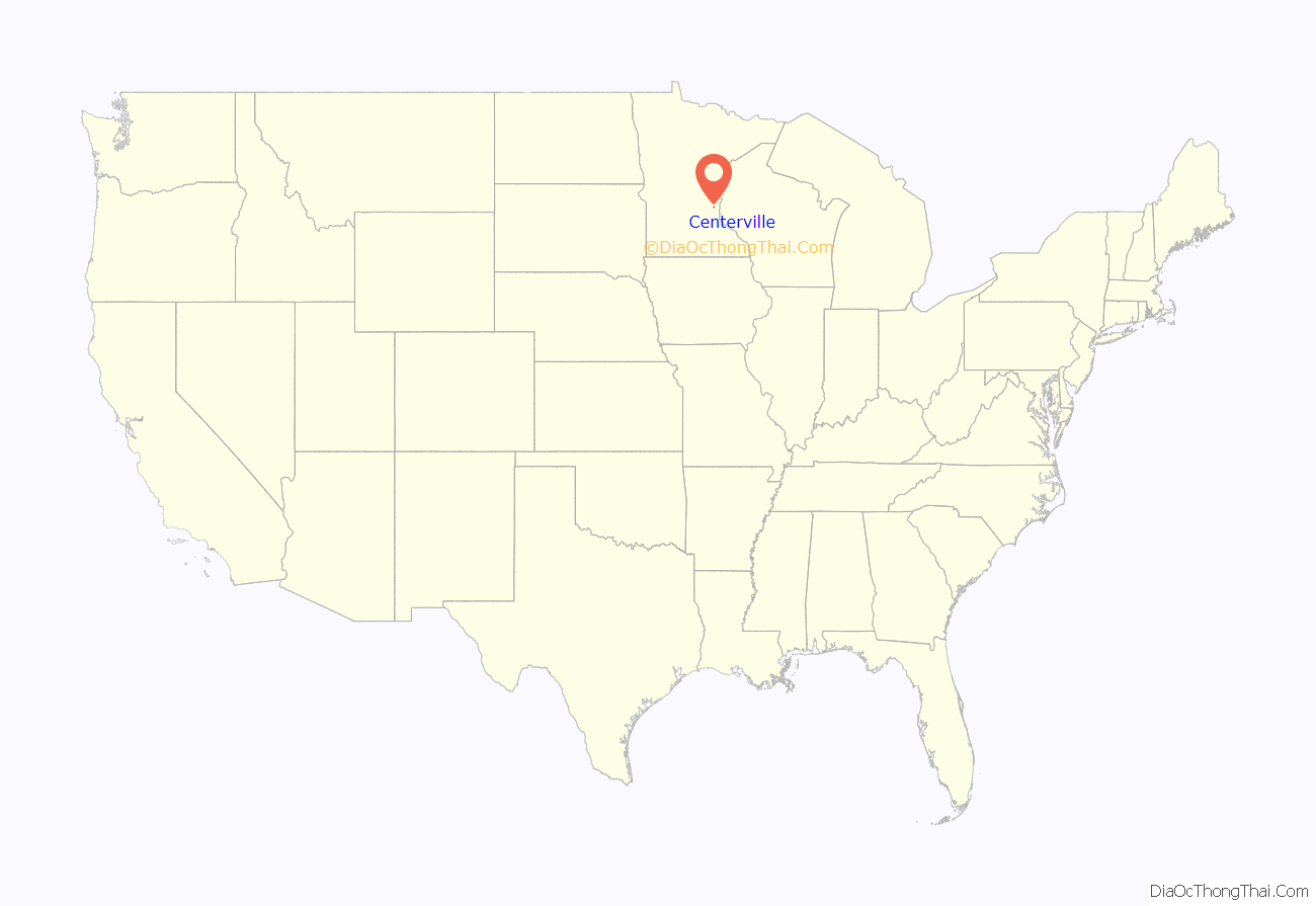
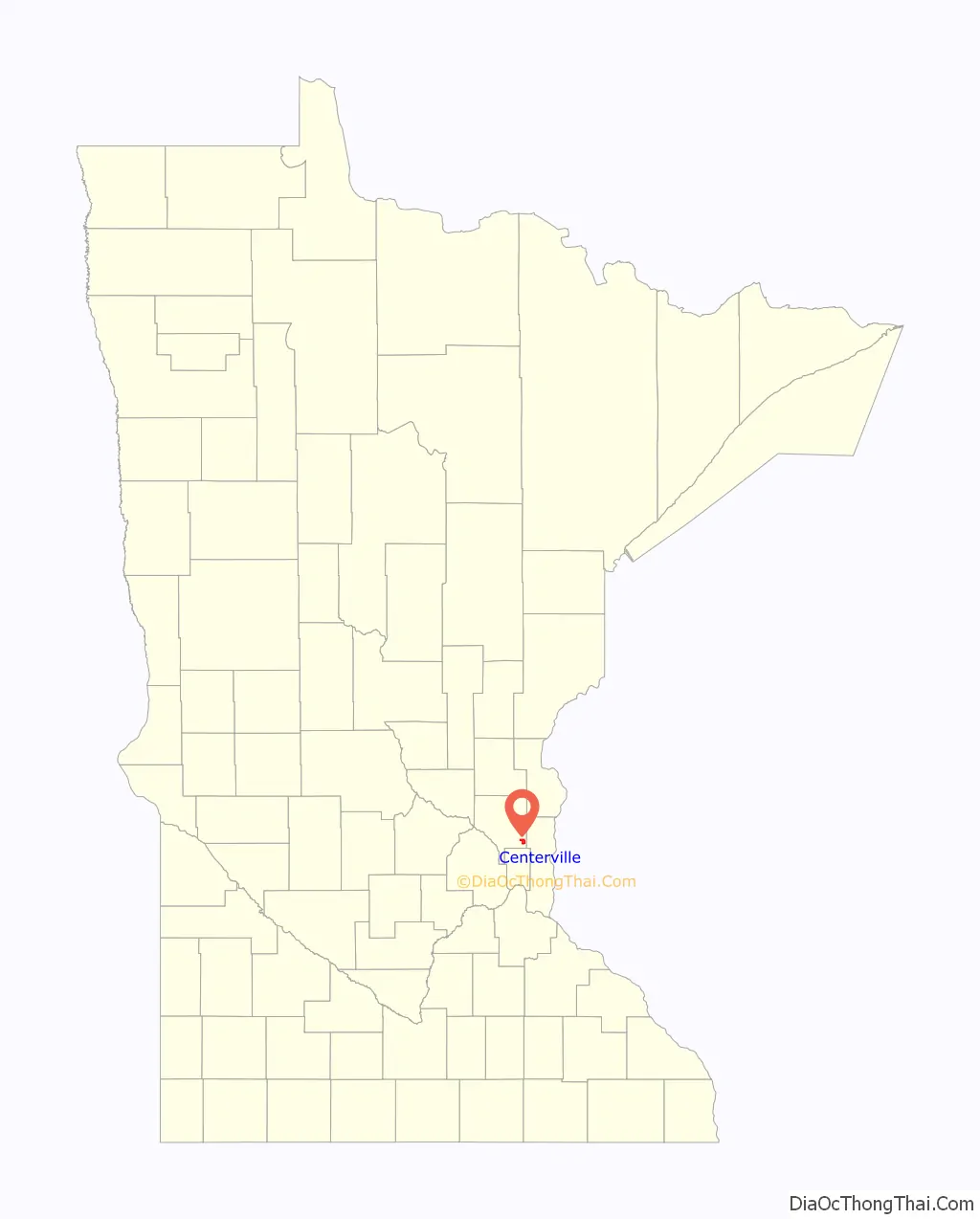
Centerville location map. Where is Centerville city?
History
Centerville was established in 1857. It was named for its location in relation to Saint Paul, the Mississippi River at Anoka, and the Saint Croix River at Stillwater.
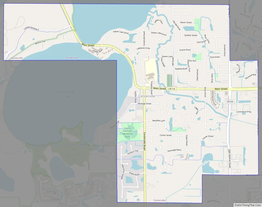
Centerville Road Map
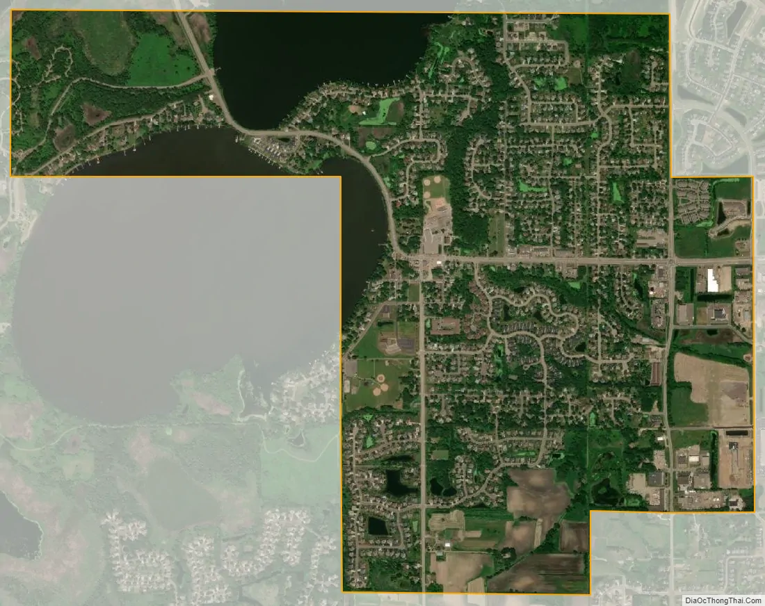
Centerville city Satellite Map
Geography
According to the United States Census Bureau, the city has a total area of 2.41 square miles (6.24 km), of which 2.13 square miles (5.52 km) is land and 0.28 square miles (0.73 km) is water.
Main Street / County Road 14 serves as a main route in the community. Interstate 35E is nearby.
Centerville is completely surrounded by the city of Lino Lakes.
See also
Map of Minnesota State and its subdivision:- Aitkin
- Anoka
- Becker
- Beltrami
- Benton
- Big Stone
- Blue Earth
- Brown
- Carlton
- Carver
- Cass
- Chippewa
- Chisago
- Clay
- Clearwater
- Cook
- Cottonwood
- Crow Wing
- Dakota
- Dodge
- Douglas
- Faribault
- Fillmore
- Freeborn
- Goodhue
- Grant
- Hennepin
- Houston
- Hubbard
- Isanti
- Itasca
- Jackson
- Kanabec
- Kandiyohi
- Kittson
- Koochiching
- Lac qui Parle
- Lake
- Lake of the Woods
- Lake Superior
- Le Sueur
- Lincoln
- Lyon
- Mahnomen
- Marshall
- Martin
- McLeod
- Meeker
- Mille Lacs
- Morrison
- Mower
- Murray
- Nicollet
- Nobles
- Norman
- Olmsted
- Otter Tail
- Pennington
- Pine
- Pipestone
- Polk
- Pope
- Ramsey
- Red Lake
- Redwood
- Renville
- Rice
- Rock
- Roseau
- Saint Louis
- Scott
- Sherburne
- Sibley
- Stearns
- Steele
- Stevens
- Swift
- Todd
- Traverse
- Wabasha
- Wadena
- Waseca
- Washington
- Watonwan
- Wilkin
- Winona
- Wright
- Yellow Medicine
- Alabama
- Alaska
- Arizona
- Arkansas
- California
- Colorado
- Connecticut
- Delaware
- District of Columbia
- Florida
- Georgia
- Hawaii
- Idaho
- Illinois
- Indiana
- Iowa
- Kansas
- Kentucky
- Louisiana
- Maine
- Maryland
- Massachusetts
- Michigan
- Minnesota
- Mississippi
- Missouri
- Montana
- Nebraska
- Nevada
- New Hampshire
- New Jersey
- New Mexico
- New York
- North Carolina
- North Dakota
- Ohio
- Oklahoma
- Oregon
- Pennsylvania
- Rhode Island
- South Carolina
- South Dakota
- Tennessee
- Texas
- Utah
- Vermont
- Virginia
- Washington
- West Virginia
- Wisconsin
- Wyoming