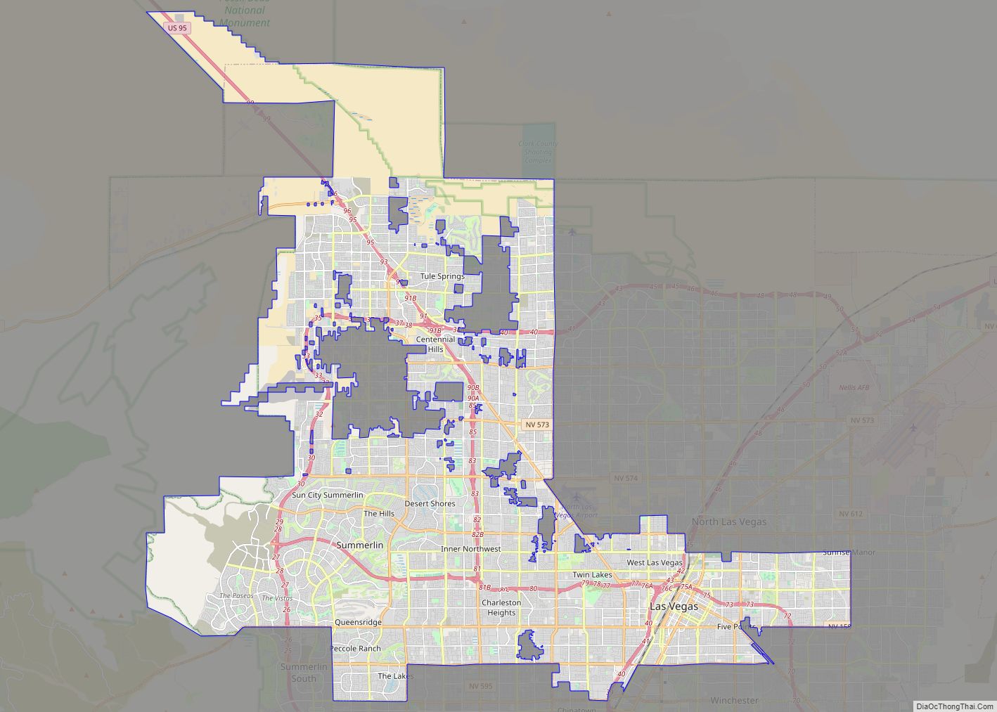
Las Vegas (US: /lɑːsˈveɪɡəs/; Spanish for “The Meadows”), often known simply as Vegas, is the 25th-most populous city in the United States, the most populous city in the state of Nevada, and the county seat of Clark County. The Las Vegas Valley metropolitan area is the largest within the greater Mojave Desert, and 2nd-largest in ... Read more
Nevada Cities and Places
Henderson is a city in Clark County, Nevada, United States, about 16 miles (26 km) southeast of downtown Las Vegas. It is the second largest city in Nevada, after Las Vegas, with an estimated population of 320,189 in 2019. The city is part of the Las Vegas Valley. Henderson occupies the southeastern end of the valley, ... Read more
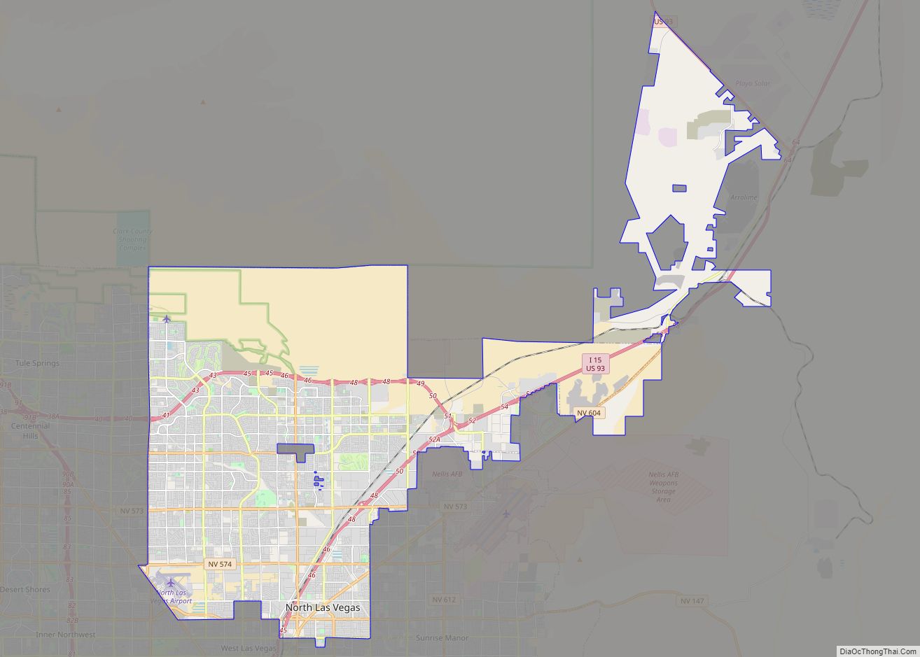
North Las Vegas is a suburban city in Clark County, Nevada, United States, in the Las Vegas Valley. As of the 2010 census it had a population of 216,961, with an estimated population of 251,974 in 2019. The city was incorporated on May 1, 1946. It is the fourth largest city in the state of ... Read more
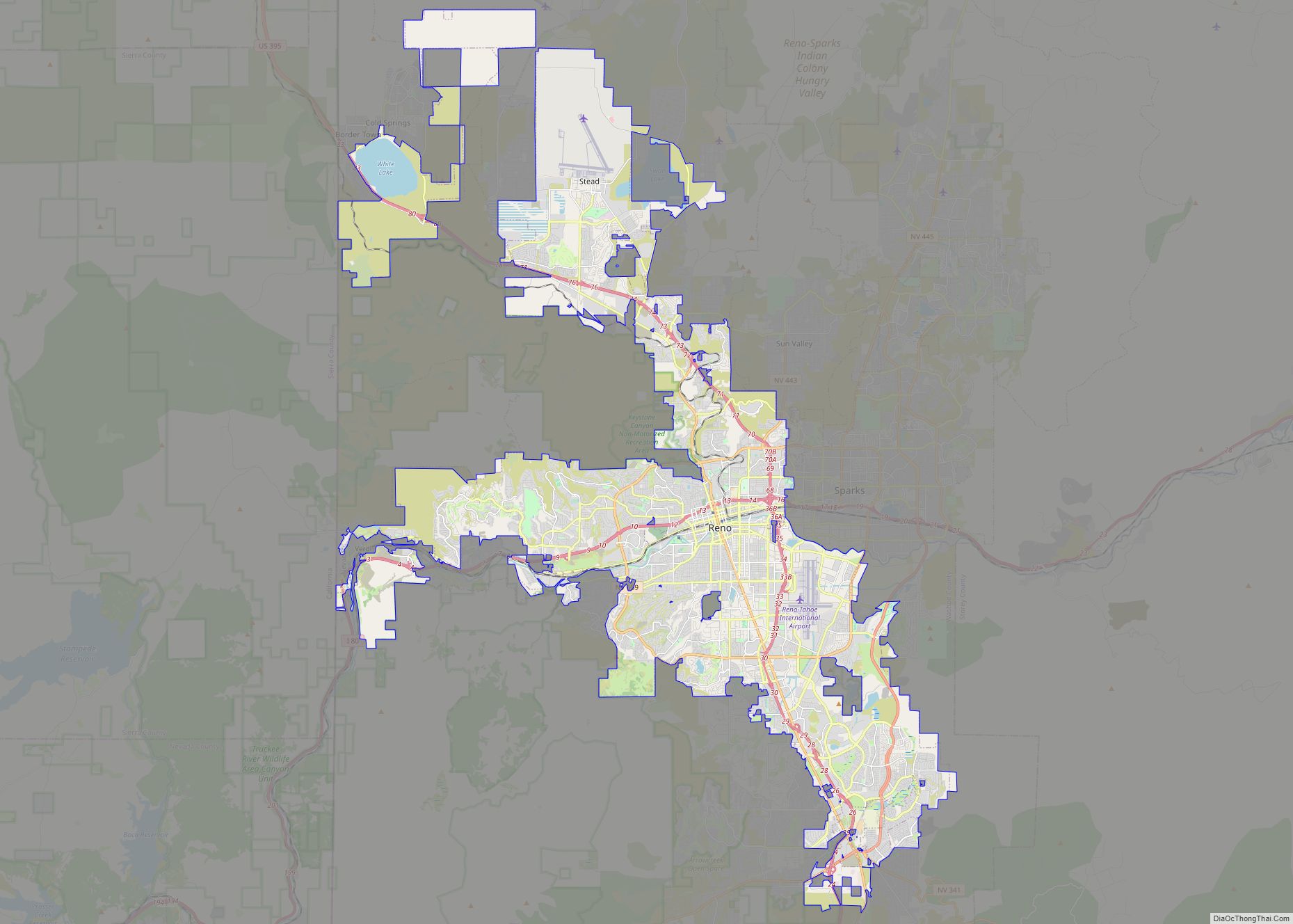
Reno (/ˈriːnoʊ/ REE-noh) is a city in the northwest section of the U.S. state of Nevada, along the Nevada-California border, about 22 miles (35 km) north from Lake Tahoe, known as “The Biggest Little City in the World”. Known for its casino and tourism industry, Reno is the county seat and largest city of Washoe County ... Read more
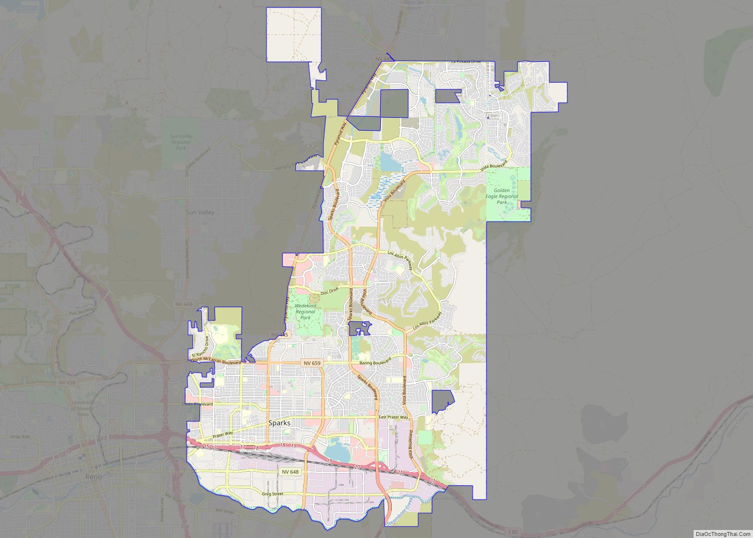
Sparks is a city in Washoe County, Nevada, United States. It was founded in 1904, incorporated on March 15, 1905, and is located just east of Reno. The 2020 U.S. Census counted 108,445 residents in the city. It is the fifth most populous city in Nevada. It is named after John Sparks, Nevada Governor (1903–1908), ... Read more
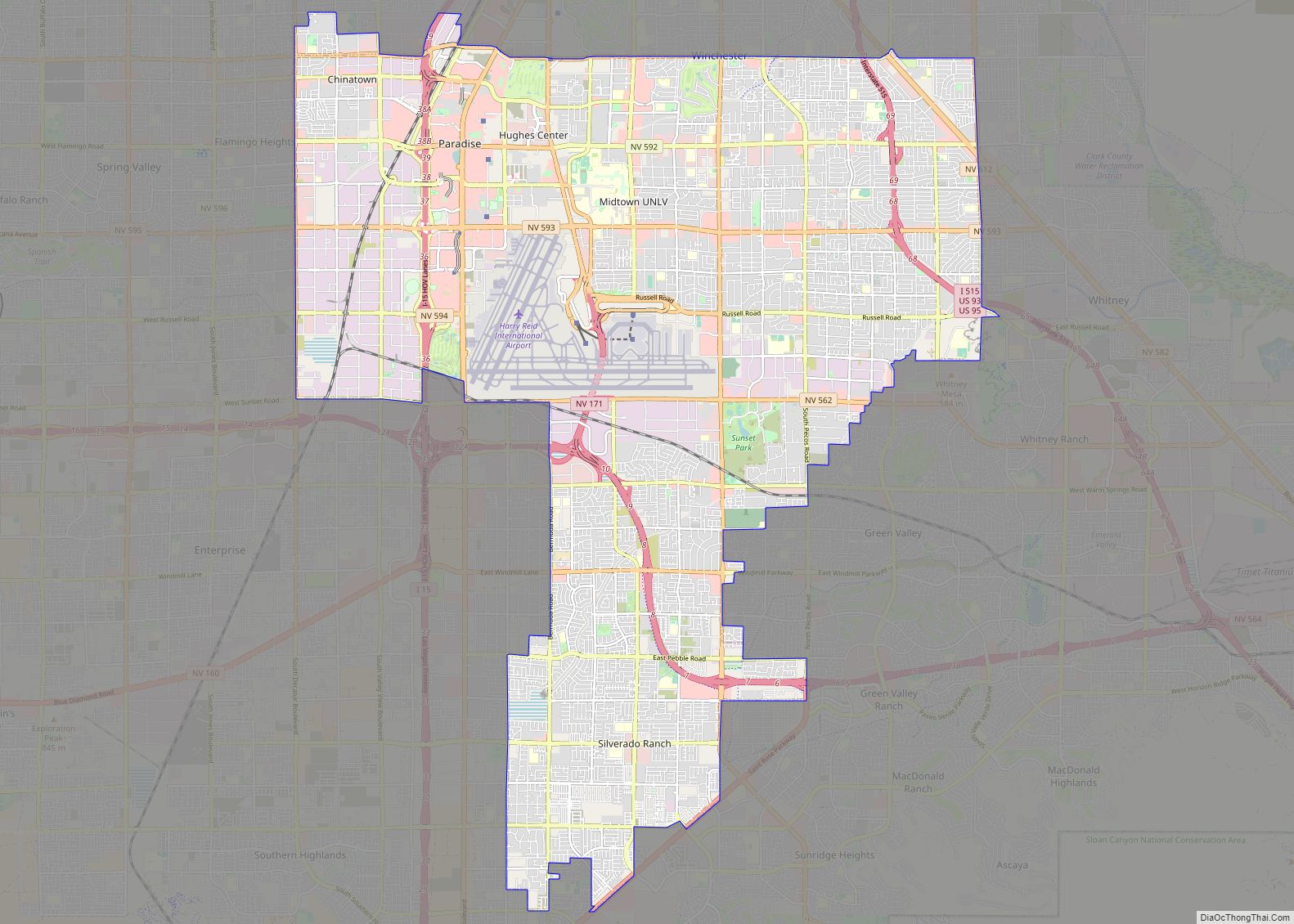
Paradise is an unincorporated town and census-designated place (CDP) in Clark County, Nevada, United States, adjacent to the city of Las Vegas. It was formed on December 8, 1950. Its population was 191,238 at the 2020 census, making it the fifth-most-populous CDP in the United States; if it were an incorporated city, it would be ... Read more
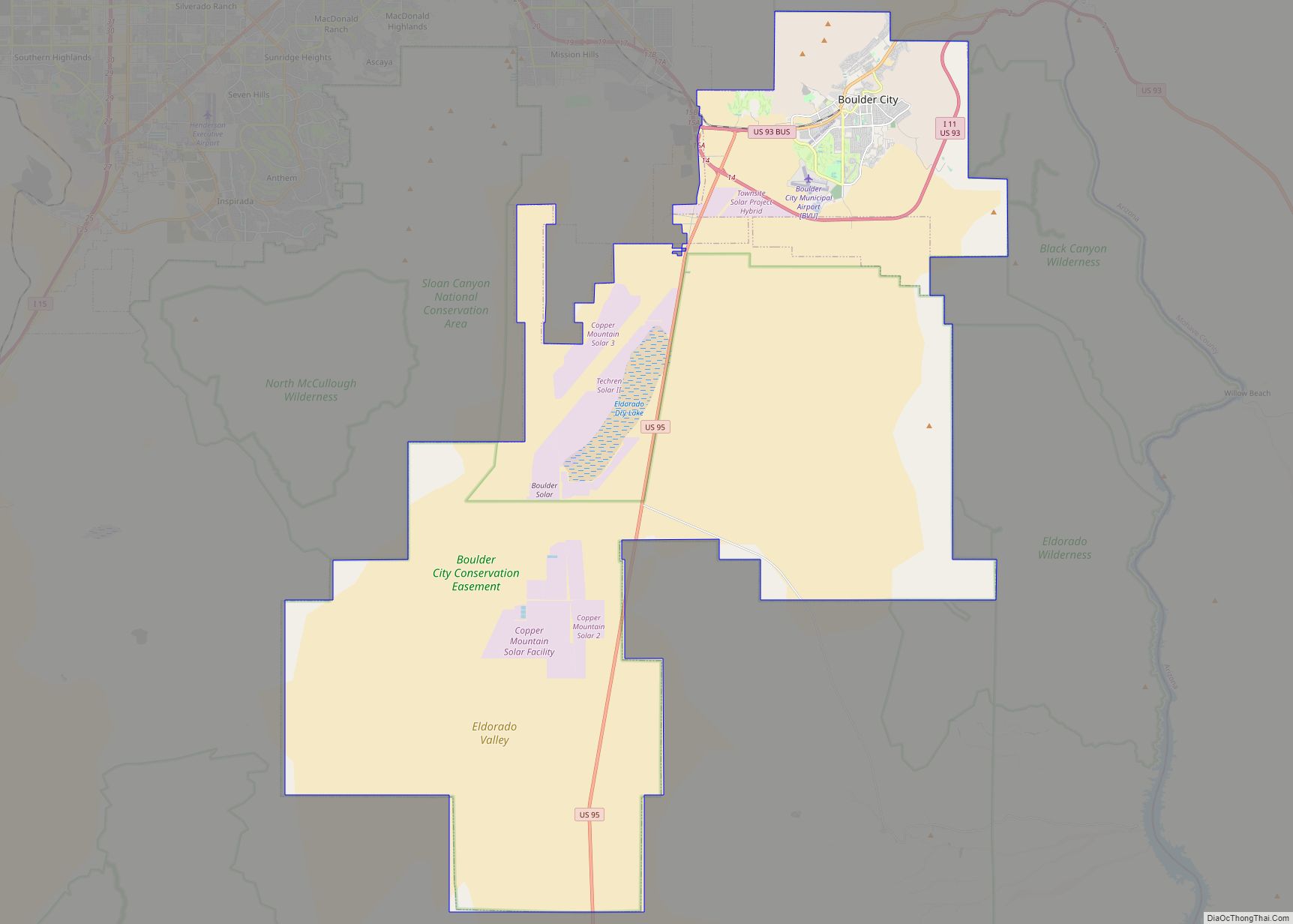
Boulder City is a city in Clark County, Nevada, United States. It is approximately 26 miles (42 km) southeast of Las Vegas. As of the 2020 census, the population of Boulder City was 14,885. The city took its name from Boulder Canyon. Boulder City is one of only two places in Nevada that prohibits gambling, the ... Read more
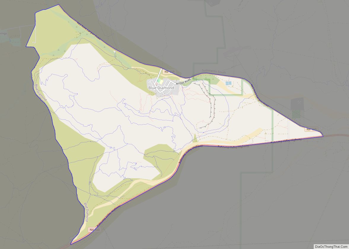
Blue Diamond is a census-designated place (CDP) in Clark County, Nevada, United States. The population was 268 at the 2020 census. Blue Diamond CDP overview: Name: Blue Diamond CDP LSAD Code: 57 LSAD Description: CDP (suffix) State: Nevada County: Clark County Elevation: 3,383 ft (1,031 m) Total Area: 7.22 sq mi (18.69 km²) Land Area: 7.22 sq mi (18.69 km²) Water Area: 0.00 sq mi ... Read more
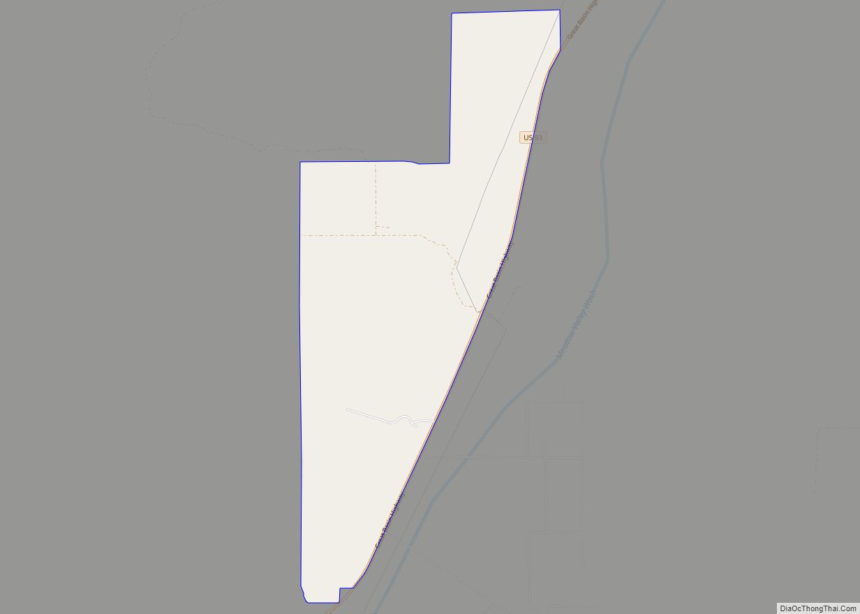
Bennett Springs is a census-designated place in Lincoln County, Nevada, United States. As of the 2010 census it had a population of 132. Bennett Springs CDP overview: Name: Bennett Springs CDP LSAD Code: 57 LSAD Description: CDP (suffix) State: Nevada County: Lincoln County Elevation: 4,700 ft (1,400 m) Total Area: 3.39 sq mi (8.77 km²) Land Area: 3.39 sq mi (8.77 km²) Water ... Read more
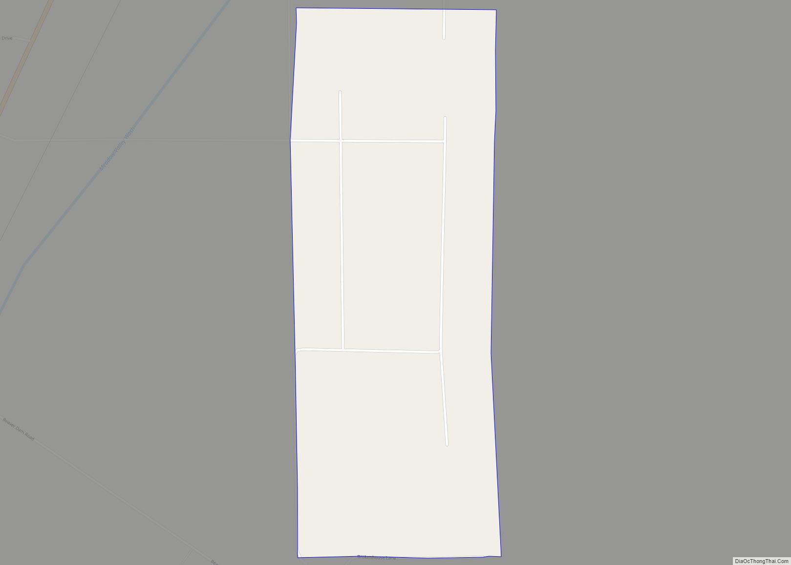
Beaverdam is a census-designated place in Lincoln County, Nevada, United States. As of the 2010 census it had a population of 44. Beaverdam CDP overview: Name: Beaverdam CDP LSAD Code: 57 LSAD Description: CDP (suffix) State: Nevada County: Lincoln County Elevation: 4,600 ft (1,400 m) Total Area: 0.69 sq mi (1.78 km²) Land Area: 0.69 sq mi (1.78 km²) Water Area: 0.00 sq mi (0.00 km²) ... Read more
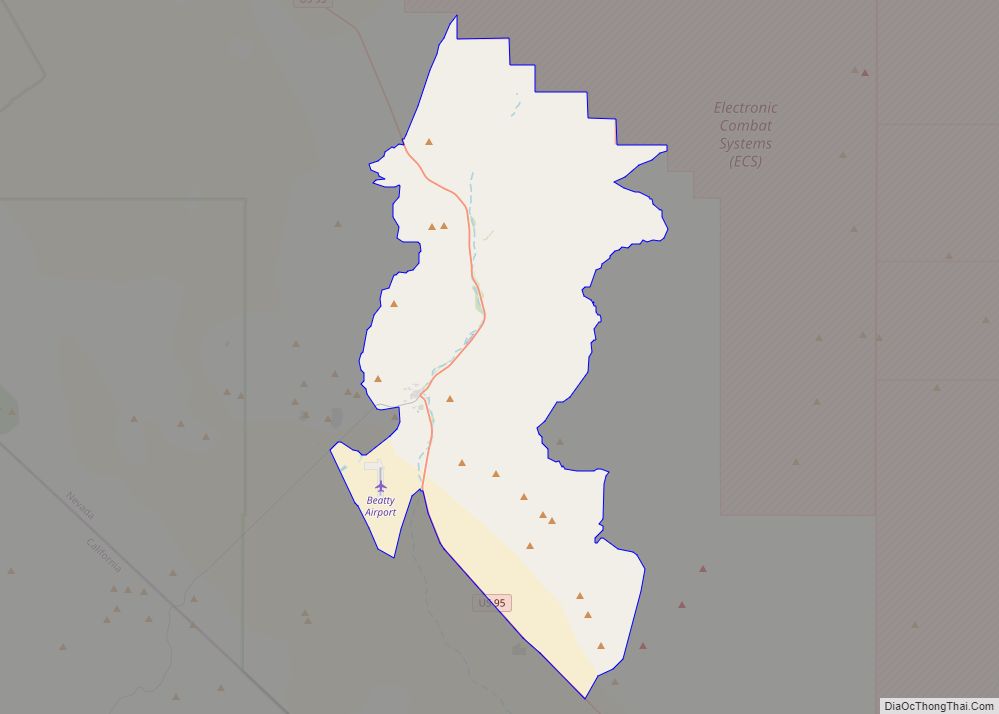
Beatty (/ˈbeɪti/ BAYT-ee) is an unincorporated town along the Amargosa River in Nye County in the U.S. state of Nevada. U.S. Route 95 runs through the town, which lies between Tonopah, about 90 miles (140 km) to the north and Las Vegas, about 120 miles (190 km) to the southeast. State Route 374 connects Beatty to Death ... Read more
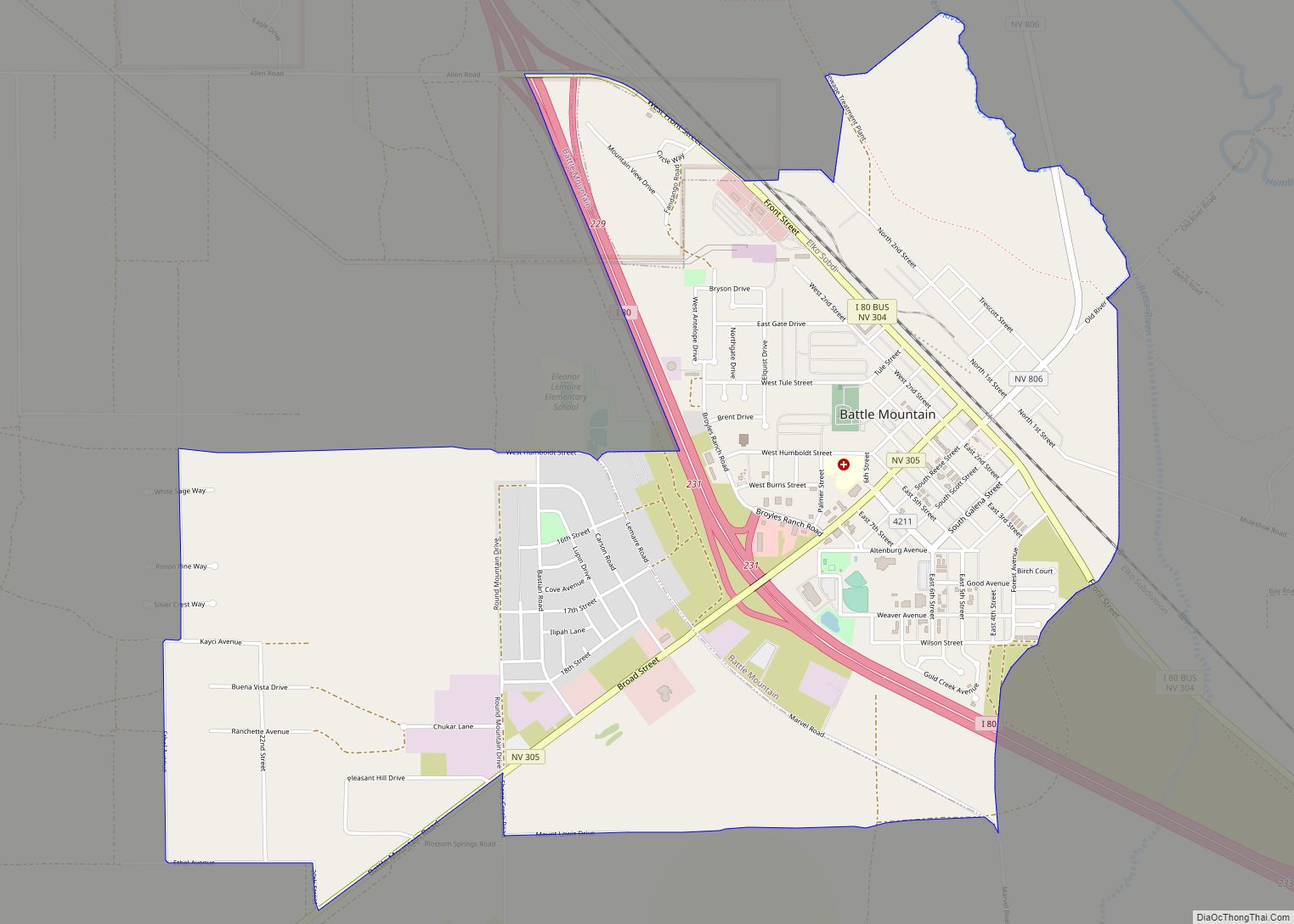
Battle Mountain is an unincorporated town in and the county seat of Lander County, Nevada, United States. The population was 3,635 at the 2010 census. Its primary economic base is gold mining and, to a lesser extent, legalized gambling. The town is located on Interstate 80 between Winnemucca and Elko. Battle Mountain CDP overview: Name: ... Read more
