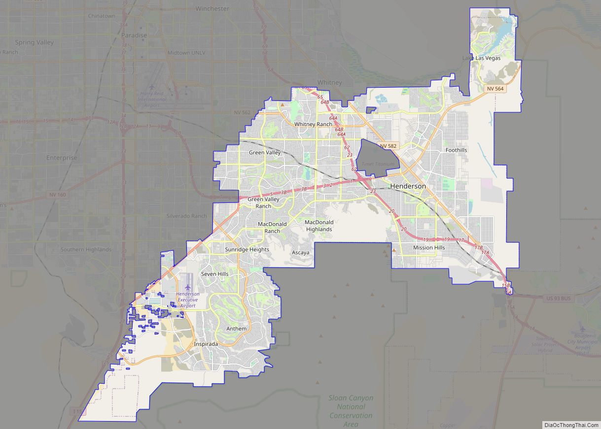
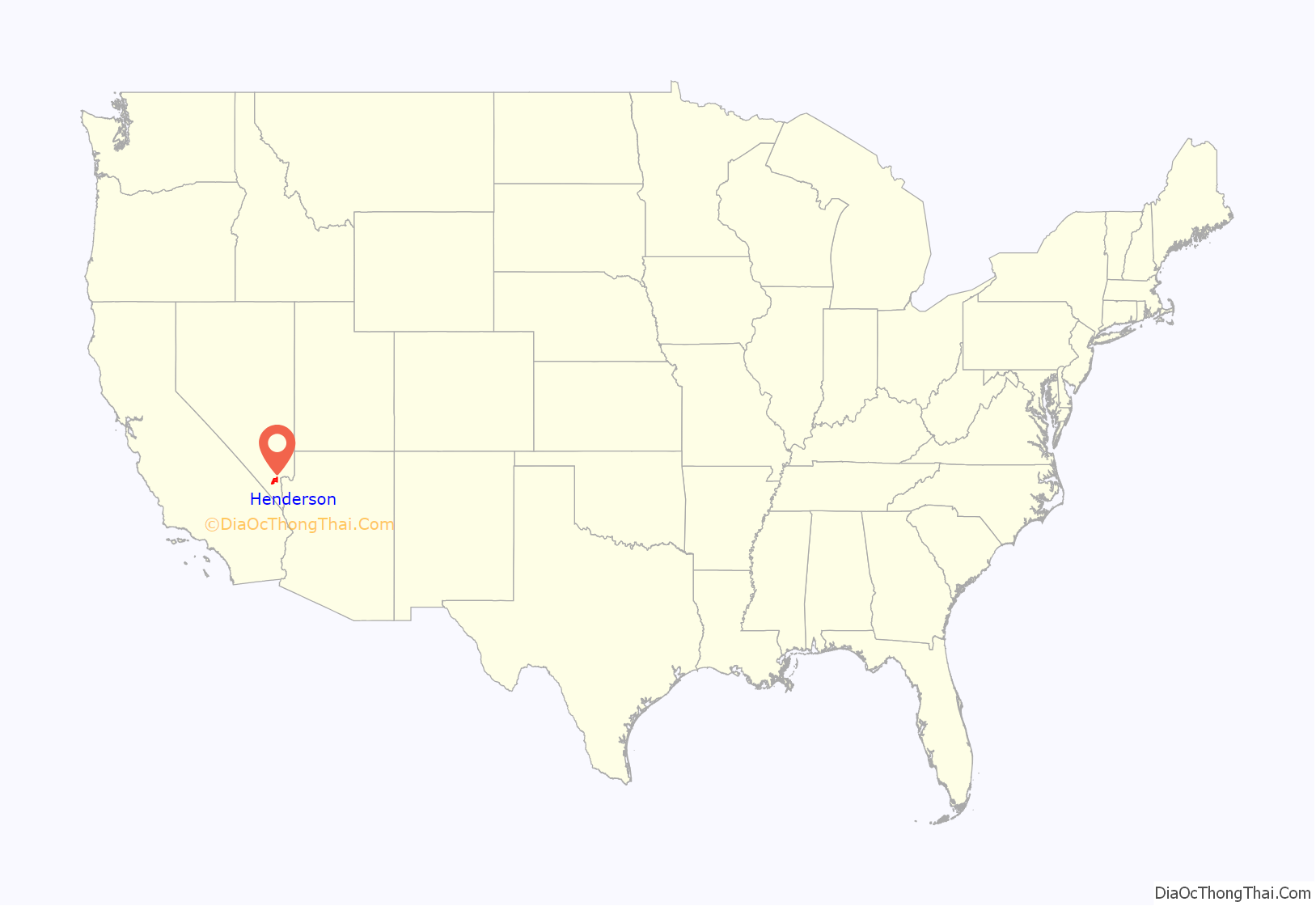
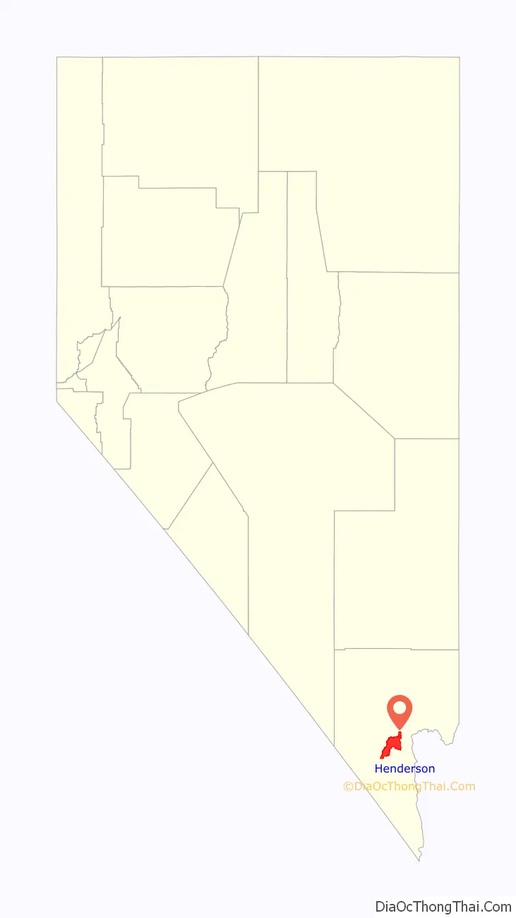
Henderson is a city in Clark County, Nevada, United States, about 16 miles (26 km) southeast of downtown Las Vegas. It is the second largest city in Nevada, after Las Vegas, with an estimated population of 320,189 in 2019. The city is part of the Las Vegas Valley. Henderson occupies the southeastern end of the valley, at an elevation of 1,864 feet (568 m).
Henderson is known for its supply of magnesium during World War II. With the decline of magnesium production, the Nevada legislature approved a bill that gave Nevada’s Colorado River Commission the authority to purchase the industrial plants, and Henderson was incorporated in 1953. Henderson is the location of Lake Las Vegas.
| Name: | Henderson city |
|---|---|
| LSAD Code: | 25 |
| LSAD Description: | city (suffix) |
| State: | Nevada |
| County: | Clark County |
| Founded: | 1941; 82 years ago (1941) |
| Incorporated: | April 16, 1953; 70 years ago (1953-04-16) |
| Elevation: | 1,864 ft (569 m) |
| Total Area: | 106.92 sq mi (276.94 km²) |
| Land Area: | 106.43 sq mi (275.66 km²) |
| Water Area: | 0.49 sq mi (1.27 km²) |
| Total Population: | 317,610 |
| Population Density: | 2,984.10/sq mi (1,152.16/km²) |
| ZIP code: | 89002, 89009, 89011, 89012, 89014-89016, 89044, 89052, 89053, 89074, 89077 |
| Area code: | 702 and 725 |
| FIPS code: | 3231900 |
| Website: | www.cityofhenderson.com |
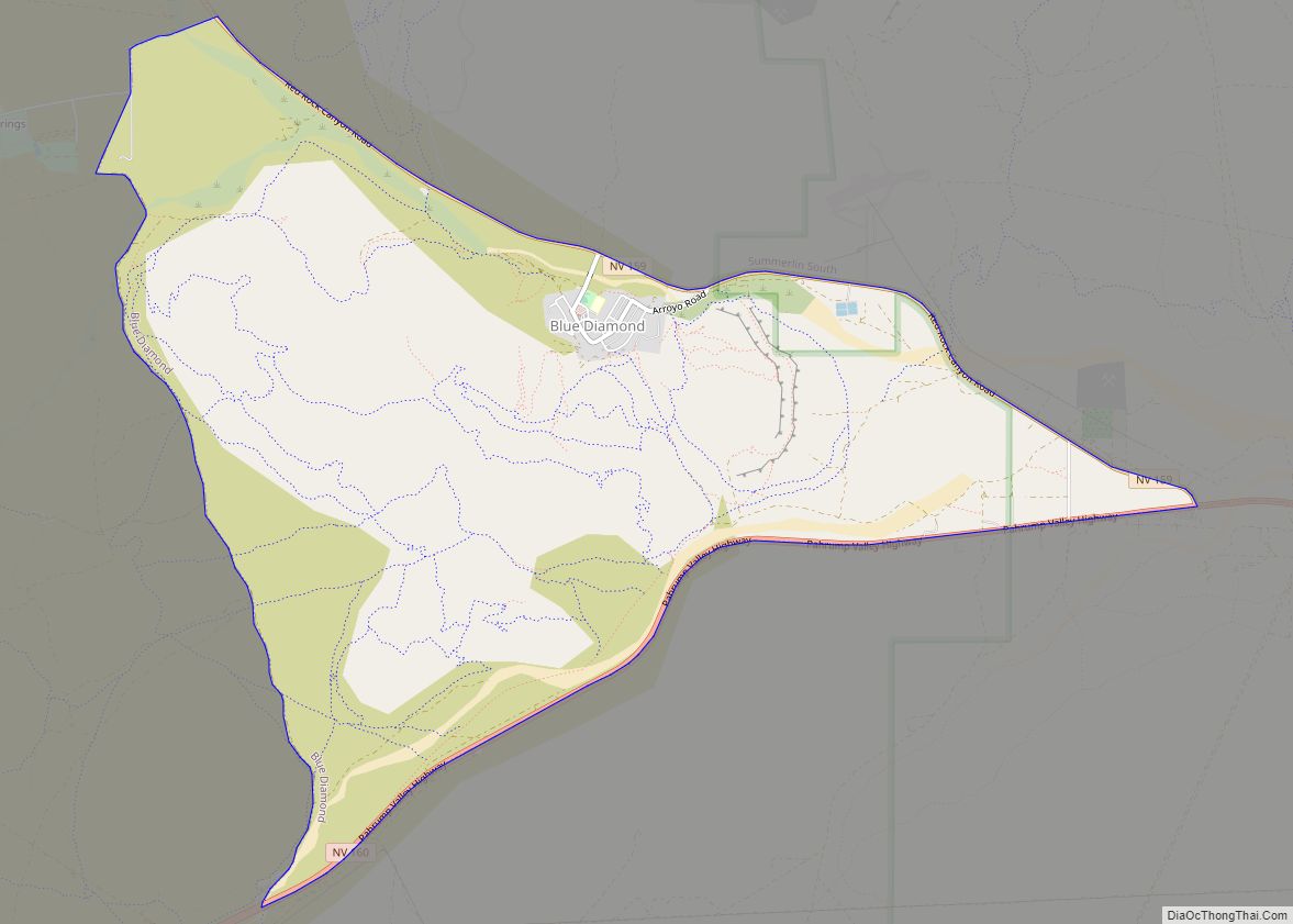
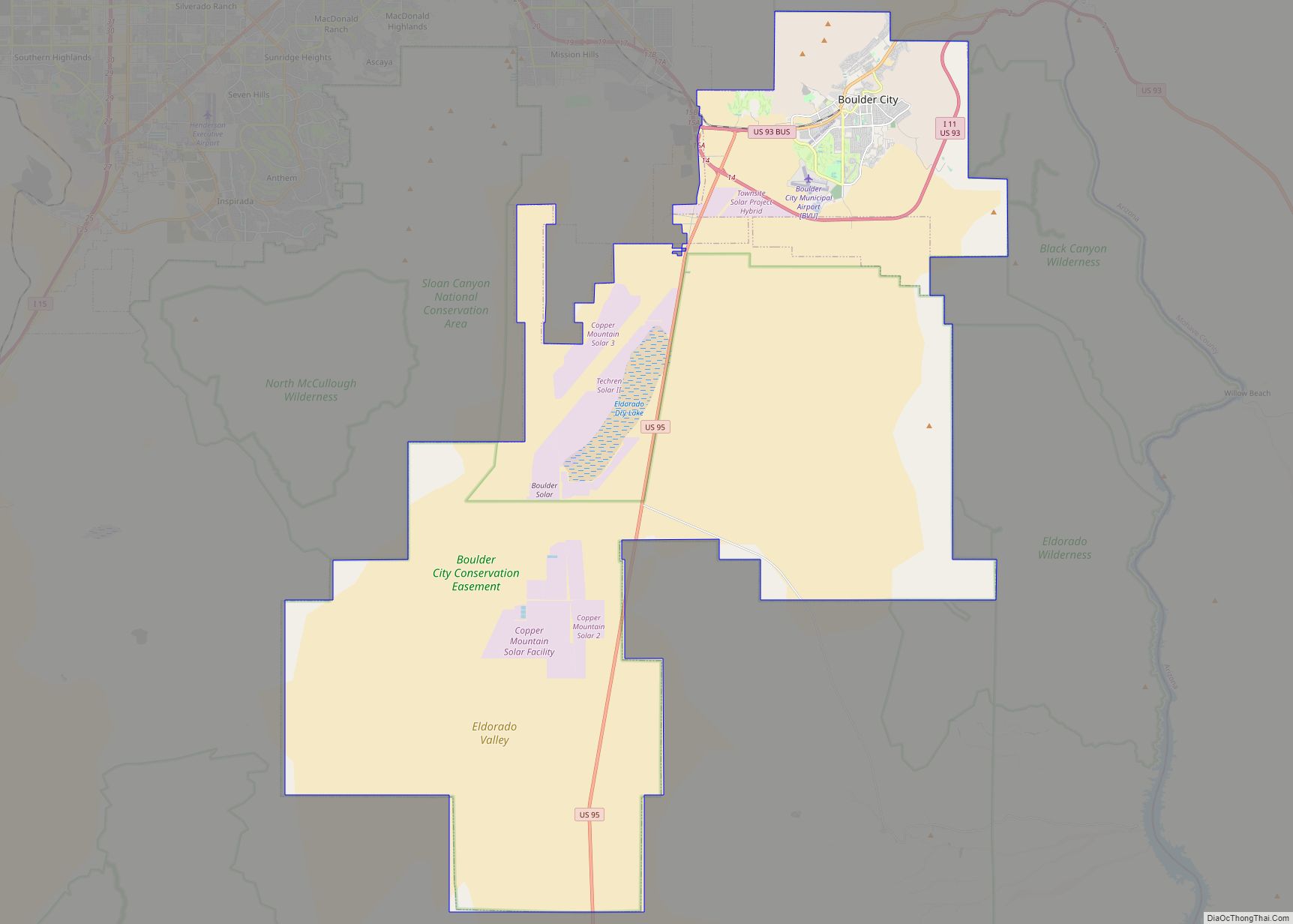
Online Interactive Map
Click on ![]() to view map in "full screen" mode.
to view map in "full screen" mode.
Henderson location map. Where is Henderson city?
History
The township of Henderson first emerged in the 1940s during World War II with the building of the Basic Magnesium Plant. Henderson quickly became the main supplier of magnesium in the United States, which was called the “miracle metal” of World War II. The plant supplied the US War Department with magnesium for incendiary munition casings and airplane engines, frames, and other parts. A quarter of all US wartime magnesium came from the Henderson Plant to strengthen aluminum, using 25% of Hoover Dam’s power to separate the metal from its ore by electrolysis. Mayor Jim Gibson’s grandfather, Fred D. Gibson, was one of the original engineers sent to Great Britain to learn the secret of creating the “miracle metal” which would help the United States and its allies win the war. The British liaison officer sent to Henderson, Major Charles Ball, had a main thoroughfare named after him. Because of concerns about having a street named “Ball Avenue”, the name was later changed to “Major Avenue”.
Although “born in America’s defense”, Henderson’s future after World War II was uncertain. In 1947, magnesium production was no longer necessary for defense, and most of the Black Mountain Industrial (BMI) Complex’s 14,000 employees moved away. Enrollment in the school system was reduced by two thirds, and well over half the townsite houses, built to house plant workers, became vacant. In 1947, the United States War Asset Administration offered Henderson for sale as war surplus property.
In an effort to save the city, the Nevada Legislature spent a weekend visiting Henderson, evaluating the possibility of state administration of Basic Magnesium. Within days of the visit, the legislators unanimously approved a bill that gave Nevada’s Colorado River Commission the authority to purchase the industrial plants. Governor Vail Pittman signed the bill on March 27, 1947, helping save Henderson from becoming war surplus property.
With the help of local industry, Henderson was incorporated on April 16, 1953 as the City of Henderson. On May 23, 1953, Henderson, with its population of 7,410, elected Dr. Jim French as the first mayor. Originally only about 13 square miles (34 km) in size, the city quickly began to grow, reaching over 94 square miles (240 km) in size today.
Rocket fuel factory fire
In 1988, the Pacific Engineering and Production Company of Nevada (PEPCON) rocket fuel factory, in the modern-day Gibson Springs neighborhood of Henderson, caught fire. The blaze quickly engulfed the factory, spewing rocket fuel, smoke, and toxic fumes from the building, eventually obliterating it in a massive explosion, followed by six smaller explosions. Smoke was seen from 100 miles (160 km) away, and two major blasts measured 3.0 and 3.5, respectively, on the Richter magnitude scale at observatories in California and Colorado. These explosions sent shockwaves throughout Henderson and parts of the Las Vegas Valley that shattered glass and damaged buildings. Two people were killed and 372 were injured. Investigators surveying the damage in the surrounding communities estimated the blast as similar to a 1-kiloton airblast nuclear detonation.
The events of the PEPCON factory disaster spurred development in Henderson years later, from its historical industrial development to residential and commercial development. There are now no signs of the explosion where it happened. Today, the site consists mostly of office buildings.
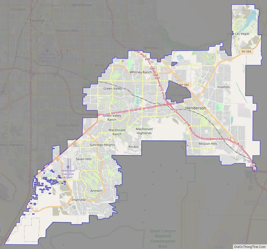
Henderson Road Map
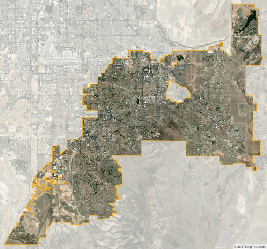
Henderson city Satellite Map
Geography
Henderson is about 16 miles (26 km) southeast of downtown Las Vegas.
According to the United States Census Bureau, the city has a total area of 107.7 square miles (279.0 km), all land.
The city is in the Mojave Desert with wildlife and vegetation typical of the Mojave. The mountains that surround Henderson mostly have gentle slopes. The McCullough Range is closest to the city; most of this range is covered by black rocks from a volcanic explosion millions of years ago. These mountains reach an average height of about 3,800 feet (1,200 m). The landscape consists of the desert; the only water in the city is found in washes like Duck Creek.
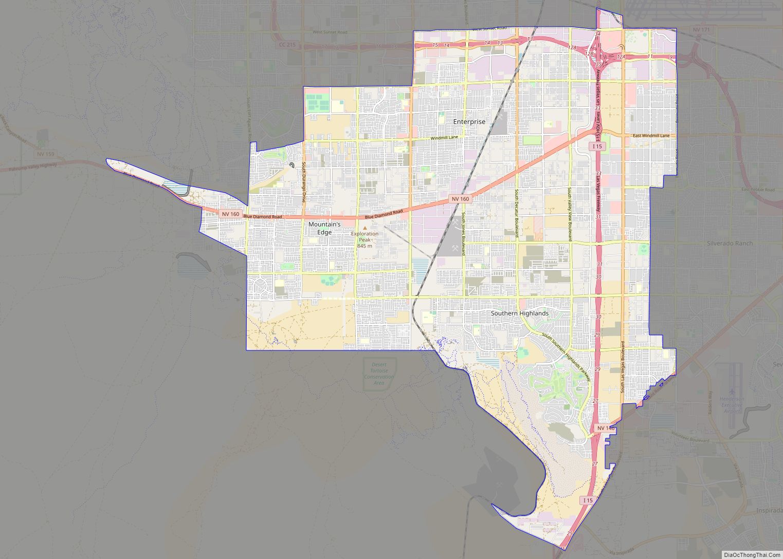
Residential neighborhoods in Henderson include Anthem, Anthem Country Club, Ascaya, Black Mountain Vistas, Cadence, Calico Ridge, Champion Village, The Fountains, Grand Legacy, Green Valley, Green Valley Estates, Green Valley Ranch, Hillsboro Heights, Inspirada, Lake Las Vegas, MacDonald Highlands, MacDonald Ranch, Madeira Canyon, Club at Madeira Canyon, Roma Hills, Seven Hills, Sun City Anthem, Sun City MacDonald Ranch, Tuscany Village, and Whitney Ranch.
Climate
Henderson is classified as having a hot desert climate (BWh) in the Köppen climate classification. It has mild winters and hot summers. Snow can occasionally fall in the winter. The monsoon can bring storms in the summer, which can cause flash flooding and thunderstorms. The hottest month is July and the coldest month is December. On average there are 292 clear days per year.
See also
Map of Nevada State and its subdivision: Map of other states:- Alabama
- Alaska
- Arizona
- Arkansas
- California
- Colorado
- Connecticut
- Delaware
- District of Columbia
- Florida
- Georgia
- Hawaii
- Idaho
- Illinois
- Indiana
- Iowa
- Kansas
- Kentucky
- Louisiana
- Maine
- Maryland
- Massachusetts
- Michigan
- Minnesota
- Mississippi
- Missouri
- Montana
- Nebraska
- Nevada
- New Hampshire
- New Jersey
- New Mexico
- New York
- North Carolina
- North Dakota
- Ohio
- Oklahoma
- Oregon
- Pennsylvania
- Rhode Island
- South Carolina
- South Dakota
- Tennessee
- Texas
- Utah
- Vermont
- Virginia
- Washington
- West Virginia
- Wisconsin
- Wyoming