North Las Vegas is a suburban city in Clark County, Nevada, United States, in the Las Vegas Valley. As of the 2010 census it had a population of 216,961, with an estimated population of 251,974 in 2019. The city was incorporated on May 1, 1946. It is the fourth largest city in the state of Nevada.
| Name: | North Las Vegas city |
|---|---|
| LSAD Code: | 25 |
| LSAD Description: | city (suffix) |
| State: | Nevada |
| County: | Clark County |
| Founded: | 1919; 104 years ago (1919) |
| Incorporated: | May 1, 1946; 77 years ago (1946-05-01) |
| Elevation: | 2,205 ft (672 m) |
| Total Area: | 102.37 sq mi (265.13 km²) |
| Land Area: | 102.32 sq mi (265.02 km²) |
| Water Area: | 0.04 sq mi (0.11 km²) |
| Total Population: | 262,527 |
| Population Density: | 2,565.64/sq mi (990.60/km²) |
| ZIP code: | 89030–89033, 89036, 89081, 89084–89087 |
| Area code: | 702 and 725 |
| FIPS code: | 3251800 |
| GNISfeature ID: | 0847435 |
| Website: | www.cityofnorthlasvegas.com |
Online Interactive Map
Click on ![]() to view map in "full screen" mode.
to view map in "full screen" mode.
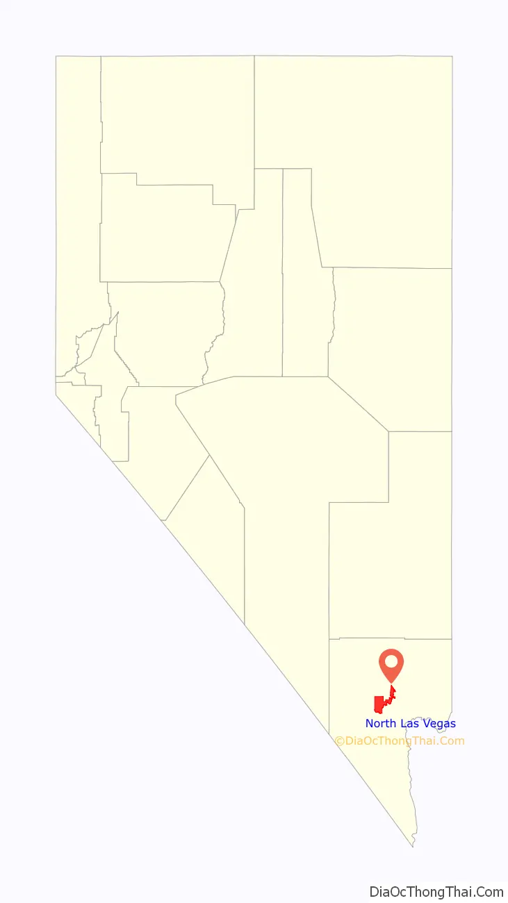
North Las Vegas location map. Where is North Las Vegas city?

History
During the 1860s, Conrad Kiel established a ranch at the modern-day intersection of Carey Street and Losee Road in what would be North Las Vegas. In 1917, libertarian Thomas L. Williams of Eureka, Utah visited the Las Vegas Valley, back when Las Vegas, Las Vegas Indian Colony, and Arden were the only entities in the valley. He did not approve of Las Vegas, perhaps because of its rowdiness (he was a Christian, or at least went to church), or because Las Vegas’ attempts at municipal control over its citizens. However, he was pleased by the abundance of the valley’s artesian water and potential for agriculture. Two years later in 1919, he moved himself and his family (his wife and three sons) to a 160-acre piece of land a mile from Las Vegas. That year, he founded his town, developing the town by building he and his family a house, sinking a well, grading roads, extending power lines, and forming a system of irrigation ditches. Williams believed that churches and church people should govern the new town, and so encouraged churches to buy property in the town. In 1919, the federally enforced Volstead Act was passed, which prohibited the sale, possession, and consumption of alcohol. Since there was no local law against alcohol, and because of a system of tunnels that would connect the town’s underground speakeasies, the town attracted bootleggers from Las Vegas, although Williams was initially unaware of this. This gave his town the nickname of “Old Town”. When he did discover of it, he stuck with agriculture for his economic purposes.
In 1924, Williams built his second house that was the first business of the town. It was named the Oasis Auto Court, and it contained a grocery store, a campground, a post office, a community center, and a telephone. At the time, it was the town’s only telephone. Between 1928 and 1935, a large influx of workers from the Hoover Dam settled in Williams’ town, as Las Vegas was intolerant towards them. In 1932, the town board was created. That same year, the town’s first grammar school, Washington School, opened. A proper name had not yet been established for the town, and Williams did not want it named after himself, which lead to the town board voting for either “North Las Vegas” or “Vegas Verde” (which means “Green Meadows” in Spanish). “Vegas Verde” won, and that became the name for the town for a few months. George Hansen, a town board member who voted for the name “North Las Vegas”, noticed that at one town board meeting, two members who voted the name “Vegas Verde” were absent. The vote for a name came once again, and “North Las Vegas” won. In 1939, Williams died of stroke, and that left North Las Vegas to the ruling of the town board. An elementary school, and a road, were eventually named after him. During World War II, the Las Vegas Aerial Gunnery School opened in North Las Vegas. It would eventually become Nellis Air Force Base. North Las Vegas was the subject of many annexation attempts from Las Vegas. On May 1, 1946, North Las Vegas was incorporated as a city. In 1957, North Las Vegas planned to annex an area to its southeast, and in response, the Clark County Commission created the town of Sunrise Manor to prevent further annexation attempts.
On May 13, 1964, First Lieutenant Raynor Lee Hebert, a student pilot from Port Arthur, Texas, took off from Nellis Air Force Base at approximately 2:00 PM on an F-105 fighter jet. He radioed his flight leader saying that he could not retract his nose gear, and thus couldn’t gain altitude. He was at an height high enough to bail out, but too low that if he did, he would’ve hit Lincoln Elementary School, which was in session with 800 students. He kept the plane nose up long enough to pass the school, and eventually hit nine residential houses on Lenwood Avenue. The crash killed Hebert and four civilians. Hebert Memorial Park was created by the City of North Las Vegas with a plaque at the crash site to commemorate Hebert.
In the early 1960s, North Las Vegas had a major growth boom. The 1970s in North Las Vegas saw a growth in poor neighborhoods, population density, and crime. In 1988, former mayor James Seastrand said in one interview,
In the 1990s, North Las Vegas annexed about 60 square miles of empty desert surrounding the city, reportedly for more “upscale” housing.
On January 29, 2022, nine people were killed and a tenth critically injured following a six-vehicle crash on an intersection in North Las Vegas. The crash occurred after a speeding Dodge Challenger ran a red light and struck the other five vehicles. It was the deadliest road accident in the area in recent history.
North Las Vegas Road Map

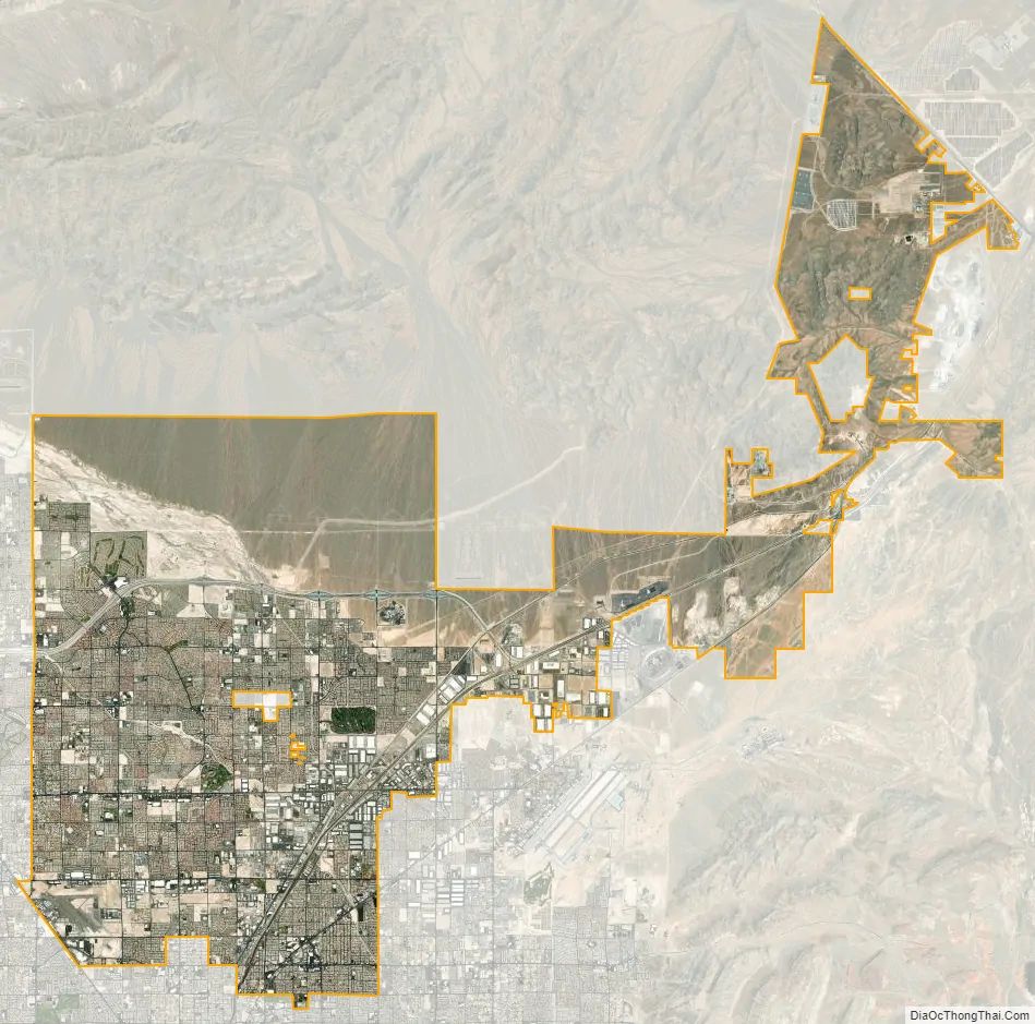
North Las Vegas city Satellite Map
Geography
Located within the Mojave Desert in the southwestern United States, North Las Vegas sits northeast of Las Vegas. According to the United States Census Bureau, North Las Vegas has a total area of 101.4 square miles (262.6 km), of which 0.04 square miles (0.1 km), or 0.04%, is water. In the Las Vegas Valley, there are several prominent mountain ranges nearby.
Climate
Due to its location within the Mojave Desert, North Las Vegas has a desert climate. Temperatures are generally mild in the winter and hot in the summer. Like most of the hot deserts of the United States, snowfall only occurs once every few years on average. In winter, temperatures rarely fall below freezing. In the summer, monsoons can reach the area, bringing heavy rain and thunderstorms.
See also
Map of Nevada State and its subdivision: Map of other states:- Alabama
- Alaska
- Arizona
- Arkansas
- California
- Colorado
- Connecticut
- Delaware
- District of Columbia
- Florida
- Georgia
- Hawaii
- Idaho
- Illinois
- Indiana
- Iowa
- Kansas
- Kentucky
- Louisiana
- Maine
- Maryland
- Massachusetts
- Michigan
- Minnesota
- Mississippi
- Missouri
- Montana
- Nebraska
- Nevada
- New Hampshire
- New Jersey
- New Mexico
- New York
- North Carolina
- North Dakota
- Ohio
- Oklahoma
- Oregon
- Pennsylvania
- Rhode Island
- South Carolina
- South Dakota
- Tennessee
- Texas
- Utah
- Vermont
- Virginia
- Washington
- West Virginia
- Wisconsin
- Wyoming