Sparks is a city in Washoe County, Nevada, United States. It was founded in 1904, incorporated on March 15, 1905, and is located just east of Reno. The 2020 U.S. Census counted 108,445 residents in the city. It is the fifth most populous city in Nevada. It is named after John Sparks, Nevada Governor (1903–1908), and a member of the Silver Party.
Sparks is located within the Reno–Sparks metropolitan area.
| Name: | Sparks city |
|---|---|
| LSAD Code: | 25 |
| LSAD Description: | city (suffix) |
| State: | Nevada |
| County: | Washoe County |
| Founded: | 1904; 119 years ago (1904) |
| Incorporated: | March 15, 1905; 118 years ago (1905-03-15) |
| Elevation: | 4,413 ft (1,345 m) |
| Total Area: | 36.60 sq mi (94.80 km²) |
| Land Area: | 36.49 sq mi (94.51 km²) |
| Water Area: | 0.11 sq mi (0.29 km²) |
| Total Population: | 108,445 |
| Population Density: | 2,971.83/sq mi (1,147.42/km²) |
| ZIP code: | 89431, 89434, 89437 |
| Area code: | 775 |
| FIPS code: | 3268400 |
| GNISfeature ID: | 0856391 |
| Website: | cityofsparks.us |
Online Interactive Map
Click on ![]() to view map in "full screen" mode.
to view map in "full screen" mode.
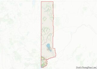
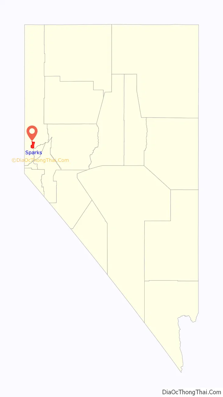
Sparks location map. Where is Sparks city?

History
Euro-American settlement began in the early 1850s, and the population density remained very low until 1904 when the Southern Pacific Railroad built a switch yard and maintenance sheds there, after moving the division point from Wadsworth. In 1902, The Southern Pacific purchased a large tract of swamp-like land near its newly built railyard, and gave everyone clear deed to a 50 ft × 140 ft (15 m × 43 m) lot for the sum of $1. They also offered to pick up and move every house in Wadsworth and reassemble it in this new town free of charge. As the population increased, a city was established, first called Harriman, after E.H. Harriman, president of the Southern Pacific, and then renamed Sparks, after John Sparks, then governor of Nevada.
Sparks remained a small town until the 1950s, when economic growth in Reno triggered a housing boom north of the railroad in the area of Sparks. During the 1970s, the area south of the railroad started to fill up with warehouses and light industry. In 1984, the tower for the Nugget Casino Resort was finished, giving Sparks its first, and currently only, high-rise casino. In 1996, the redevelopment effort of the B Street business district across from the Nugget that started in the early 1980s took a step forward with the opening of a multi-screen movie complex and the construction of a plaza area. This area, now known as Victorian Square, is a pedestrian-friendly district that hosts many open-air events.
Under direction of the U.S. Environmental Protection Agency, a comprehensive dynamic water quality computer model, the DSSAM Model, was developed (Earth Metrics, 1987) to analyze impacts of a variety of land use and stormwater management decisions throughout the 3,120-square-mile (8,100 km) Truckee River basin; this model was used to develop a set of surface runoff stormwater management measures for Sparks in the 1980s.
Panasonic Energy’s manufacturing plant in Sparks, Gigafactory 1, produces EV batteries for Tesla. It employed about 7,000 people in 2020.
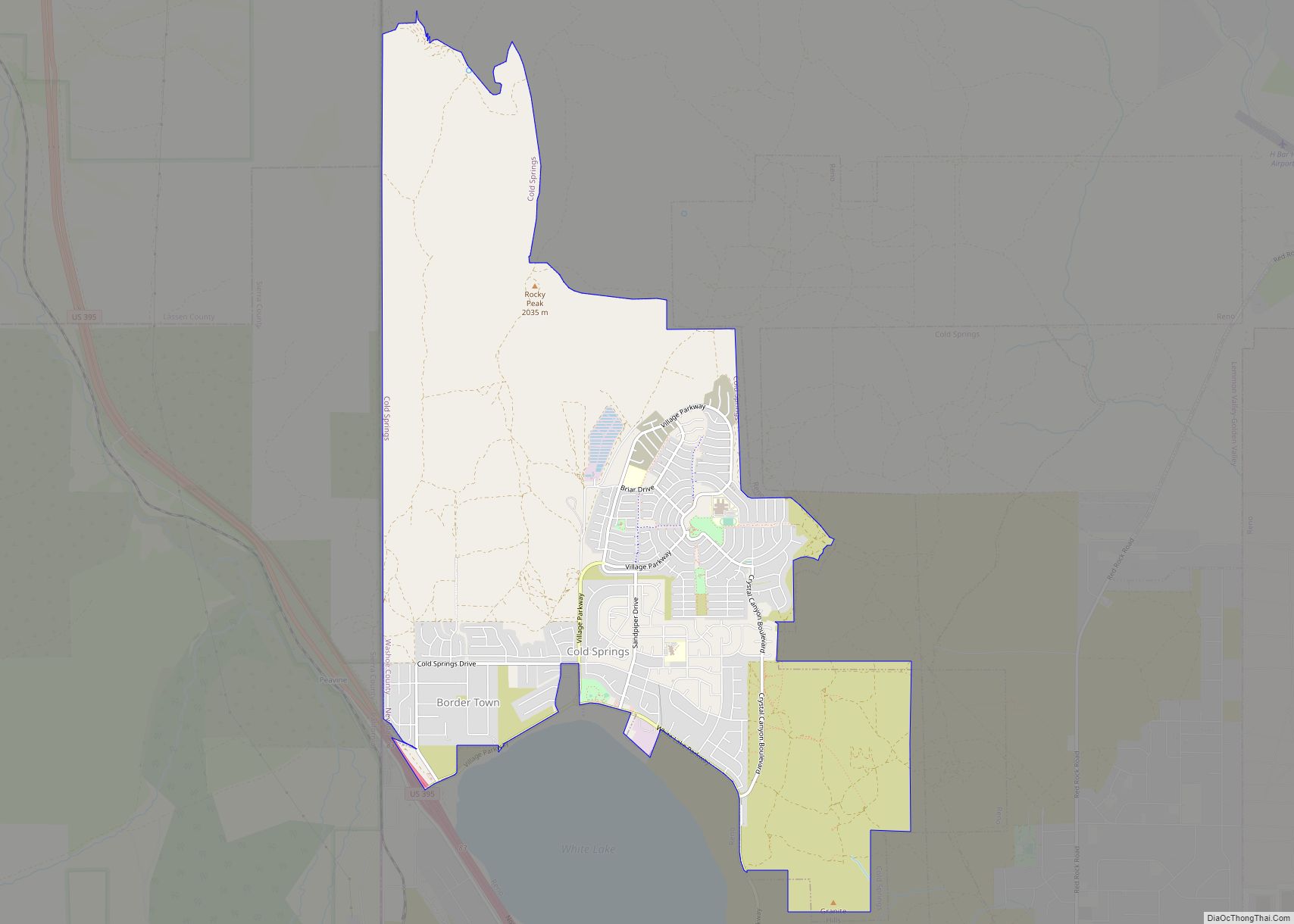
Sparks Road Map
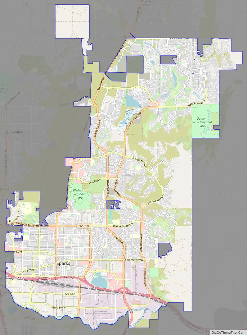
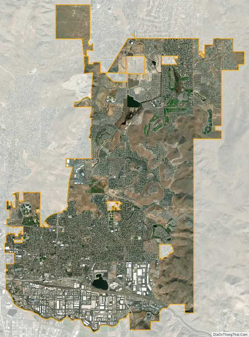
Sparks city Satellite Map
Geography
According to the U.S. Census Bureau, Sparks has a total area of 35.9 square miles (93.0 km), of which 35.8 square miles (92.6 km) is land and 0.15 square miles (0.4 km), or 0.47%, is water. Stormwater surface runoff from the city drains into the Truckee River, a sensitive waterway that empties into Pyramid Lake, which has no outlet and is the habitat of two endangered species.
Climate
Sparks has a semi-arid climate. Due to frequent low humidity, especially in the summer, daily temperature ranges are fairly wide. The average January temperatures are a maximum of 48.2 °F (9.0 °C) and a minimum of 24.7 °F (−4.1 °C). Average July temperatures are a maximum of 92.1 °F (33.4 °C) and a minimum of 55.4 °F (13.0 °C). There are an average of 59.5 days with highs of 90 °F (32 °C) and an average of 140.6 days with lows of 32 °F (0 °C). The record high temperature was 108 °F (42 °C) on July 11, 2002, and the record low temperature was −19 °F (−28 °C) on February 7, 1989.
Average annual precipitation in Sparks is 8.38 inches (213 mm). There are an average of 45 days with measurable precipitation. The wettest year was 2017 with 12.38 inches (314 mm) and the driest was 2013 with 3.27 inches (83 mm). The most precipitation in one month was 5.17 inches (131 mm) in January 2017, including the most precipitation in 24 hours, which was 2.41 inches (61 mm) on October 25, 2021.
Average snowfall per year is 6.8 inches (17 cm). The most snow in one year was 23.3 inches (59 cm) in 2016 and the most snow in one month was 14.0 inches (36 cm) in February 2010.
Sparks has a cold desert climate (BW) with warm to hot summers and cool to cold winters. There is a great amount of diurnal temperature variation, causing summers to go from very hot during the day to cool at night. Winter temperatures during the day go well above freezing but can go to as low as 20 °F (−7 °C) during the night.
See also
Map of Nevada State and its subdivision: Map of other states:- Alabama
- Alaska
- Arizona
- Arkansas
- California
- Colorado
- Connecticut
- Delaware
- District of Columbia
- Florida
- Georgia
- Hawaii
- Idaho
- Illinois
- Indiana
- Iowa
- Kansas
- Kentucky
- Louisiana
- Maine
- Maryland
- Massachusetts
- Michigan
- Minnesota
- Mississippi
- Missouri
- Montana
- Nebraska
- Nevada
- New Hampshire
- New Jersey
- New Mexico
- New York
- North Carolina
- North Dakota
- Ohio
- Oklahoma
- Oregon
- Pennsylvania
- Rhode Island
- South Carolina
- South Dakota
- Tennessee
- Texas
- Utah
- Vermont
- Virginia
- Washington
- West Virginia
- Wisconsin
- Wyoming