Boulder City is a city in Clark County, Nevada, United States. It is approximately 26 miles (42 km) southeast of Las Vegas. As of the 2020 census, the population of Boulder City was 14,885. The city took its name from Boulder Canyon. Boulder City is one of only two places in Nevada that prohibits gambling, the other being the town of Panaca.
| Name: | Boulder City city |
|---|---|
| LSAD Code: | 25 |
| LSAD Description: | city (suffix) |
| State: | Nevada |
| County: | Clark County |
| Founded: | 1931; 92 years ago (1931) |
| Incorporated: | January 4, 1960; 63 years ago (1960-01-04) |
| Elevation: | 2,510 ft (765 m) |
| Total Area: | 208.30 sq mi (539.49 km²) |
| Land Area: | 208.26 sq mi (539.40 km²) |
| Water Area: | 0.03 sq mi (0.08 km²) |
| Total Population: | 14,885 |
| Population Density: | 71.47/sq mi (27.60/km²) |
| ZIP code: | 89005–89006 |
| Area code: | 702 and 725 |
| FIPS code: | 3206500 |
| GNISfeature ID: | 858617 |
| Website: | www.bcnv.org |
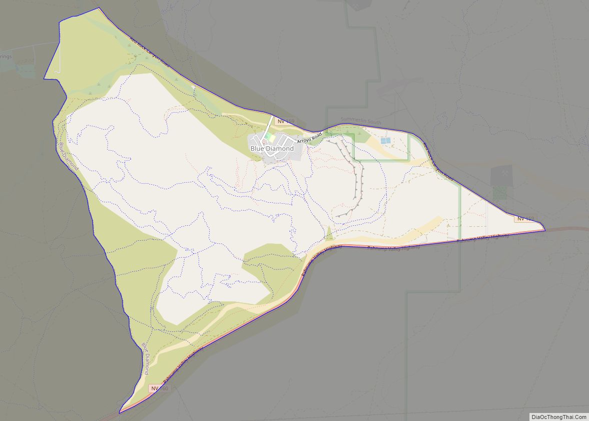
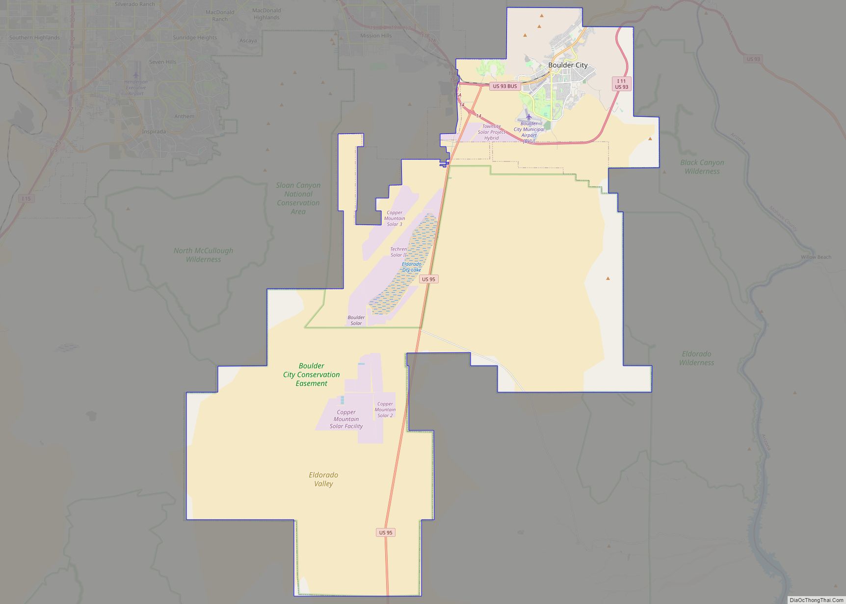
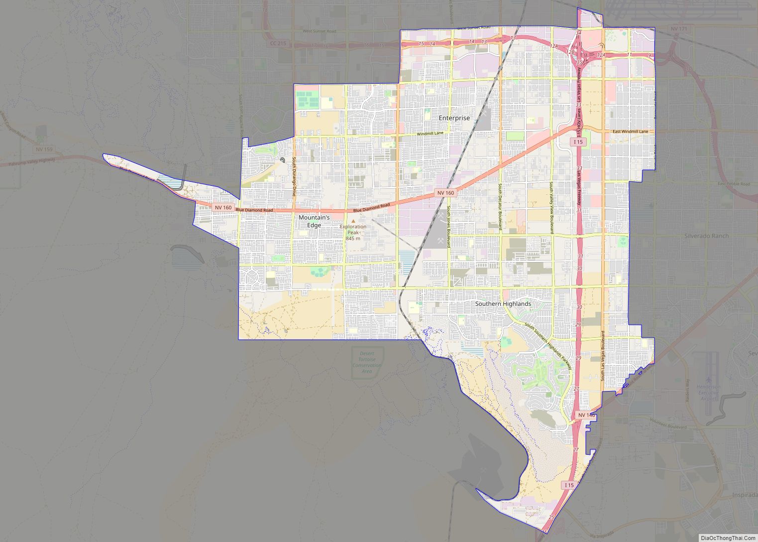
Online Interactive Map
Click on ![]() to view map in "full screen" mode.
to view map in "full screen" mode.
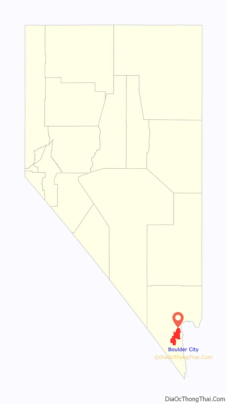
Boulder City location map. Where is Boulder City city?

History
Beginnings as federal company town
The land upon which Boulder City was founded was a harsh, desert environment. Its sole reason for existence was the need to house workers contracted to build the Hoover Dam on the Colorado River (known commonly as Boulder Dam from 1933 to 1947, when it was officially renamed Hoover Dam by a joint resolution of Congress). Men hoping for work on the dam project had begun settling along the river in tents soon after the precise site for the dam had been chosen by the Bureau of Reclamation in 1930. Their ramshackle edifices were collectively known as “Ragtown”.
Boulder City was originally built in 1931 by the Bureau of Reclamation and Six Companies, Inc. as housing for workers who were building the Hoover Dam.
The sheer scale of the dam and duration of the project required the Bureau of Reclamation to consider the construction of a semi-permanent town rather than a temporary arrangement. Boulder City was exceptionally rare as an example of a town fully planned under government supervision. This is unlike 19th century privately funded company town examples found in the United Kingdom, such as Port Sunlight, or in the United States, such as Pullman, Chicago.
Early years: 1930–1934
Boulder City was carefully planned through federal supervision as a model community, with Dutch-born urban architect Saco Rienk de Boer contracted to plan it. DeBoer had been a planner for Denver, Colorado, and was to design many towns and suburbs around the Rocky Mountain region. Because the Hoover Dam project itself represented a focus for optimism for a country suffering from the effects of the Great Depression, the town itself was to be an additional manifestation of this optimism. There was to be an emphasis on a clean-living environment for dam workers. The plan submitted by DeBoer in 1930 was formal and symmetrical with a park and the Bureau of Reclamation building at the termination of the two main axes. The plan was deemed too expensive to carry out in its original form and was modified to allow for more regular block sizes. Nevertheless, its allowance for public space and copious amounts of landscaping earned it the moniker “Nevada’s Garden City”. The provision of green landscape was another expression of the Bureau of Reclamation’s “mission to reclaim and ‘green’ the American West.”
The town was designed to house approximately 5,000 workers. The status of the workers on the Hoover Dam was reflected in their house sizes and locations. The most important employees had their residences on top of the hill nearer the apex. Managers were housed further down the hill, and dwellings for manual laborers were located furthest away from the public buildings and parks. The most radically modified portions of DeBoer’s plan were in these lower-class residential blocks, where open space and parks were largely eliminated.
Commercial development was restricted and severely regulated under Sims Ely, the city manager. There were limits to the number of different types of stores allowed in the city, and all who wished to begin a business were screened for character and financial viability. On the other hand, there was no provision for schools in the burgeoning city, probably because the Bureau of Reclamation expected that single male workers would populate the town. The town made do with makeshift schoolrooms until the city won the right for state-funded schools to be established on the federal reservation upon which Boulder City was situated. No hospitals were provided in the city either. Injured workers had to travel 33 miles (53 km) to Las Vegas Hospital, and when a hospital was established in the city, females were not admitted for a number of years.
Similarity to earlier company towns
Like early model company town Port Sunlight, the workers of Boulder City were under strict monitoring: alcohol was prohibited in the town until 1969 and gambling has been prohibited since the city’s outset. The city was founded during the Prohibition era. Boulder Theatre, established in 1931, meant that workers were not obliged to travel to Las Vegas for amusements. Such measures were common for company towns dating back to the 19th century, since sober workers surrounded by their own gardens and provided with appropriate entertainment would be more productive during their working days.
In the case of Boulder City, the prohibition of alcohol and gambling was at least partly due to the proximity of Las Vegas, which had a notoriously rowdy vice district. Visitors to Boulder City were admitted by permit, and by 1932, there was a gatehouse through which all visitors had to pass.
Trendsetter for decentralization
While the establishment of Boulder City occurred while Las Vegas was modest in size with approximately 5,000 inhabitants, it was effectively the beginning of the fragmentation of cities in the region of Clark County. This move to disperse to multiple centers predated the decentralization movement of the 1970s. The nearby city of Henderson, founded in 1943 and based around the magnesium industry, was another early example of decentralization before Clark County had a significant population: “…the region began to decentralize and regroup as a multi-centered area early in its history.” The independent governments of Henderson, North Las Vegas, Las Vegas, and Boulder City have perpetuated the fragmented nature of the region, giving each city its individual character, as well as generally stymieing the outward growth of these cities.
1960s onwards
The government did not relinquish control of Boulder City until 1959, when the town was incorporated. Boulder City’s incorporation ceremony took place on January 4, 1960. The city council selected pharmacist Robert N. Broadbent as the city’s first mayor.
The city charter, approved by the residents, prohibited gambling within the city limits. This provision still exists, making Boulder City one of only two locations in Nevada where gambling is illegal (the other is the town of Panaca). The Hoover Dam Lodge hotel-casino permits gambling and has a Boulder City mailing address, but it is located on a parcel of private land within the boundaries of the Lake Mead National Recreation Area and thus not within city limits.
Another casino on the other end of town is the Railroad Pass Hotel and Casino, which has a Boulder City telephone prefix, but is within the boundary of the neighboring city of Henderson.
Alcohol sales were first permitted in 1969.
On August 9, 2018, the Boulder City Bypass opened to the public as part of the Interstate 11 project. The bypass is still within Boulder City’s city limit, but bypasses the populated area. Initially, businesses and the populace were concerned that the bypass would have a negative effect on the local economy, though it seems that the opposite was true for some businesses.
Boulder City Road Map
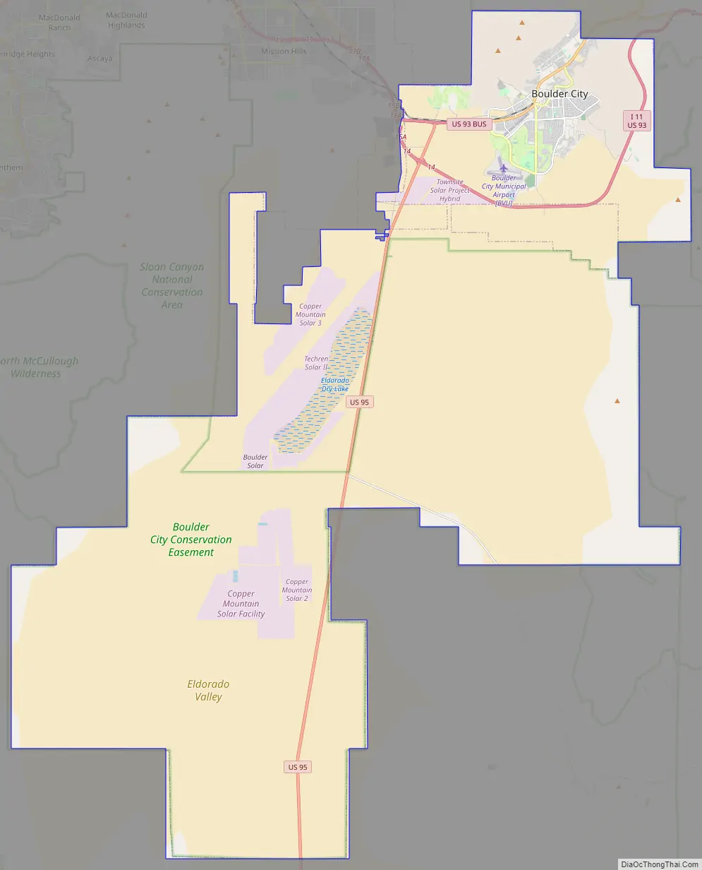
Boulder City city Satellite Map

Geography
According to the United States Census Bureau, the city has a total area of 208.6 square miles (540.2 km), of which 0.039 square miles (0.1 km), or 0.02%, is water. This ranks Boulder City as the largest city in Nevada by land area and 35th in the country, but gives it a low density rate of only about 72 people per square mile.
Boulder City maintains strict controls on growth, limited to 120 single- or multi-family residential building permits for new construction per year. Hotels are also restricted to no more than 35 rooms. These restrictions are defined in the city code of Boulder City.
Climate
According to the Köppen climate classification system, Boulder City has a hot desert climate (Köppen type BWh)
See also
Map of Nevada State and its subdivision: Map of other states:- Alabama
- Alaska
- Arizona
- Arkansas
- California
- Colorado
- Connecticut
- Delaware
- District of Columbia
- Florida
- Georgia
- Hawaii
- Idaho
- Illinois
- Indiana
- Iowa
- Kansas
- Kentucky
- Louisiana
- Maine
- Maryland
- Massachusetts
- Michigan
- Minnesota
- Mississippi
- Missouri
- Montana
- Nebraska
- Nevada
- New Hampshire
- New Jersey
- New Mexico
- New York
- North Carolina
- North Dakota
- Ohio
- Oklahoma
- Oregon
- Pennsylvania
- Rhode Island
- South Carolina
- South Dakota
- Tennessee
- Texas
- Utah
- Vermont
- Virginia
- Washington
- West Virginia
- Wisconsin
- Wyoming