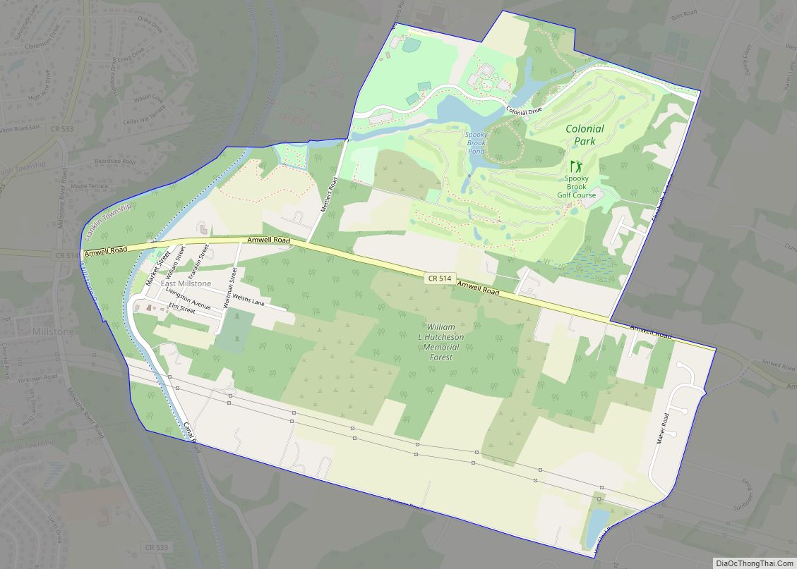
East Millstone is an unincorporated community and census-designated place (CDP) located in Franklin Township in Somerset County, New Jersey. As of the 2010 U.S. census, the CDP’s population was 579. It is a small rural community that grew and prospered with a small industrial base in the 19th Century, centered on the Delaware and Raritan ... Read more
New Jersey Cities and Places
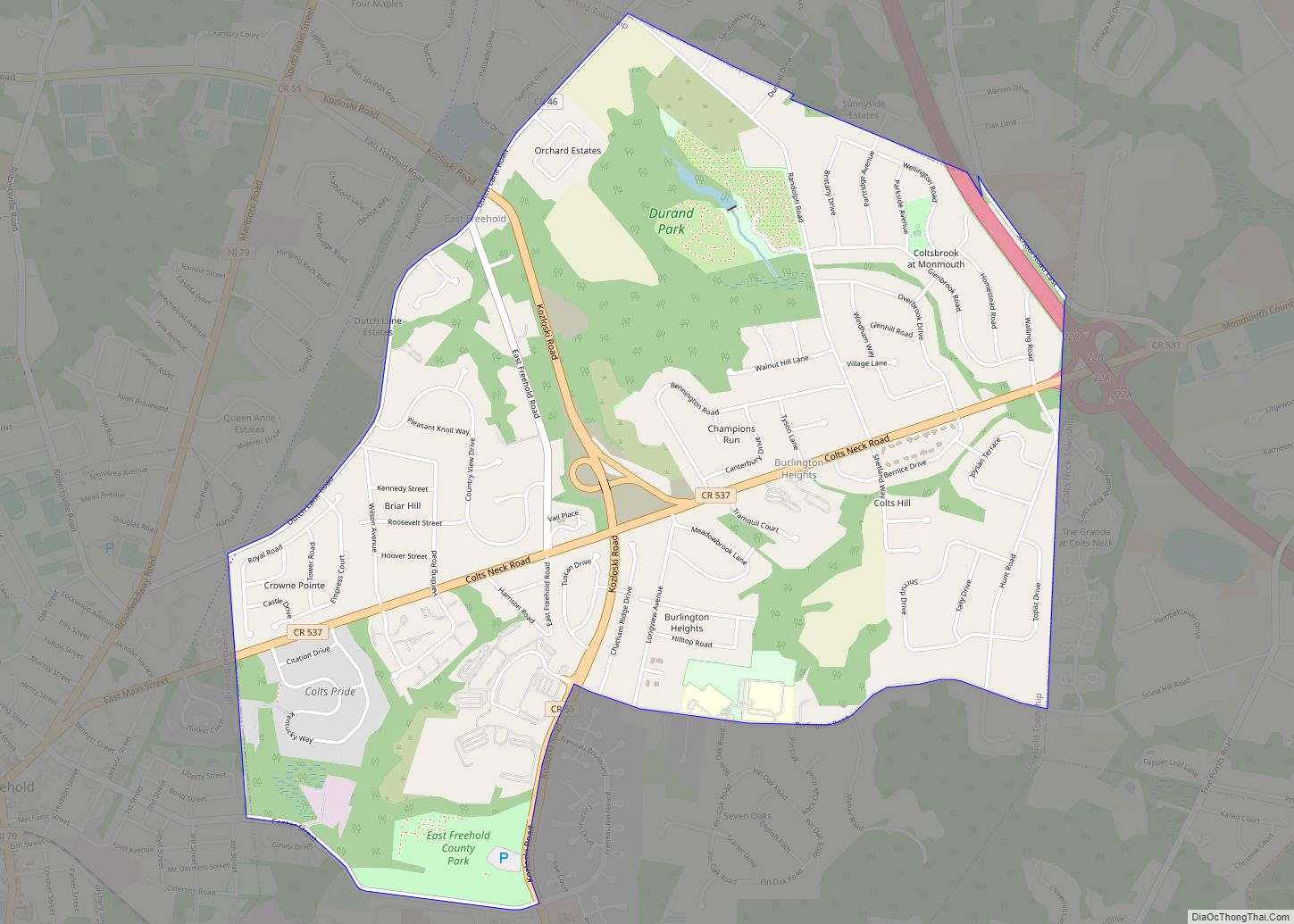
East Freehold is an unincorporated community and census-designated place (CDP) located within Freehold Township, in Monmouth County, New Jersey, United States. As of the 2010 United States Census, the CDP’s population was 4,894. East Freehold CDP overview: Name: East Freehold CDP LSAD Code: 57 LSAD Description: CDP (suffix) State: New Jersey County: Monmouth County Elevation: ... Read more
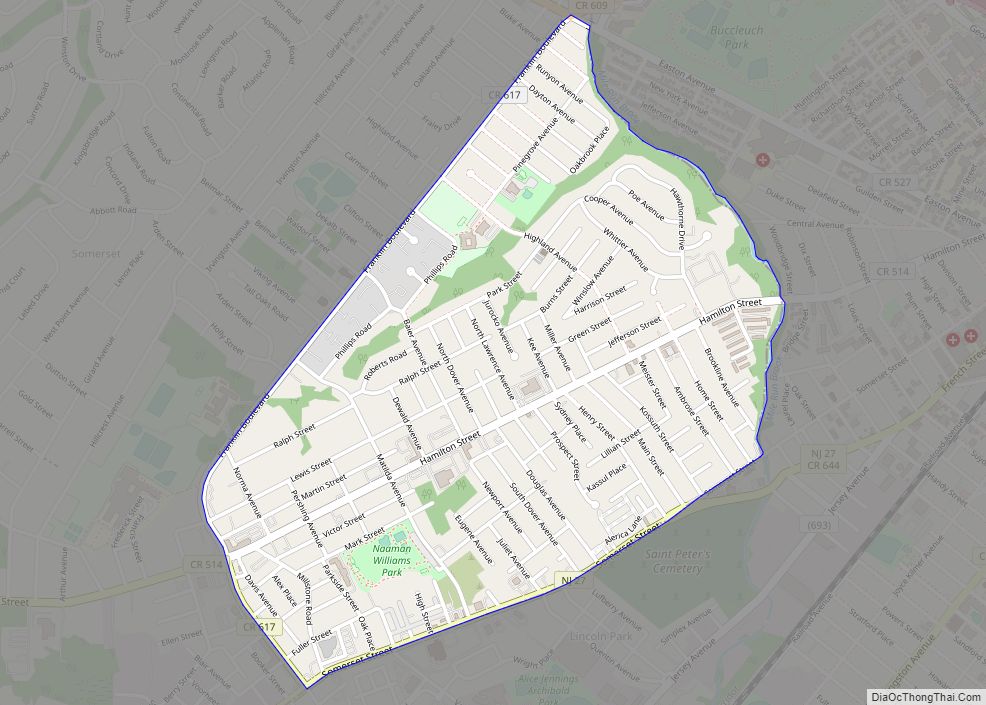
East Franklin is an unincorporated community and census-designated place (CDP) located in Franklin Township, in Somerset County, New Jersey, United States. At the 2010 United States Census, East Franklin’s population was 8,669. East Franklin CDP overview: Name: East Franklin CDP LSAD Code: 57 LSAD Description: CDP (suffix) State: New Jersey County: Somerset County Elevation: 115 ft ... Read more
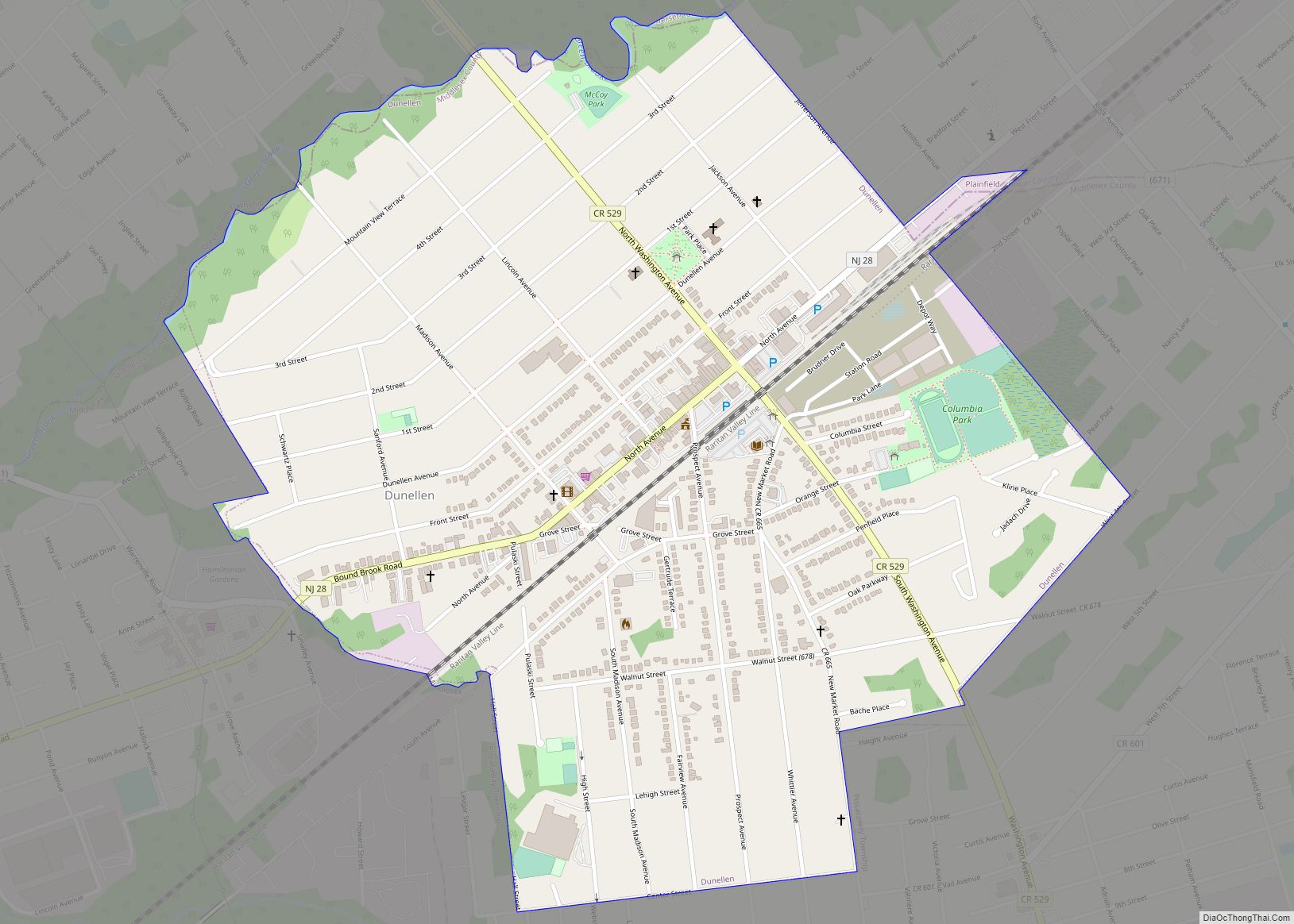
Dunellen (/dʌ.nɛl.ən/) is a borough in Middlesex County, in the U.S. state of New Jersey. It is located within the Raritan Valley region. As of the 2020 United States census, the borough’s population was 7,637, an increase of 410 (+5.7%) from the 2010 census count of 7,227, which in turn reflected an increase of 404 ... Read more
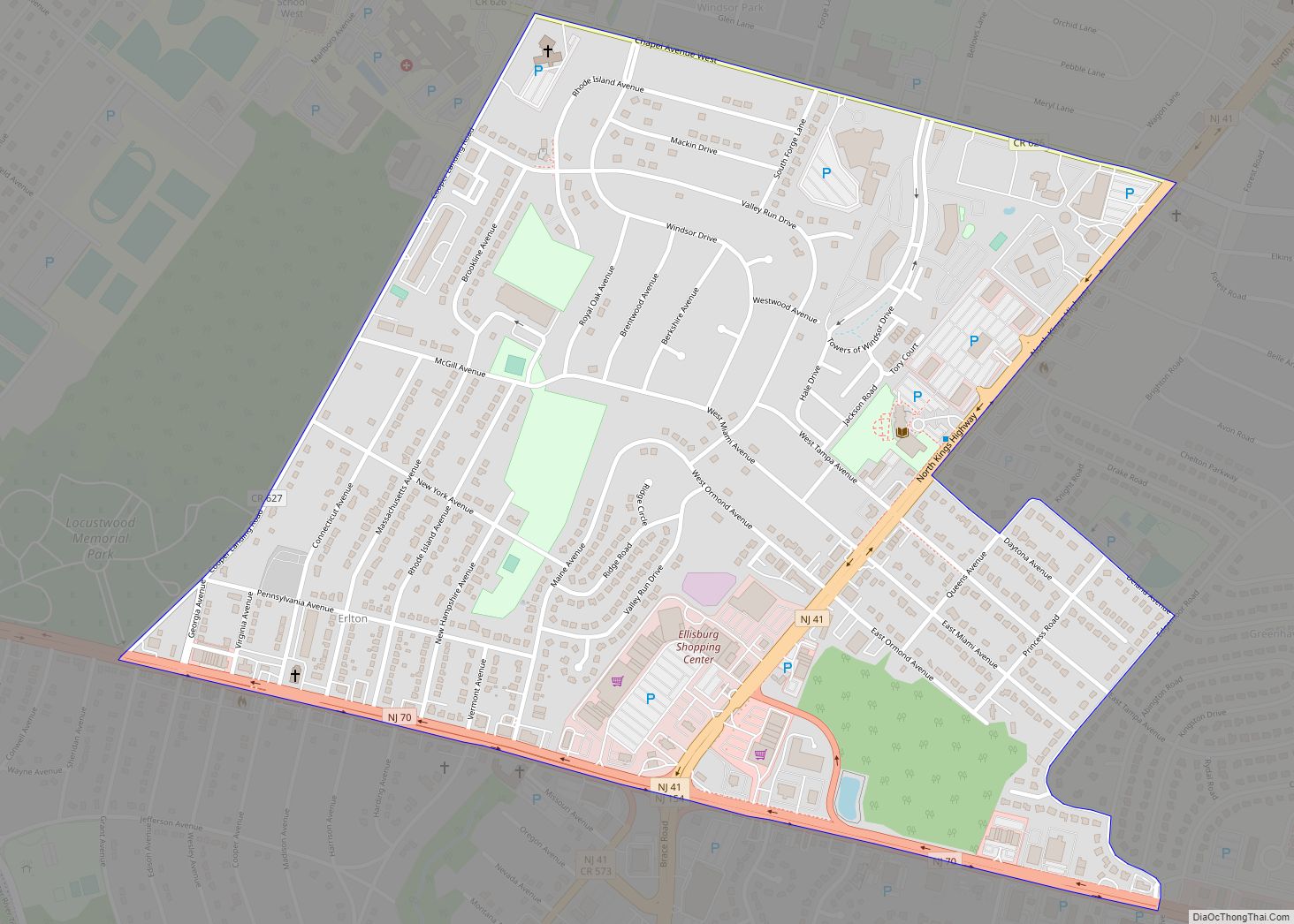
Ellisburg is an unincorporated community and census-designated place (CDP) located within Cherry Hill Township, in Camden County, New Jersey, United States. As of the 2010 United States Census, the CDP’s population was 8,168. The area had been part of the combined Erlton-Ellisburg CDP, which was discontinued after the 2000 Census. Ellisburg CDP overview: Name: Ellisburg ... Read more
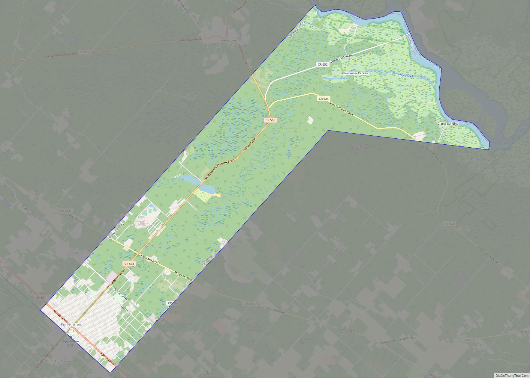
Egg Harbor City is a city in Atlantic County, in the U.S. state of New Jersey. The city, and all of Atlantic County, is part of the Atlantic City–Hammonton metropolitan statistical area, which in turn is included in the Philadelphia–Reading–Camden combined statistical area and the Delaware Valley. As of the 2020 United States census, the ... Read more
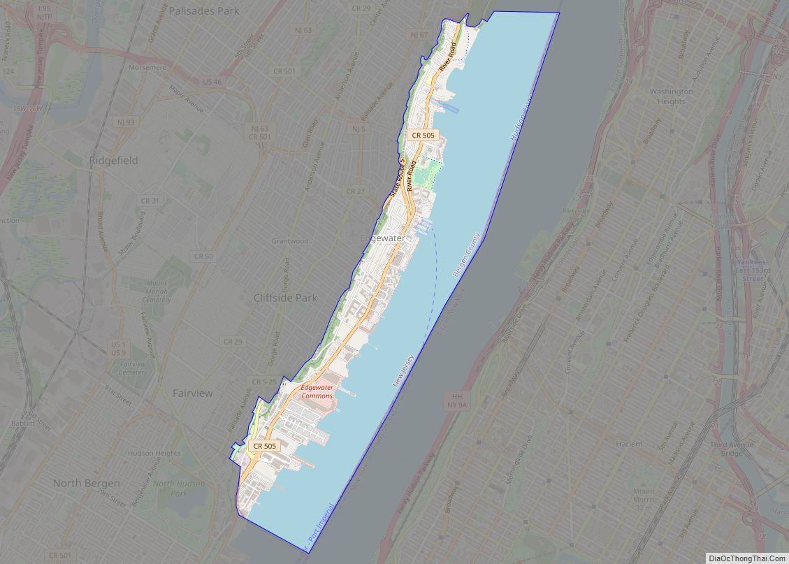
Edgewater is a borough located along the Hudson River in Bergen County, in the U.S. state of New Jersey. As of the 2020 United States census, the borough’s population was 14,336, an increase of 2,823 (+24.5%) from the 2010 census count of 11,513, which in turn reflected an increase of 3,836 (+50.0%) from the 7,677 ... Read more
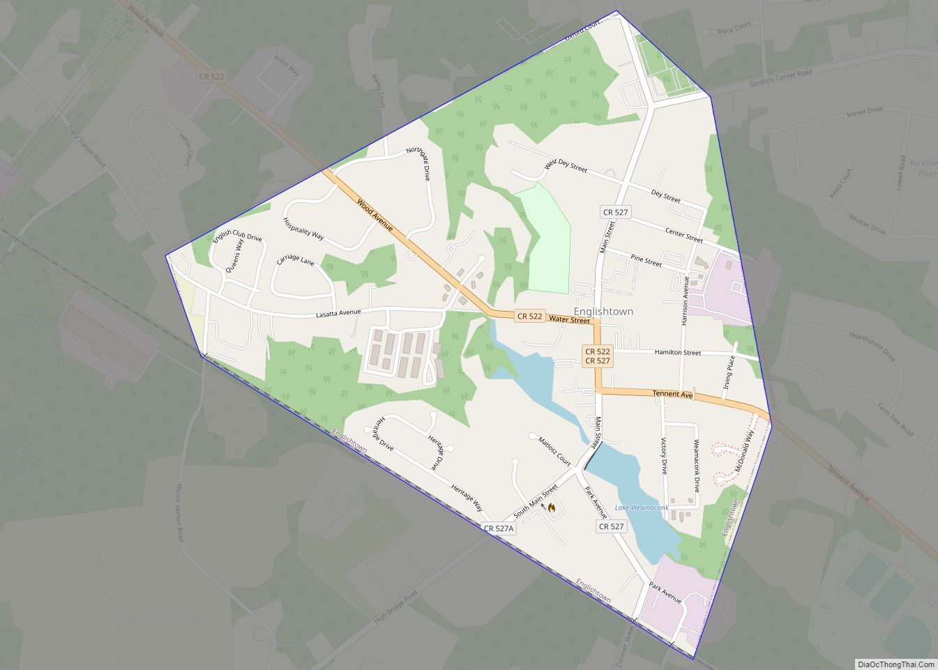
Englishtown is a rapidly growing borough in western Monmouth County, in the U.S. state of New Jersey. The community is located within the Raritan Valley region. As of the 2020 United States census, the borough’s population was 2,346, its highest decennial count ever and an increase of 499 (+27.0%) from the 2010 census count of ... Read more
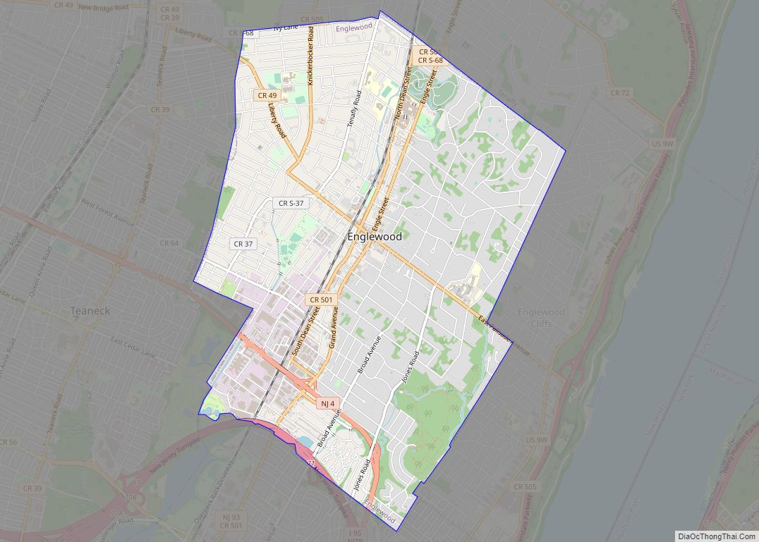
Englewood is a city in Bergen County, in the U.S. state of New Jersey. Englewood was incorporated as a city by an act of the New Jersey Legislature on March 17, 1899, from portions of Ridgefield Township and the remaining portions of Englewood Township. As of the 2020 United States census, the city’s population was ... Read more
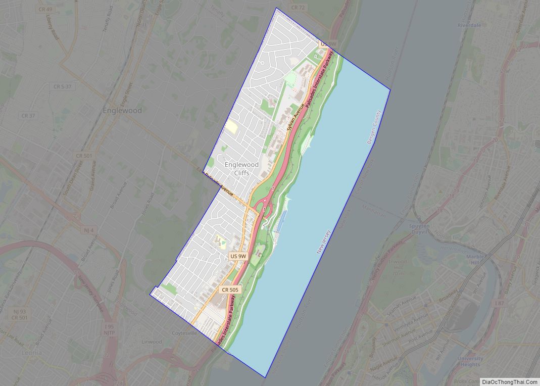
Englewood Cliffs is a borough in Bergen County, in the U.S. state of New Jersey. As of the 2020 United States census, the borough’s population was 5,342, an increase of 61 (+1.2%) from the 2010 census count of 5,281, which in turn reflected a decline of 41 (-0.8%) from the 5,322 counted in the 2000 ... Read more
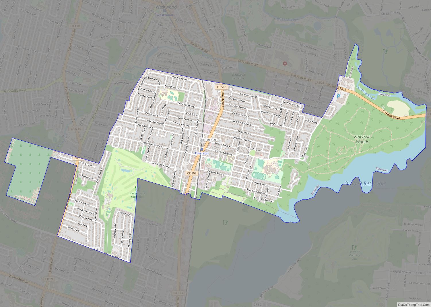
Emerson is a borough in Bergen County, in the U.S. state of New Jersey, a suburb in the New York City metropolitan area. Emerson is the most southern municipality in an area of the county known as the Pascack Valley. As of the 2020 United States census, the borough’s population was 7,290, a decrease of ... Read more
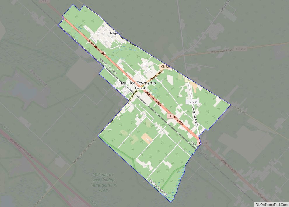
Elwood is an unincorporated community and census-designated place (CDP) located within Mullica Township in Atlantic County, New Jersey, United States. As of the 2010 United States Census, the CDP’s population was 1,437. At previous censuses, the area was listed by the U.S. Census Bureau as the Elwood-Magnolia CDP. The area is served as United States ... Read more
