Englewood is a city in Bergen County, in the U.S. state of New Jersey. Englewood was incorporated as a city by an act of the New Jersey Legislature on March 17, 1899, from portions of Ridgefield Township and the remaining portions of Englewood Township. As of the 2020 United States census, the city’s population was 29,308, its highest decennial count ever and an increase of 2,161 (+8.0%) from the 2010 census count of 27,147, which in turn reflected an increase of 944 (+3.6%) from the 26,203 counted in the 2000 census.
| Name: | Englewood city |
|---|---|
| LSAD Code: | 25 |
| LSAD Description: | city (suffix) |
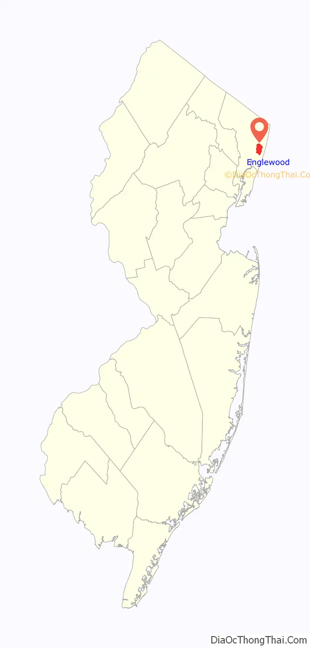
| State: | New Jersey |
| County: | Bergen County |
| Incorporated: | March 17, 1899 |
| Elevation: | 43 ft (13 m) |
| Total Area: | 4.95 sq mi (12.82 km²) |
| Land Area: | 4.92 sq mi (12.76 km²) |
| Water Area: | 0.02 sq mi (0.06 km²) 0.46% |
| Total Population: | 29,308 |
| Population Density: | 5,950.9/sq mi (2,297.7/km²) |
| ZIP code: | 07631 |
| Area code: | 201 |
| FIPS code: | 3421480 |
| GNISfeature ID: | 0885209 |
| Website: | www.cityofenglewood.org |
Online Interactive Map
Click on ![]() to view map in "full screen" mode.
to view map in "full screen" mode.
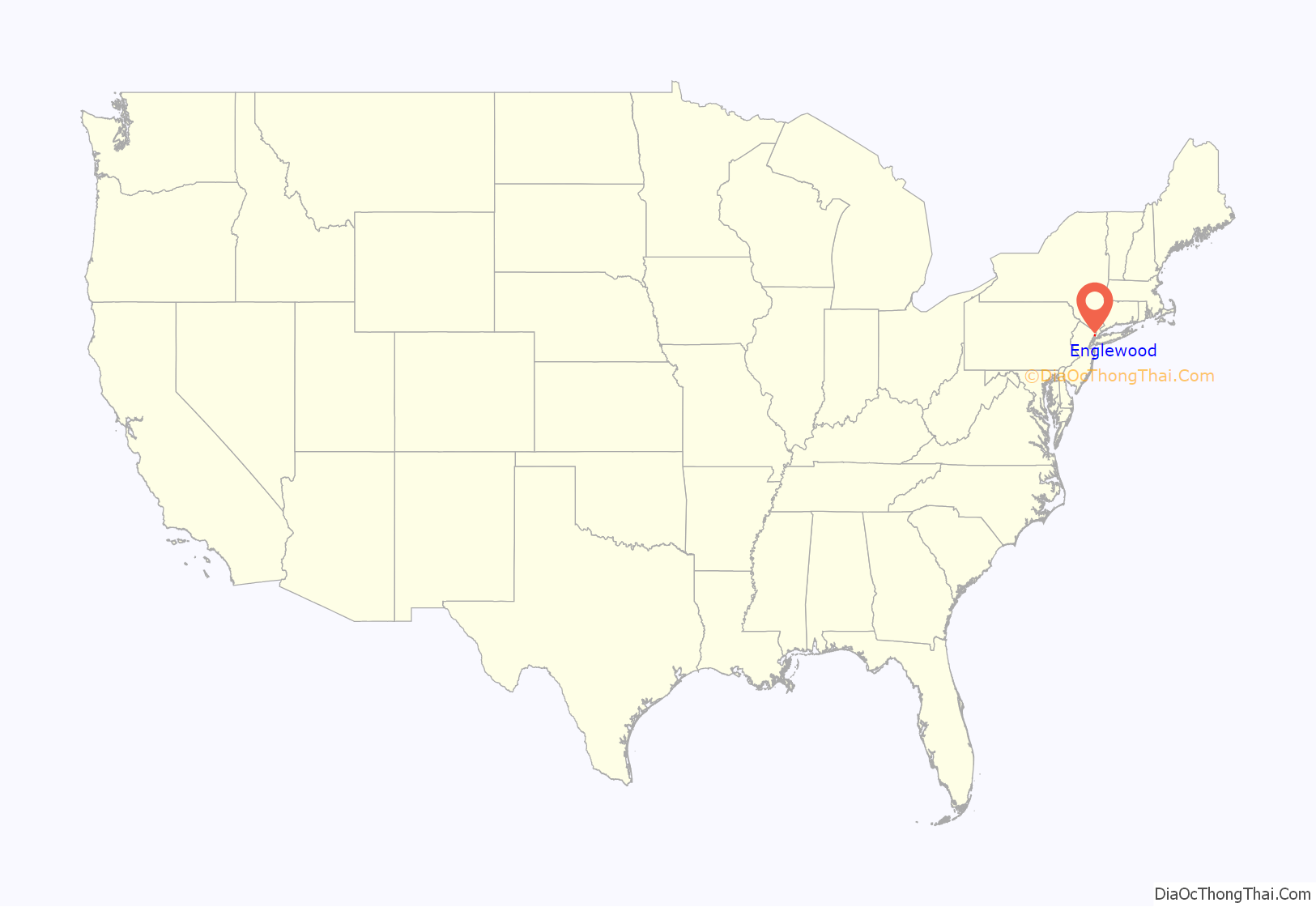
Englewood location map. Where is Englewood city?
History
Etymology
Englewood Township, the city’s predecessor, is believed to have been named in 1859 for the Engle family. The community had been called the “English Neighborhood”, as the first primarily English-speaking settlement on the New Jersey side of the Hudson River after New Netherland was annexed by England in 1664, though other sources mention the Engle family and the heavily forested areas of the community as the derivation of the name. Other sources indicate that the name is derived from “wood ingle”, meaning “woody nook”, or that the name was coined anew.
Numerous other settlements in the United States were named for Englewood as settlement in North America expanded westward. J. Wyman Jones is credited with convincing residents to choose Englewood for the city’s name when it was incorporated over such alternatives as “Brayton” and “Paliscena”.
Pre-Colonial and Colonial era
Englewood, like the rest of New Jersey, was populated by Lenape Native Americans prior to European colonization. The Lenape who lived in the Englewood region were of the “turtle clan” which used a stylized turtle as its symbol. 2,000 Lenape originally lived in Englewood, but due to conflicts with the Europeans their population dwindled down to 50 by 1832.
When Henry Hudson sailed up what would become known as the Hudson River in 1607, he claimed the entirety of the watershed of the river, including Englewood, for the Netherlands, making the future region of Englewood a part of New Netherland. However, the region remained largely unsettled under Dutch rule as the Dutch did little to encourage settlement north of modern Hudson County, as the imposing New Jersey Palisades blocked expansion on the west bank of the Hudson.
In 1664, after the Dutch surrendered all of New Netherland to England, the rate of settlement picked up. The English were generous with land grants, and many families, not only English but also Dutch and Huguenot, settled the area, which during the colonial era was known as the English Neighborhood. Street names in Englewood still recall the relative diversity of its earliest settlers; Brinckerhoff, Van Brunt, Lydecker, Van Nostrand and Durie (Duryea), all Dutch; Demarest (de Marais), DeMott and Lozier (Le Sueur), French Huguenot; and Moore, Lawrence, Cole and Day, English.
Historical notes
From 1906 until March 16, 1907, when it burned down, Englewood was the site of Upton Sinclair’s socialist-inflected intentional community, the Helicon Home Colony. Associated with the project were Charlotte Perkins Gilman and Sinclair Lewis.
Direct distance dialing, which allowed callers to reach other users outside their local calling area without operator assistance, was introduced to the public in Englewood. On November 10, 1951, Englewood Mayor M. Leslie Denning made the first customer-dialed long-distance call, to Mayor Frank Osborne of Alameda, California. As of that date, customers of the Englewood 3, Englewood 4 and Teaneck 7 exchanges, who could already dial some exchanges in the New York City area, were able to dial 11 cities across the United States by dialing the three-digit area code preceding the local number.
Two years after his graduation from Fordham University, Vince Lombardi began his football coaching career at Englewood’s St. Cecilia High School, which closed in 1986.
The Sugarhill Gang recorded “Rapper’s Delight” in 1979, the first hip hop single to become a Top 40 hit.
Historic sites
Sites in the city listed on the National Register of Historic Places include:
- John G. Benson House (at 60 Grand Avenue; added January 9, 1983)
- Thomas Demarest House (at 370 Grand Avenue; added January 9, 1983)
- Garret Lydecker House (at 228 Grand Avenue; added January 9, 1983)
- St. Paul’s Episcopal Church (at 113 Engle Street; added May 5, 2014)
- Peter Westervelt House and Barn (at 290 Grand Avenue; added March 19, 1975)
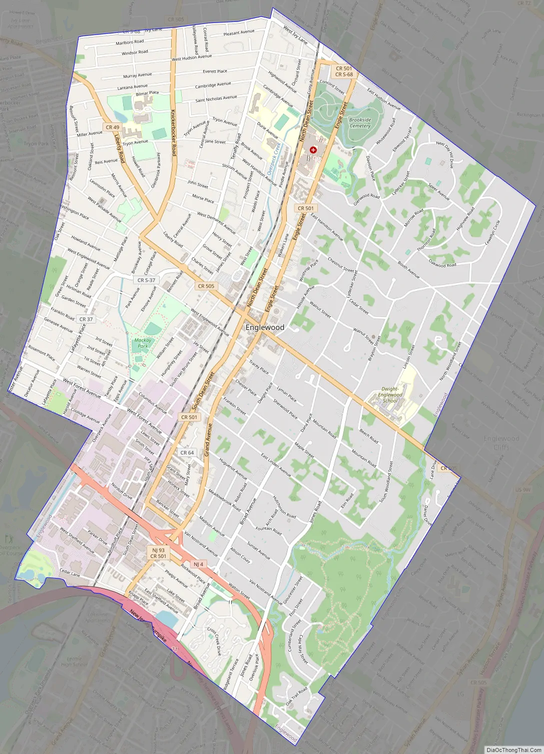
Englewood Road Map
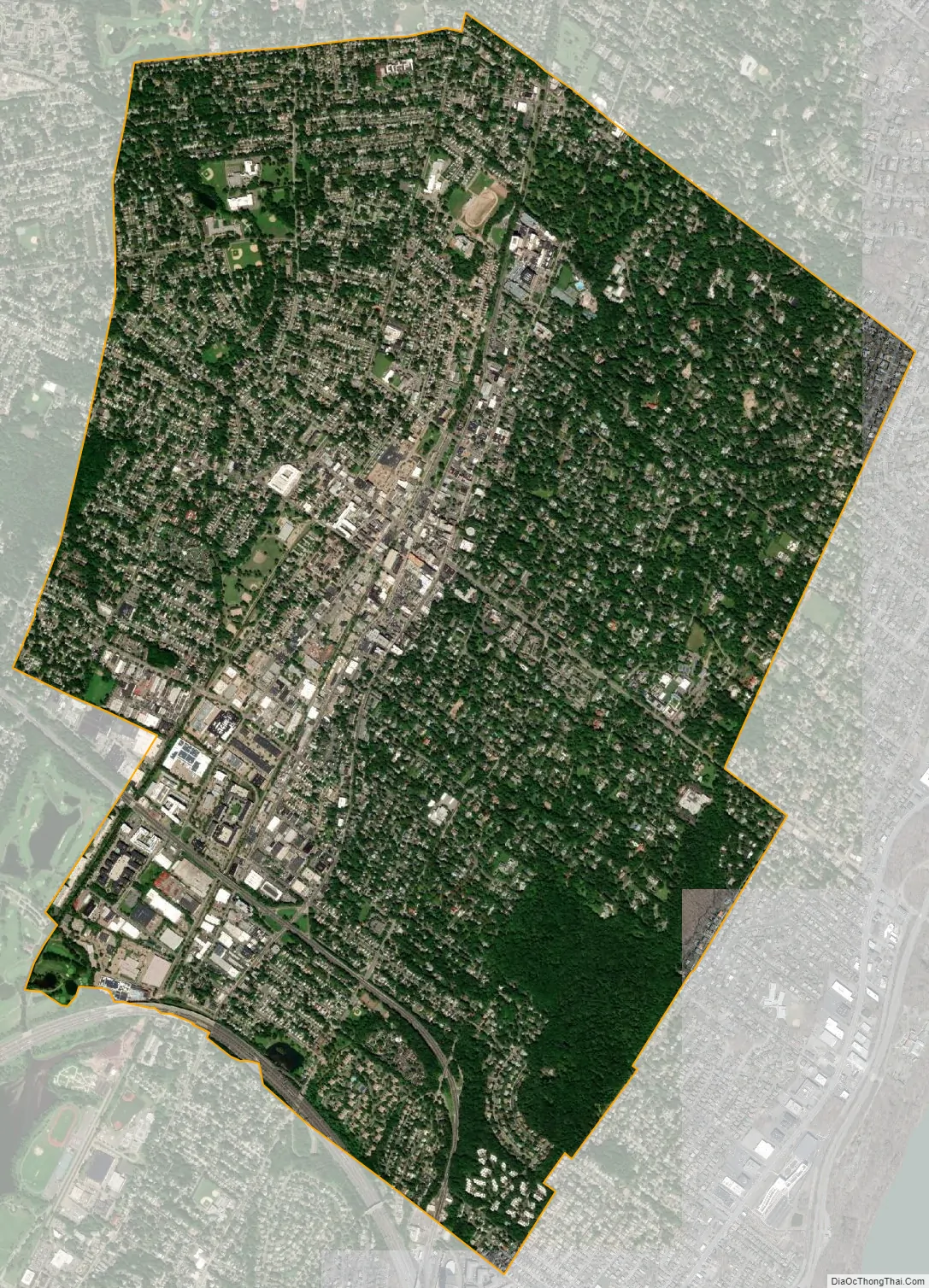
Englewood city Satellite Map
Geography
According to the United States Census Bureau, the city had a total area of 4.95 square miles (12.82 km), including 4.93 square miles (12.76 km) of land and 0.02 square miles (0.06 km) of water (0.46%).
Unincorporated communities, localities and place names located partially or completely within the city include Highwood.
The city borders the Bergen County municipalities of Bergenfield, Englewood Cliffs, Fort Lee, Leonia, Teaneck and Tenafly.
See also
Map of New Jersey State and its subdivision: Map of other states:- Alabama
- Alaska
- Arizona
- Arkansas
- California
- Colorado
- Connecticut
- Delaware
- District of Columbia
- Florida
- Georgia
- Hawaii
- Idaho
- Illinois
- Indiana
- Iowa
- Kansas
- Kentucky
- Louisiana
- Maine
- Maryland
- Massachusetts
- Michigan
- Minnesota
- Mississippi
- Missouri
- Montana
- Nebraska
- Nevada
- New Hampshire
- New Jersey
- New Mexico
- New York
- North Carolina
- North Dakota
- Ohio
- Oklahoma
- Oregon
- Pennsylvania
- Rhode Island
- South Carolina
- South Dakota
- Tennessee
- Texas
- Utah
- Vermont
- Virginia
- Washington
- West Virginia
- Wisconsin
- Wyoming


