Egg Harbor City is a city in Atlantic County, in the U.S. state of New Jersey. The city, and all of Atlantic County, is part of the Atlantic City–Hammonton metropolitan statistical area, which in turn is included in the Philadelphia–Reading–Camden combined statistical area and the Delaware Valley. As of the 2020 United States census, the city’s population was 4,396, an increase of 153 (+3.6%) from the 2010 census count of 4,243, which in turn reflected a decline of 302 (−6.6%) from the 4,545 counted in the 2000 census.
The city had the seventh-highest property tax rate in New Jersey, with an equalized rate of 5.044% in 2020, compared to 2.560% in the county as a whole and a statewide average of 2.279%.
| Name: | Egg Harbor City city |
|---|---|
| LSAD Code: | 25 |
| LSAD Description: | city (suffix) |
| State: | New Jersey |
| County: | Atlantic County |
| Incorporated: | June 14, 1858 |
| Elevation: | 13 ft (4 m) |
| Total Area: | 11.42 sq mi (29.58 km²) |
| Land Area: | 10.85 sq mi (28.10 km²) |
| Water Area: | 0.57 sq mi (1.48 km²) 4.99% |
| Total Population: | 4,396 |
| Population Density: | 405.1/sq mi (156.4/km²) |
| ZIP code: | 08215 |
| Area code: | 609 exchanges: 704, 726, 804, 965 |
| FIPS code: | 3420350 |
| GNISfeature ID: | 0876119 |
| Website: | www.eggharborcity.org |
Online Interactive Map
Click on ![]() to view map in "full screen" mode.
to view map in "full screen" mode.
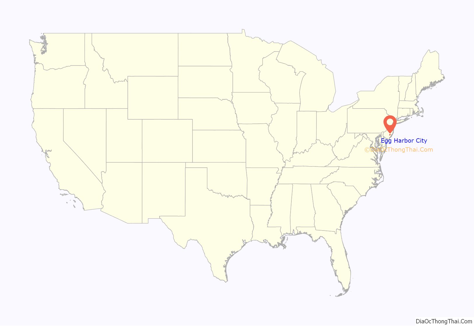
Egg Harbor City location map. Where is Egg Harbor City city?

History
The area home to Egg Harbor City was settled by Europeans in 1614, when the Dutch vessel Fortuyn landed at the Mullica River. The first settlers named the area “Eyren Haven” after the large number of gull eggs in the area.
In 1854, the Camden and Atlantic Railroad opened. On December 14, 1854, a group of prominent German Americans from Philadelphia, including William and Henry Schmoele and Philip Mathias Wolsieffer, incorporated the “Gloucester Farm and Town Association”, which purchased approximately 38,000 acres of woodland north of the railroad to serve as a refuge for those being persecuted in the anti-immigrant violence known as the Know-Nothing movement. The corporation planned two cities: a four-square-mile city called “Pomona” closest to the railroad, and another city called “Gloucester” to the north. However, the twin city scheme was dropped in favor of one seven-mile-long metropolis called “Egg Harbor City”. The development’s layout contained an urban “city core” containing 100×150-foot lots bounded by New York Avenue to the west and Baltimore Avenue to the east, while the remainder of the land was divided into separate 20-acre farm parcels. The corporation issued stocks at $300 per share; with each share, stockholders would acquire one residential building lot and one farm parcel. The city was marketed heavily in cities containing large German American populations, including Baltimore, Buffalo, Cleveland, Milwaukee, and St. Louis.
The land was divided and plotted from the railroad north to the Mullica River, west ending at Hanover Avenue, and the easternmost land being the home of the present-day Stockton University. The north-south streets were named for cities with large German populations, while the east-west streets were named for notable Germans, starting with Agassiz Avenue (current-day White Horse Pike) to the south, and Zschokke Avenue to the north. The city was planned to include ample public green space; both New York Avenue and Baltimore Avenue were platted with wide medians to accommodate garden plats, Landing Creek would have been dammed to create an artificial lake called “Gloucester Lake”, and Egg Harbor City Lake would have been made into a reservoir at the center of a large urban park containing landscaped gardens, an arboretum, and a model farm. The Mullica River was proposed to be made navigable for commercial vessels, and the northern edge of the street grid along the river was to contain canals and wharfs for ships to dock.
Egg Harbor City was officially incorporated as a city by an Act of the New Jersey Legislature on June 14, 1858, from portions of Galloway Township and Mullica Township. The city was reincorporated on February 13, 1868. The city’s growth was slowed due to an economic crisis in 1857, and then further during the Civil War. Though the city did not grow to the size as originally proposed, it grew in population steadily in the 1870s, and remained a virtual island of German language and culture in South Jersey for more than 50 years.
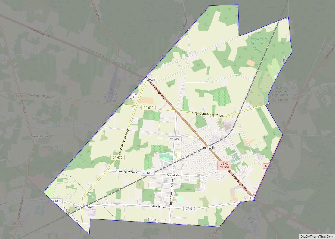
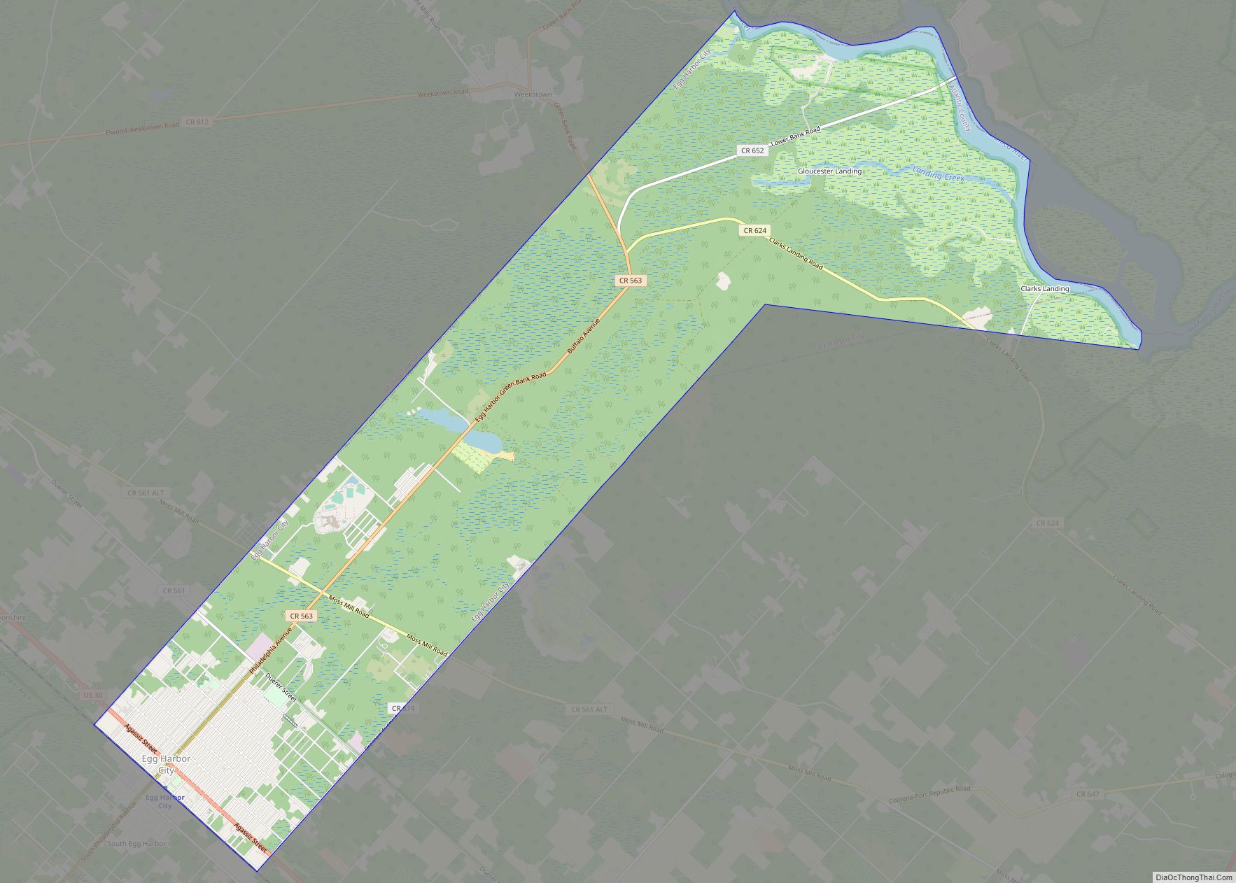
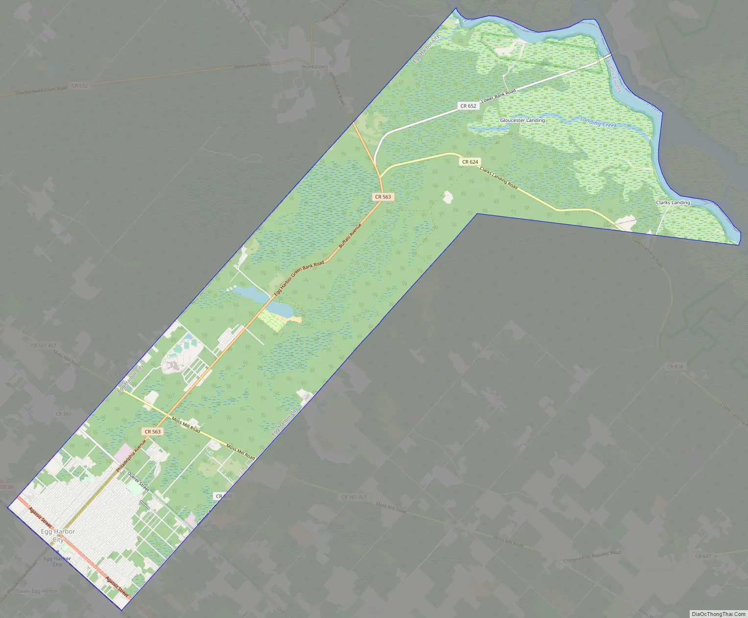
Egg Harbor City Road Map
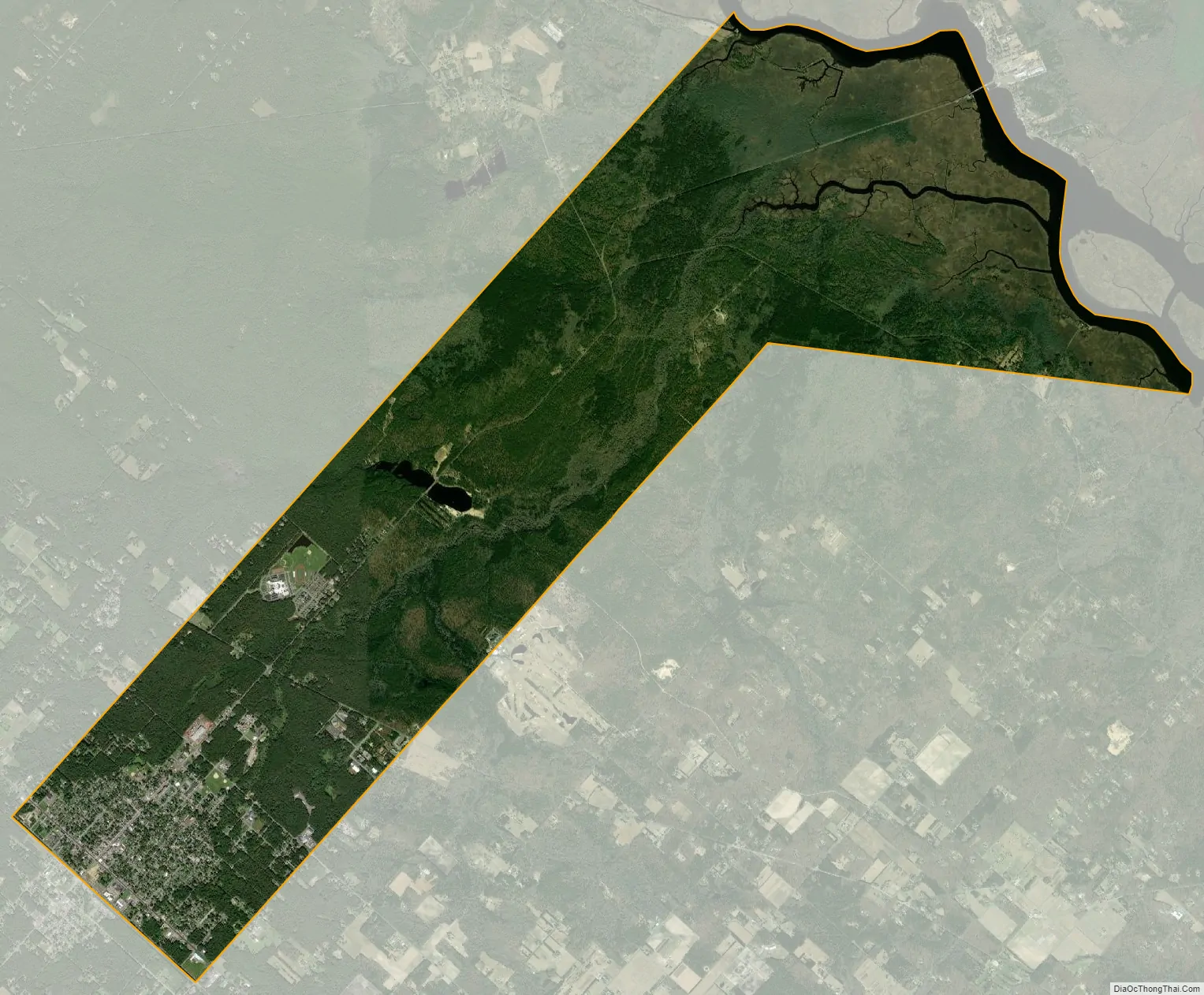
Egg Harbor City city Satellite Map
Geography
According to the United States Census Bureau, the city had a total area of 11.42 square miles (29.58 km), including 10.85 square miles (28.10 km) of land and 0.57 square miles (1.48 km) of water (4.99%).
Unincorporated communities, localities and place names located partially or completely within the township include Clarks Landing, Gloucester Furnace and Gloucester Lake.
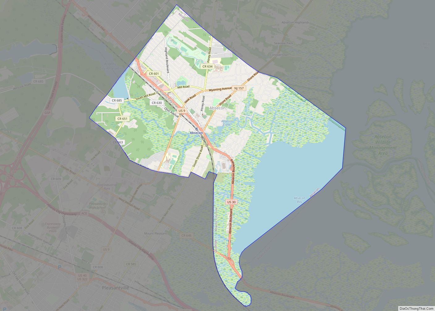
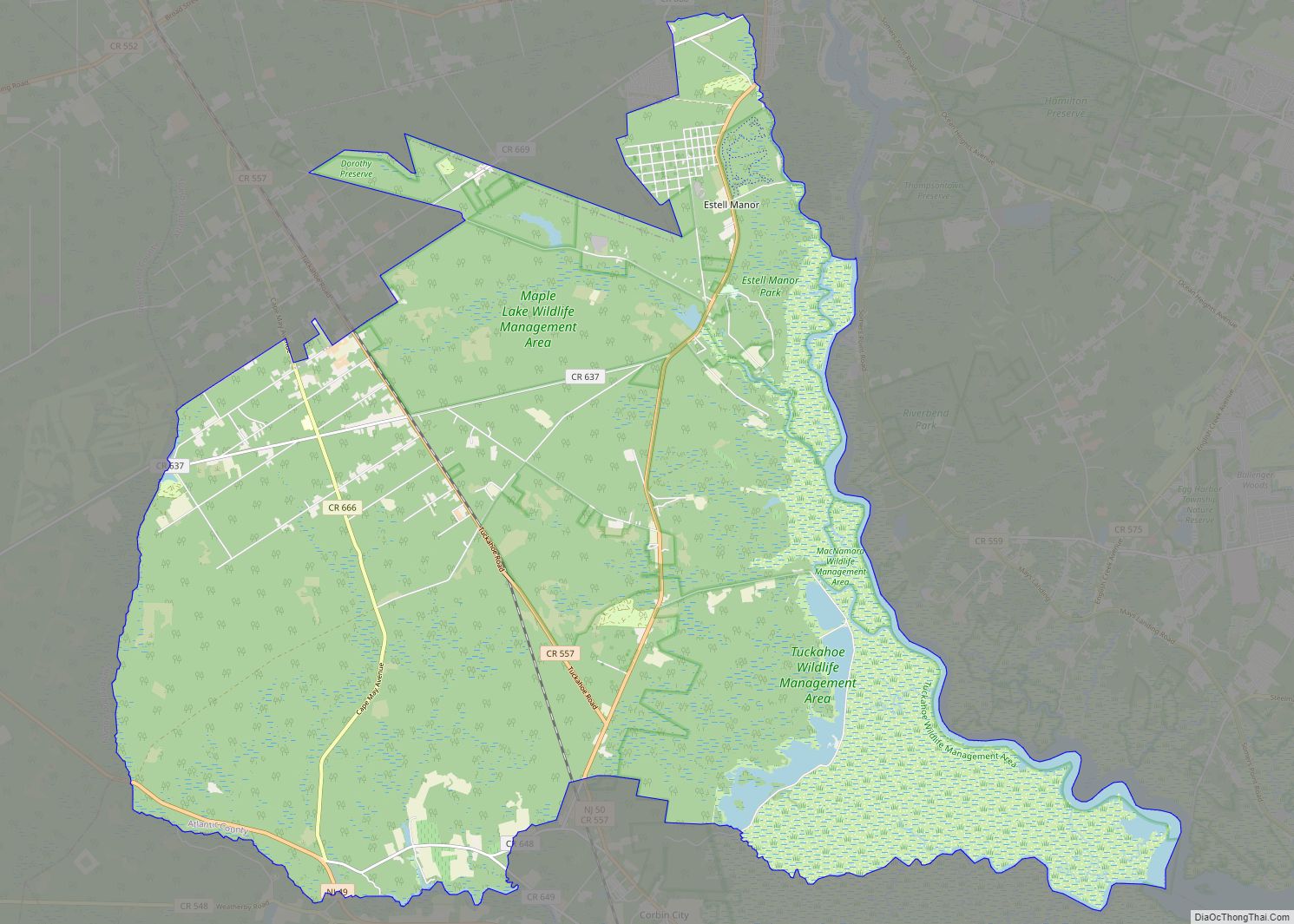
The city borders the municipalities of Galloway Township and Mullica Township in Atlantic County; and Washington Township in Burlington County.
The city is one of 56 South Jersey municipalities that are included within the New Jersey Pinelands National Reserve, a protected natural area of unique ecology covering 1,100,000 acres (450,000 ha), that has been classified as a United States Biosphere Reserve and established by Congress in 1978 as the nation’s first National Reserve. All of the city is included in the state-designated Pinelands Area, which includes portions of Atlantic County, along with areas in Burlington, Camden, Cape May, Cumberland, Gloucester and Ocean counties.
See also
Map of New Jersey State and its subdivision: Map of other states:- Alabama
- Alaska
- Arizona
- Arkansas
- California
- Colorado
- Connecticut
- Delaware
- District of Columbia
- Florida
- Georgia
- Hawaii
- Idaho
- Illinois
- Indiana
- Iowa
- Kansas
- Kentucky
- Louisiana
- Maine
- Maryland
- Massachusetts
- Michigan
- Minnesota
- Mississippi
- Missouri
- Montana
- Nebraska
- Nevada
- New Hampshire
- New Jersey
- New Mexico
- New York
- North Carolina
- North Dakota
- Ohio
- Oklahoma
- Oregon
- Pennsylvania
- Rhode Island
- South Carolina
- South Dakota
- Tennessee
- Texas
- Utah
- Vermont
- Virginia
- Washington
- West Virginia
- Wisconsin
- Wyoming