Englewood Cliffs is a borough in Bergen County, in the U.S. state of New Jersey. As of the 2020 United States census, the borough’s population was 5,342, an increase of 61 (+1.2%) from the 2010 census count of 5,281, which in turn reflected a decline of 41 (-0.8%) from the 5,322 counted in the 2000 census.
The borough houses the world headquarters of CNBC (NBCUniversal), the North American headquarters of South Korean conglomerate LG Corp, and the American headquarters of global CPG conglomerate Unilever, and was home to both Ferrari and Maserati North America.
The borough was formed in 1895, having seceded from Englewood Township, with William Outis Allison serving as the new municipality’s first mayor, as part of the “Boroughitis” then sweeping Bergen County, with 26 boroughs formed in the county in 1894 alone.
| Name: | Englewood Cliffs borough |
|---|---|
| LSAD Code: | 21 |
| LSAD Description: | borough (suffix) |
| State: | New Jersey |
| County: | Bergen County |
| Incorporated: | May 10, 1895 |
| Elevation: | 318 ft (97 m) |
| Total Area: | 3.38 sq mi (8.74 km²) |
| Land Area: | 2.13 sq mi (5.51 km²) |
| Water Area: | 1.25 sq mi (3.24 km²) 36.91% |
| Total Population: | 5,342 |
| Population Density: | 2,512.7/sq mi (970.2/km²) |
| ZIP code: | 07632 |
| Area code: | 201 |
| FIPS code: | 3421510 |
| GNISfeature ID: | 0885210 |
| Website: | www.englewoodcliffsnj.org |
Online Interactive Map
Click on ![]() to view map in "full screen" mode.
to view map in "full screen" mode.
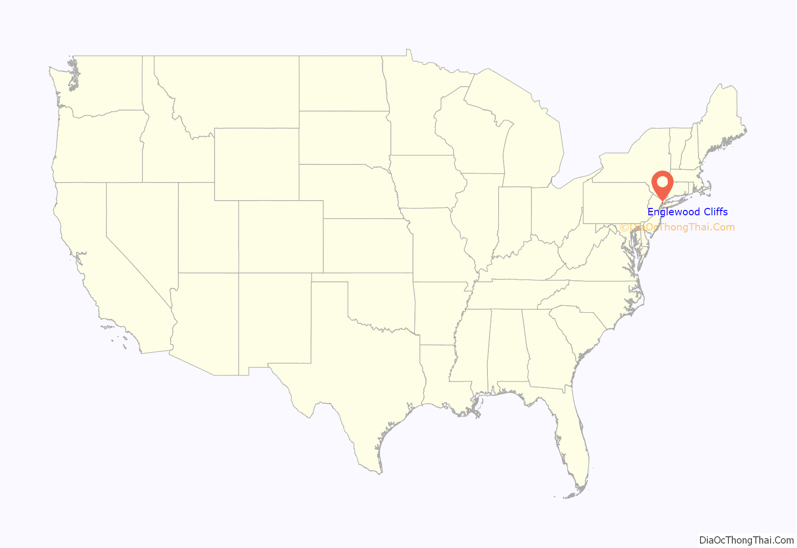
Englewood Cliffs location map. Where is Englewood Cliffs borough?
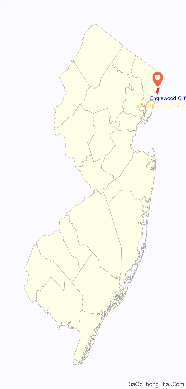
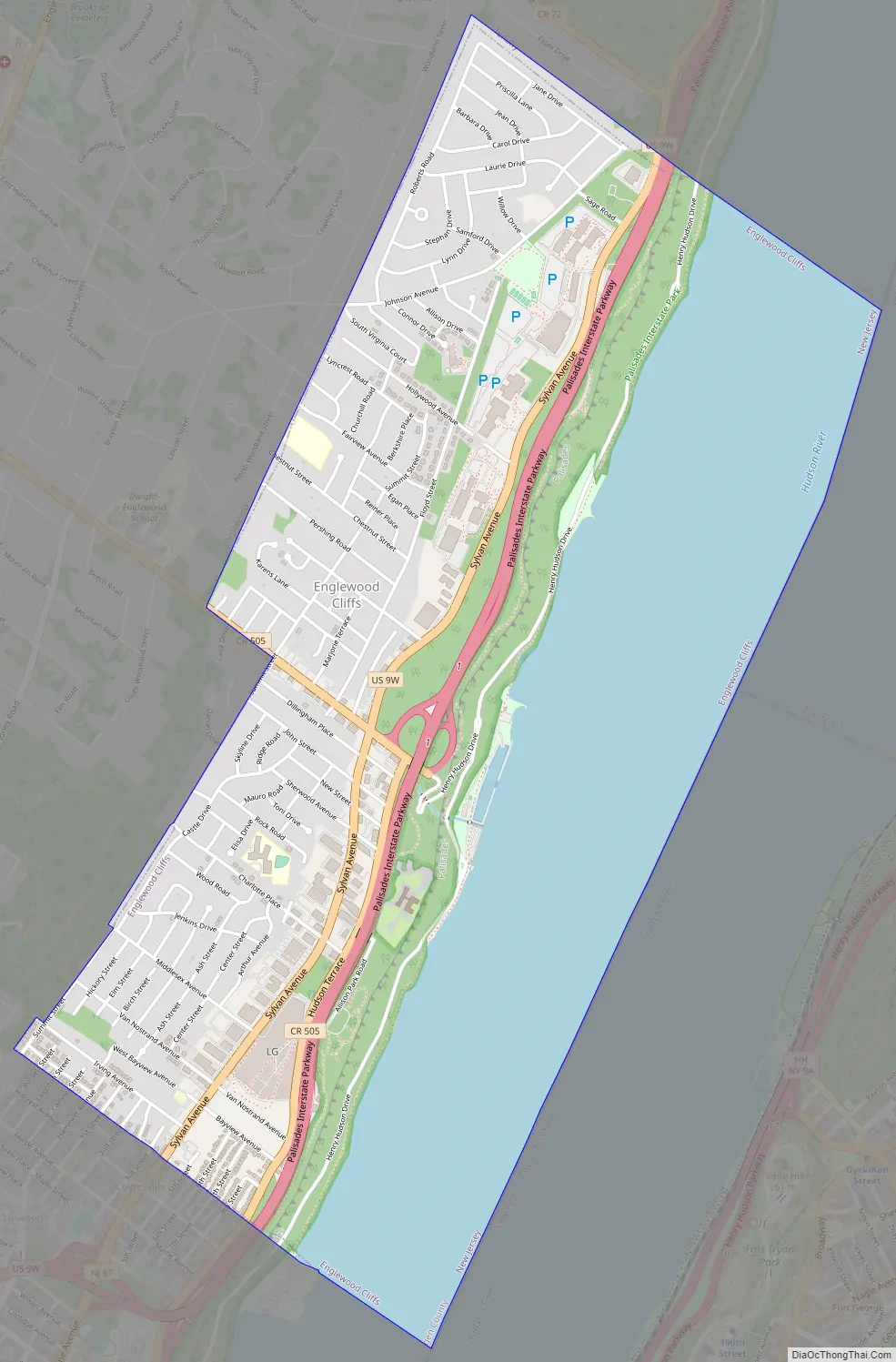
Englewood Cliffs Road Map
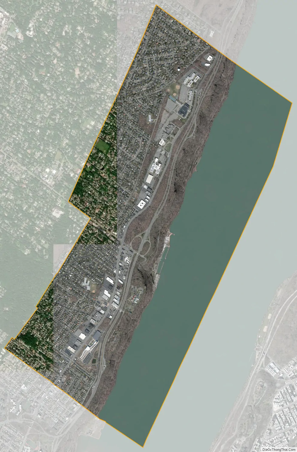
Englewood Cliffs city Satellite Map
Geography
According to the United States Census Bureau, the borough had a total area of 3.37 square miles (8.73 km), including 2.13 square miles (5.51 km) of land and 1.24 square miles (3.22 km) of water (36.91%).
The borough borders Englewood, Fort Lee and Tenafly in Bergen County, and the New York City boroughs of The Bronx and Manhattan across the Hudson River.
See also
Map of New Jersey State and its subdivision: Map of other states:- Alabama
- Alaska
- Arizona
- Arkansas
- California
- Colorado
- Connecticut
- Delaware
- District of Columbia
- Florida
- Georgia
- Hawaii
- Idaho
- Illinois
- Indiana
- Iowa
- Kansas
- Kentucky
- Louisiana
- Maine
- Maryland
- Massachusetts
- Michigan
- Minnesota
- Mississippi
- Missouri
- Montana
- Nebraska
- Nevada
- New Hampshire
- New Jersey
- New Mexico
- New York
- North Carolina
- North Dakota
- Ohio
- Oklahoma
- Oregon
- Pennsylvania
- Rhode Island
- South Carolina
- South Dakota
- Tennessee
- Texas
- Utah
- Vermont
- Virginia
- Washington
- West Virginia
- Wisconsin
- Wyoming


