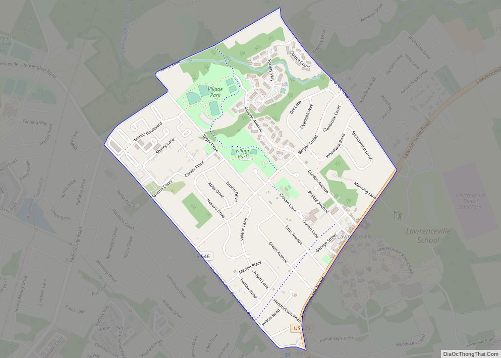
Lawrenceville is an unincorporated community and census-designated place (CDP) and a major commercial hub within Lawrence Township in Mercer County, New Jersey, United States. The community is situated roughly halfway between Princeton and Trenton, Although Lawrenceville constitutes part of the New York metropolitan area, the CDP actually is located approximately 15 miles closer to Philadelphia ... Read more
New Jersey Cities and Places
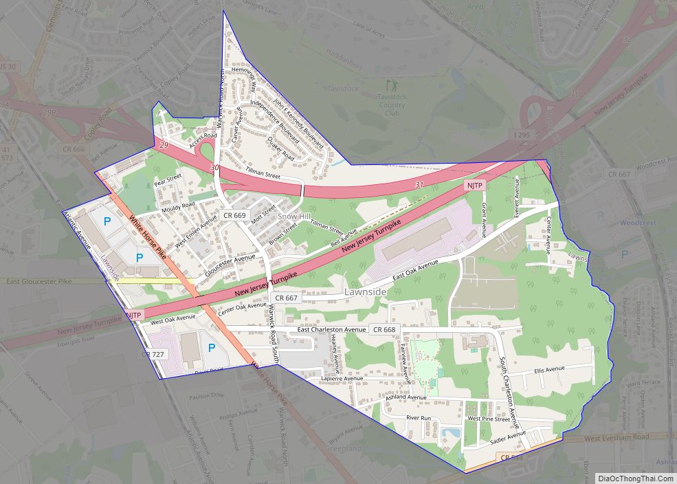
Lawnside is a borough in Camden County, in the U.S. state of New Jersey. Lawnside was developed in 1840 and incorporated in 1926 as the first independent, self-governing black municipality north of the Mason–Dixon line. The United Parcel Service has a large depot in the borough. As of the 2020 United States census, the borough’s ... Read more
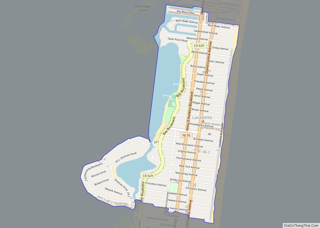
Lavallette is a borough situated on the Jersey Shore, in Ocean County, New Jersey, United States. As of the 2020 United States census, the borough’s population was 1,787, a decrease of 88 (−4.7%) from the 2010 census count of 1,875, which in turn had reflected a decline of 790 (−29.6%) from the 2,665 counted at ... Read more
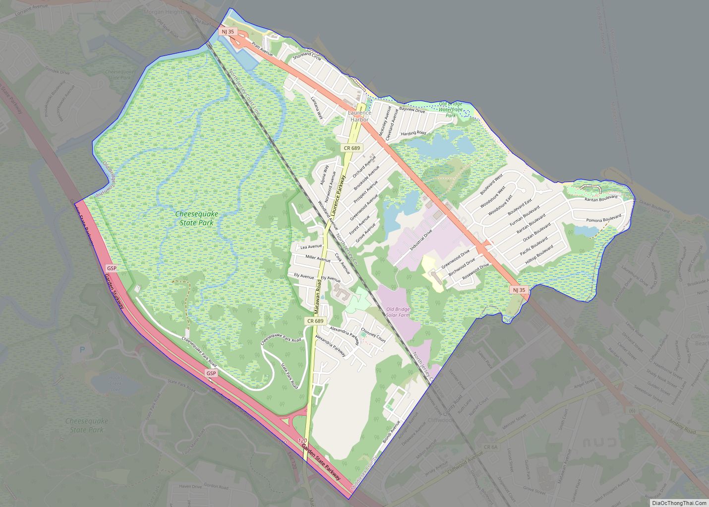
Laurence Harbor is an unincorporated community and census-designated place (CDP) located on the Raritan Bay within Old Bridge Township, in Middlesex County, New Jersey, United States. As of the 2020 United States census, the CDP’s population was 6,635, an increase of 99 (+1.5%) from the 6,536 recorded at the 2010 census, which in turn had ... Read more
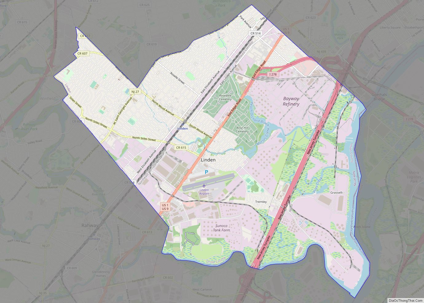
Linden is a city in southeastern Union County, in the U.S. state of New Jersey. It is part of the New York Metropolitan Area, located about 13 miles (21 km) southwest of Manhattan and bordering Staten Island, a borough of New York City, across the Arthur Kill. As of the 2020 United States census, the city’s ... Read more
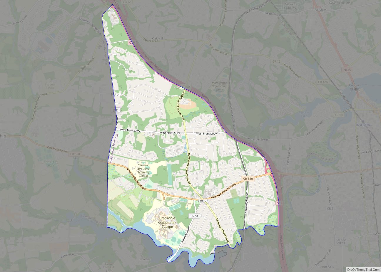
Lincroft is an unincorporated community and census-designated place (CDP) within Middletown Township, in Monmouth County, in the U.S. state of New Jersey. As of the 2020 United States Census, the CDP had a population of 7,060, teflecting a 15.1% increase from the 6,135 residents enumerated at the 2010 U.S. Census, in turn a decline of ... Read more
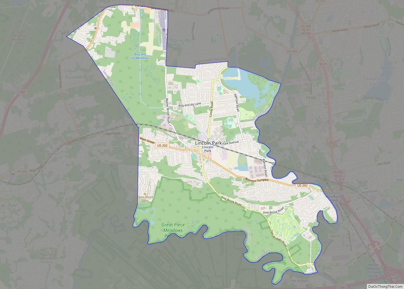
Lincoln Park is a borough in Morris County, in the U.S. state of New Jersey. As of the 2020 United States census, the borough’s population was 10,915, an increase of 394 (+3.7%) from the 2010 census count of 10,521, which in turn reflected a decline of 409 (−3.7%) from the 10,930 counted in the 2000 ... Read more
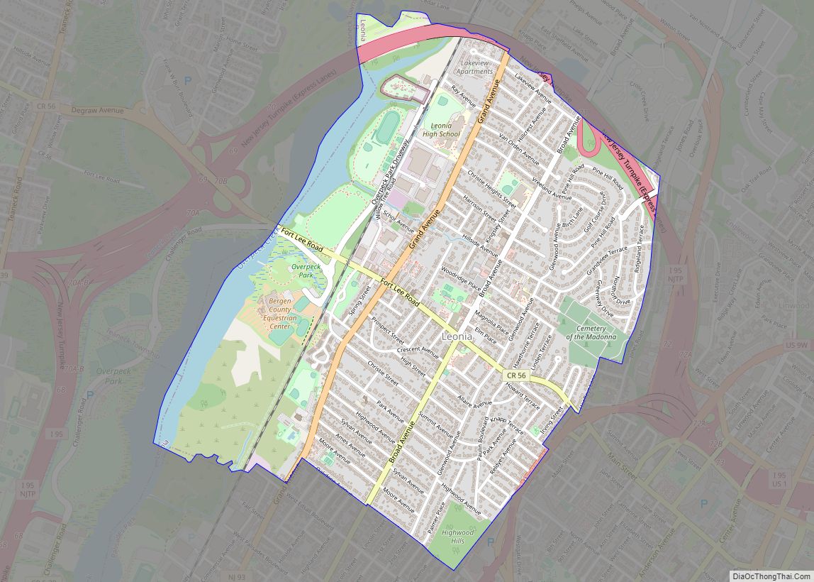
Leonia is a borough in Bergen County, in the U.S. state of New Jersey. As of the 2020 United States census, the borough’s population was 9,304, an increase of 367 (+4.1%) from the 2010 census count of 8,937, which in turn reflected an increase of 23 (+0.3%) from the 8,914 counted in the 2000 census. ... Read more
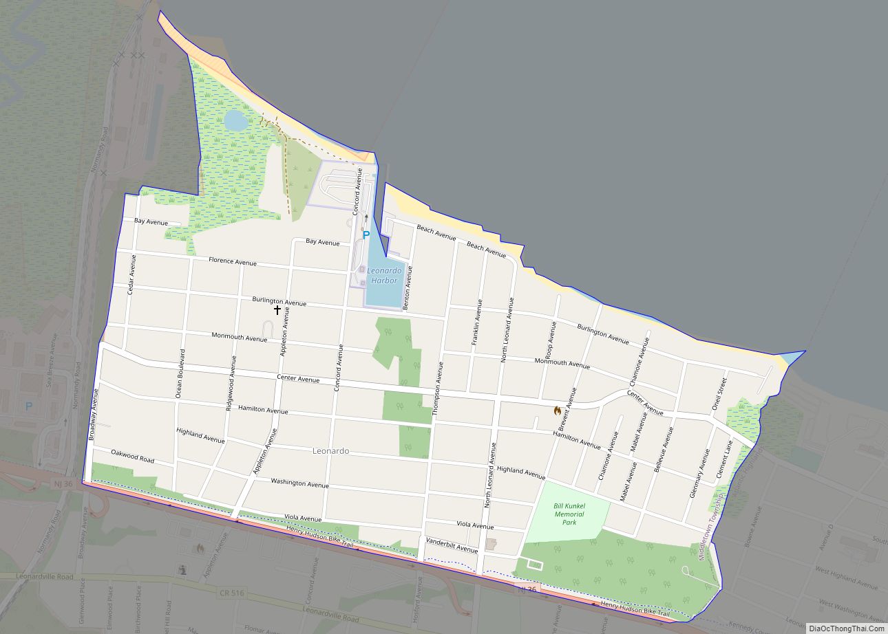
Leonardo is an unincorporated community and census-designated place (CDP) within Middletown Township, in Monmouth County, New Jersey, United States. As of the 2010 United States Census, the CDP’s population was 2,757. The ZIP code for Leonardo is 07737. Leonardo CDP overview: Name: Leonardo CDP LSAD Code: 57 LSAD Description: CDP (suffix) State: New Jersey County: ... Read more
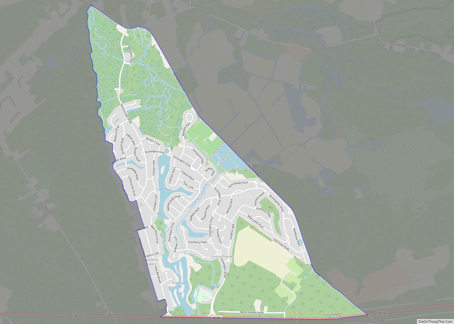
Leisuretowne is an unincorporated community and census-designated place (CDP) located within Southampton Township, in Burlington County, New Jersey, United States. As of the 2010 United States Census, the CDP’s population was 3,582. Leisuretowne is a retirement village, with a standing rule of having prospective residents reach the age of 55 before purchasing a home. Two ... Read more
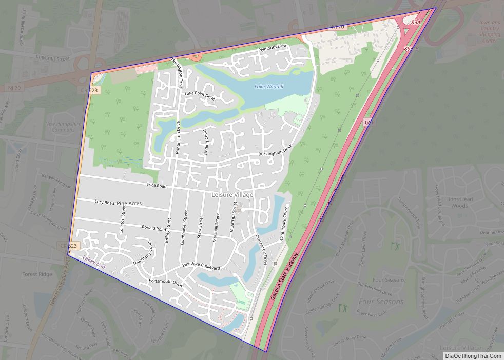
Leisure Village is an unincorporated community and census-designated place (CDP) located within Lakewood Township, in Ocean County, New Jersey, United States. As of the 2010 United States Census, the CDP’s population was 4,400. The sprawling active adult community is also locally known as “Original” Leisure Village because it was the first of three neighboring active ... Read more
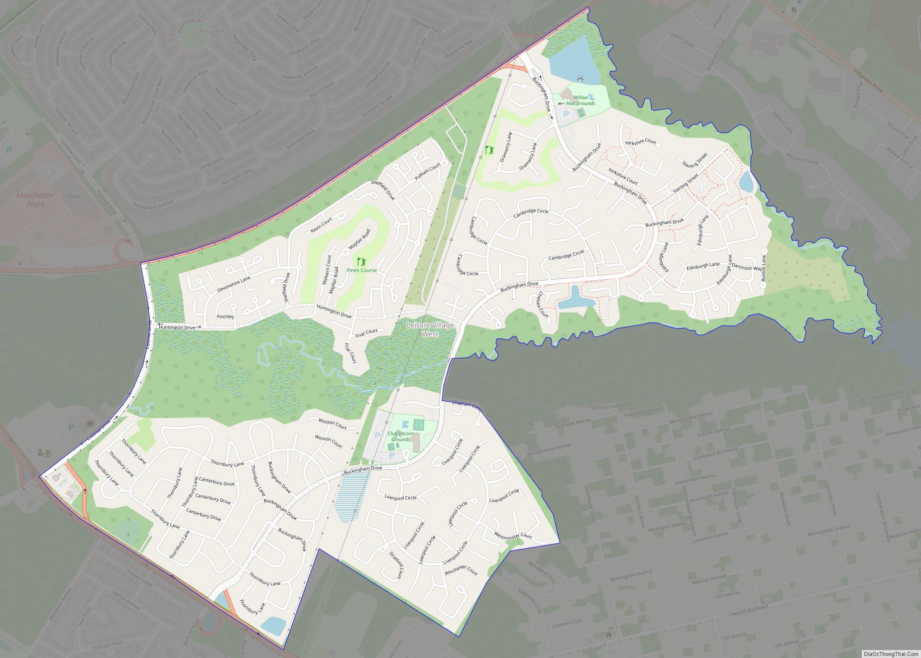
Leisure Village West is an unincorporated community and census-designated place (CDP) located within Manchester Township, in Ocean County, New Jersey, United States. Until the 2000 Census, the CDP had been part of the Leisure Village West-Pine Lake Park CDP, which was split for the 2010 enumeration into separate CDPs for Leisure Village West and Pine ... Read more
