Lawrenceville is an unincorporated community and census-designated place (CDP) and a major commercial hub within Lawrence Township in Mercer County, New Jersey, United States. The community is situated roughly halfway between Princeton and Trenton, Although Lawrenceville constitutes part of the New York metropolitan area, the CDP actually is located approximately 15 miles closer to Philadelphia than to New York City; and as with the remainder of Mercer County, lies within the Federal Communications Commission’s Philadelphia Designated Market Area. As of the 2020 United States census, the CDP’s population was 3,751, a decrease of 136 (−3.5%) from the 3,887 recorded at the 2010 census, which in turn had reflected a decrease of 194 (−4.8%) from the 4,081 counted at the 2000 census.
Lawrenceville is also known as the “village of Lawrenceville”. Its core is the Main Street Historic District, which was listed both in the New Jersey Register of Historic Places and National Register of Historic Places in 1972, and was one of the first registered historic districts in New Jersey.
| Name: | Lawrenceville CDP |
|---|---|
| LSAD Code: | 57 |
| LSAD Description: | CDP (suffix) |
| State: | New Jersey |
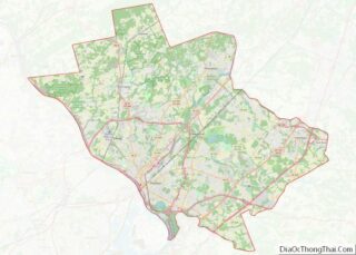
| County: | Mercer County |
| Elevation: | 184 ft (56 m) |
| Total Area: | 1.04 sq mi (2.70 km²) |
| Land Area: | 1.04 sq mi (2.70 km²) |
| Water Area: | 0.00 sq mi (0.00 km²) 0.09% |
| Total Population: | 3,751 |
| Population Density: | 3,606.7/sq mi (1,392.6/km²) |
| ZIP code: | 08648 – Lawrence Township |
| Area code: | 609 |
| FIPS code: | 3439570 |
| GNISfeature ID: | 02390044 |
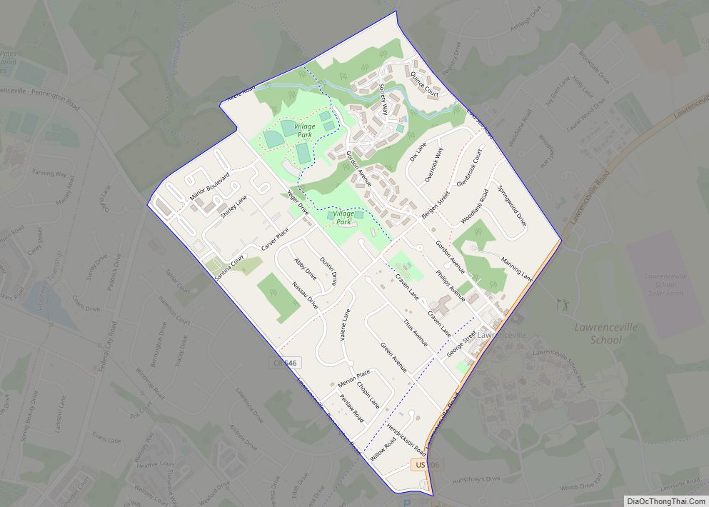
Online Interactive Map
Click on ![]() to view map in "full screen" mode.
to view map in "full screen" mode.
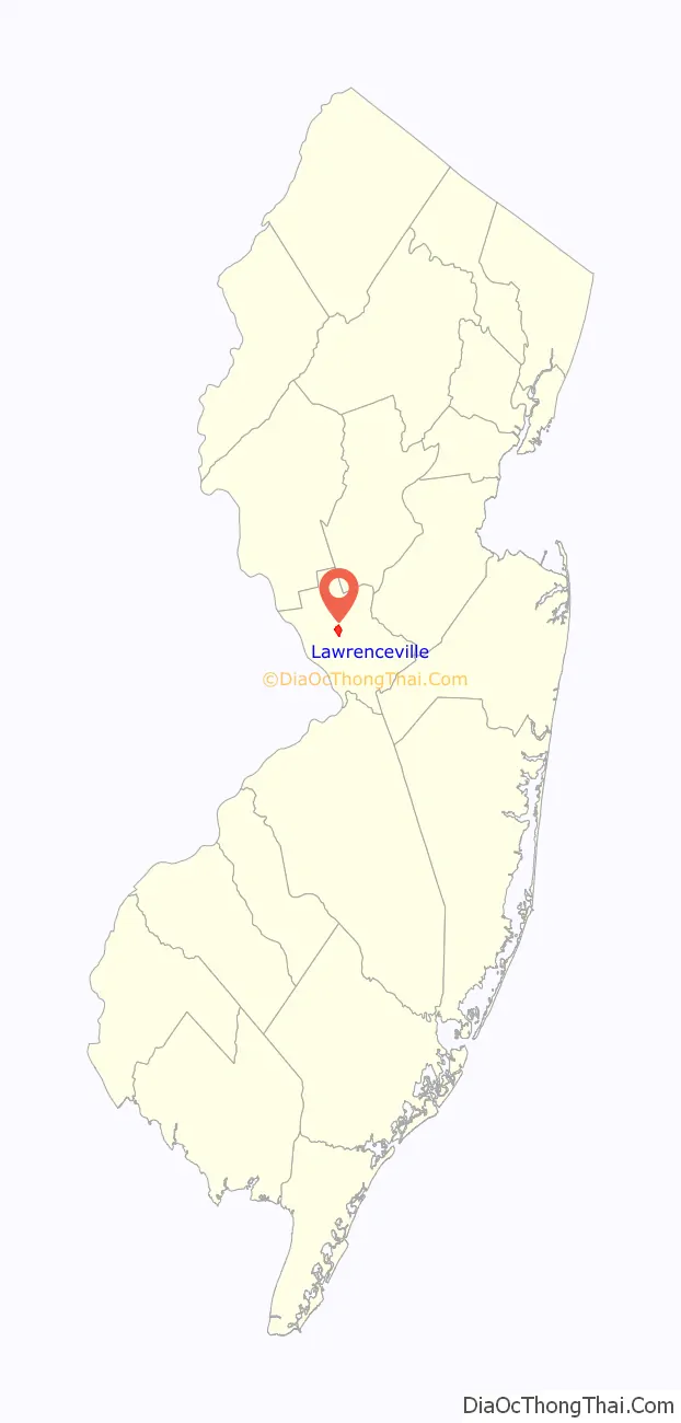
Lawrenceville location map. Where is Lawrenceville CDP?

History
Lawrenceville was founded as Maidenhead in 1697, as part of Burlington County in the colony of West Jersey. In 1714, the village became a part of Hunterdon County. In 1798, the New Jersey Legislature legally incorporated the Township of Maidenhead.
The village was originally named for Maidenhead, a historic English town on the Thames River, about 30 miles west from London. The Colonial Supreme Court at Burlington officially confirmed the name on February 20, 1697. “Maidenhead” derives from the Anglo Saxon word “Maidenhythe,” meaning “new wharf”, though it acquired a secondary meaning as a term for virginity.
The Rev. Issac V. Brown, the first full-time pastor of the Presbyterian Church of Lawrenceville and the founder of the Academy of Maidenhead (now the Lawrenceville School), led a movement to petition the Legislature to change the town’s name. The petition said “… it must be the wish of every good citizen… to be relieved of the necessity of using a term which may offend the delicacy of modesty, or disturb the feelings of seriousness, or excite the sneers of the willing”.
The Legislature officially changed the name from Maidenhead to Lawrence on January 24, 1816, at a meeting in John Moore’s Tavern. The township took its name from Captain James Lawrence, a naval hero of the War of 1812. The village was renamed Lawrenceville at the same time. In 1838, Mercer County was formed from parts of three counties, and Lawrence Township was included in the new County. The Township’s boundaries and geographic relationships have remained the same since that time.
During the American Revolutionary War, George Washington’s troops marched through Maidenhead after the Battle of Trenton (December 26, 1776) and the Battle of the Assunpink Creek (January 2, 1777), chasing British troops. They met at the Battle of Princeton on January 3, 1777, just over the township line, where the Princeton Battlefield State Park now stands.
Cornwallis stayed overnight in Maidenhead on December 8, 1776, en route to Trenton. Cornwallis recorded the moment in his diary, a portion of which was found years later in John Moore’s Tavern, which is now a residential house at 2695 Main Street. His opinion of the village was that “one night in Maidenhead was more than enough”.
When the Presbyterian Church of Lawrenceville was built in 1698, it was called the Meetinghouse of Maidenhead. It is still serving the community at 2688 Main Street.
Lawrenceville Road Map
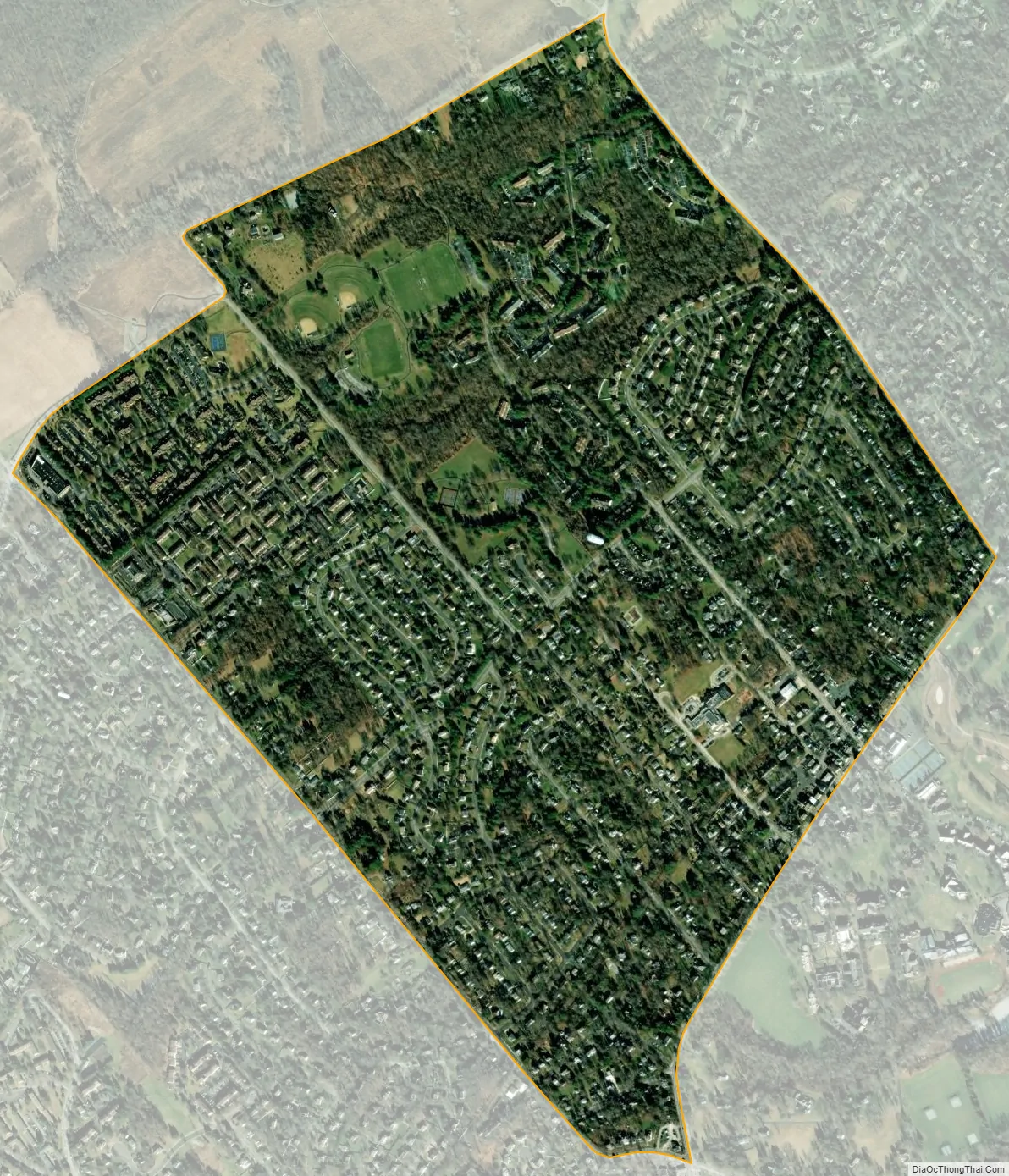
Lawrenceville city Satellite Map
Geography
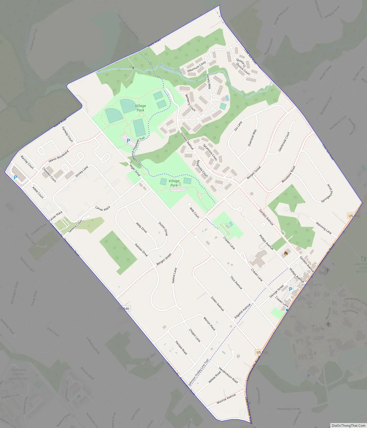
According to the United States Census Bureau, the CDP had a total area of 1.043 square miles (2.701 km), including 1.042 square miles (2.698 km) of land and 0.001 square miles (0.002 km) of water (0.09%).
U.S. Route 206 (US 206) changes its name from “Lawrenceville-Princeton Road” to “Main Street”, and then to “Lawrenceville-Trenton Road” in the center of Lawrenceville. The local historic district fronts along Main Street and US 206 stretch for more than two miles between Franklin Corner Road and an area slightly north of Fackler Road. Homes situated more than 250 feet from the road are excluded, however. One exception is the section of The Lawrenceville School known as the Circle and several other buildings in its vicinity, the oldest buildings on the campus. This area itself has been designated a National Historic Landmark.
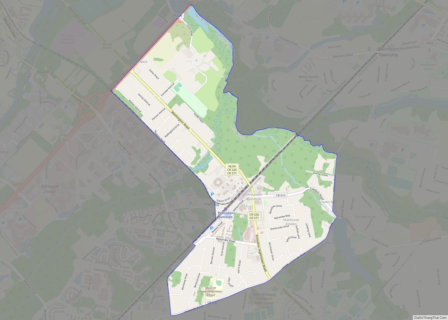
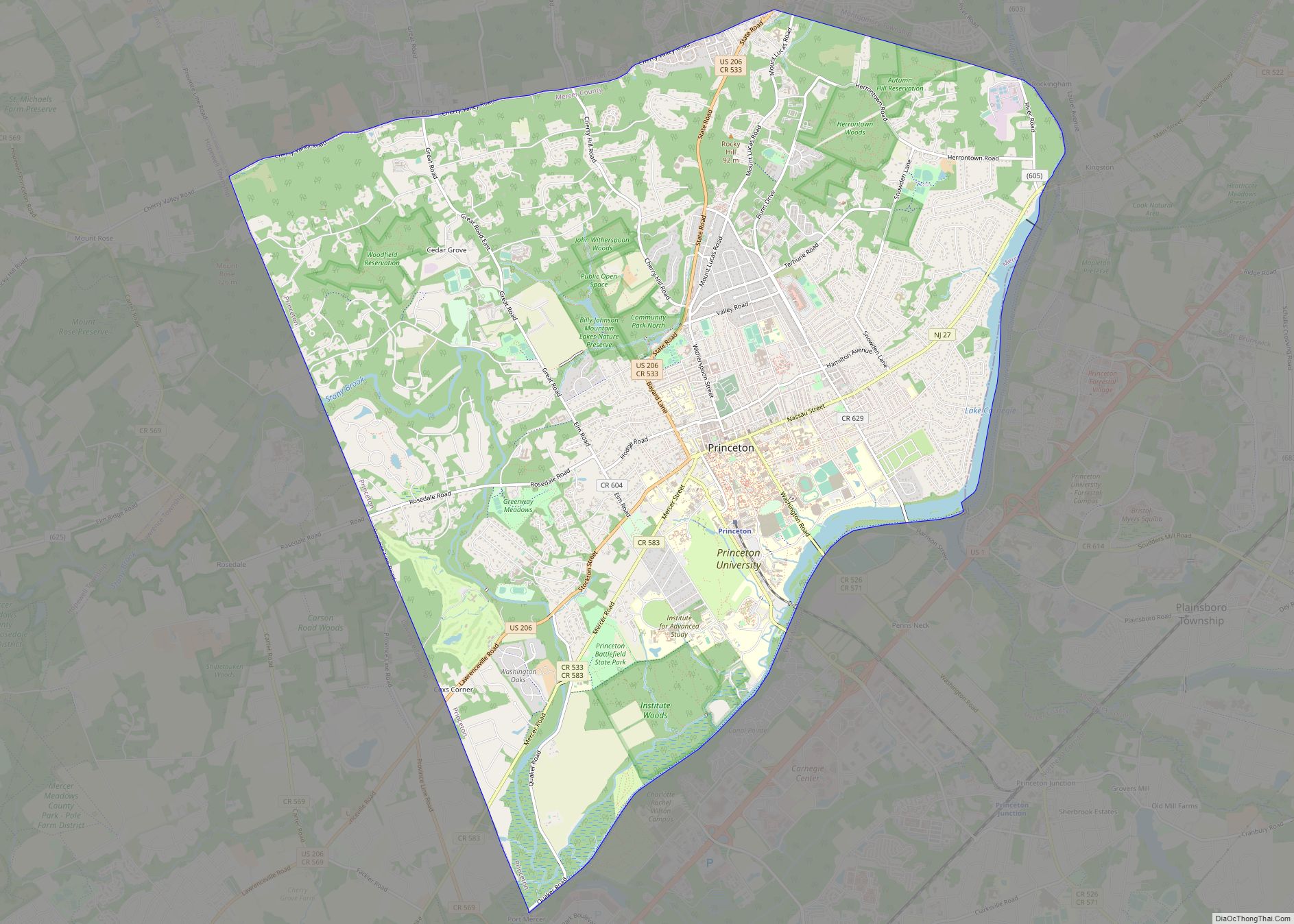
Lawrenceville generally comprises the area contained within Lawrenceville-Pennington Road to the south, Fackler Road to the north, Keefe Road to the west, and US 206, part of which turns into Main Street in Lawrenceville, to the east. The Lawrenceville School, across Route 206, is usually considered part of the village as well. Before tract development, beginning in the early 1970s, Lawrenceville was broadly defined as stretching two to three blocks back from Route 206. The boundary became less clear as residential developments replaced farmland behind the historic village.
Lawrence Township is occasionally and mistakenly referred to as Lawrenceville. The confusion is partly caused because the local post office is located in the Lawrenceville CDP and the Postal Service once instructed Lawrence Township residents to use Lawrenceville, Princeton or Trenton as their mailing address. In 1973, voters approved a nonbinding referendum to petition the U.S. Postal Service to adopt a single municipal post office address known as Lawrenceville for the entire township; The effort failed. A township resident appeared before Township Council in July, 2007, to request to designate the 08648 ZIP code for Lawrence Township. Council approved a resolution in support of the request that was then forwarded to the U.S. Postal Service. Township officials had fought, off and on, for the change since 1969, when then-U.S. Rep. Frank Thompson tried unsuccessfully to convince U.S. Postal Service authorities to grant a Lawrence name tag for the entire township, according to a letter on file at the Municipal Clerk’s Office. The United States Postal Service notified the township authorities in October 2007 that the preferred designation for the 08648 would be changed to “Lawrence Township”.
Lawrenceville is equidistant between Trenton and Princeton, New Jersey and approximately fifteen miles closer to Philadelphia than to New York City. Major transportation corridors have passed through Lawrenceville since the town’s inception, including The King’s Highway, which in the 18th century approximated today’s U.S. Route 206. The predominant highway and commercial corridor through Lawrenceville is New Jersey State Route 1.
See also
Map of New Jersey State and its subdivision: Map of other states:- Alabama
- Alaska
- Arizona
- Arkansas
- California
- Colorado
- Connecticut
- Delaware
- District of Columbia
- Florida
- Georgia
- Hawaii
- Idaho
- Illinois
- Indiana
- Iowa
- Kansas
- Kentucky
- Louisiana
- Maine
- Maryland
- Massachusetts
- Michigan
- Minnesota
- Mississippi
- Missouri
- Montana
- Nebraska
- Nevada
- New Hampshire
- New Jersey
- New Mexico
- New York
- North Carolina
- North Dakota
- Ohio
- Oklahoma
- Oregon
- Pennsylvania
- Rhode Island
- South Carolina
- South Dakota
- Tennessee
- Texas
- Utah
- Vermont
- Virginia
- Washington
- West Virginia
- Wisconsin
- Wyoming