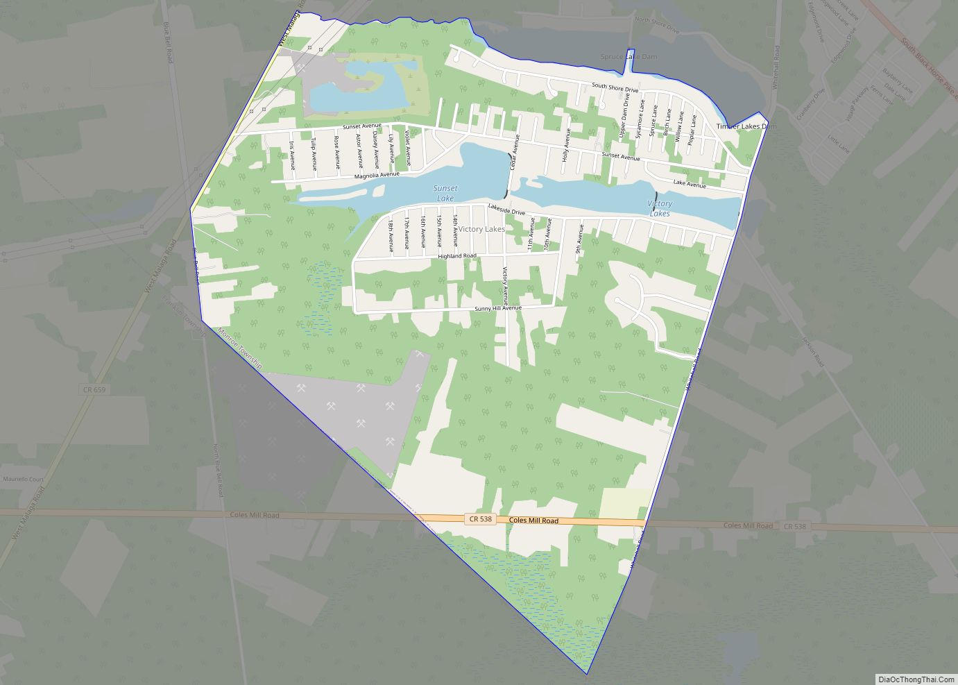
Victory Lakes is an unincorporated community and census-designated place (CDP) located within Monroe Township, in Gloucester County, New Jersey, United States. As of the 2010 United States Census, the CDP’s population was 2,111. Victory Lakes CDP overview: Name: Victory Lakes CDP LSAD Code: 57 LSAD Description: CDP (suffix) State: New Jersey County: Gloucester County Elevation: ... Read more
New Jersey Cities and Places
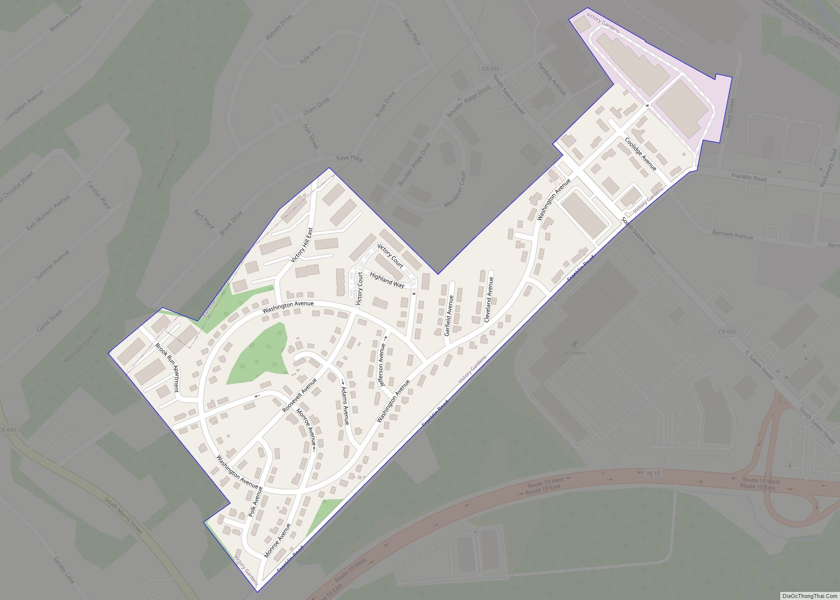
Victory Gardens is a borough in Morris County, in the U.S. state of New Jersey. As of the 2020 United States census, the borough’s population was 1,582, an increase of 62 (+4.1%) from the 2010 census count of 1,520, which in turn reflected a decline of 26 (−1.7%) from the 1,546 counted in the 2000 ... Read more
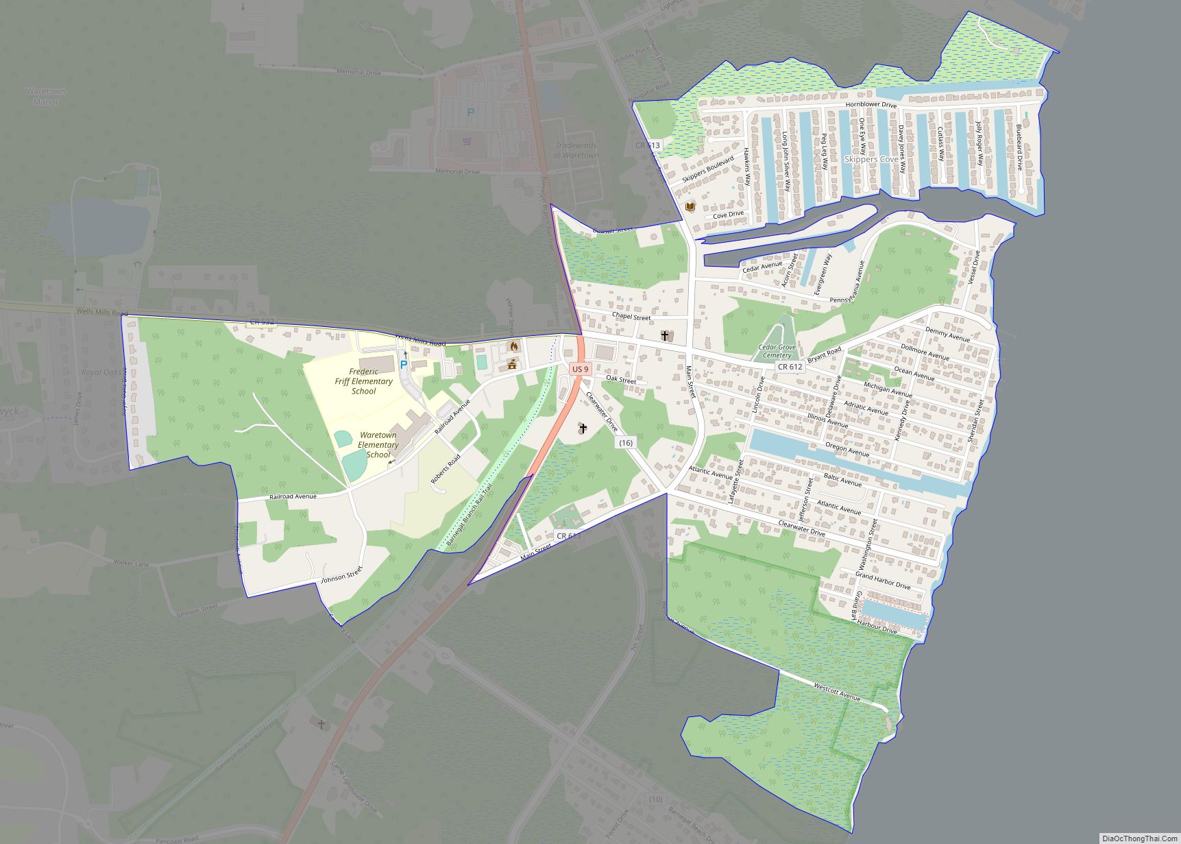
Waretown is an unincorporated community and census-designated place (CDP) located within Ocean Township, in Ocean County, New Jersey, United States. As of the 2010 United States Census, the CDP’s population was 1,569. Waretown is home to Albert Music Hall. Waretown CDP overview: Name: Waretown CDP LSAD Code: 57 LSAD Description: CDP (suffix) State: New Jersey ... Read more
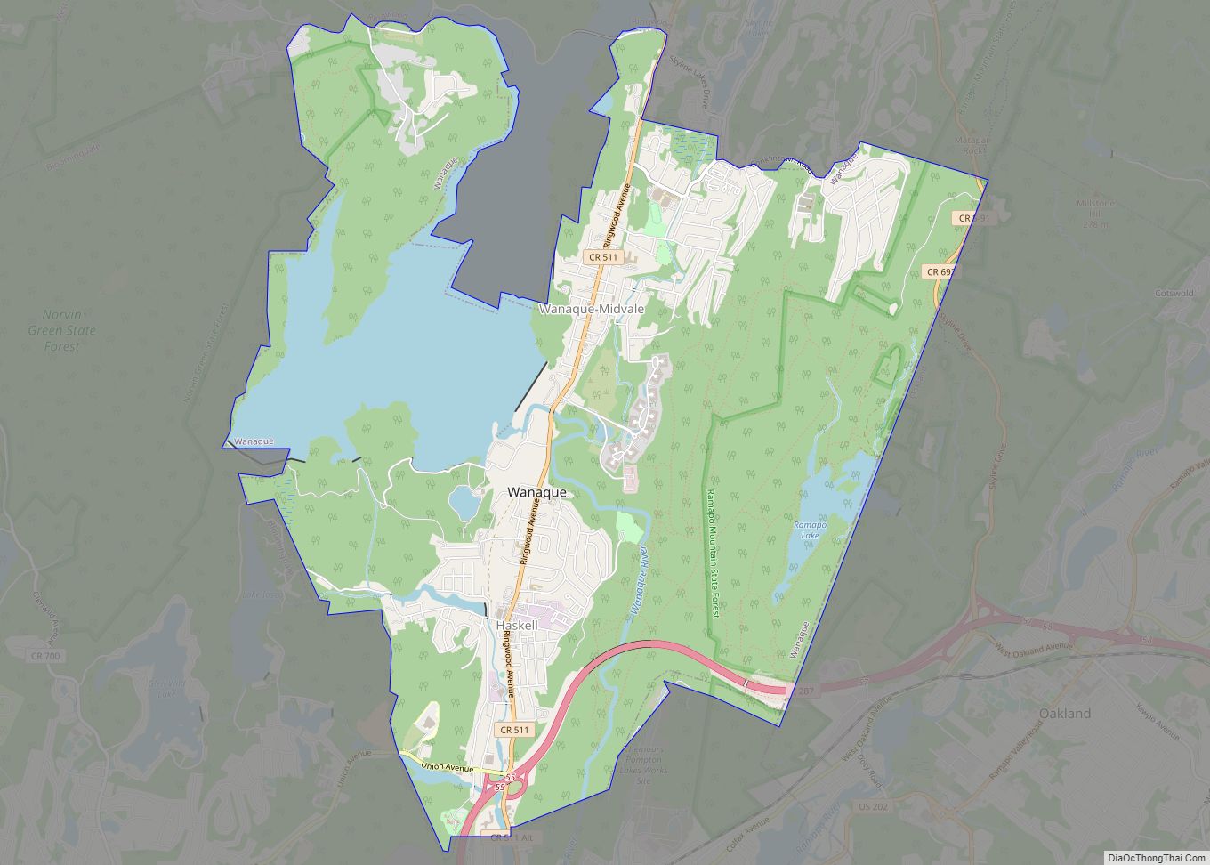
Wanaque (/ˈwɒnəkjuː, wəˈnɑːki/) is a borough in Passaic County, in the U.S. state of New Jersey. As of the 2020 United States census, the borough’s population was 11,317, an increase of 201 (+1.8%) from the 2010 census count of 11,116, which in turn reflected an increase of 850 (+8.3%) from the 10,266 counted in the ... Read more
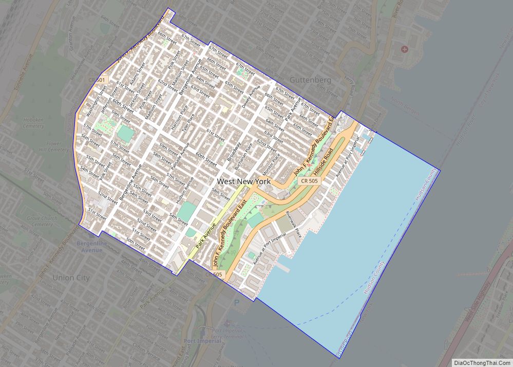
West New York is a town in the northern part of Hudson County, in the U.S. state of New Jersey, situated upon the New Jersey Palisades. As of the 2020 United States census, the town’s population was 52,912, an increase of 3,204 (+6.4%) from the 2010 census count of 49,708, which in turn reflected an ... Read more
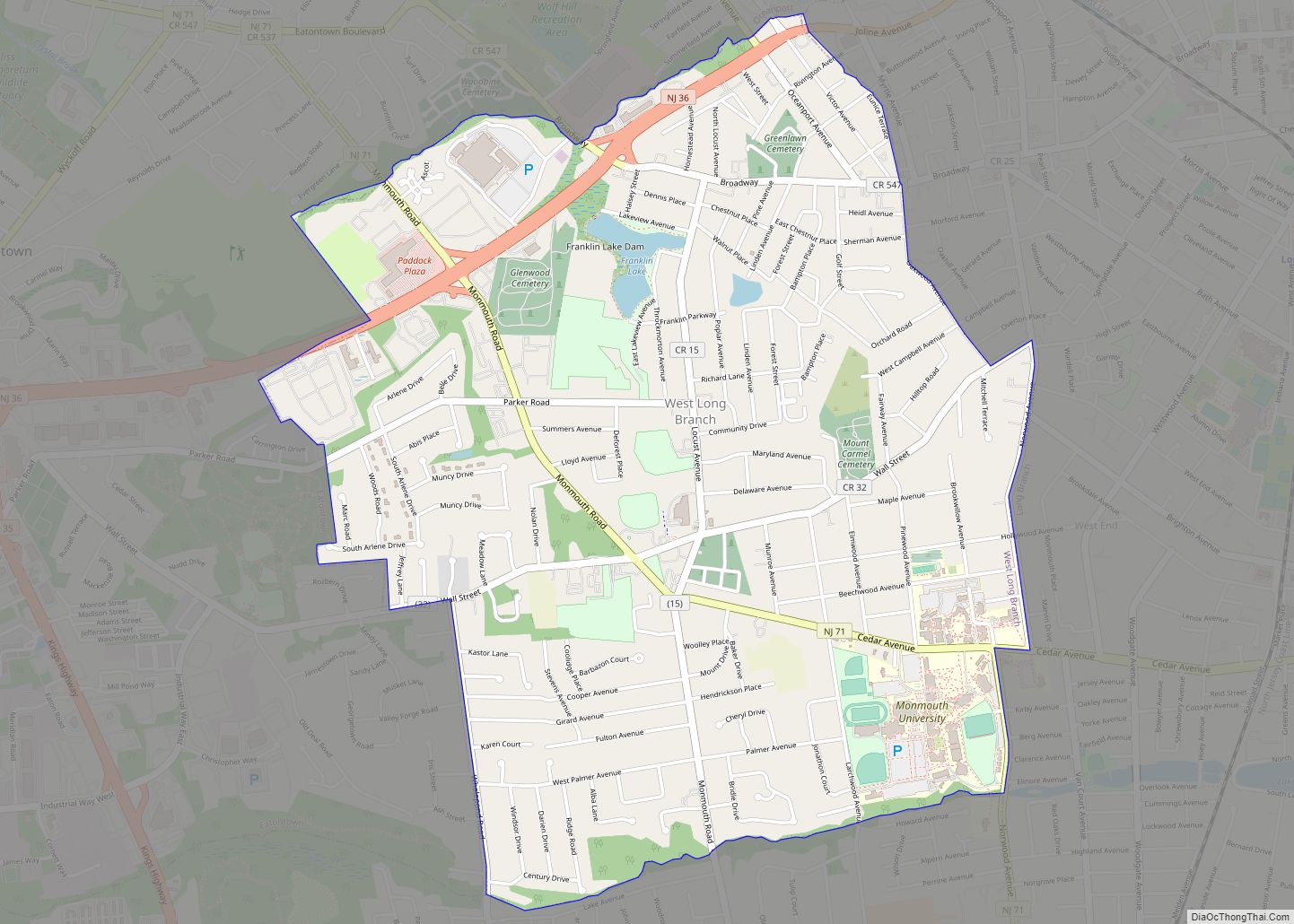
West Long Branch is a borough situated within the Jersey Shore region, within Monmouth County, in the U.S. state of New Jersey. As of the 2020 United States census, the borough’s population was 8,587, its highest decennial count ever and an increase of 490 (+6.1%) from the 2010 census count of 8,097, which in turn ... Read more
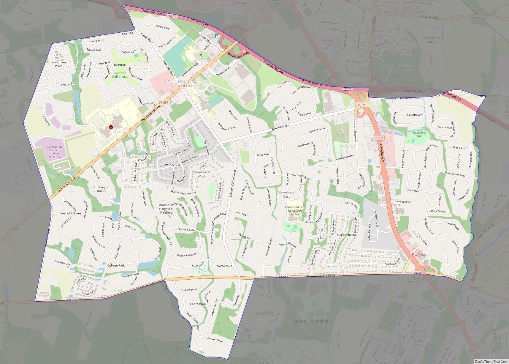
West Freehold is an unincorporated community and census-designated place (CDP) within Freehold Township, in Monmouth County, New Jersey, United States. As of the 2010 United States Census, the CDP’s population was 13,613. Due to the community’s close proximity to the Battle of Monmouth, West Freehold is home to several important historical structures, which have been ... Read more
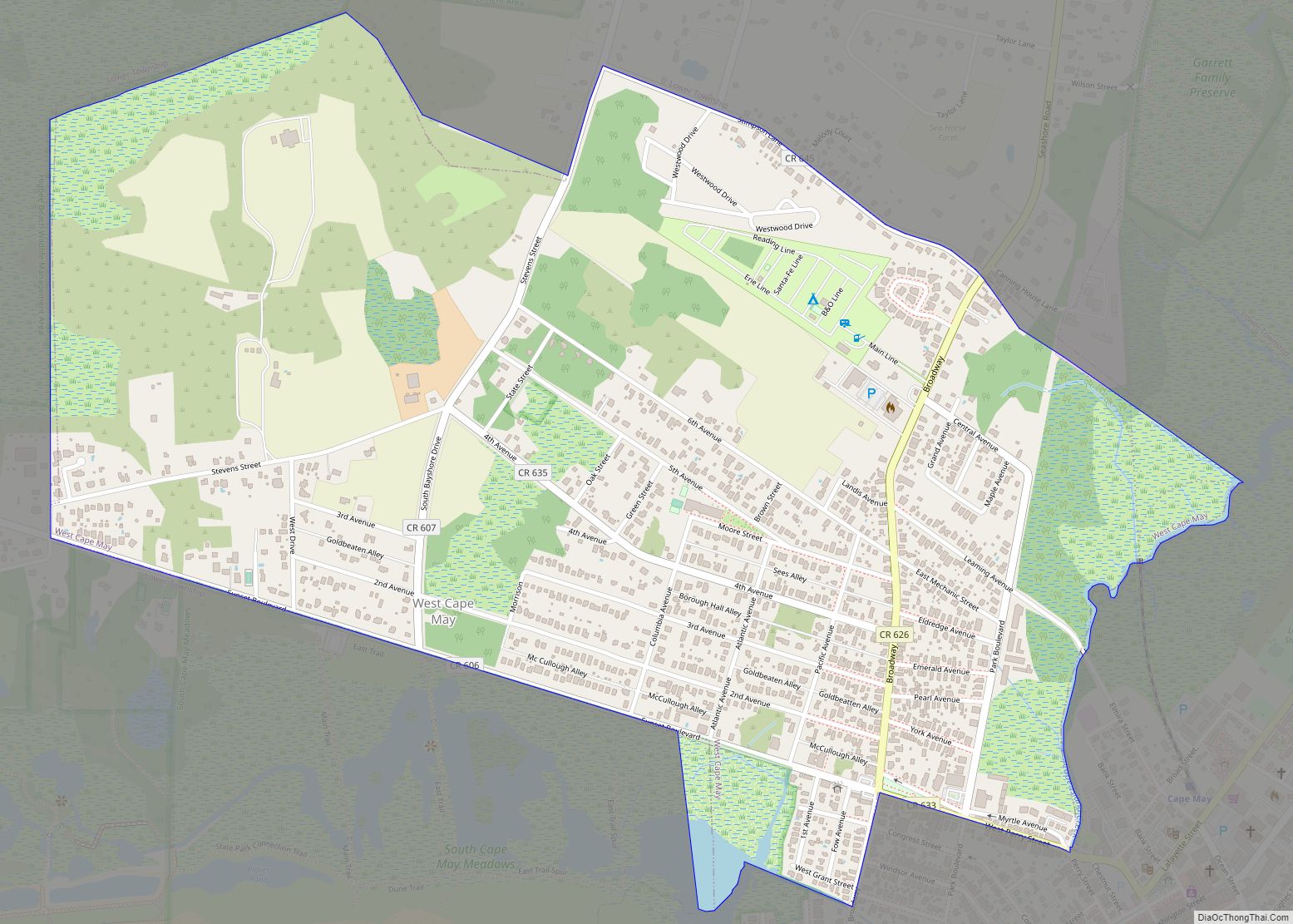
West Cape May is a Walsh Act borough in Cape May County, in the U.S. state of New Jersey. The borough, and all of Cape May County, is part of the South Jersey region of the state and of the Ocean City metropolitan statistical area, which is part of the Philadelphia–Wilmington–Camden, PA-NJ-DE–MD combined statistical area, ... Read more
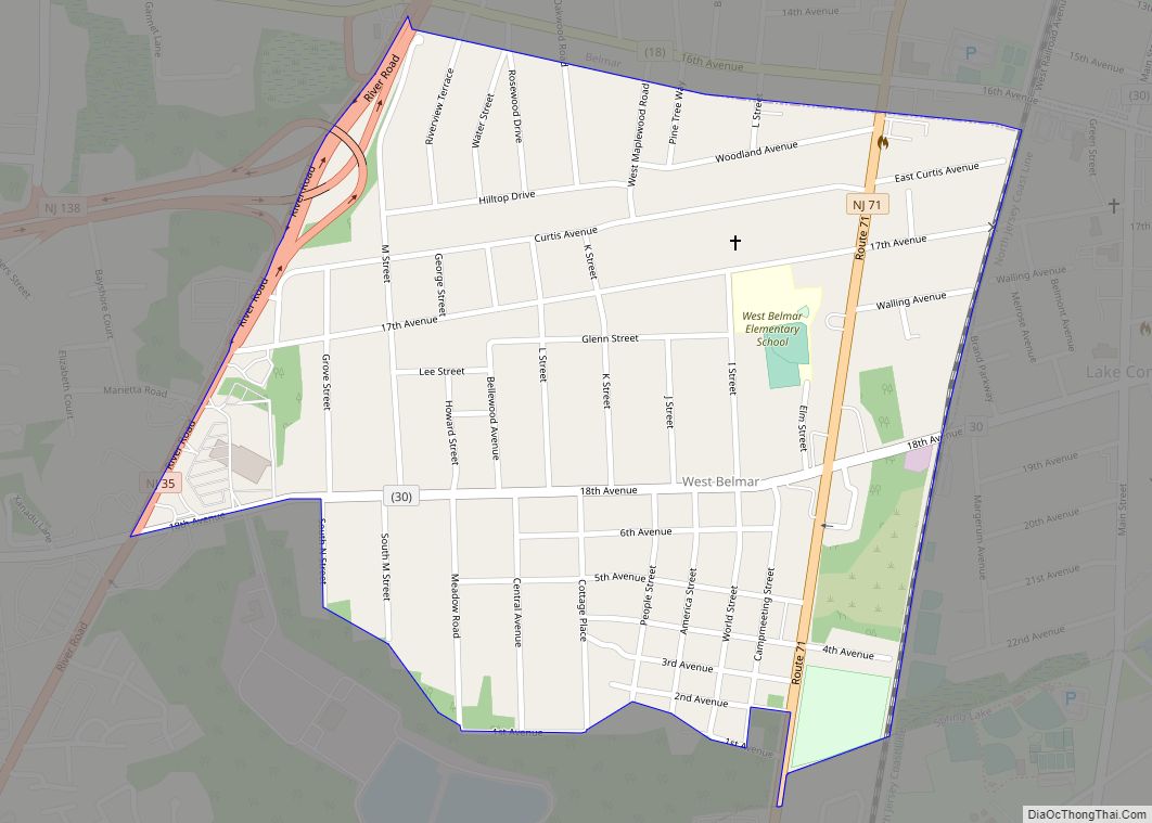
West Belmar is an unincorporated community and census-designated place (CDP) within Wall Township, in Monmouth County, New Jersey, United States. At the 2010 census, the CDP’s population was 2,493. West Belmar CDP overview: Name: West Belmar CDP LSAD Code: 57 LSAD Description: CDP (suffix) State: New Jersey County: Monmouth County Elevation: 30 ft (9 m) Total Area: ... Read more
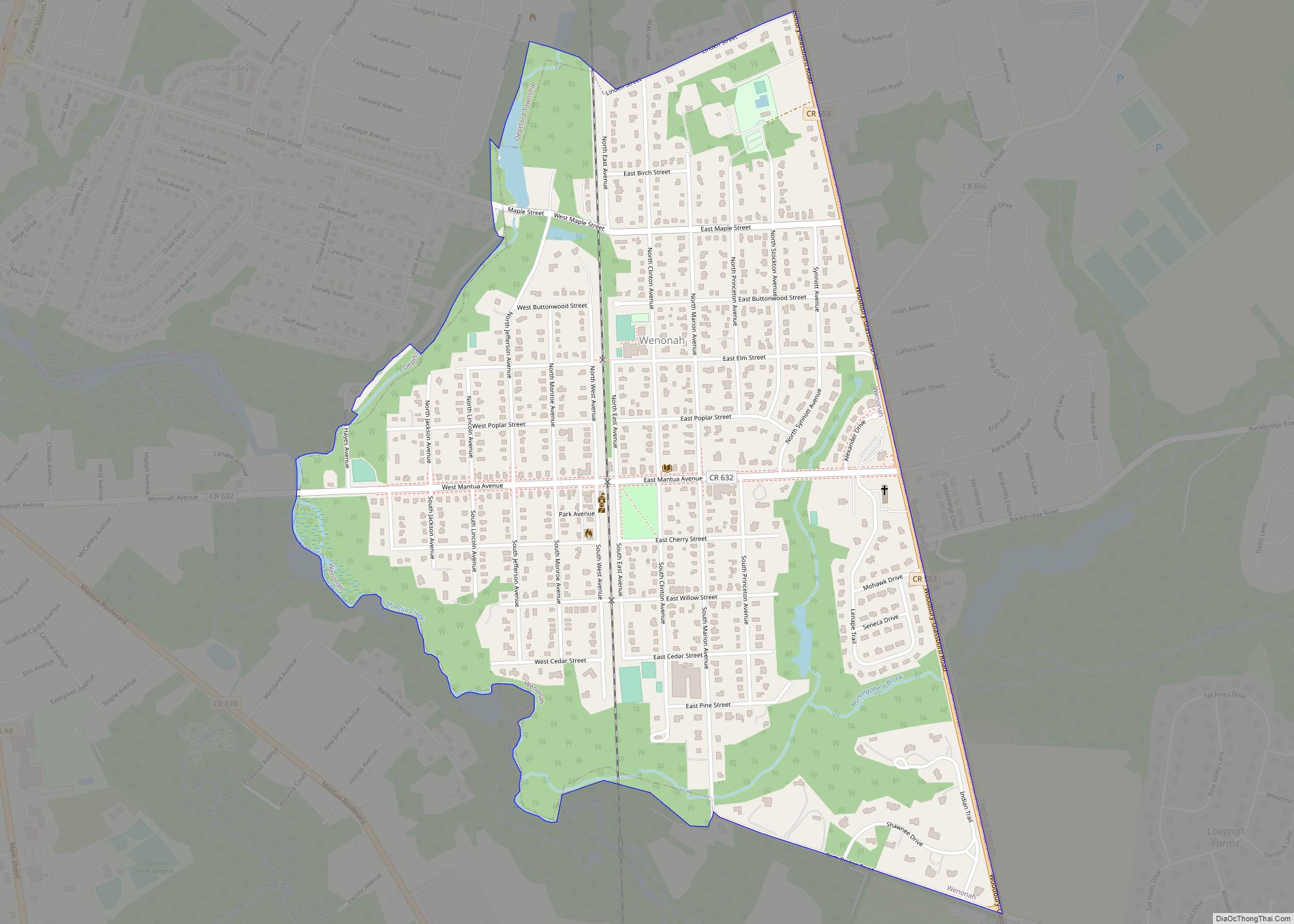
Wenonah is a borough in Gloucester County, in the U.S. state of New Jersey. As of the 2020 United States census, the borough’s population was 2,283, an increase of five people (+0.2%) from the 2010 census count of 2,278, which in turn reflected a decline of 39 (−1.7%) from the 2,317 counted in the 2000 ... Read more
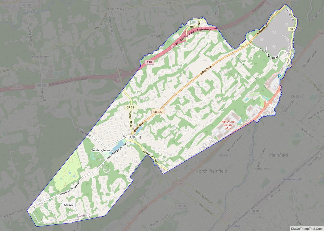
Watchung (/wɑːˈtʃʌŋ/) is a borough in Somerset County, in the U.S. state of New Jersey, located approximately 29 miles (47 km) west of New York City. As of the 2020 United States census, the borough’s population was 6,449, an increase of 648 (+11.2%) from the 2010 census count of 5,801, which in turn reflected an increase ... Read more
Washington borough overview: Name: Washington borough LSAD Code: 21 LSAD Description: borough (suffix) State: New Jersey County: Warren County FIPS code: 3477270 Online Interactive Map Washington online map. Source: Basemap layers from Google Map, Open Street Map (OSM), Arcgisonline, Wmflabs. Boundary Data from Database of Global Administrative Areas. Washington location map. Where is Washington borough? ... Read more
