West New York is a town in the northern part of Hudson County, in the U.S. state of New Jersey, situated upon the New Jersey Palisades. As of the 2020 United States census, the town’s population was 52,912, an increase of 3,204 (+6.4%) from the 2010 census count of 49,708, which in turn reflected an increase of 3,940 (+8.6%) from the 45,768 counted in the 2000 census. The Census Bureau’s Population Estimates Program calculated that the city’s population was 52,242 in 2021, ranking the city the 761st-most-populous in the country. With more than 52,800 inhabitants per square mile (20,400/km) of land according to the 2010 census, West New York was the second-most densely populated municipality in the United States, among places with a population above 50,000.
| Name: | West New York town |
|---|---|
| LSAD Code: | 43 |
| LSAD Description: | town (suffix) |
| State: | New Jersey |
| County: | Hudson County |
| Incorporated: | July 8, 1898 |
| Elevation: | 151 ft (46 m) |
| Total Area: | 1.32 sq mi (3.42 km²) |
| Land Area: | 0.99 sq mi (2.58 km²) |
| Water Area: | 0.33 sq mi (0.85 km²) 25.11% |
| Total Population: | 52,912 |
| Population Density: | 53,231.4/sq mi (20,552.8/km²) |
| ZIP code: | 07093 |
| Area code: | 201 |
| FIPS code: | 3479610 |
| GNISfeature ID: | 0885438 |
| Website: | www.westnewyorknj.org |
Online Interactive Map
Click on ![]() to view map in "full screen" mode.
to view map in "full screen" mode.
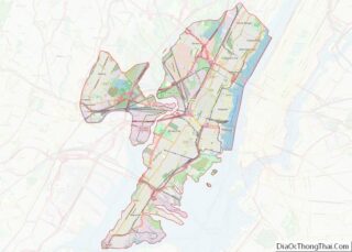
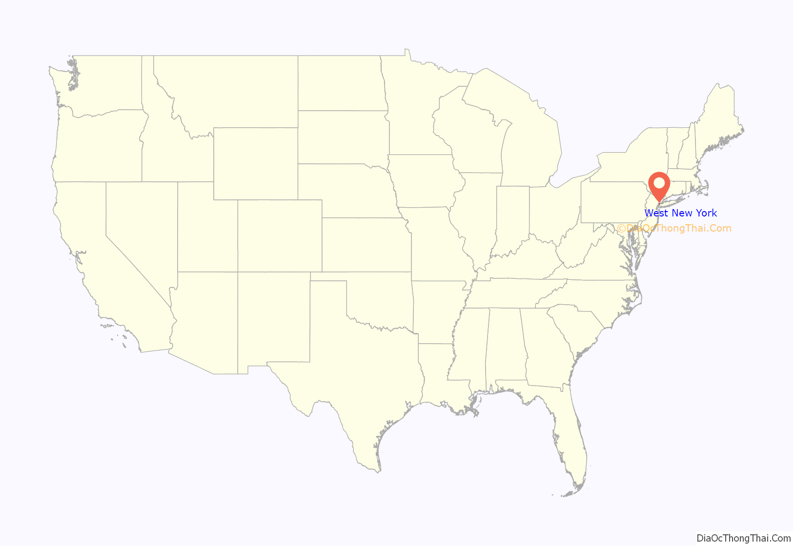
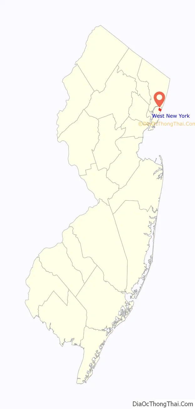
West New York location map. Where is West New York town?
History
West New York was incorporated as a town by an act of the New Jersey Legislature on July 8, 1898, replacing Union Township, based on the results of a referendum held three days earlier. West New York underwent a massive growth at the beginning of the 20th century, driven by development of textile industries that made North Hudson the “Embroidery Capital of the United States”.
The town was populated mainly with Italian Americans and German Americans. The 1960s saw an influx of Cuban émigrés to the area, once called Havana on the Hudson; it has since become one of the United States cities with a majority Hispanic population. Simultaneously, high-rise apartments, some of the tallest buildings in North Hudson, were built along Boulevard East, adding to the population of the town, giving it one of highest population densities in the country. Since the 1980s the Hudson waterfront, which had been part of the Weehawken Terminal, has been redeveloped from industrial to residential and recreational uses, including the Hudson River Waterfront Walkway.
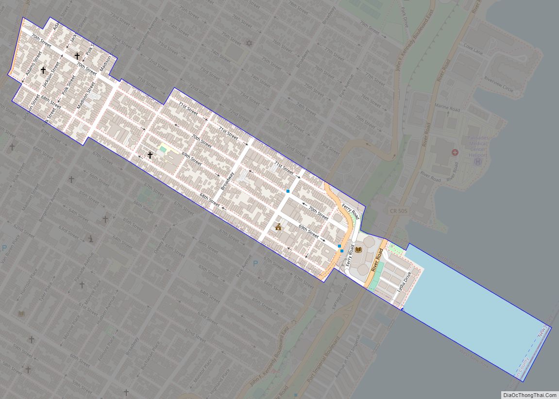
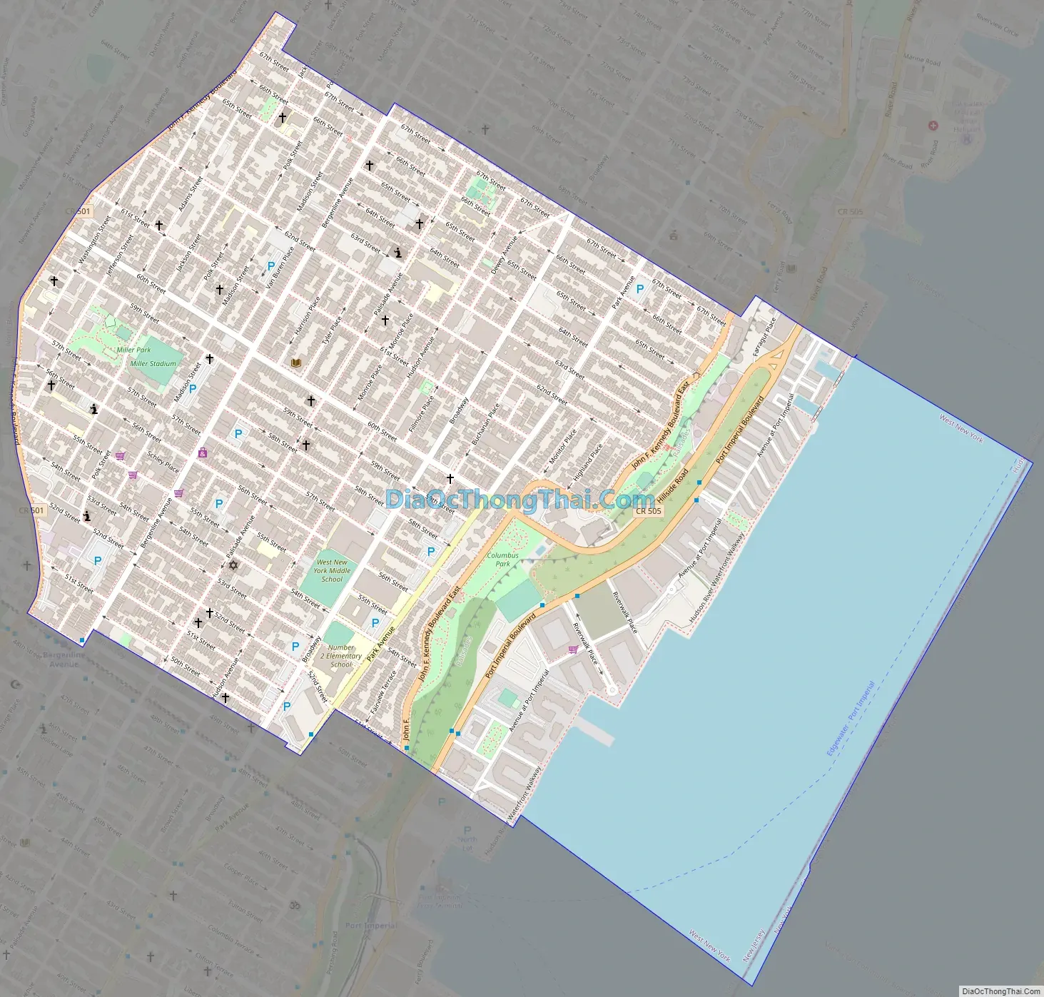
West New York Road Map
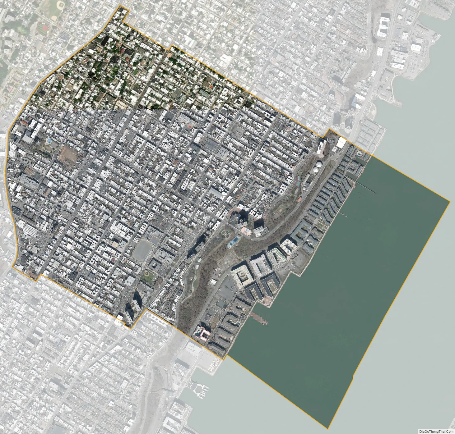
West New York city Satellite Map
Geography
According to the United States Census Bureau, the town had a total area of 1.33 square miles (3.44 km), including 0.99 square miles (2.58 km) of land and 0.33 square miles (0.86 km) of water (25.11%).
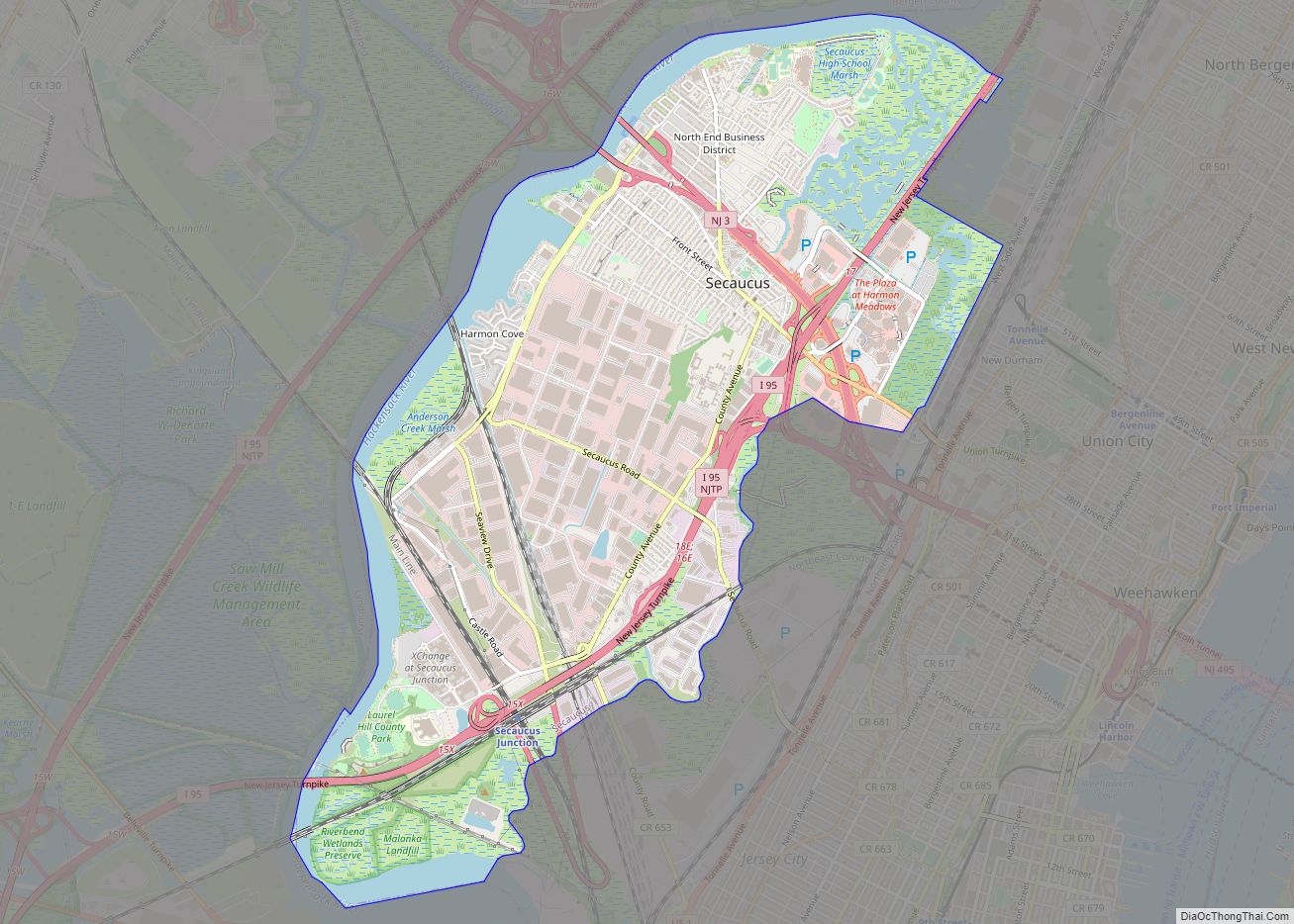
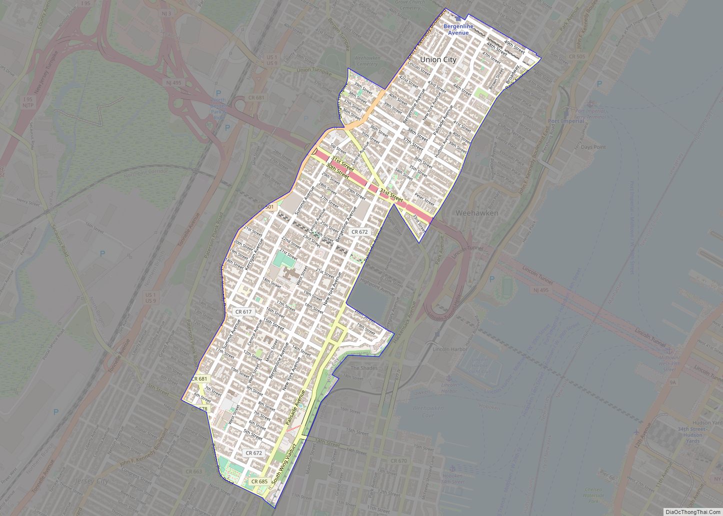
The ZIP Code for West New York is 07093. West New York is part of the New York metropolitan area and is at the heart of the North Hudson, New Jersey, region. West New York is bordered on the north by Guttenberg, on the east by the Hudson River, on the south by Union City and Weehawken, and on the west by North Bergen.
West New York is one of North Hudson’s communities atop The Palisades above the Hudson River, and home to the highest point in the county. Its Hudson Waterfront has been known as Bulls Ferry since before the American Revolutionary War. Bergenline Avenue is its main commercial thoroughfare, while the wide two-way 60th Street is a major cross-town thoroughfare, and site of Town Hall. More than half of U.S. Presidents have streets bearing their name in the town.
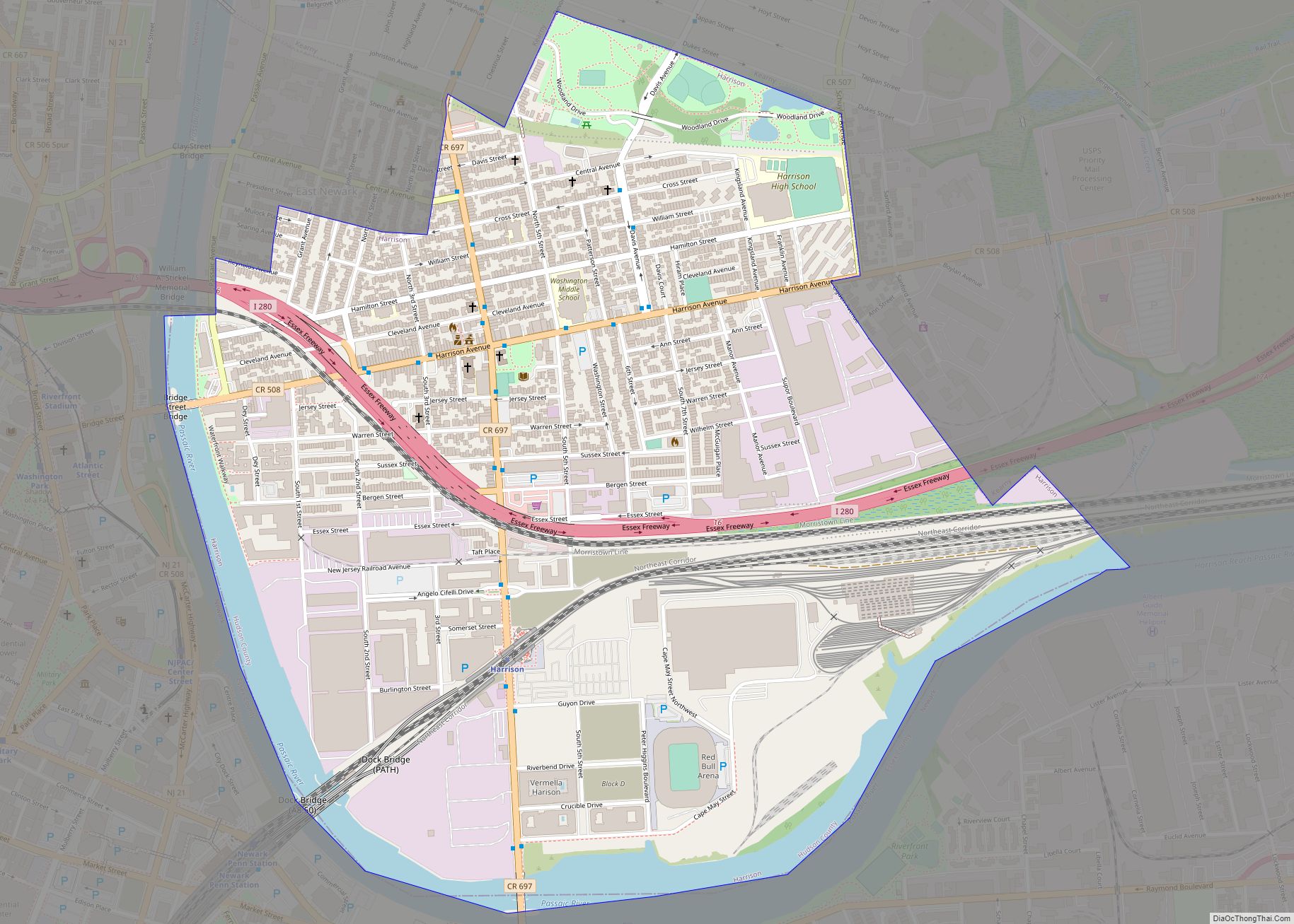
The town borders the municipalities of Guttenberg, North Bergen, Union City and Weehawken in Hudson County; and the New York City borough of Manhattan across the Hudson River.
See also
Map of New Jersey State and its subdivision: Map of other states:- Alabama
- Alaska
- Arizona
- Arkansas
- California
- Colorado
- Connecticut
- Delaware
- District of Columbia
- Florida
- Georgia
- Hawaii
- Idaho
- Illinois
- Indiana
- Iowa
- Kansas
- Kentucky
- Louisiana
- Maine
- Maryland
- Massachusetts
- Michigan
- Minnesota
- Mississippi
- Missouri
- Montana
- Nebraska
- Nevada
- New Hampshire
- New Jersey
- New Mexico
- New York
- North Carolina
- North Dakota
- Ohio
- Oklahoma
- Oregon
- Pennsylvania
- Rhode Island
- South Carolina
- South Dakota
- Tennessee
- Texas
- Utah
- Vermont
- Virginia
- Washington
- West Virginia
- Wisconsin
- Wyoming