West Cape May is a Walsh Act borough in Cape May County, in the U.S. state of New Jersey. The borough, and all of Cape May County, is part of the South Jersey region of the state and of the Ocean City metropolitan statistical area, which is part of the Philadelphia–Wilmington–Camden, PA-NJ-DE–MD combined statistical area, also known as the Delaware Valley or Philadelphia metropolitan area. As of the 2020 United States census, the borough’s population was 1,010, a decrease of 14 (−1.4%) from the 2010 census count of 1,024, which in turn reflected a decline of 71 (−6.5%) from the 1,095 counted in the 2000 census.
West Cape May was incorporated as a borough by an act of the New Jersey Legislature on April 17, 1884, from portions of Lower Township, based on the results of a referendum held two days earlier. The borough was reincorporated on April 11, 1890, and again on May 4, 1897. The borough’s name derives from Cape May, which was named for 1620 Dutch captain named Cornelius Jacobsen May who explored and charted the area between 1611 and 1614, and established a claim for the province of New Netherland.
During Hurricane Sandy in October 2012, West Cape May was hit by 9.53 inches (242 mm) of rain, the most of any place in the state.
West Cape May had been a dry town until May 2012, when a new store opened after the Board of Commissioners approved the sale of a liquor license for more than $600,000. In 2008, voters approved a referendum that allowed the issuance of a single license for retail liquor sales and another for sale of alcoholic beverages at a restaurant. The borough had been dry for 128 years, where alcohol cannot be sold, affirmed by the results of a referendum held in 1940, joining Cape May Point, Ocean City and Wildwood Crest among municipalities in Cape May restricting the sale of alcohol.
| Name: | West Cape May borough |
|---|---|
| LSAD Code: | 21 |
| LSAD Description: | borough (suffix) |
| State: | New Jersey |
| County: | Cape May County |
| Incorporated: | April 17, 1884 |
| Elevation: | 10 ft (3 m) |
| Total Area: | 1.19 sq mi (3.07 km²) |
| Land Area: | 1.17 sq mi (3.04 km²) |
| Water Area: | 0.01 sq mi (0.03 km²) 1.09% |
| Total Population: | 1,010 |
| Population Density: | 860.8/sq mi (332.4/km²) |
| ZIP code: | 08204 |
| Area code: | 609 |
| FIPS code: | 3478530 |
| GNISfeature ID: | 0885435 |
| Website: | www.westcapemay.us |
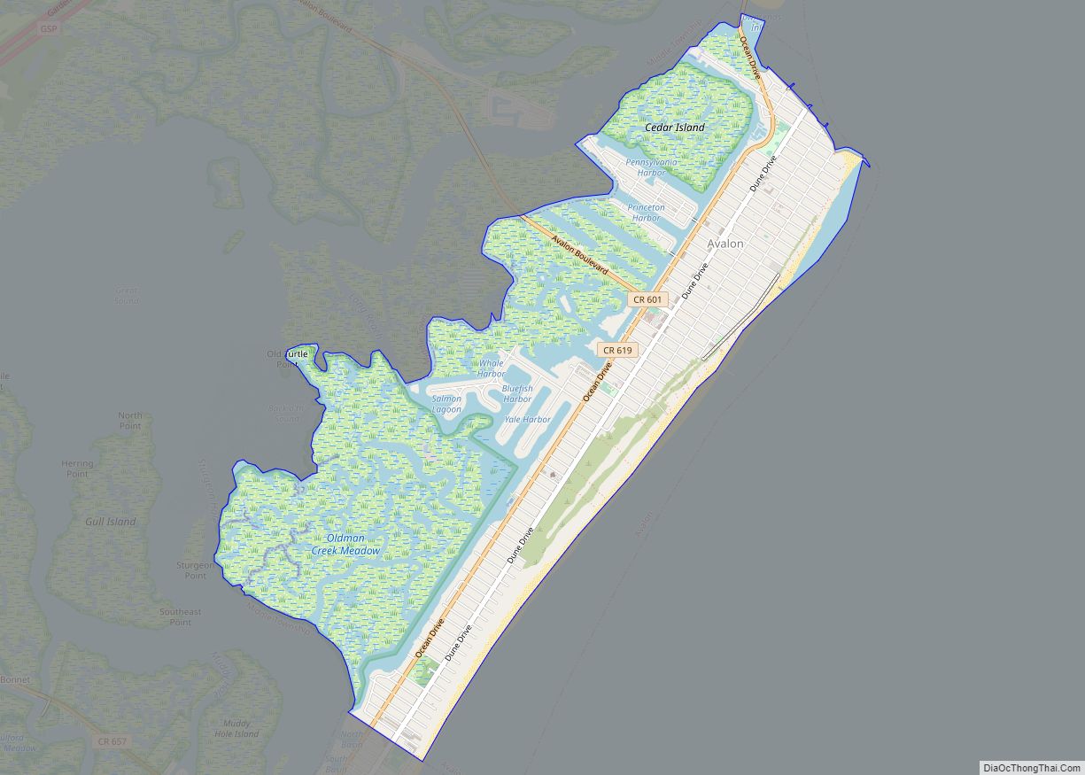
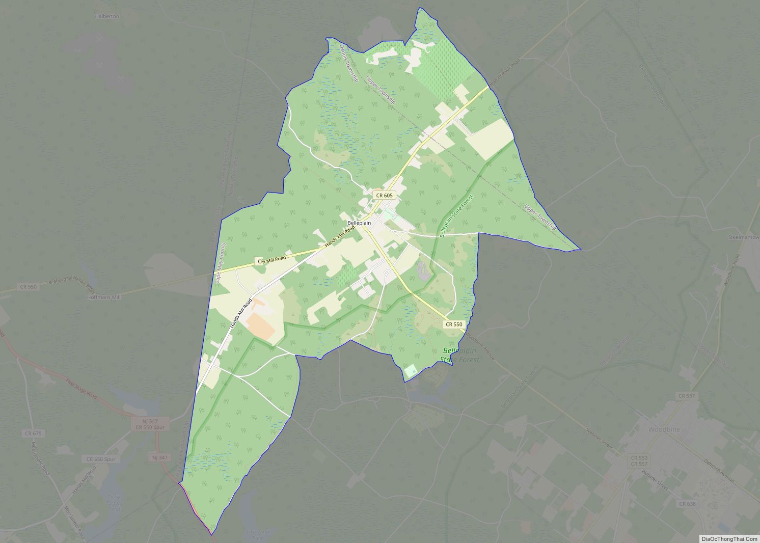
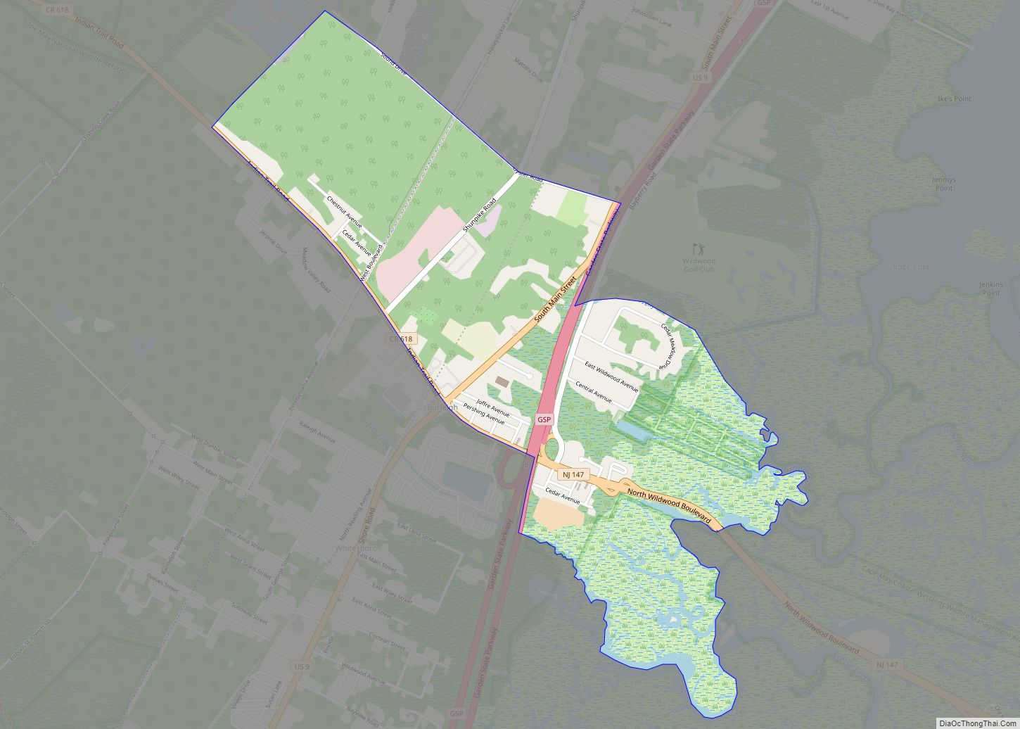
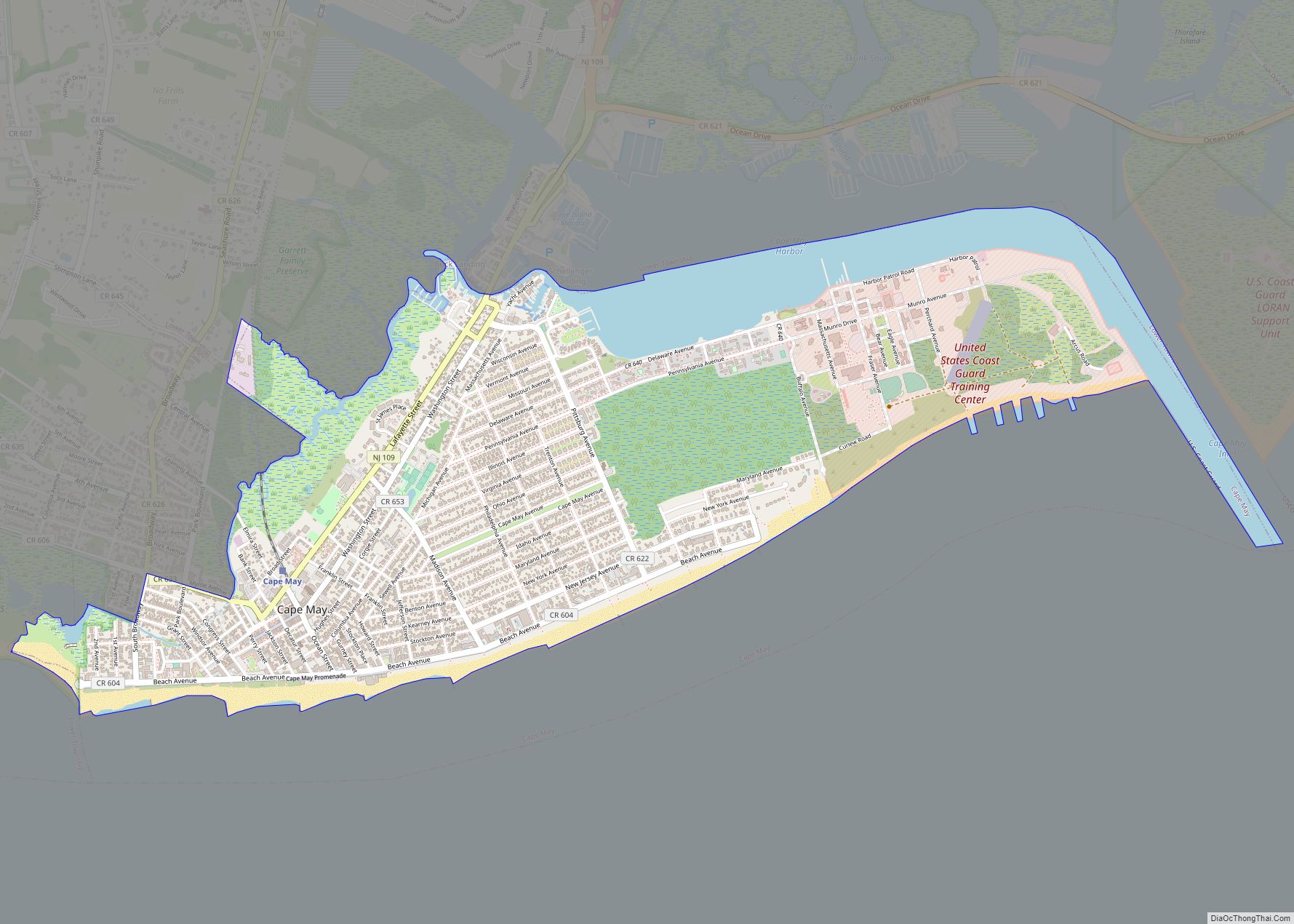
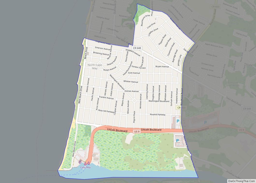
Online Interactive Map
Click on ![]() to view map in "full screen" mode.
to view map in "full screen" mode.
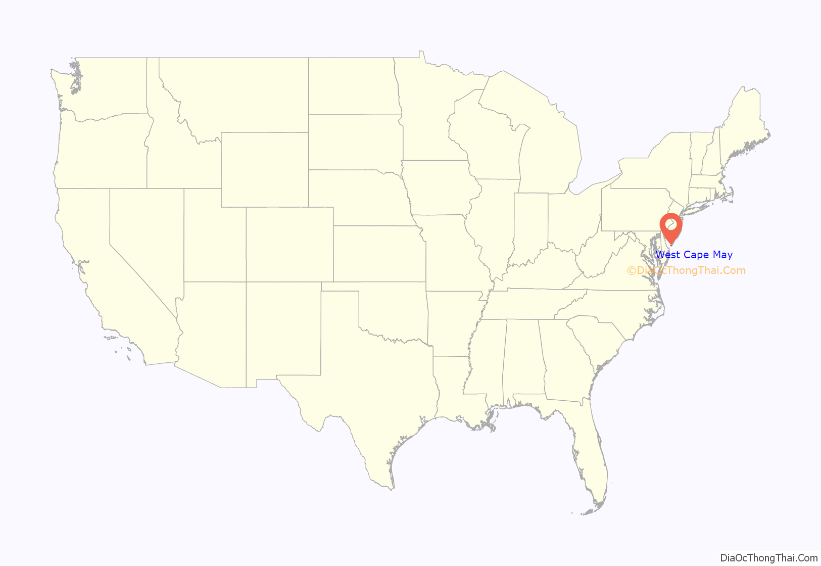
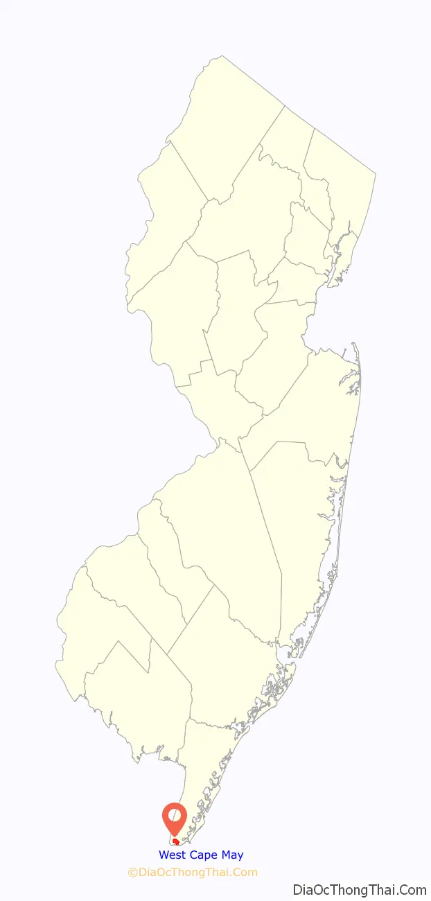
West Cape May location map. Where is West Cape May borough?
History
The borough’s history goes back to the time of the Lenape Native Americans. Several buildings in the borough date to the Colonial period. The area has a rich agricultural history which continues to be celebrated each year with a summer farmers’ market, and strawberry, tomato and lima bean festivals. It has been known as the “Lima Bean Capital of the World.” The Lima Bean Festival is an annual event held in West Cape May, New Jersey, the “Lima Bean Capital of the World”, and is the world’s only such celebration. It is held annually on the Saturday of Columbus Day weekend in Wilbraham Park.
West Cape May, once known as Eldredge, is one of the four jurisdictions that comprise Cape Island in Cape May County. West Cape May was incorporated as a borough by an act of the New Jersey Legislature on April 17, 1884, from portions of Lower Township, based on the results of a referendum held two days earlier. The borough was reincorporated on April 11, 1890, and again on May 4, 1897.
The Borough has reported ties to the Underground Railroad.
From 1881 to 1931, the Hastings Goldbeating Company was located in the Borough employing women to pound one-inch strips of gold into gossamer-thin sheets used for decorative arts. Women continued to do the “booking” of gold leaf sheets until 1961. A plaque indicating the location of the factory can be found on Goldbeaten Alley. It was this business, along with real estate speculation and subdivision of the land, that led to the Borough’s incorporation in 1884.
Historic sites
The historic core of the Borough was placed on the National Register of Historic Places along with sections of the City of Cape May in 1976.
Whilldin-Miller House was added to the National Register of Historic Places on February 12, 2003. The original timber frame two-story house remaining in the rear was built by Joseph Whilldin about 1715, while the front portion of the house was built in 1860, making it one of the oldest remaining houses on Cape Island.
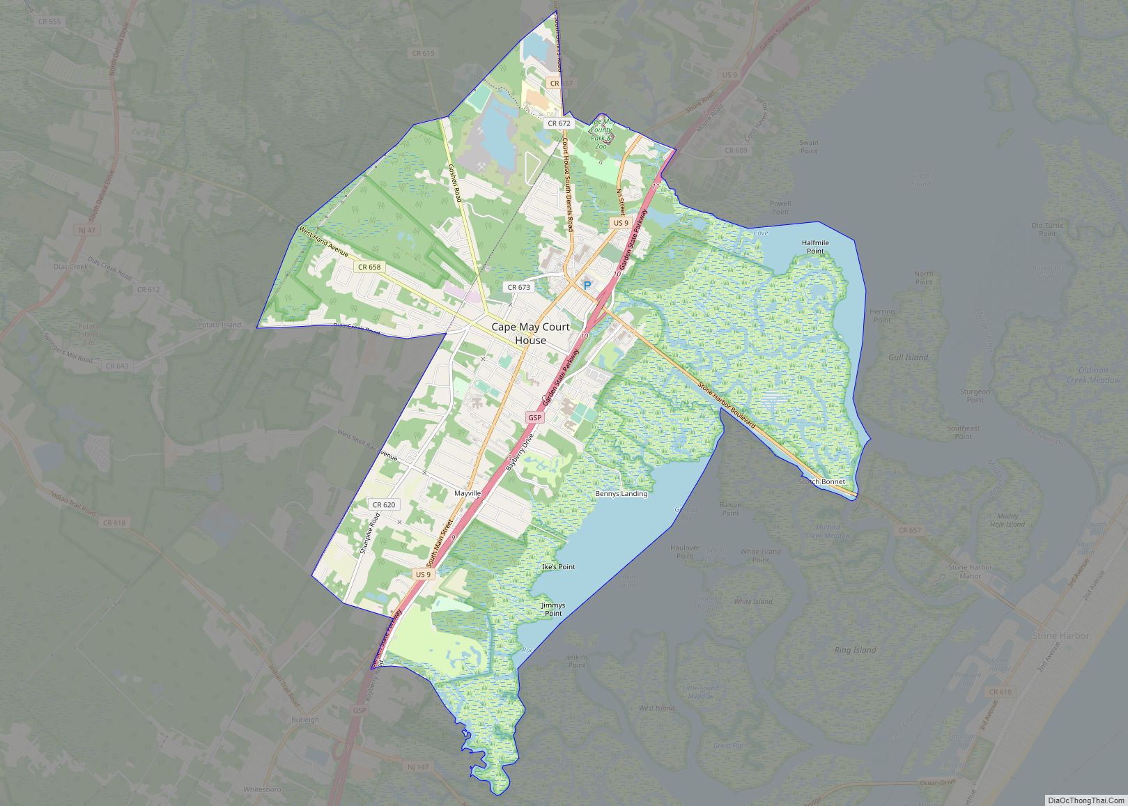
West Cape May Road Map

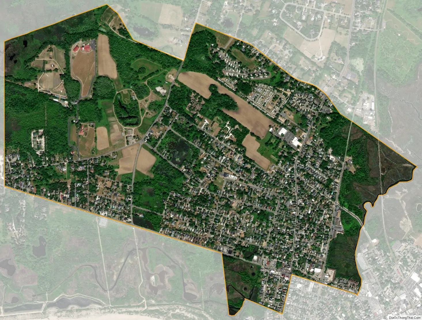
West Cape May city Satellite Map
Geography
According to the United States Census Bureau, the borough had a total area of 1.19 square miles (3.07 km), including 1.17 square miles (3.04 km) of land and 0.01 square miles (0.03 km) of water (1.09%).
The borough borders the Cape May County municipalities of Cape May City and Lower Township.
See also
Map of New Jersey State and its subdivision: Map of other states:- Alabama
- Alaska
- Arizona
- Arkansas
- California
- Colorado
- Connecticut
- Delaware
- District of Columbia
- Florida
- Georgia
- Hawaii
- Idaho
- Illinois
- Indiana
- Iowa
- Kansas
- Kentucky
- Louisiana
- Maine
- Maryland
- Massachusetts
- Michigan
- Minnesota
- Mississippi
- Missouri
- Montana
- Nebraska
- Nevada
- New Hampshire
- New Jersey
- New Mexico
- New York
- North Carolina
- North Dakota
- Ohio
- Oklahoma
- Oregon
- Pennsylvania
- Rhode Island
- South Carolina
- South Dakota
- Tennessee
- Texas
- Utah
- Vermont
- Virginia
- Washington
- West Virginia
- Wisconsin
- Wyoming