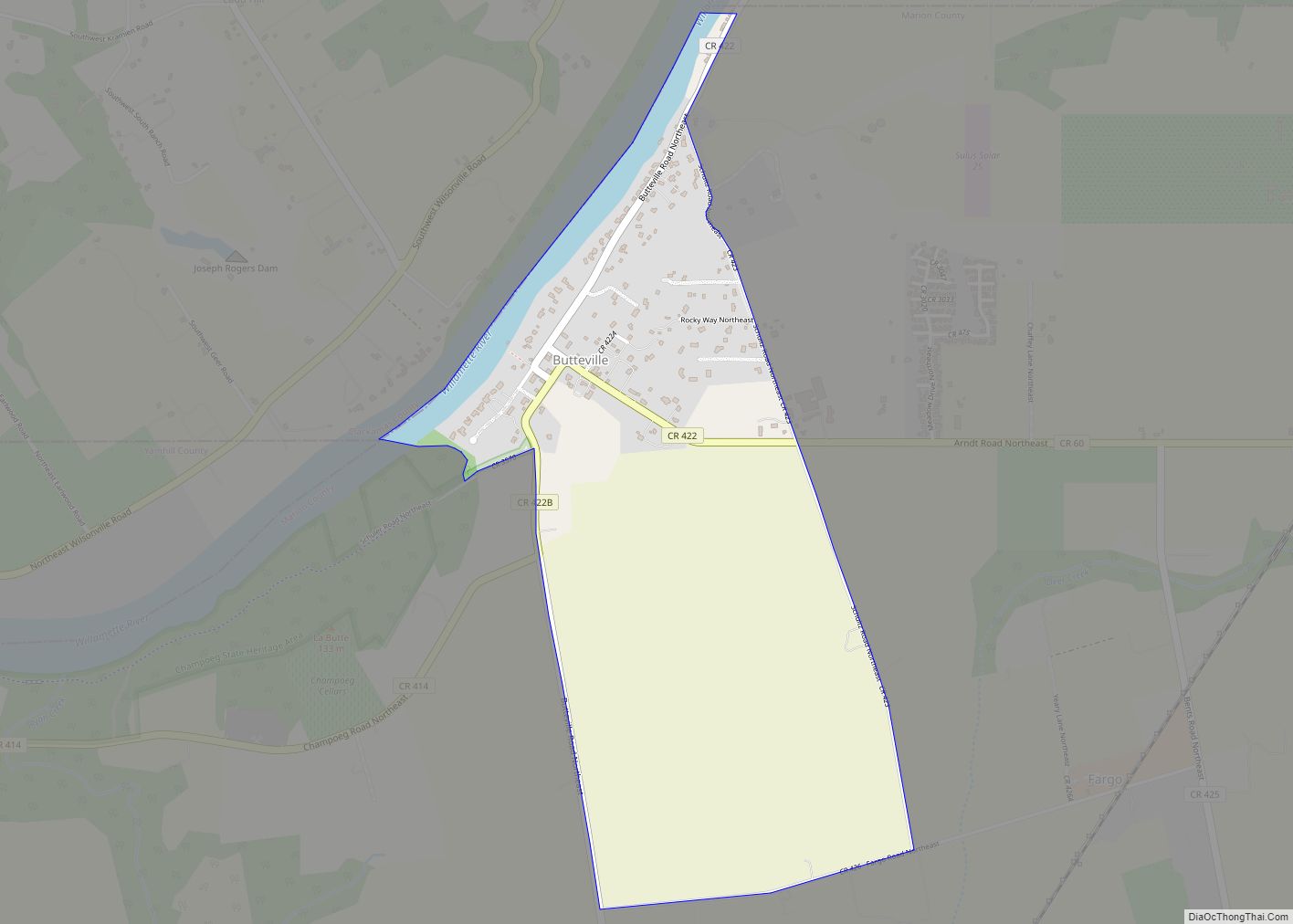
Butteville is a census-designated place and unincorporated community in Marion County, Oregon, United States. For statistical purposes, the United States Census Bureau has defined Butteville as a census-designated place (CDP). The census definition of the area may not precisely correspond to local understanding of the area with the same name. As of the 2020 census ... Read more
Oregon Cities and Places
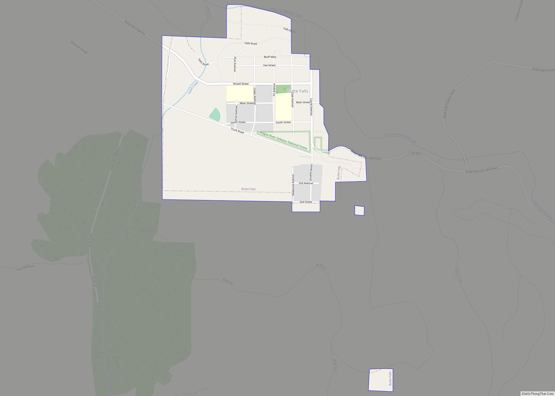
Butte Falls is a city in Jackson County, Oregon, United States. The population was 423 at the 2010 census. As of July 1, 2018, the city’s population was estimated to be 450. Butte Falls town overview: Name: Butte Falls town LSAD Code: 43 LSAD Description: town (suffix) State: Oregon County: Jackson County Incorporated: 1911 Elevation: ... Read more
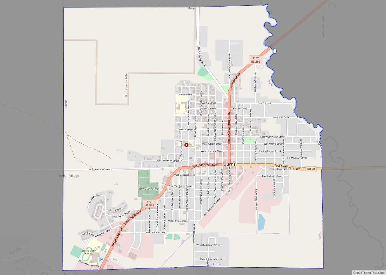
Burns is a city in and the county seat of Harney County, in the U.S. state of Oregon. According to the 2010 census, the population was 2,806. Burns and the nearby city of Hines are home to about 60 percent of the people in the sparsely populated county, by area the largest in Oregon and the ... Read more
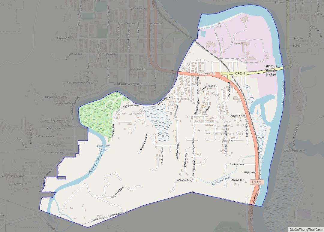
Bunker Hill is a census-designated place (CDP) in Coos County, Oregon, United States. As of the 2010 census the population was 1,444. Bunker Hill CDP overview: Name: Bunker Hill CDP LSAD Code: 57 LSAD Description: CDP (suffix) State: Oregon County: Coos County Elevation: 128 ft (39 m) Total Area: 1.59 sq mi (4.12 km²) Land Area: 1.46 sq mi (3.78 km²) Water Area: ... Read more
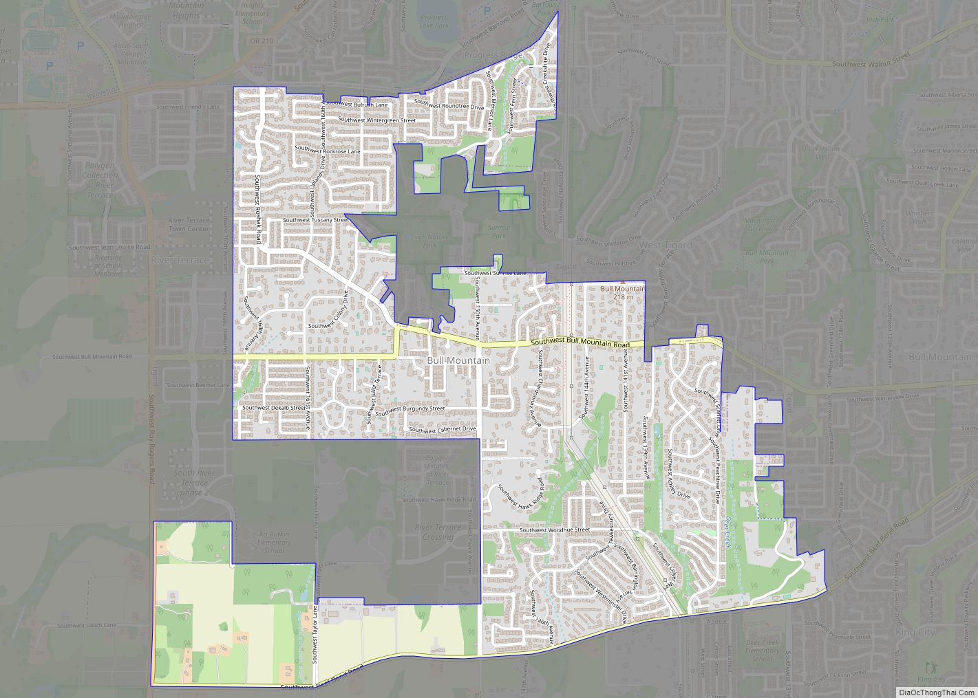
Bull Mountain is an unincorporated community and census-designated place in Washington County, Oregon, United States. Bull Mountain is located mostly on a hill for which the community is named. It is bordered on the east by Tigard, on the south by King City, and Beaverton lies to the north. The north-eastern part of the Bull ... Read more
Brownsville is a city in Linn County, Oregon, United States. As of the 2020 census the population was 1,694. It is the setting for the fictional town of Castle Rock, Oregon, in the 1986 film Stand by Me. Brownsville city overview: Name: Brownsville city LSAD Code: 25 LSAD Description: city (suffix) State: Oregon County: Linn ... Read more
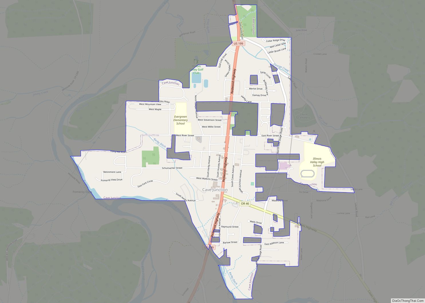
Cave Junction is a city in Josephine County, Oregon, United States. As of the 2020 census, the city population was 1,995. Its motto is the “Gateway to the Oregon Caves”, and the city got its name by virtue of its location at the junction of Redwood Highway (U.S. Route 199) and Caves Highway (Oregon Route ... Read more
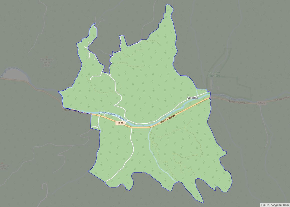
Cascadia is an unincorporated community and census-designated place (CDP) that was established in 1892 on the South Santiam River, 14 miles (23 km) east of the current city of Sweet Home, in Linn County, Oregon, United States. As of the 2010 census it had a population of 147. Originally a stage stop on the Santiam Wagon ... Read more
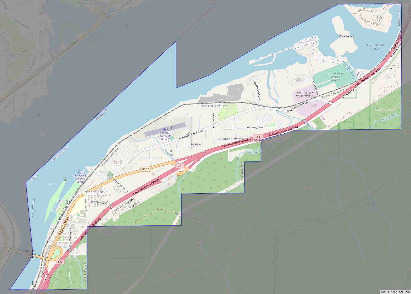
Cascade Locks is a city in Hood River County, Oregon, United States. The city got its name from a set of locks built to improve navigation past the Cascades Rapids of the Columbia River. The U.S. federal government approved the plan for the locks in 1875, construction began in 1878, and the locks were completed ... Read more
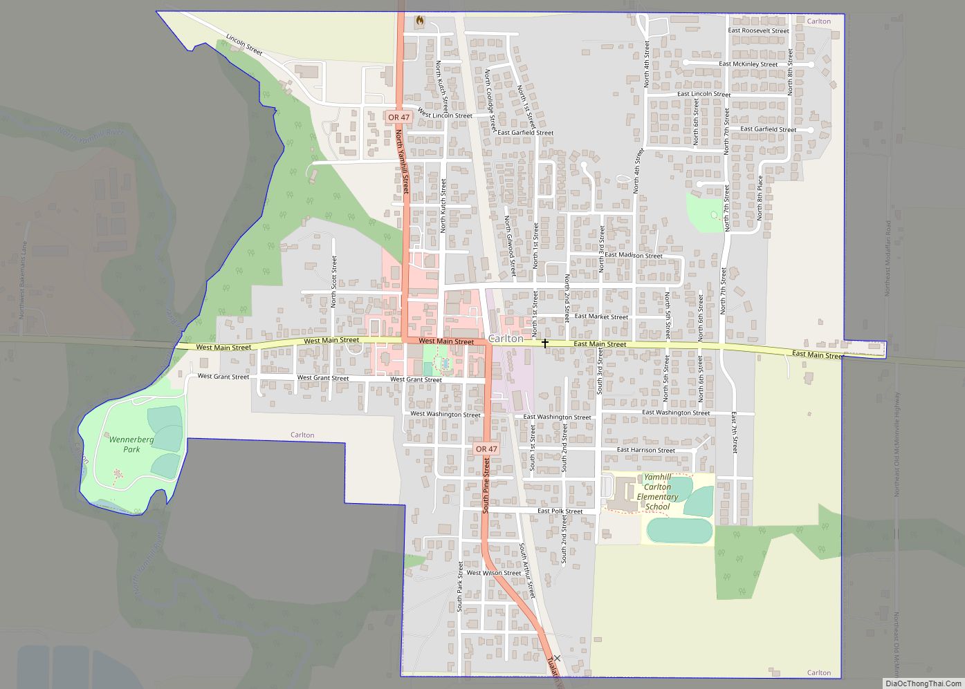
Carlton is a city in Yamhill County, Oregon, United States. The population was 2,135 as of the 2020 Census. Carlton city overview: Name: Carlton city LSAD Code: 25 LSAD Description: city (suffix) State: Oregon County: Yamhill County Incorporated: 1899 Elevation: 198 ft (60.35 m) Total Area: 0.88 sq mi (2.29 km²) Land Area: 0.88 sq mi (2.29 km²) Water Area: 0.00 sq mi (0.00 km²) Total ... Read more
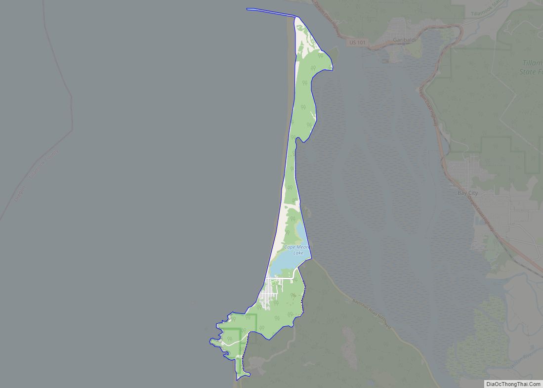
Cape Meares is a census-designated place (CDP) and unincorporated community in Tillamook County, Oregon, United States. The population was 110 at the 2000 census. The community is named after the natural feature of the same name, which in turn was named after John Meares, a British explorer. The Bayocean post office was briefly renamed “Cape ... Read more
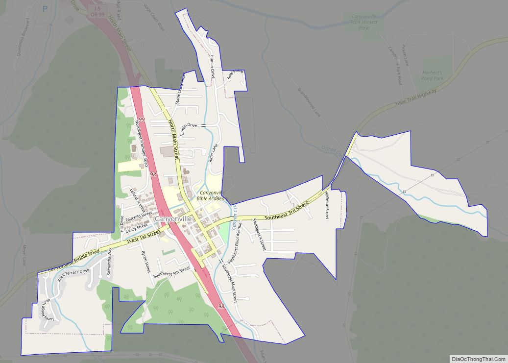
Canyonville is a city in Douglas County, Oregon, United States. The population was 1,884 at the 2010 census. The main regional tourist attraction, the Seven Feathers Casino Resort is in Canyonville. Canyonville city overview: Name: Canyonville city LSAD Code: 25 LSAD Description: city (suffix) State: Oregon County: Douglas County Incorporated: 1901 Elevation: 745 ft (227 m) Total ... Read more
