Cedar Mill is a suburb in the Portland, Oregon metropolitan area of the United States; it is a census-designated place and an unincorporated community in Washington County, north of U.S. Route 26 and west of the Willamette Stone. It received its name from a sawmill on Cedar Mill Creek, which cut Western Redcedars that were once the dominant tree in the area. The mill’s pond was near the intersection of 119th and Cornell Road, and could still be seen into the 1960s, although the mill itself had ceased operating in 1891. The name was established in 1874 with the opening of a U.S. post office named Cedar Mill. As of the 2010 census, the community population was 14,546.
| Name: | Cedar Mill CDP |
|---|---|
| LSAD Code: | 57 |
| LSAD Description: | CDP (suffix) |
| State: | Oregon |
| County: | Multnomah County, Washington County |
| Elevation: | 256 ft (78 m) |
| Total Area: | 3.33 sq mi (8.62 km²) |
| Land Area: | 3.33 sq mi (8.62 km²) |
| Water Area: | 0.00 sq mi (0.00 km²) |
| Total Population: | 17,259 |
| Population Density: | 5,184.44/sq mi (2,001.95/km²) |
| ZIP code: | 97229, 97291 |
| Area code: | 503 and 971 |
| FIPS code: | 4112150 |
| GNISfeature ID: | 1118757 |
Online Interactive Map
Click on ![]() to view map in "full screen" mode.
to view map in "full screen" mode.
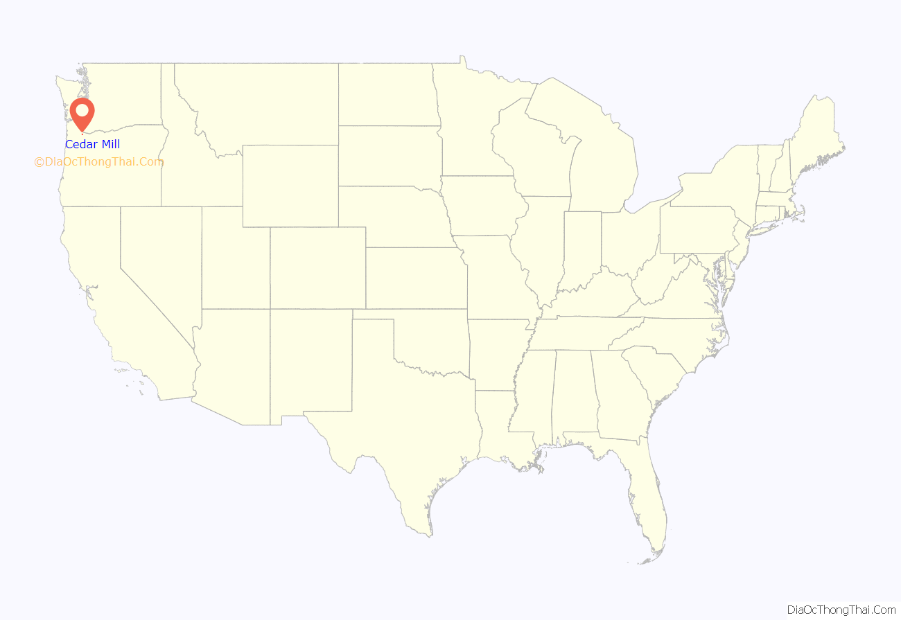
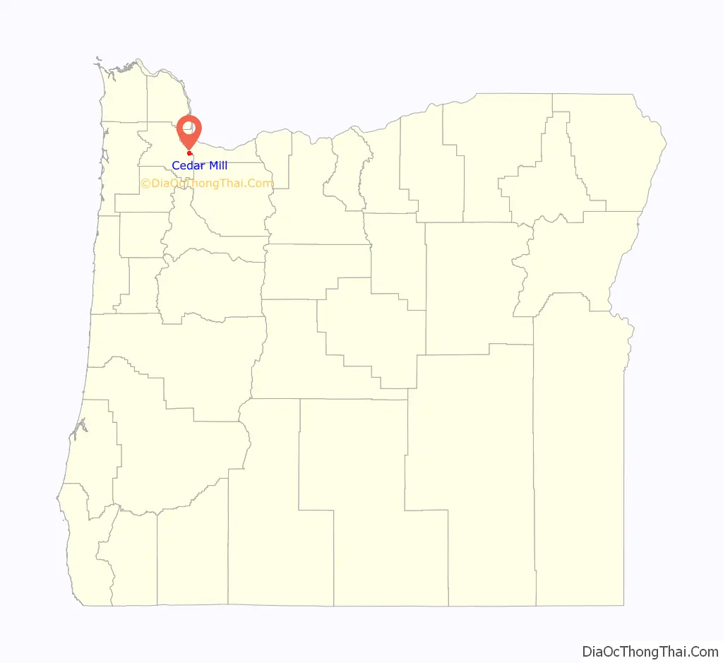
Cedar Mill location map. Where is Cedar Mill CDP?
History
Early history
Before white settlement, the land was inhabited by the Atfalati, a subgroup of the Kalapuya, called the “Tualatin” or “Wapato Lake Indians” by settlers. Nearby Beaverton was known by the Natives as “Cha Kepi”, meaning “Place of the Beaver”. While in 1782 the native population exceeded several thousand, due to diseases brought by the settlers sixty years later, in 1842, the population was merely six hundred. By 1890, the members of the tribe had been reduced to 28 and the last known speaker of the Tualatin language, Louis Kenoyer, died in 1936. Early settlers in the area would recall Native Americans passing through the area, visiting their former lands.
Most of the land in the area, as was typical in the Tualatin Valley, was settled in accord with the Donation Land Claim Act of 1850. Pioneer Samuel Walters was the first white settler to arrive in the area, doing so in 1847. William Cornell, namesake of Cornell Road, settled near what is now the easternmost part of Cedar Mill with his wife Emily in 1852. The area became a school district in 1856.
The sawmill was established in 1859 by John Halsey Jones and his father, Justus, and was the “first organized business” in what is now Cedar Mill. Plans for the mill, which was located on the south side of Cornell Road at McDaniel Road (now N.W. 119th Avenue), were established as early as 1855 by the 23-year old Jones. The Jones Sawmill was sold in December 1869 to John Quincy Adams Young and William Everson, becoming the Young–Everson Mill. It was renamed the Young Brothers Sawmill after J.Q.A. Young’s sons Linc and Jasper acquired it. It ceased operation in 1891 and was abandoned in 1892.
Many of Cedar Mill’s early settlers were Irish Catholics. Thomas and Ann Leahy reached the Portland area in 1852 and in 1865 the Leahys, now including their infant son John, moved into a house on present-day Leahy Road, the family’s namesake. Thomas died in 1874, and Ann in 1913. Following Ann Leahy’s death, the property was divided among John and his brother Hugh. After their deaths in logging accidents in 1929 and 1940 respectively, the property continued in the family and descendants of the Leahy family continue to reside there today. Owen and Mary Murray, the namesake of Murray Road, moved to Oregon in the early 1880s and established a 120-acre farm. Their son Joseph Murray sold the farm due to debts brought on by the Great Depression in 1936.
Mill and post office
According to Oregon Geographic Names, a “Cedar Mill” post office was established in 1874, in the John Quincy Adams Young House, built in 1869, which still stands on Cornell Road and is owned by the Tualatin Hills Park & Recreation District. The name was chosen by Young, who had “been commissioned to establish a post office in the area” and been named the first postmaster. The Young–Everson sawmill, specializing in cedar products, was still the only business operating in the area at the time and was also located directly adjacent to the post office, making “Cedar Mill” a logical choice for the name of the new postal station. Around the same time, in 1874, Young retired from milling, sold the mill to Everson, and moved his family into a new, larger house on the north side of Cornell Road, just across from the 1869-built house that was now being used as a post office. Along with the post office, Young also operated a small store on the ground floor of his former house. In 1976, the Russell family of Cedar Mill had owned the house since 1914.
John Q. A. Young served as Cedar Mill postmaster until December 1881. His successor, George Reeves, moved the post office in 1882 to a new general store that Reeves opened in that year, located just northwest of the intersection of Barnes and Cornell Roads. The Cedar Mill post office, always located within a store, was moved two more times before closing on July 3, 1904. The final stamp cancelled at the post office was owned in 1976 by Bernard P. Young, a descendant of John and Elizabeth Young.
20th century
The present-day Leedy Grange #339 building, near the corner of Saltzman and Cornell Roads and near the Cedar Mill Library, was built in 1900 (according to Leedy Grange 1903). It originally housed a Modern Woodmen organization; however, in 1913 (1906 according to the Grange) the building was sold to the Leedy Grange, and the second story removed. The monthly Cedar Mill Flea Market was held at the grange the first Saturday of each month but was discontinued. The first Flea Market was held in June 2010.
Public transit service to Cedar Mill was operated in the 1940s by Tualatin Valley Stages, which after 1953 became Tualatin Valley Buses, Inc.–part of a consortium of privately owned companies known as the “Blue Bus” lines. It continued to serve the area through the 1960s, until TriMet took over the Blue Bus lines in 1970.
A Cedar Mill Heritage Quilt was created in the summer of 1976 by 15 local women. It detailed various aspects of Cedar Mill history. Former U.S. Senator Maurine Neuberger declared the winner of the quilting competition in September 1976.
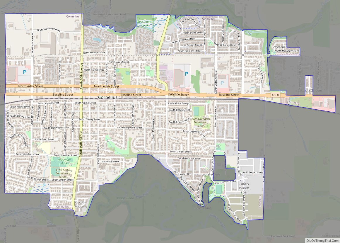
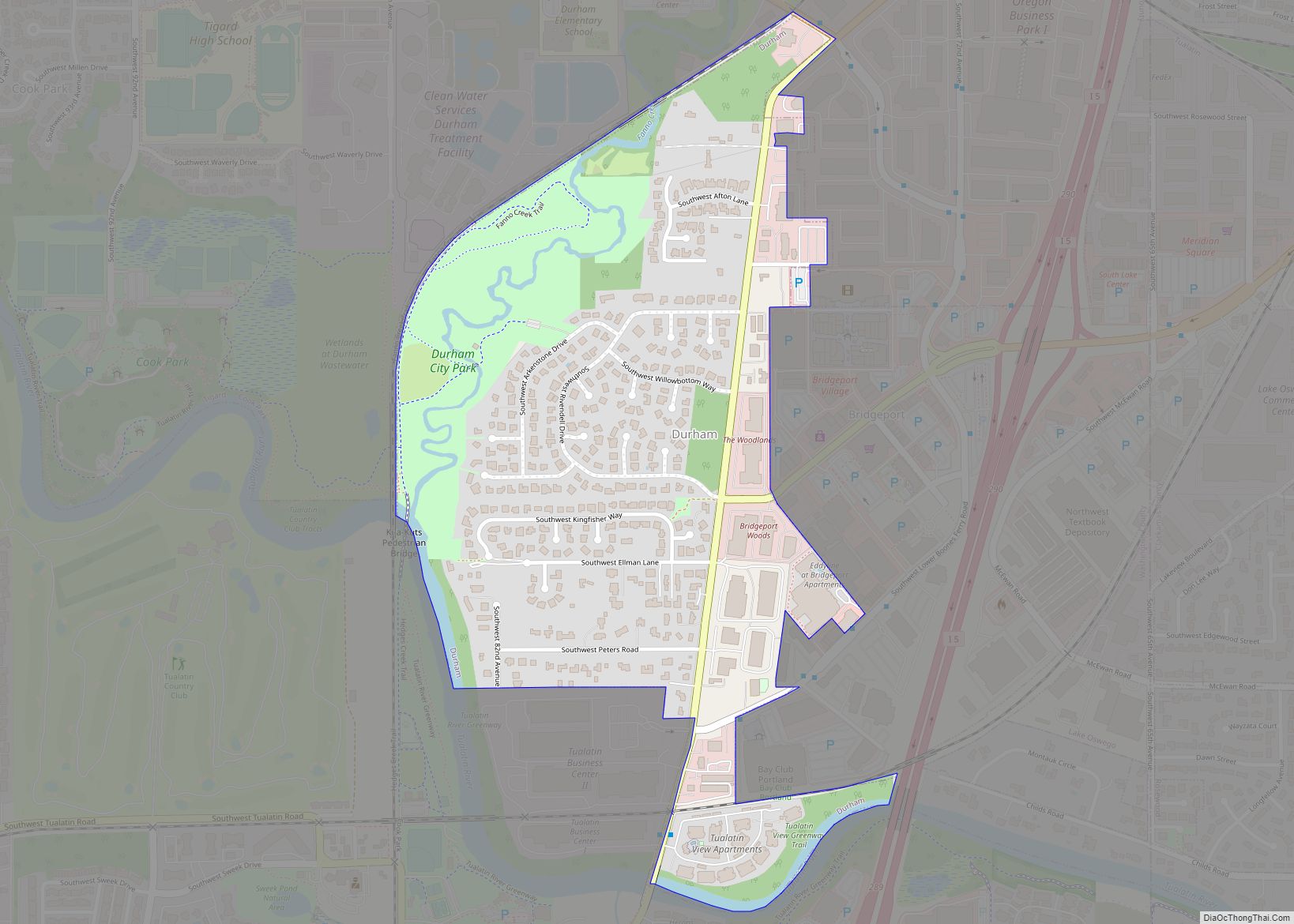
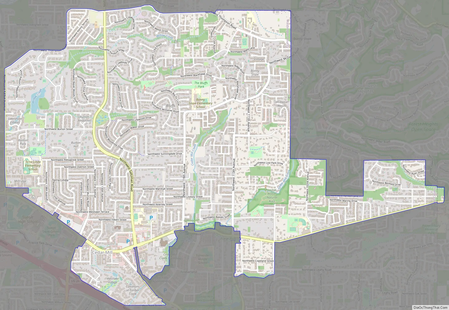
Cedar Mill Road Map
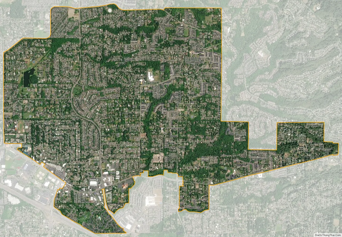
Cedar Mill city Satellite Map
Geography
According to the United States Census Bureau, the CDP has a total area of 3.7 square miles (9.6 km), all land. The appropriately named Cedar Mill Creek flows through the area. The creek begins its course in the Forest Heights neighborhood in northwest Multnomah County, then passes through Cedar Mill before flowing into Beaverton Creek in Tualatin Hills Nature Park. North Johnson Creek, another waterway in the area, begins south of Cedar Mill Creek and joins the main stream at the Nike World Campus. Cedar Mill Falls is the area’s only waterfall, flowing near the Cedar Mill Greenway and JQA Young House. The waterfall, formerly used to provide power for the mill, is a 32-foot high basaltic rock formation. The Sue Conger Memorial Boardwalk, opened in June 2013, allows visitors of all abilities to view the falls. The only lake in the area is Hartung Lake, in the Hartung Farms neighborhood. Johnson Creek also flows through the area.
See also
Map of Oregon State and its subdivision: Map of other states:- Alabama
- Alaska
- Arizona
- Arkansas
- California
- Colorado
- Connecticut
- Delaware
- District of Columbia
- Florida
- Georgia
- Hawaii
- Idaho
- Illinois
- Indiana
- Iowa
- Kansas
- Kentucky
- Louisiana
- Maine
- Maryland
- Massachusetts
- Michigan
- Minnesota
- Mississippi
- Missouri
- Montana
- Nebraska
- Nevada
- New Hampshire
- New Jersey
- New Mexico
- New York
- North Carolina
- North Dakota
- Ohio
- Oklahoma
- Oregon
- Pennsylvania
- Rhode Island
- South Carolina
- South Dakota
- Tennessee
- Texas
- Utah
- Vermont
- Virginia
- Washington
- West Virginia
- Wisconsin
- Wyoming