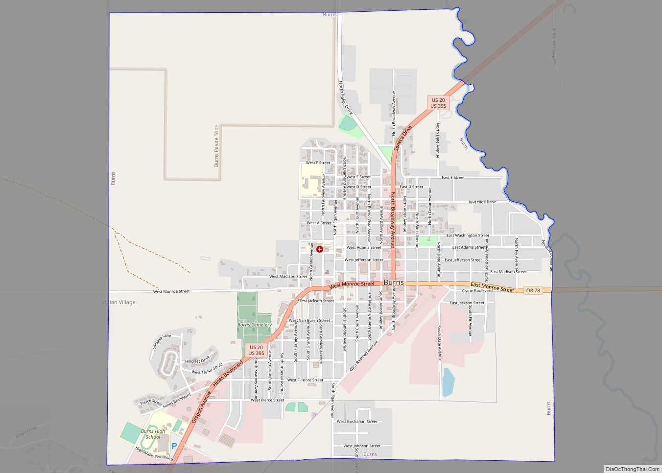
Burns is a city in and the county seat of Harney County, in the U.S. state of Oregon. According to the 2010 census, the population was 2,806. Burns and the nearby city of Hines are home to about 60 percent of the people in the sparsely populated county, by area the largest in Oregon and the ninth largest in the United States.
The Burns–Hines region has a high-desert climate but was much wetter in the recent geologic past. The Harney Basin was the largest of many depressions in which lakes formed in southeastern Oregon during the late Pleistocene. Remnants of an ancient lake that reached as far north as Burns are at the center of the Malheur National Wildlife Refuge, south of the city.
Northern Paiutes or their ancestors, who were hunter-gatherers, have lived in the region for thousands of years. Since the arrival of Euro-Americans in the 19th century, cattle ranching and other forms of agriculture have dominated land use in the area. In 1930, logging in the mountains north of Burns led to the creation of Hines, a lumber company town, and the timber industry remained important to the local economy until the 1990s. In addition to ranching, a variety of private and public enterprises support the Burns–Hines economy in the 21st century. Annual events include a migratory bird festival, the county fair, and a country music jamboree.
| Name: | Burns city |
|---|---|
| LSAD Code: | 25 |
| LSAD Description: | city (suffix) |
| State: | Oregon |
| County: | Harney County |
| Incorporated: | 1891 |
| Elevation: | 4,147 ft (1,264 m) |
| Total Area: | 3.55 sq mi (9.20 km²) |
| Land Area: | 3.55 sq mi (9.20 km²) |
| Water Area: | 0.00 sq mi (0.00 km²) |
| Total Population: | 2,730 |
| Population Density: | 769.01/sq mi (296.90/km²) |
| ZIP code: | 97720 |
| Area code: | 541 |
| FIPS code: | 4109800 |
| GNISfeature ID: | 1118337 |
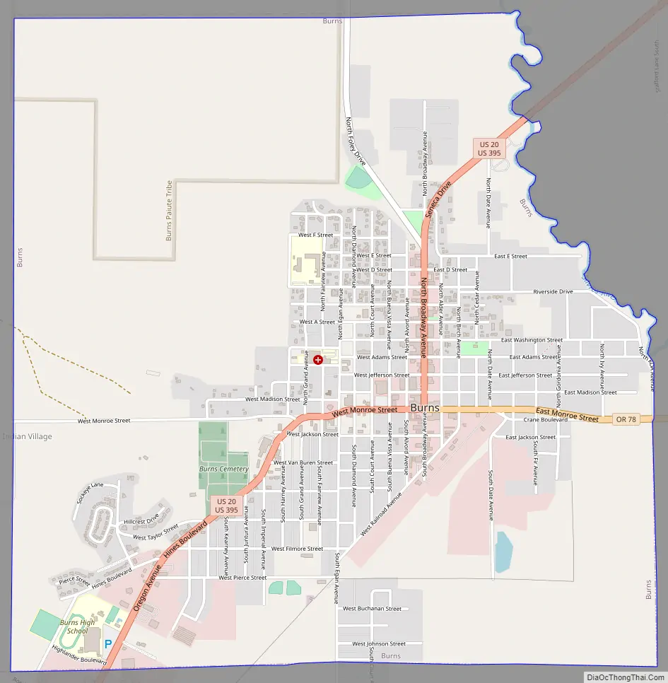
Online Interactive Map
Click on ![]() to view map in "full screen" mode.
to view map in "full screen" mode.
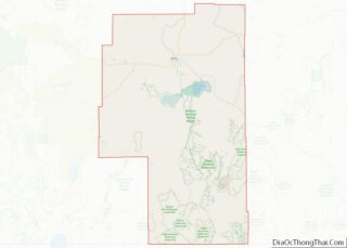
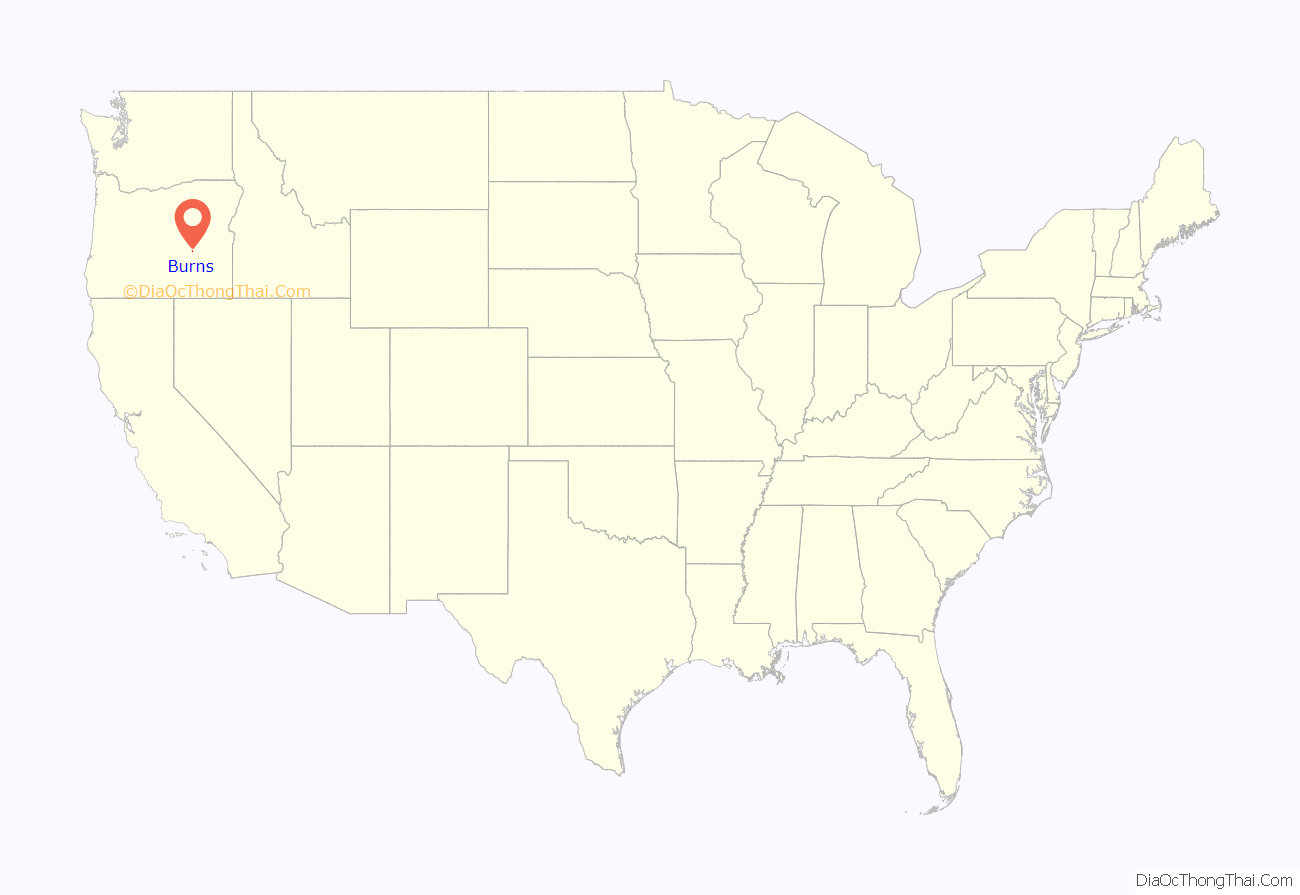
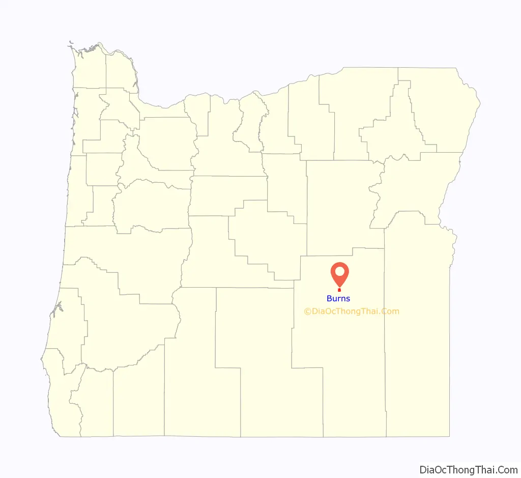
Burns location map. Where is Burns city?
History
Tribal
Archeologists have found evidence of human habitation in the general vicinity of Burns from as early as 10,000 years ago. Members of the contemporary Burns Paiute Tribe of Harney County, descended mainly from the Wadatika band of Paiutes, were hunter-gatherers throughout central and southern Oregon. The Wadatikas were named after the wada seeds collected as food from near Malheur Lake. Their territory covered about 5,300 square miles (14,000 km) from the Cascade Range to near Boise and from the southern Blue Mountains to south of Steens Mountain. Scattered in the 19th century by clashes with white settlers and soldiers and through forced removal to distant reservations, some of the Paiutes eventually returned to Harney County.
In the 1930s, the Burns Paiute Tribe began buying land near Burns and holding tribal elections. By the late 1960s, the tribe had adopted a constitution and tribal bylaws, and in 1972 the Burns Paiute formally became an independent tribe, eligible to enter into contracts with other governments and legal entities. The tribe owns the Burns Paiute Reservation, 770 acres (310 ha) north of Burns, and individual members of the tribe own more than 11,000 acres (4,500 ha) of land elsewhere in the county. In 1991, the tribe had about 350 members, and about 200 lived on the reservation.
Cities and ranches
After the arrival of Euro-American settlers in the 19th century, Burns was established in the 1880s. It was formally incorporated after Harney County’s creation in 1889 through the splitting of Grant County into two counties. Early settler, merchant, and county commissioner George McGowan named the city after the Scottish poet Robert Burns. By 1891, the community had stores, a post office, hotels, and other businesses. McGowan was the town’s first postmaster.
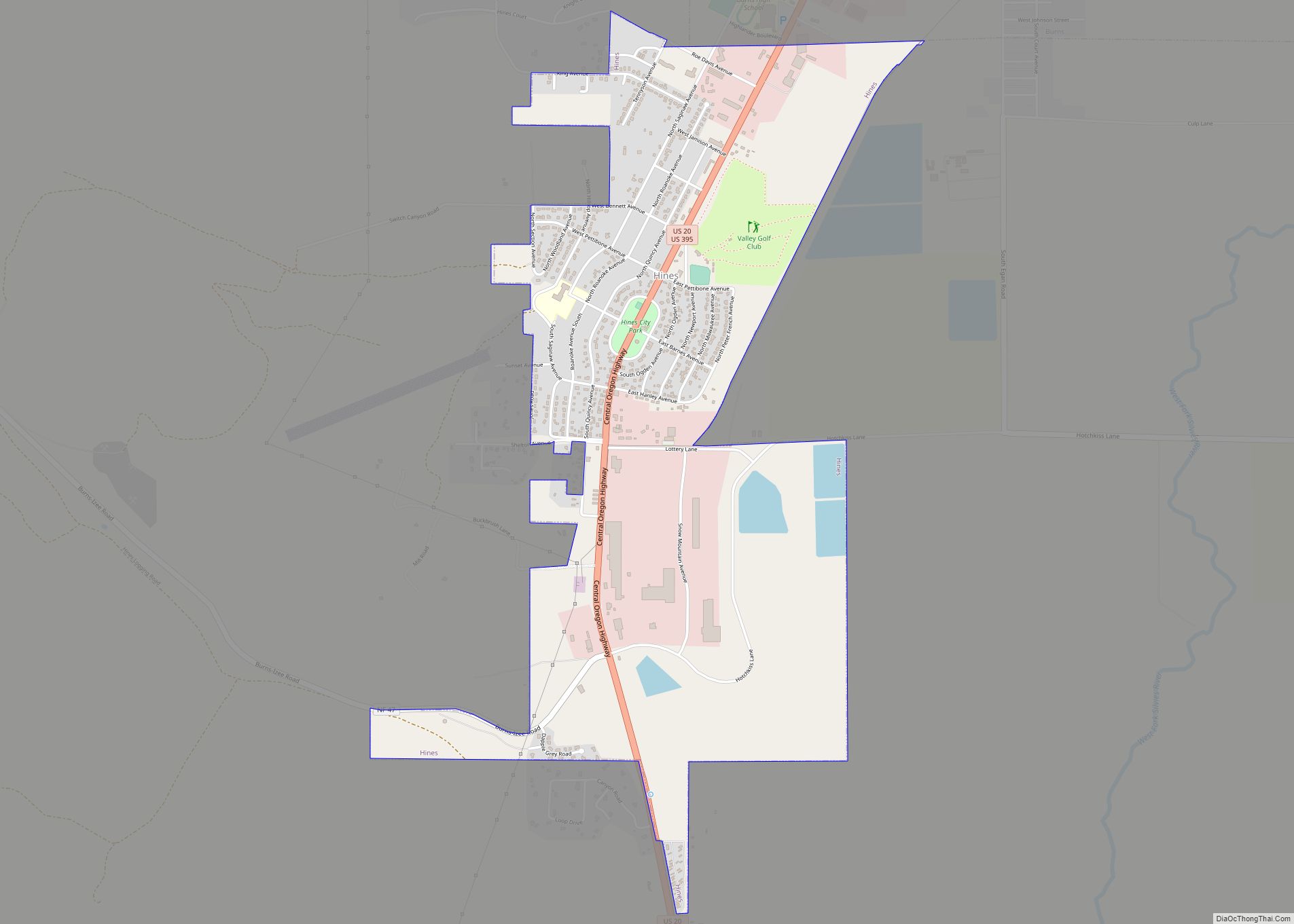
In the 1920s, timber cutting and milling brought many newcomers to the region. In 1928, the Edward Hines Lumber Company acquired from the U.S. Forest Service the rights to cut timber in the Blue Mountains near Seneca, north of Burns. After winning the timber contract, the Hines Company built the 52-mile (84 km) Oregon and Northwestern Railroad between Burns and Seneca. Edward Hines, the company owner, built a lumber mill and company town, incorporated as the City of Hines in 1930. Timber and logging remained important to the local economy until the 1990s, when the area’s last lumber mill closed for lack of timber.
Cattle ranching in the region began as early as the 1860s and expanded after passage of the Desert Land Act of 1877. The act promoted development of arid and semi-arid public land in the western United States by making 320-acre (130 ha) plots available to individuals willing to “reclaim, irrigate, and cultivate” the land. Some of the Harney County ranches established in the 19th century still exist in the 21st. Agricultural revenue for Harney County in 2011 totaled about $84 million. Of this, about 65 percent came from cattle sales, 29 percent from the sale of alfalfa hay, and most of the rest from other crops and the sale of horses.
Burns Road Map
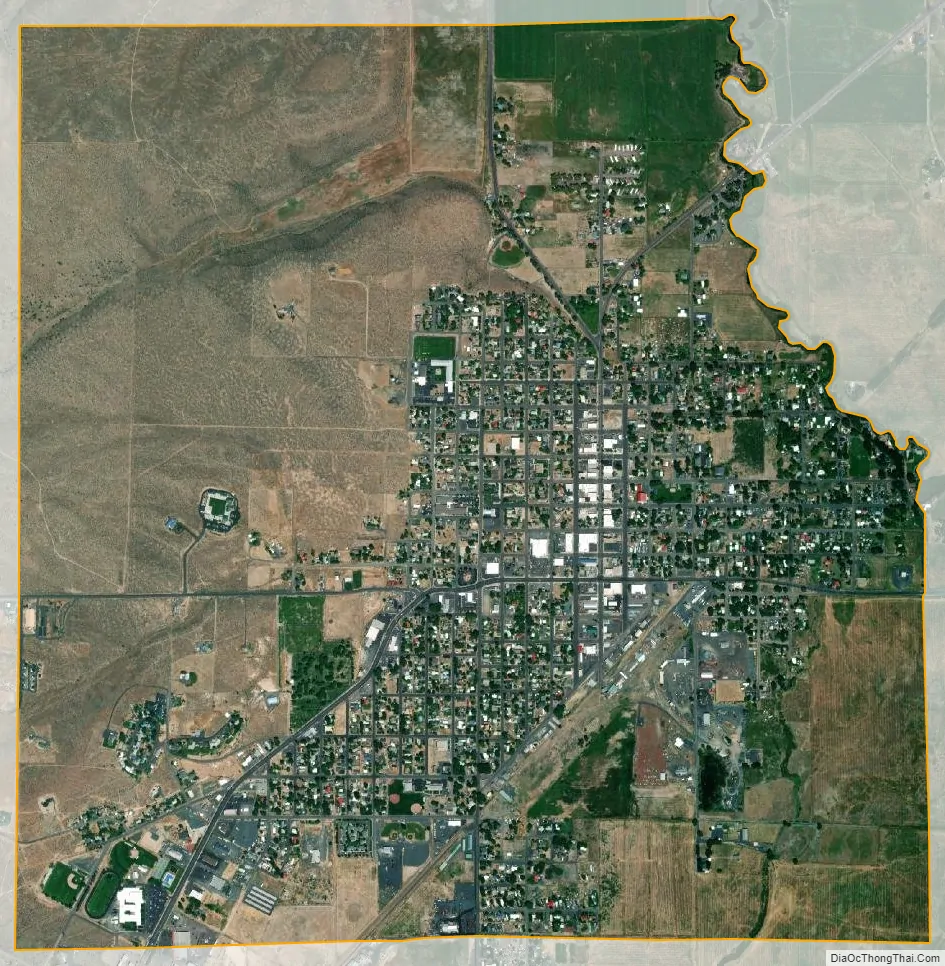
Burns city Satellite Map
Geography
Harney County is the largest county in Oregon and the ninth largest in the United States. It covers about 10,000 square miles (26,000 km) but has a total population of only about 7,600. Most of that population lives in Burns or Hines, about 2 miles (3 km) southwest of Burns. Burns had about 2,800 residents in 2010 and Hines about 1,600, for a total of 4,400, nearly 60 percent of the county population.
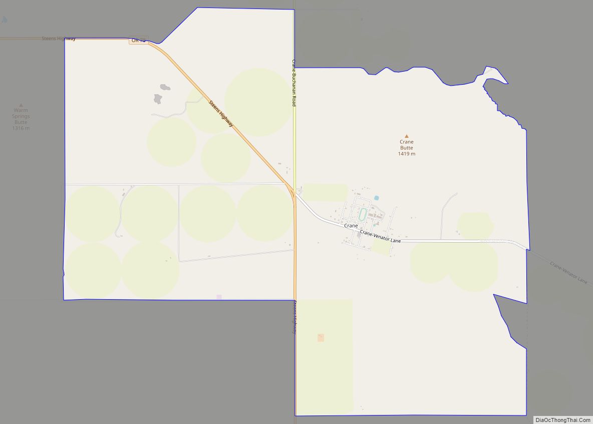
The city is 132 miles (212 km) east of Bend, and 132 miles (212 km) west of Ontario, Oregon, on U.S. Route 20 at its intersection with U.S. Route 395. Burns is about 200 miles (322 km) south of Pendleton. Oregon Route 78 runs between Burns and communities to the southeast including Crane, Princeton, and Burns Junction, about 100 miles (161 km) away. A fourth highway, Oregon Route 205, links the city to the Malheur National Wildlife Refuge, 36 miles (58 km) to the south, and to Frenchglen, further south near Steens Mountain.
According to the United States Census Bureau, the city has a total area of 3.55 square miles (9.19 km), all land.
Geology
Burns is in southeastern Oregon near the northern edge of the arid Harney Basin. The basin is part of the High Lava Plains, a region dominated by erupting volcanoes in the late Miocene, five to ten million years ago. Centered on the Brothers Fault Zone, which runs southeast–northwest between Steens Mountain and Bend, the High Lava Plains merge with the Blue Mountains to the north and the Basin and Range Province to the south.
Shallow basins formed by crustal stretching in the Basin and Range province were much wetter during the late Pleistocene, up to 11,000 years ago, than they are in the 21st century. Lakes formed in these basins, including those in the southern part of the High Lava Plains. Among these, the largest depression was the Harney Basin, covering 5,300 square miles (14,000 km). Within the Harney Basin, ancient Malheur Lake—the 21st-century remnants of which include Malheur Lake, Harney Lake, and Mud Lake—covered 900 square miles (2,300 km) and extended as far north as Burns. These remnant wetlands have become the Malheur National Wildlife Refuge.
Climate
Burns has a semi-arid continental climate (Köppen BSk) bordering upon a continental Mediterranean climate (Dsb) that averages 99 days with precipitation each year. Cloud cover varies from an average of 25 percent in July to 76 percent in January. Normal annual precipitation amounts to about 11 inches or 279 millimetres, including 34 inches or 86 centimetres of snow. The average relative humidity, measured at 4 p.m. daily, is 42 percent, varying from 21 percent in July to 68 percent in December and January. The normal monthly daily average temperature ranges from about 24 °F (−4 °C) in December to 67 °F (19 °C) in July. On average, highs reach 90 °F (32 °C) on 24 days annually and stay at or below the freezing mark on 31 days, while lows fall to or below 0 °F (−18 °C) on an average of 11 nights. The average first and last occurrences of freezing temperatures are September 2 and June 21, respectively, allowing a growing season of 72 days.
In January 1950, during a series of snowstorms the National Weather Service has identified as one of Oregon’s top 10 weather events of the 20th century, about 32 inches (81 cm) of snow fell on Burns. During another top-10 event, which occurred in February 1933, the temperature at Seneca reached −54 °F (−48 °C), the lowest ever recorded in Oregon. By highway, Seneca is about 45 miles (72 km) north of Burns in the Blue Mountains. At Burns itself, record temperatures since 1939 range from −30 °F (−34 °C) on December 8, 2013, up to 107 °F (42 °C) on July 12, 2002; the record low maximum is −3 °F (−19 °C) on January 6, 1982, and December 21, 1990, while the record high minimum is 73 °F (23 °C) on July 27 and 30, 1939.
- ^ Mean monthly maxima and minima (i.e. the expected highest and lowest temperature readings at any point during the year or given month) calculated based on data at said location from 1991 to 2020.
See also
Map of Oregon State and its subdivision: Map of other states:- Alabama
- Alaska
- Arizona
- Arkansas
- California
- Colorado
- Connecticut
- Delaware
- District of Columbia
- Florida
- Georgia
- Hawaii
- Idaho
- Illinois
- Indiana
- Iowa
- Kansas
- Kentucky
- Louisiana
- Maine
- Maryland
- Massachusetts
- Michigan
- Minnesota
- Mississippi
- Missouri
- Montana
- Nebraska
- Nevada
- New Hampshire
- New Jersey
- New Mexico
- New York
- North Carolina
- North Dakota
- Ohio
- Oklahoma
- Oregon
- Pennsylvania
- Rhode Island
- South Carolina
- South Dakota
- Tennessee
- Texas
- Utah
- Vermont
- Virginia
- Washington
- West Virginia
- Wisconsin
- Wyoming