Brownsville is a city in Linn County, Oregon, United States. As of the 2020 census the population was 1,694. It is the setting for the fictional town of Castle Rock, Oregon, in the 1986 film Stand by Me.
| Name: | Brownsville city |
|---|---|
| LSAD Code: | 25 |
| LSAD Description: | city (suffix) |
| State: | Oregon |
| County: | Linn County |
| Incorporated: | 1876 |
| Elevation: | 265 ft (81 m) |
| Total Area: | 1.36 sq mi (3.52 km²) |
| Land Area: | 1.36 sq mi (3.52 km²) |
| Water Area: | 0.00 sq mi (0.00 km²) |
| Total Population: | 1,694 |
| Population Density: | 1,247.42/sq mi (481.71/km²) |
| ZIP code: | 97327 |
| Area code: | 541 |
| FIPS code: | 4109050 |
| GNISfeature ID: | 1118140 |
| Website: | www.ci.brownsville.or.us |
Online Interactive Map
Click on ![]() to view map in "full screen" mode.
to view map in "full screen" mode.
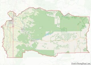
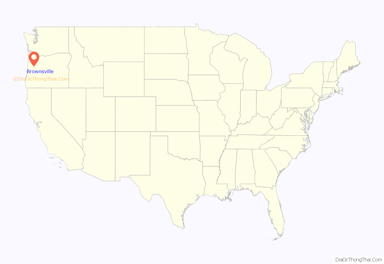
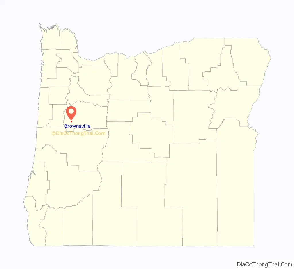
Brownsville location map. Where is Brownsville city?
History
Establishment
Brownsville was originally known as “Calapooya” after the area’s original inhabitants, the Kalapuya Indians, or “Kirk’s Ferry”, after the ferry operated across the Calapooia River by early settlers Alexander and Sarah Kirk. When Linn County was created from the southern portion of Champoeg County on December 28, 1847, the Provisional Legislature named Calapooia as the county seat. The Spaulding School in Brownsville served as the original county courthouse. Brownsville was named in honor of Hugh L. Brown, who settled there in 1846 and opened the first store.
In 1851, the Territorial Legislature passed an act establishing Albany as the county seat. A special election in 1856 reaffirmed Albany as the county seat.
Stand by Me
In the mid-1980s, Brownsville assumed a modicum of international renown as the location for the film Stand by Me, directed by Rob Reiner. The film was shot in and around the community in June and July 1985, with theatrical release in August 1986. About 100 local residents were used as extras in the film, and the event was memorialized in 2007 with the first community celebration of Stand by Me Day on July 23 of that year. The date for Stand by Me Day was chosen by local resident and expert on the film Linda McCormick, who recalled in a 2016 interview that the day had been picked as one that did not interfere with other regional events and “wasn’t too close to the start of the school year.” About 2,000 visitors made the pilgrimage to Brownsville for the 2007 event. The celebration has been held annually since that year, with the exception of 2020, due to the Covid 19 pandemic. The 2016 iteration, honoring the 30th anniversary of the cinematic release, introduced the first “Ray Brower Memorial 5K Walk/Run,” named in honor of the dead body around which the film’s plot revolved.
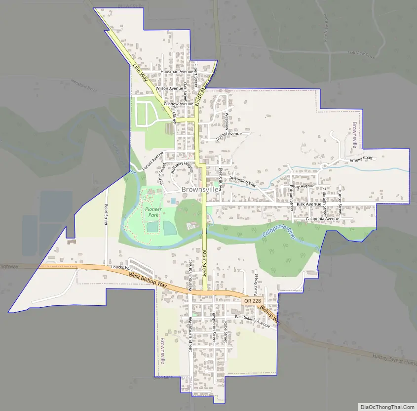
Brownsville Road Map
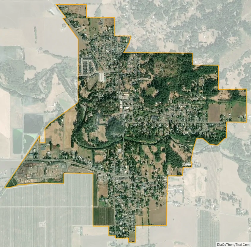
Brownsville city Satellite Map
Geography
According to the United States Census Bureau, the city has a total area of 1.34 square miles (3.47 km), all land.
See also
Map of Oregon State and its subdivision: Map of other states:- Alabama
- Alaska
- Arizona
- Arkansas
- California
- Colorado
- Connecticut
- Delaware
- District of Columbia
- Florida
- Georgia
- Hawaii
- Idaho
- Illinois
- Indiana
- Iowa
- Kansas
- Kentucky
- Louisiana
- Maine
- Maryland
- Massachusetts
- Michigan
- Minnesota
- Mississippi
- Missouri
- Montana
- Nebraska
- Nevada
- New Hampshire
- New Jersey
- New Mexico
- New York
- North Carolina
- North Dakota
- Ohio
- Oklahoma
- Oregon
- Pennsylvania
- Rhode Island
- South Carolina
- South Dakota
- Tennessee
- Texas
- Utah
- Vermont
- Virginia
- Washington
- West Virginia
- Wisconsin
- Wyoming