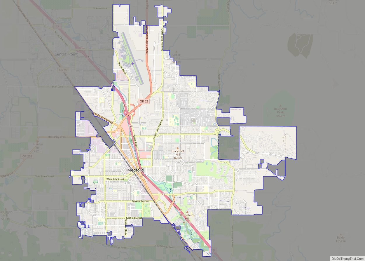
Central Point is a city in Jackson County, Oregon, United States. The population was 17,169 as of 2010. The city shares its southern border with Medford and is a part of the Medford metropolitan area. Central Point is home of the Jackson County Fair that occurs in July.
| Name: | Central Point city |
|---|---|
| LSAD Code: | 25 |
| LSAD Description: | city (suffix) |
| State: | Oregon |
| County: | Jackson County |
| Incorporated: | 1889 |
| Elevation: | 1,272 ft (388 m) |
| Total Area: | 3.94 sq mi (10.21 km²) |
| Land Area: | 3.94 sq mi (10.21 km²) |
| Water Area: | 0.00 sq mi (0.00 km²) |
| Total Population: | 18,997 |
| Population Density: | 4,820.35/sq mi (1,861.30/km²) |
| ZIP code: | 97502 |
| Area code: | Area code 541/458 |
| FIPS code: | 4112400 |
| GNISfeature ID: | 1118785 |
| Website: | www.centralpointoregon.gov |
Online Interactive Map
Click on ![]() to view map in "full screen" mode.
to view map in "full screen" mode.
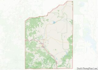
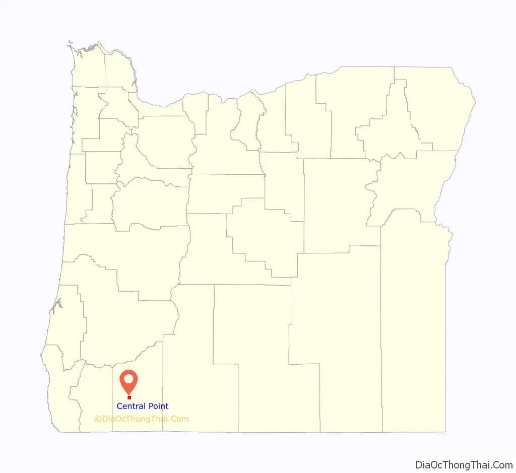
Central Point location map. Where is Central Point city?

History
Isaac Constant, a pioneer who settled here in 1852, named the location Central Point because of its location at a crossroads in the middle of the Rogue Valley. At this point, the main north–south road from the Willamette Valley met the road between Jacksonville and settlements along the Rogue River. In about 1870, Magruder Brothers opened a store at the crossroads. In 1872, a post office was established here under the name Central Point.
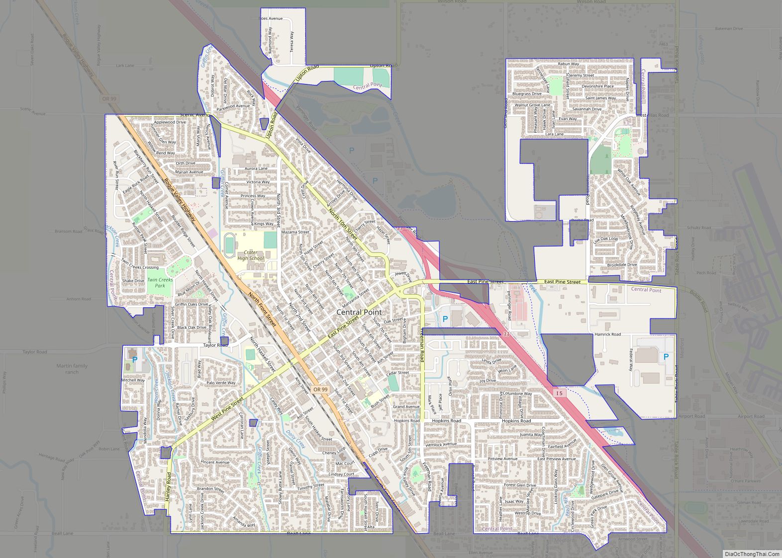
Central Point Road Map
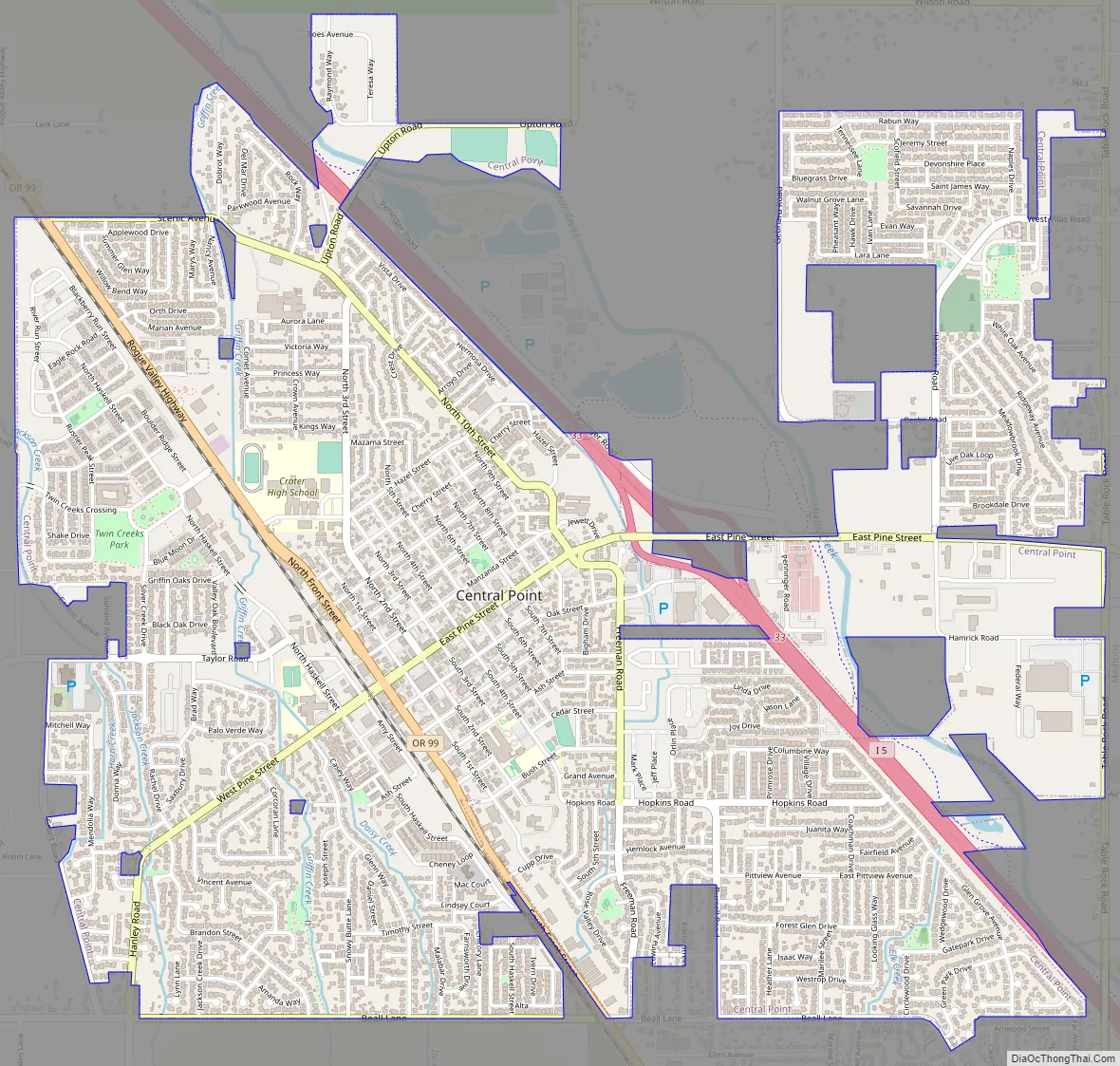
Central Point city Satellite Map

Geography
According to the United States Census Bureau, the city has a total area of 3.90 square miles (10.10 km), all of it land.
The city lies at an elevation of about 1,272 feet (388 m) along Oregon Highway 99 and Interstate 5 northwest of Medford. Jacksonville is to the south and Gold Hill to the northwest. The Central Oregon and Pacific Railroad passes through Central Point.
Griffin Creek, a tributary of Bear Creek, joins the larger stream at Central Point. The Bear Creek Greenway, a biking and hiking trail connecting Ashland, Talent, Phoenix and Medford along Bear Creek, also passes through Central Point.
See also
Map of Oregon State and its subdivision: Map of other states:- Alabama
- Alaska
- Arizona
- Arkansas
- California
- Colorado
- Connecticut
- Delaware
- District of Columbia
- Florida
- Georgia
- Hawaii
- Idaho
- Illinois
- Indiana
- Iowa
- Kansas
- Kentucky
- Louisiana
- Maine
- Maryland
- Massachusetts
- Michigan
- Minnesota
- Mississippi
- Missouri
- Montana
- Nebraska
- Nevada
- New Hampshire
- New Jersey
- New Mexico
- New York
- North Carolina
- North Dakota
- Ohio
- Oklahoma
- Oregon
- Pennsylvania
- Rhode Island
- South Carolina
- South Dakota
- Tennessee
- Texas
- Utah
- Vermont
- Virginia
- Washington
- West Virginia
- Wisconsin
- Wyoming