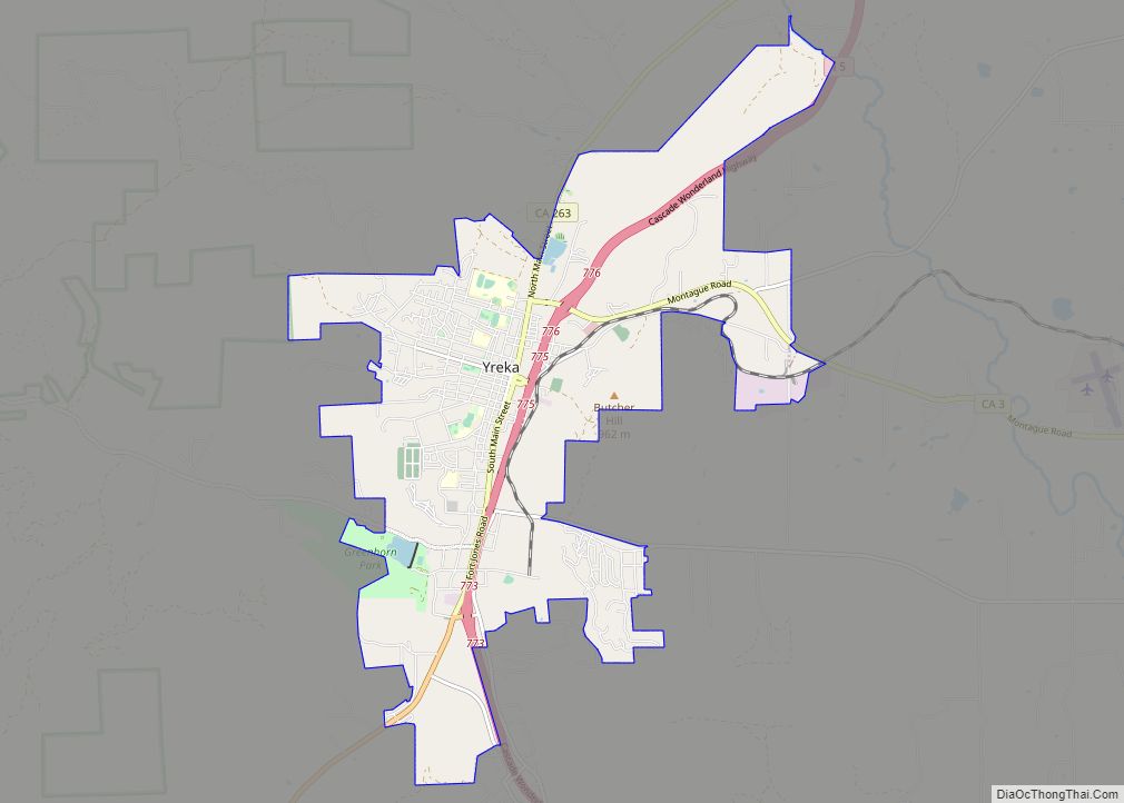
Yreka (/waɪˈriːkə/ wy-REE-kə) is the county seat of Siskiyou County, California, United States, near the Shasta River; the city has an area of about 10 square miles (26 km), most of it land. As of the 2020 United States Census, the population was 7,807, reflecting a meager increase from 7,765 counted in the 2010 Census. Yreka ... Read more
Map of US Cities and Places
Yountville (/ˈjɔːntvɪl/ or /ˈjaʊntvɪl/) is a town in Napa County, in the Wine Country of California, United States. Located in the North Bay region of the Bay Area, the population was 3,436 at the 2020 census. Almost a third of the town’s population lives at the Veterans Home of California. Yountville is a popular tourist ... Read more
Zayante (Ohlone: Sayante) is a census-designated place (CDP) in Santa Cruz County, California. It is a residential area located on Zayante Creek. Zayante sits at an elevation of 699 feet (213 m). The 2020 United States census reported Zayante’s population was 729. Zayante CDP overview: Name: Zayante CDP LSAD Code: 57 LSAD Description: CDP (suffix) State: ... Read more
Yucca Valley is an incorporated town in San Bernardino County, California, United States. The population was 20,700 as of the 2010 census. Yucca Valley lies 17 miles (27 km) west of Twentynine Palms, 27 miles (43 km) north of Palm Springs, 62 miles (100 km) south of Barstow via State Route 247 and 55 miles (89 km) east of ... Read more
Yucaipa (Serrano: Yukaipa’t) is a city located 10 miles (16 km) east of San Bernardino, in San Bernardino County, California, United States. The population was 54,542 at the 2020 census, up from 51,367 at the 2010 census. Yucaipa has the distinction of being the longtime home to a large population of Serrano Native Americans. Yucaipa city ... Read more
Aguilar is a Statutory Town located in Las Animas County, Colorado, United States. The town population was 456 at the 2020 United States Census. Cattleman and prominent pioneer José Ramón Aguilar founded the town in 1894. Aguilar town overview: Name: Aguilar town LSAD Code: 43 LSAD Description: town (suffix) State: Colorado County: Las Animas County ... Read more
Aetna Estates is an unincorporated community and a census-designated place (CDP) located in and governed by Arapahoe County, Colorado, United States. The CDP is a part of the Denver–Aurora–Lakewood, CO Metropolitan Statistical Area. The population of the Aetna Estates CDP was 1,496 at the United States Census 2020. The unincorporated community is surrounded by Aurora ... Read more
Acres Green is an unincorporated community and a census-designated place (CDP) located in and governed by Douglas County, Colorado, United States. The CDP is a part of the Denver–Aurora–Lakewood, CO Metropolitan Statistical Area. The population of the Acres Green CDP was 2,922 at the 2020 United States Census. The community lies in ZIP Code 80124. ... Read more
Alamosa East is an unincorporated community and a census-designated place (CDP) located in and governed by Alamosa County, Colorado, United States. The population of the Alamosa East CDP was 1,453 at the United States Census 2020. The Alamosa post office (Zip code 81101) serves the area. Alamosa East CDP overview: Name: Alamosa East CDP LSAD ... Read more
Akron is the Statutory Town that is the county seat and the most populous municipality of Washington County, Colorado, United States. The town population was 1,757 at the 2020 United States Census. Akron town overview: Name: Akron town LSAD Code: 43 LSAD Description: town (suffix) State: Colorado County: Washington County Incorporated: 1887-09-22 Elevation: 4,659 ft (1,420 m) ... Read more
The Air Force Academy is a census-designated place (CDP) located in El Paso County, Colorado, United States. The CDP includes the developed portion of the United States Air Force Academy, including the cadet housing facilities. The CDP is a part of the Colorado Springs, CO Metropolitan Statistical Area. The USAF Academy post office (ZIP Codes ... Read more
Alma is a statutory town in Park County, Colorado, United States. The town population was 296 at the 2020 United States Census. Alma is located West and South of the Denver-Aurora-Lakewood, CO Metropolitan Statistical Area and the Front Range Urban Corridor. Alma town overview: Name: Alma town LSAD Code: 43 LSAD Description: town (suffix) State: ... Read more