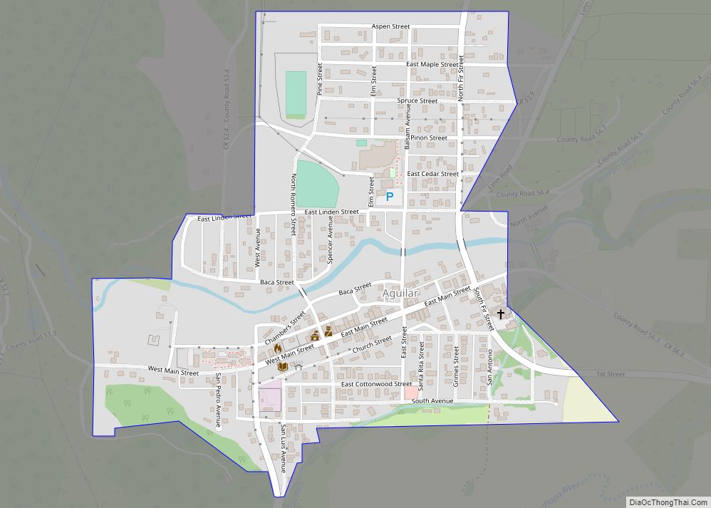
Aguilar is a Statutory Town located in Las Animas County, Colorado, United States. The town population was 456 at the 2020 United States Census. Cattleman and prominent pioneer José Ramón Aguilar founded the town in 1894.
| Name: | Aguilar town |
|---|---|
| LSAD Code: | 43 |
| LSAD Description: | town (suffix) |
| State: | Colorado |
| County: | Las Animas County |
| Founded: | 1894 |
| Elevation: | 6,394 ft (1,949 m) |
| Total Area: | 0.39 sq mi (1.02 km²) |
| Land Area: | 0.39 sq mi (1.02 km²) |
| Water Area: | 0.00 sq mi (0.00 km²) |
| Total Population: | 456 |
| Population Density: | 1,163.27/sq mi (448.79/km²) |
| ZIP code: | 81020 |
| Area code: | 719 |
| FIPS code: | 0800760 |
| GNISfeature ID: | 0194464 |
| Website: | aguilarco.us |
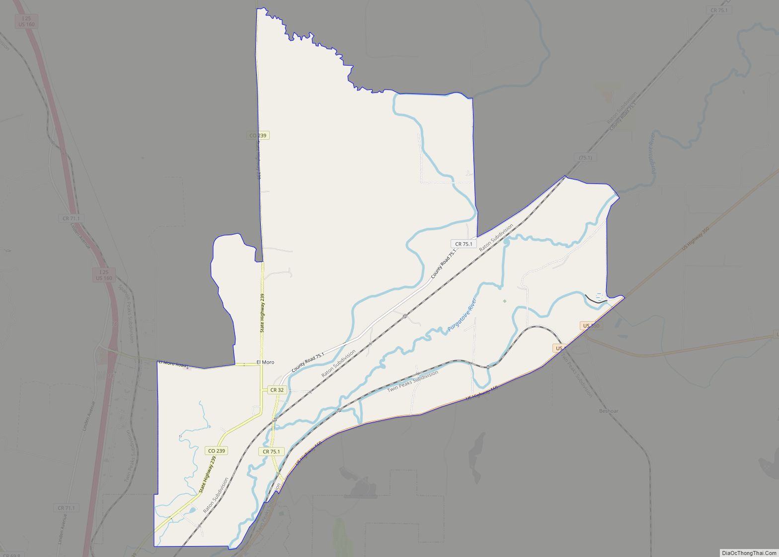
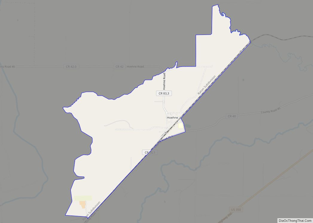
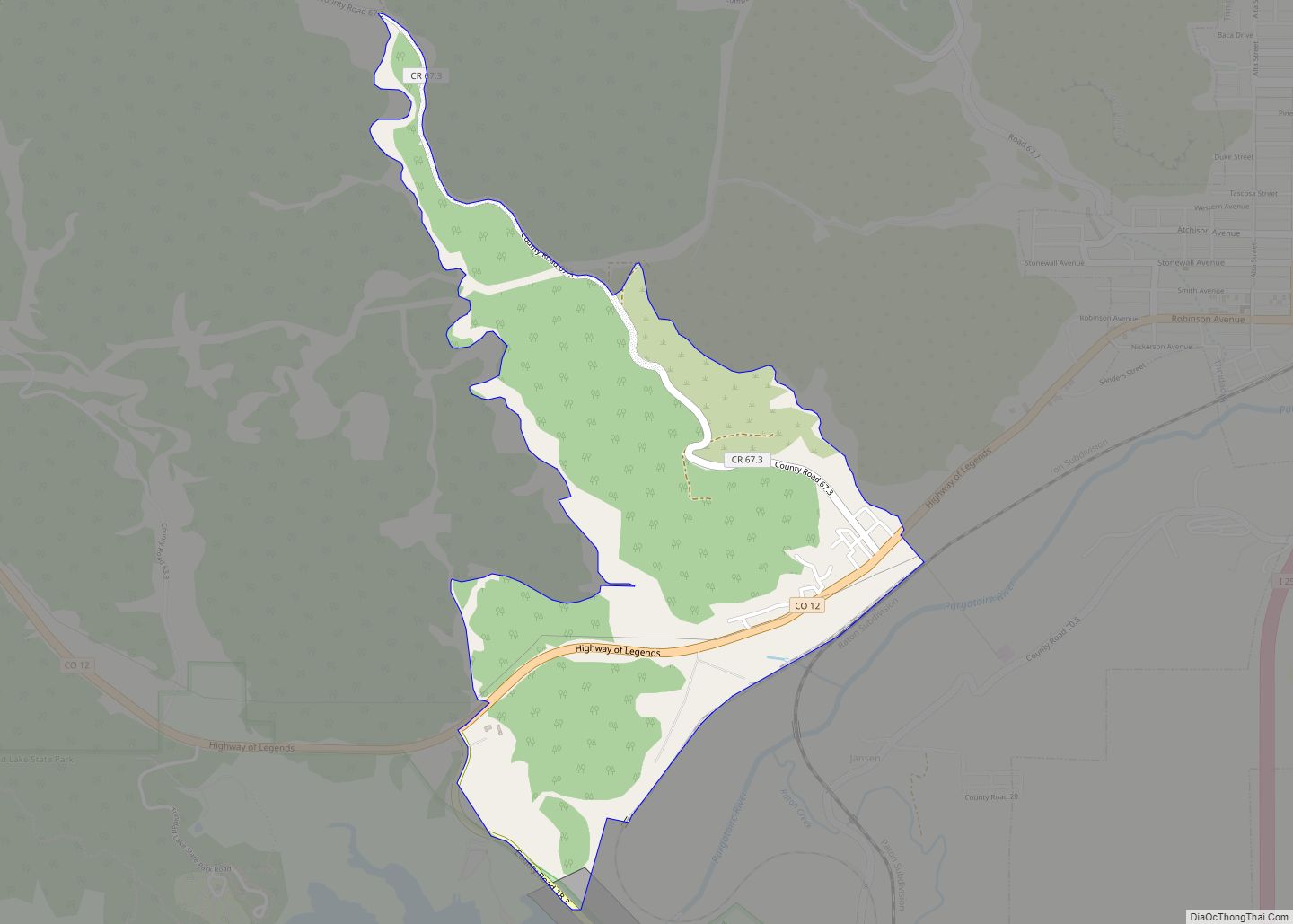
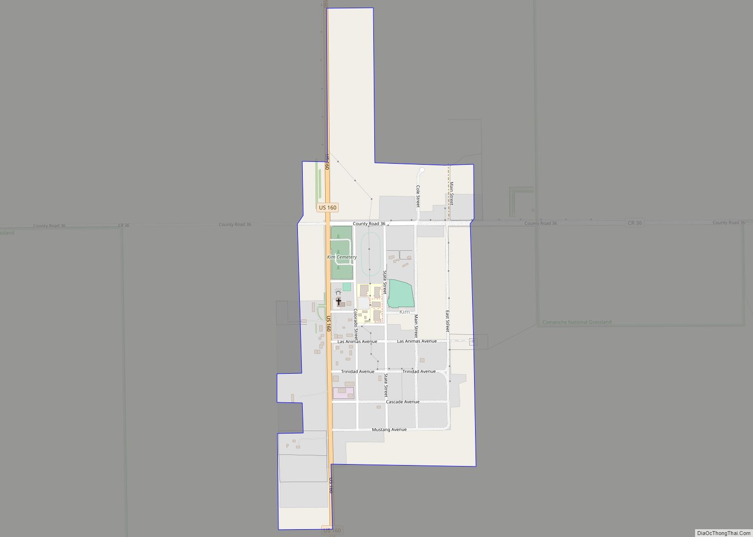
Online Interactive Map
Click on ![]() to view map in "full screen" mode.
to view map in "full screen" mode.
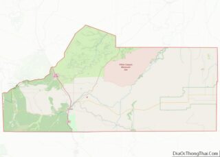
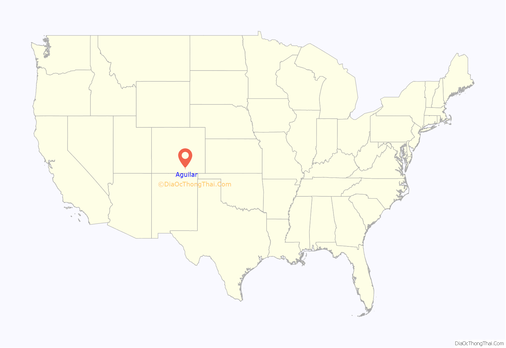
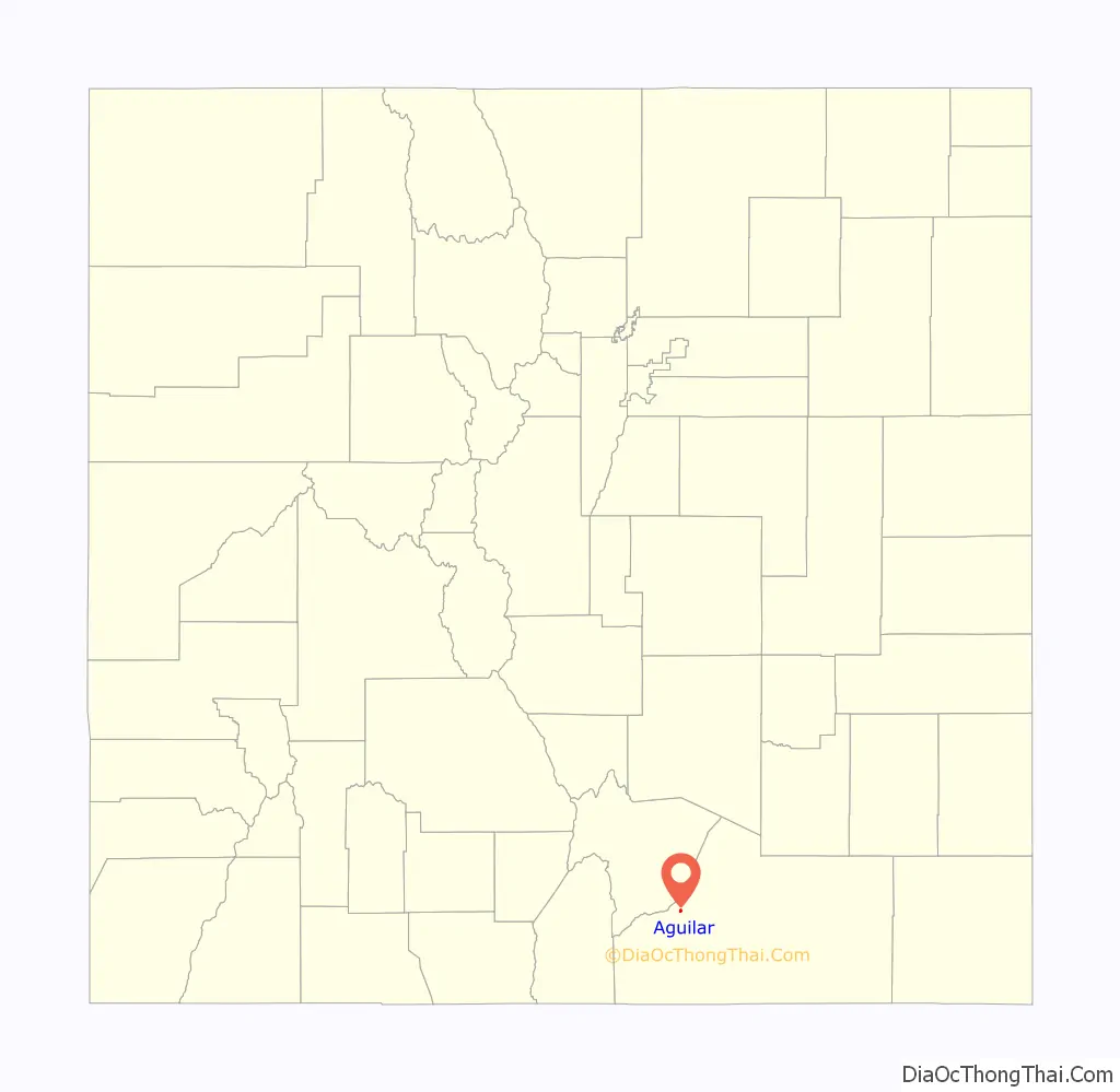
Aguilar location map. Where is Aguilar town?
History
The town was named for state legislator J. Ramon Aguilar. Aguilar owned the land that the town was built on. A post office was established at Aguilar in 1890. In 1894 the town was incorporated.
From September 1913 until late April 1914, much of Las Animas County was embroiled by the Colorado Coalfield War, which saw up to 12,000 pro-United Mine Workers of America strikers engaged in both peaceful and violent confrontations with the Rockefeller-owned Colorado Fuel & Iron Company, other mining outfits, strikebreakers, and the Colorado National Guard. On 29 October 1913, the Aguilar post office and several other town structures were destroyed in an arson attack related to the strike. The National Guard arrested several strikers over the attack and handed them over to the federal U.S. Marshal Service.
Following the Ludlow Massacre on 20 April 1914, strikers launched numerous attacks of both coordinated and spontaneous natures against mining operations, strikebreakers, and the National Guard in what is known as the Ten-Day War. One of the attacks was launched against Southwestern Mine Co.’s Empire Mine on 22 April, where armed strikers forced non-striking miners and their families into the mine and began an all-night siege outside. After negotiation led by Aguilar’s mayor and a church minister named McDonald, the strikers abandoned the siege before fatalities on either side were reported.
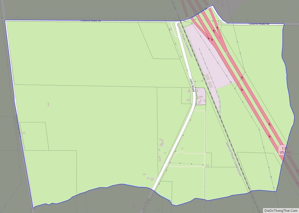
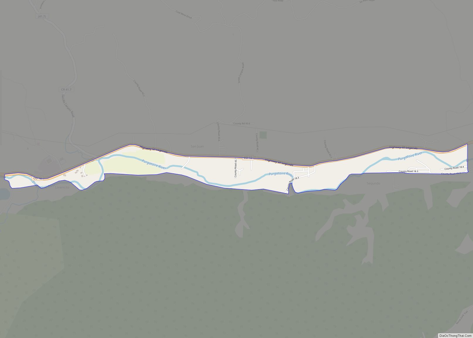
Aguilar Road Map

Aguilar city Satellite Map
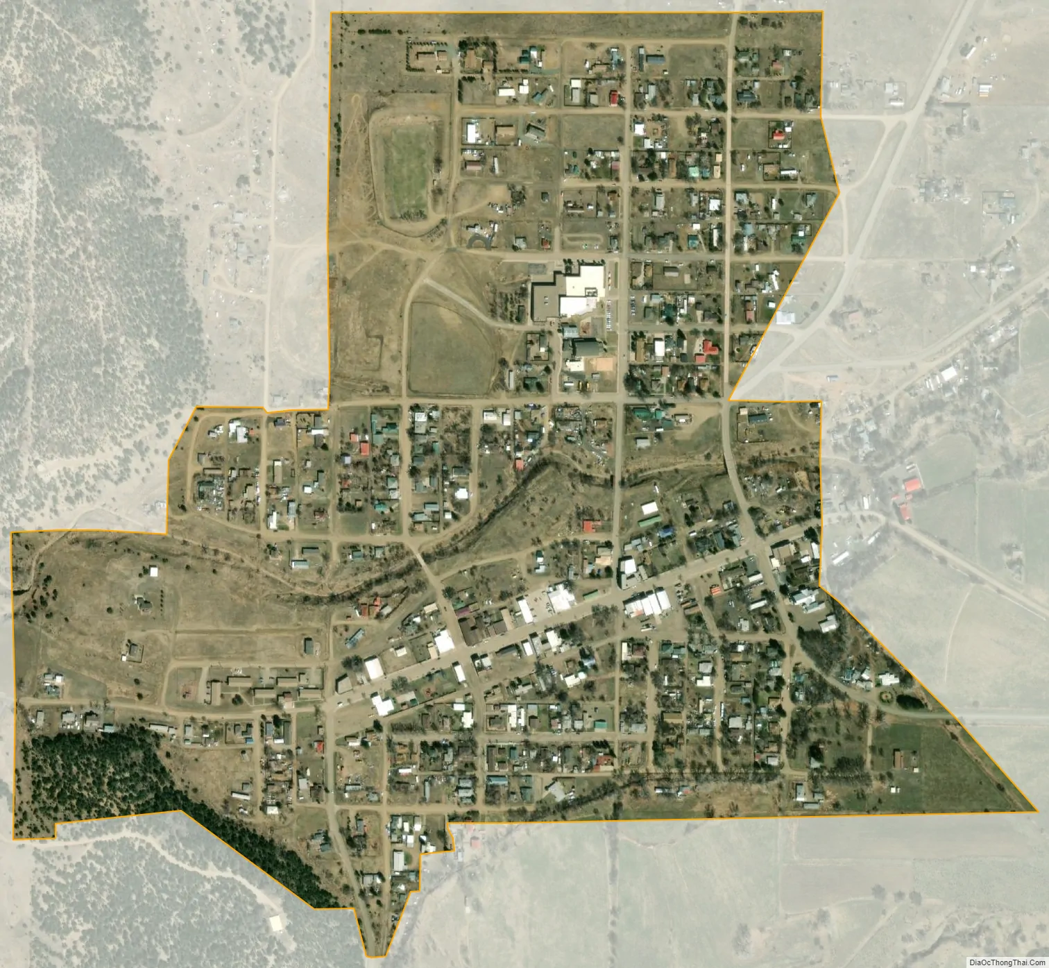
Geography
Aguilar is located at 37°24′12″N 104°39′16″W / 37.40333°N 104.65444°W / 37.40333; -104.65444 (37.403299, -104.654363), about one mile west of Interstate 25.
At the 2020 United States Census, the town had a total area of 251 acres (1.016 km), all of it land.
Climate
See also
Map of Colorado State and its subdivision:- Adams
- Alamosa
- Arapahoe
- Archuleta
- Baca
- Bent
- Boulder
- Broomfield
- Chaffee
- Cheyenne
- Clear Creek
- Conejos
- Costilla
- Crowley
- Custer
- Delta
- Denver
- Dolores
- Douglas
- Eagle
- El Paso
- Elbert
- Fremont
- Garfield
- Gilpin
- Grand
- Gunnison
- Hinsdale
- Huerfano
- Jackson
- Jefferson
- Kiowa
- Kit Carson
- La Plata
- Lake
- Larimer
- Las Animas
- Lincoln
- Logan
- Mesa
- Mineral
- Moffat
- Montezuma
- Montrose
- Morgan
- Otero
- Ouray
- Park
- Phillips
- Pitkin
- Prowers
- Pueblo
- Rio Blanco
- Rio Grande
- Routt
- Saguache
- San Juan
- San Miguel
- Sedgwick
- Summit
- Teller
- Washington
- Weld
- Yuma
- Alabama
- Alaska
- Arizona
- Arkansas
- California
- Colorado
- Connecticut
- Delaware
- District of Columbia
- Florida
- Georgia
- Hawaii
- Idaho
- Illinois
- Indiana
- Iowa
- Kansas
- Kentucky
- Louisiana
- Maine
- Maryland
- Massachusetts
- Michigan
- Minnesota
- Mississippi
- Missouri
- Montana
- Nebraska
- Nevada
- New Hampshire
- New Jersey
- New Mexico
- New York
- North Carolina
- North Dakota
- Ohio
- Oklahoma
- Oregon
- Pennsylvania
- Rhode Island
- South Carolina
- South Dakota
- Tennessee
- Texas
- Utah
- Vermont
- Virginia
- Washington
- West Virginia
- Wisconsin
- Wyoming