Yucaipa (Serrano: Yukaipa’t) is a city located 10 miles (16 km) east of San Bernardino, in San Bernardino County, California, United States. The population was 54,542 at the 2020 census, up from 51,367 at the 2010 census.
Yucaipa has the distinction of being the longtime home to a large population of Serrano Native Americans.
| Name: | Yucaipa city |
|---|---|
| LSAD Code: | 25 |
| LSAD Description: | city (suffix) |
| State: | California |
| County: | San Bernardino County |
| Incorporated: | November 27, 1989 |
| Elevation: | 2,618 ft (798 m) |
| Total Area: | 28.27 sq mi (73.22 km²) |
| Land Area: | 28.27 sq mi (73.22 km²) |
| Water Area: | 0.00 sq mi (0.00 km²) 0.02% |
| Total Population: | 54,542 |
| Population Density: | 1,929.32/sq mi (744.91/km²) |
| ZIP code: | 92399 |
| Area code: | 909 |
| FIPS code: | 0687042 |
| GNISfeature ID: | 1652818 |
| Website: | yucaipa.org |
Online Interactive Map
Click on ![]() to view map in "full screen" mode.
to view map in "full screen" mode.
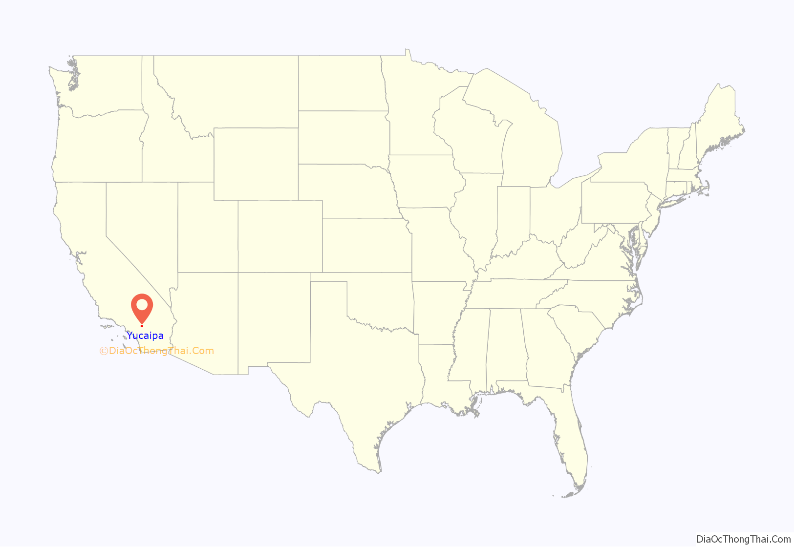
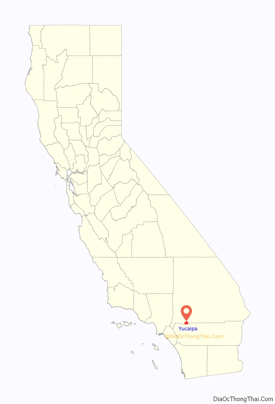
Yucaipa location map. Where is Yucaipa city?
History
Prior to the Spanish colonization of the Americas and the arrival of European settlers from Mexico, the Yucaipa Valley was known as Yukaipa’t, which meant “green valley” in the Serrano American Language. The land was home to the Serrano Native Americans for thousands of years. Today, some of their descendants are enrolled in the San Manuel Band of Mission Indians.
Yucaipa Rancheria
Yucaipa Valley supported a large population of Serrano Native Americans. The fertile valley was watered by springs and creeks running out of the San Bernardino Mountains. The Serrano Americans lived in this location most of the year, but would make excursions into the mountains to gather acorns and other food items during their harvest season. The Rancheria is marked by California Historical Landmark #620.
Yucaipa Adobe
Near the Rancheria is the Yucaipa Adobe, which is believed to be the oldest house in San Bernardino County. Diego Sepúlveda, nephew of Antonio María Lugo, built the Adobe in 1842 on land that was part of the Rancho San Bernardino granted in 1842 to the Lugos. It had formerly been land controlled by San Gabriel Mission. The Rancho suffered losses of cattle and horses from raids by Native Americans coming through Cajon Pass and Banning Pass from the deserts. Eventually, they sold the Rancho to Mormon settlers in September 1851. The Adobe’s later owners included John Brown Sr., James W. Waters, and the Dunlap family; it was acquired by San Bernardino County in 1955. The site is marked by California Historical Landmark #528.
The nearby Oak Glen area is best known for its apple orchards, some of which are operated by the direct descendants of the original founders (the Parrish, Wilshire, Rivers, and Law families). The Parrish Pioneer Ranch and orchard were founded by Enoch Parrish in 1876, with the other families coming into the area later.
21st century
At 1:53 p.m. on June 16, 2005, Yucaipa experienced a 4.9 Mw earthquake that was centered four miles (6 km) north of the center of town. It had a maximum Mercalli intensity of VI (Strong) and was felt from downtown Los Angeles to some areas of San Diego. Three people were injured.
In 2016, Yucaipa broke ground on a multipurpose performing arts center on the corner of Acacia Avenue and California Street. Sitting on 2.7 acres (11,000 m) in the heart of uptown, the 16,200 sq ft (1,510 m) venue hosts a variety of events, including community theater, open-air concerts, dance, and other arts-related events. The performing arts center officially opened in Spring 2019.
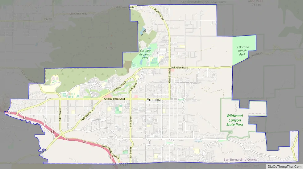
Yucaipa Road Map
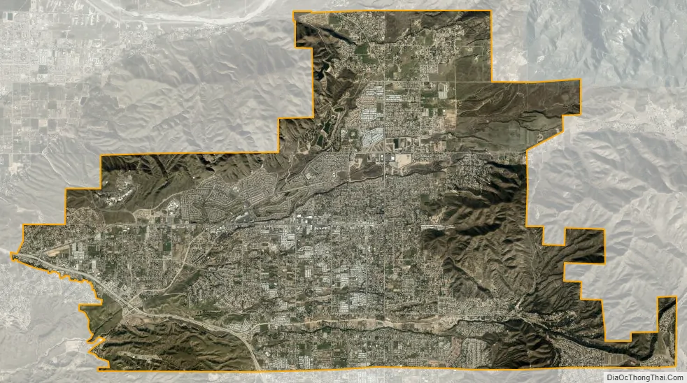
Yucaipa city Satellite Map
Geography
Yucaipa is located in the southwestern United States, in southern California, approximately 72 miles (116 km) east of Los Angeles. The city is approximately 2,600 ft (790 m) above sea level.
According to the United States Census Bureau, the city has a total area of 27.8 square miles (72 km), with 0.04 percent being water.
Parks
Yucaipa is home to Yucaipa Regional Park, Flag Hill Veterans Memorial Park, Seventh Street Park, “I” Street Park, and Wildwood Park. Recently added was the Yucaipa Community Park, the Bryant Glen Sports Complex, the Rick McCowan Regional Soccer Complex, as well as the newly established Wildwood Canyon State Park.
Climate
According to the Köppen Climate Classification system, Yucaipa has a Mediterranean climate, abbreviated Csa on climate maps.
See also
Map of California State and its subdivision:- Alameda
- Alpine
- Amador
- Butte
- Calaveras
- Colusa
- Contra Costa
- Del Norte
- El Dorado
- Fresno
- Glenn
- Humboldt
- Imperial
- Inyo
- Kern
- Kings
- Lake
- Lassen
- Los Angeles
- Madera
- Marin
- Mariposa
- Mendocino
- Merced
- Modoc
- Mono
- Monterey
- Napa
- Nevada
- Orange
- Placer
- Plumas
- Riverside
- Sacramento
- San Benito
- San Bernardino
- San Diego
- San Francisco
- San Joaquin
- San Luis Obispo
- San Mateo
- Santa Barbara
- Santa Clara
- Santa Cruz
- Shasta
- Sierra
- Siskiyou
- Solano
- Sonoma
- Stanislaus
- Sutter
- Tehama
- Trinity
- Tulare
- Tuolumne
- Ventura
- Yolo
- Yuba
- Alabama
- Alaska
- Arizona
- Arkansas
- California
- Colorado
- Connecticut
- Delaware
- District of Columbia
- Florida
- Georgia
- Hawaii
- Idaho
- Illinois
- Indiana
- Iowa
- Kansas
- Kentucky
- Louisiana
- Maine
- Maryland
- Massachusetts
- Michigan
- Minnesota
- Mississippi
- Missouri
- Montana
- Nebraska
- Nevada
- New Hampshire
- New Jersey
- New Mexico
- New York
- North Carolina
- North Dakota
- Ohio
- Oklahoma
- Oregon
- Pennsylvania
- Rhode Island
- South Carolina
- South Dakota
- Tennessee
- Texas
- Utah
- Vermont
- Virginia
- Washington
- West Virginia
- Wisconsin
- Wyoming


