Map of Delta city, Colorado
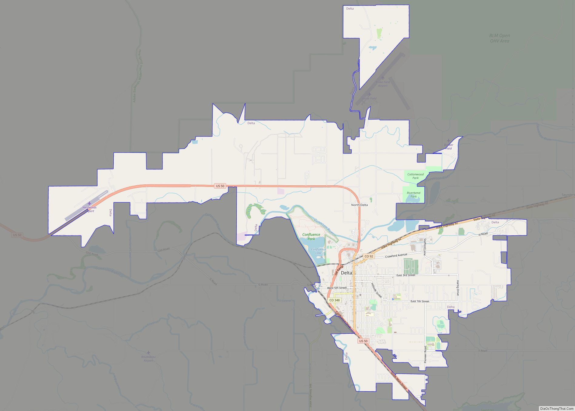
Delta is a home rule municipality that is the county seat and the most populous municipality of Delta County, Colorado, United States. The town population was 9,035 at the 2020 United States Census. The United States Forest Service headquarters of the Grand Mesa, Gunnison, and Uncompahgre National Forests are located in Delta. Delta city overview: ... Read more
Map of Delta city, Colorado
Map of Del Norte town
Del Norte is a Statutory Town that is the county seat of Rio Grande County, Colorado, United States. The town’s name is most commonly pronounced /ˈdɛl nɔɹt/. The town population was 1,458 at the 2020 United States Census. Del Norte town overview: Name: Del Norte town LSAD Code: 43 LSAD Description: town (suffix) State: Colorado ... Read more
Map of Del Norte town
Map of Divide CDP
Divide is an unincorporated town, a post office, and a census-designated place (CDP) located in and governed by Teller County, Colorado, United States. The CDP is a part of the Colorado Springs, CO Metropolitan Statistical Area. The Divide post office has the ZIP Code 80814. At the United States Census 2020, the population of the ... Read more
Map of Divide CDP
Map of Dinosaur town
Dinosaur is a statutory town in Moffat County, Colorado, United States. As of the 2020 census, the population was 243, down from 339 at the 2010 census. Dinosaur is a part of the Craig, CO Micropolitan Statistical Area. The town of Dinosaur was originally known as “Baxter Springs”, owned by Art and Fanny Baxter. It ... Read more
Map of Dinosaur town
Map of Dillon town, Colorado
The Town of Dillon is a home rule municipality located in Summit County, Colorado, United States. The town population was 1,064 at the 2020 United States Census, a +17.70% increase since the 2010 United States Census. Dillon is a part of the Breckenridge, CO Micropolitan Statistical Area. Dillon town overview: Name: Dillon town LSAD Code: ... Read more
Map of Dillon town, Colorado
Map of Dove Creek town
Dove Creek is a statutory town that is the county seat and the most populous municipality of Dolores County, Colorado, United States. The town population was 635 at the 2020 United States Census. The community takes its name from the nearby Dove Creek. Dove Creek is the self-proclaimed Pinto Bean Capital of the World. Dove ... Read more
Map of Dove Creek town
Map of Dotsero CDP
Dotsero is an unincorporated community and a census-designated place (CDP) located in and governed by Eagle County, Colorado, United States. The CDP is a part of the Edwards, CO Micropolitan Statistical Area. The population of the Dotsero CDP was 1,172 at the United States Census 2020. The Gypsum post office (Zip Code 81637) serves the ... Read more
Map of Dotsero CDP
Map of Dolores town
The Town of Dolores is a Statutory Town located in Montezuma County, Colorado, United States. The town population was 885 at the 2020 United States Census. Dolores town overview: Name: Dolores town LSAD Code: 43 LSAD Description: town (suffix) State: Colorado County: Montezuma County Incorporated: July 19, 1900 Elevation: 6,936 ft (2,114 m) Total Area: 0.664 sq mi (1.721 km²) ... Read more
Map of Dolores town
Map of Durango city, Colorado
Durango is a home rule municipality that is the county seat and the most populous municipality of La Plata County, Colorado, United States. The city population was 19,071 at the 2020 United States Census. Durango is the home of Fort Lewis College. Durango city overview: Name: Durango city LSAD Code: 25 LSAD Description: city (suffix) ... Read more
Map of Durango city, Colorado
Map of Downieville-Lawson-Dumont CDP
Downieville-Lawson-Dumont is a census-designated place (CDP) comprising the unincorporated communities of Downieville, Lawson, and Dumont located in and governed by Clear Creek County, Colorado, United States. The CDP is a part of the Denver–Aurora–Lakewood, CO Metropolitan Statistical Area. The Dumont post office ZIP code 80436 (post office boxes) serves the area. At the United States ... Read more
Map of Downieville-Lawson-Dumont CDP
Map of Dove Valley CDP
Dove Valley is an unincorporated community and a census-designated place (CDP) located in and governed by Arapahoe County, Colorado, United States. The CDP is a part of the Denver–Aurora–Lakewood, CO Metropolitan Statistical Area. The population of the Dove Valley CDP was 5,640 at the United States Census 2020. The Dove Valley Metropolitan District provides services ... Read more
Map of Dove Valley CDP
Map of East Pleasant View CDP
East Pleasant View is an unincorporated community and a census-designated place (CDP) located in and governed by Jefferson County, Colorado, United States. The CDP is a part of the Denver–Aurora–Lakewood, CO Metropolitan Statistical Area. The population of the East Pleasant View CDP was 333 at the United States Census 2020. The Pleasant View Metropolitan District ... Read more
Map of East Pleasant View CDP