Del Norte is a Statutory Town that is the county seat of Rio Grande County, Colorado, United States. The town’s name is most commonly pronounced /ˈdɛl nɔɹt/. The town population was 1,458 at the 2020 United States Census.
| Name: | Del Norte town |
|---|---|
| LSAD Code: | 43 |
| LSAD Description: | town (suffix) |
| State: | Colorado |
| County: | Rio Grande County |
| Incorporated: | 1895-11-15 |
| Total Area: | 0.983 sq mi (2.547 km²) |
| Land Area: | 0.983 sq mi (2.547 km²) |
| Water Area: | 0.000 sq mi (0.000 km²) |
| Total Population: | 1,458 |
| Population Density: | 1,483/sq mi (573/km²) |
| ZIP code: | 81132 |
| Area code: | 719 |
| FIPS code: | 0819795 |
| Website: | www.delnortecolorado.com |
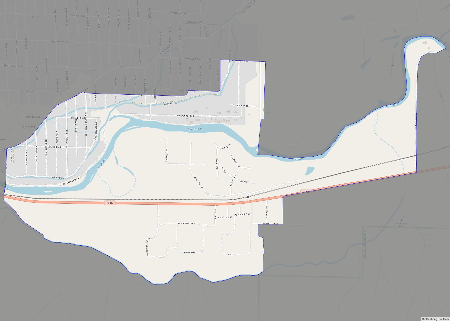
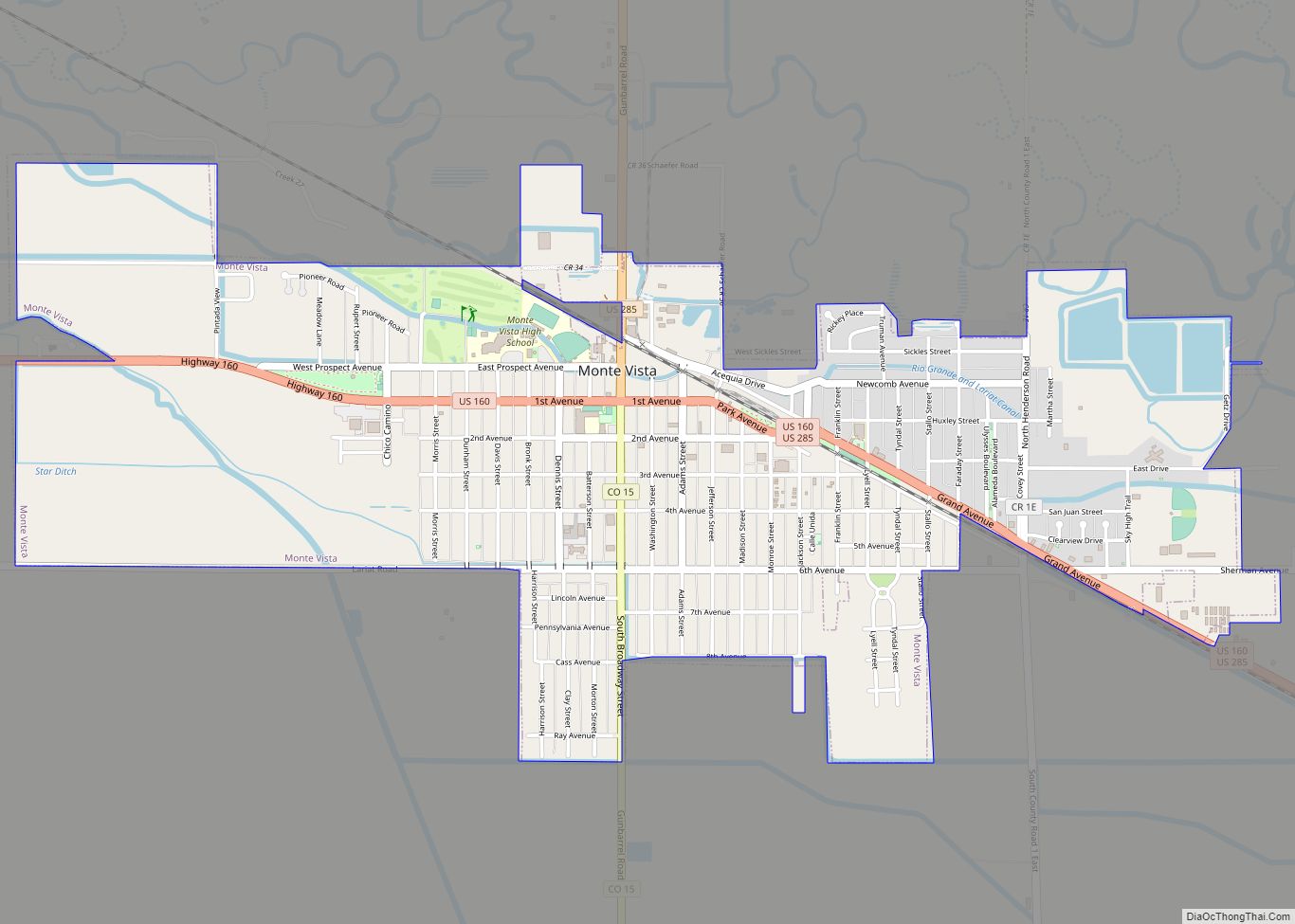
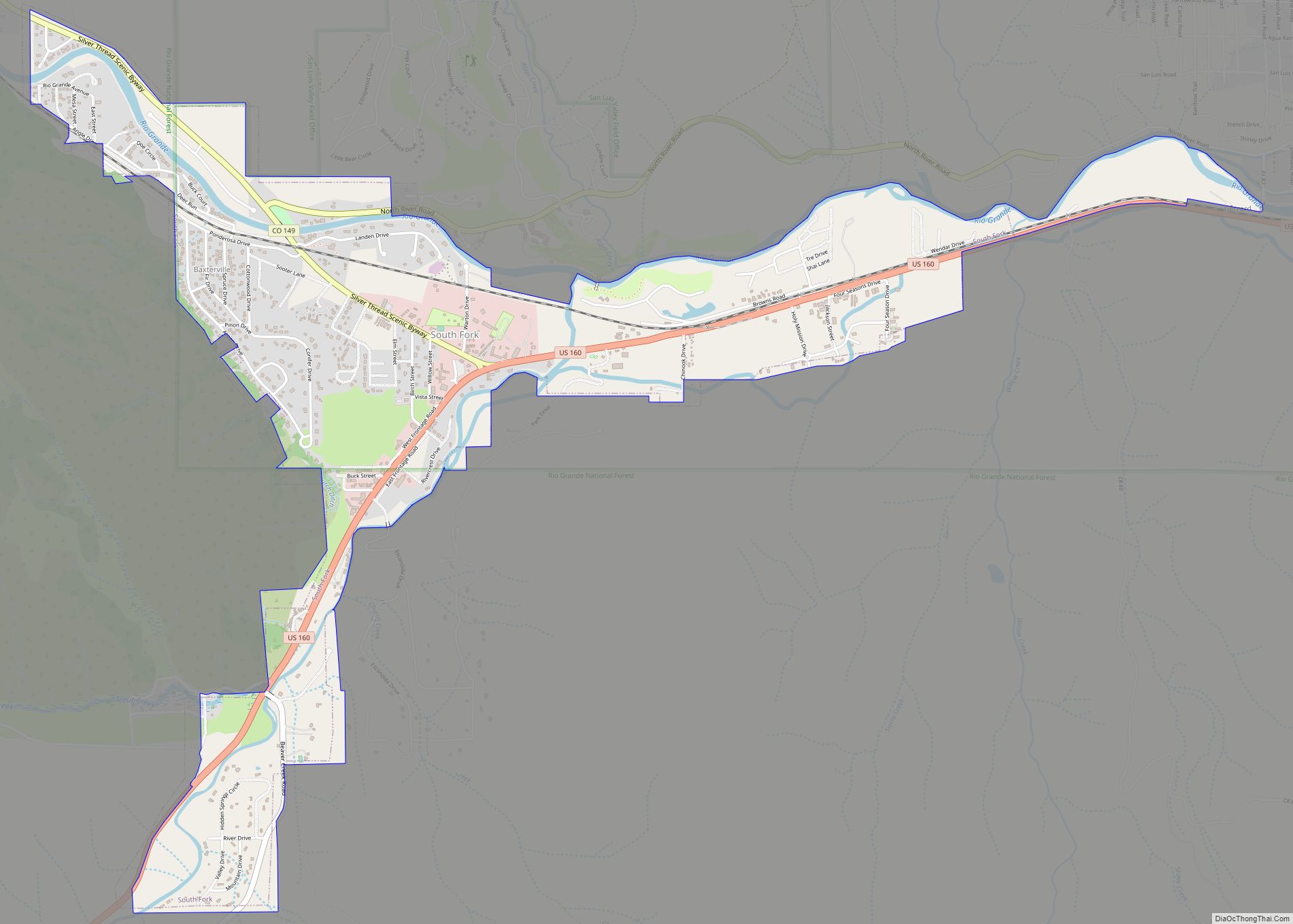
Online Interactive Map
Click on ![]() to view map in "full screen" mode.
to view map in "full screen" mode.
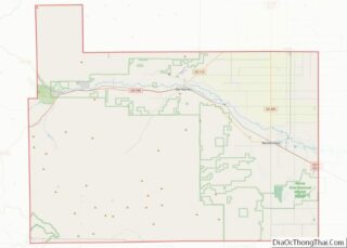
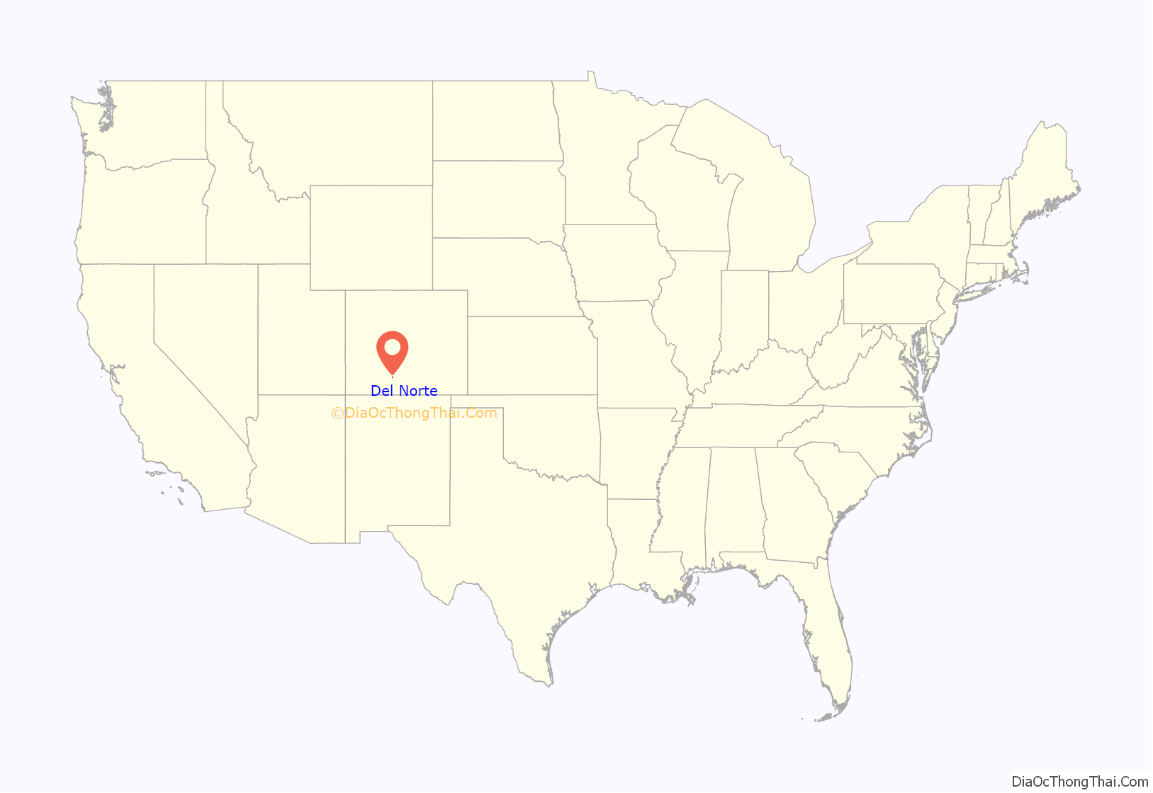
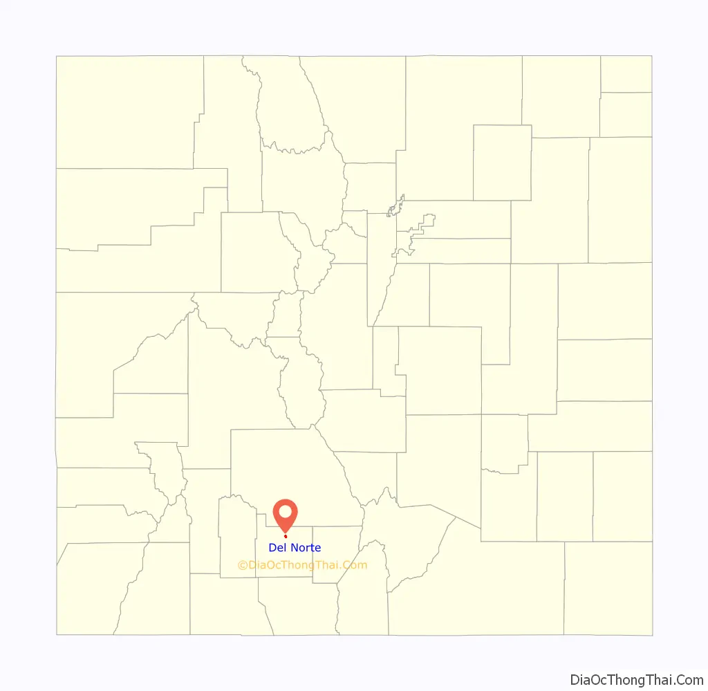
Del Norte location map. Where is Del Norte town?
History
Del Norte is named from the river Rio Grande del Norte, or “large river of the north”. There is abundant evidence in the area in the form of arrowheads and campsites of ancient peoples living around Del Norte thousands of years ago, such as the Folsom people. Afterwards, the Utes were known to live around Del Norte and the rest of the San Luis Valley, going back hundreds of years prior to Euro-American contact. They lived here temporarily in the warmer months because of the abundance of wild game, plants, water, and timber in the area – winters were often too cold and harsh for them to settle permanently. Spanish and Mexican peoples were the first non-natives to explore the nearby land, coming from Santa Fe and other parts of New Mexico. They were interested in surveying the ‘Rio del Norte’, or ‘River of the North’ – hence the origin of the town’s name. This was the original name of the Rio Grande headwaters prior to numerous name changes over the years.
Under Mexican jurisdiction, Hispanic families began moving into the area during the early to mid-19th century as part of land grants to help the Mexican government fill and occupy the territory. However, large-scale settlements were difficult to establish because the Utes were weary and very hostile towards Euro-American settlement, and would chase off many people who attempted to do so. The most successful early settlement nearby was called ‘La Loma’, established a few miles east of where the current town site is today. This area was chosen because there was a particular section of the Rio Grande here where it could be crossed safely and easily – one of few known for miles during this time. After the Treaty of Guadalupe-Hidalgo was signed in 1848, jurisdiction of the land in and around Del Norte transferred from Mexico to the United States, but settlement by Americans in the area was delayed by civil strife (including the American Civil War) throughout the 1850s and 1860s. Most American settlements began in the area around the early 1870s, by prospectors searching the nearby mountains for minerals, such as gold and silver, particularly near an eventual boom-town named Summitville, located at the base of South Mountain near Bennett Peak.
These peaks in the San Juan Mountains were some of the last parts of Colorado where miners were allowed to explore and prospect for minerals, and they were finally able to do so after the Brunot Treaty was signed between the U.S. government and the Utes in 1873. Once the mines proved profitable, Del Norte was officially established around 1874, in order to serve as a base camp for the mines, not just in Summitville, but also in nearby Creede and Lake City. Miners quickly moved into the area, and they were followed by ranchers and farmers. Many of these original farming and ranching families still have operations and live in the Del Norte area to this day. After the Sherman Act was repealed in 1893, mining operations quickly became unprofitable and ceased. The ‘glory days’ of Del Norte ended as quickly as they began, but the community still survived because of ranching and agriculture. There was a small movement across southern Colorado throughout the late 1800s and early 1900s to secede from the State of Colorado and create the state of San Juan, with Del Norte becoming its capital city; however, this secession movement died quickly.
Del Norte would see cycles of boom and bust throughout the 20th century, but has recently become a blossoming community, due to the abundance of recreational activities provided by the area’s unique geography, such as mountain biking, hiking, running, rock climbing, fishing, hunting, rafting and kayaking, cross country skiing, camping, etc. Del Norte is also one of the communities which provides lodging for the nearby Wolf Creek Ski Area. Grande Avenue, the main street through Del Norte, still has many of the facades on its storefronts from the 1800s and early 1900s, reminding its residents and tourists of the town’s historic past. In 2019, the Rio Grande National Forest announced that it will be moving its headquarters from nearby Monte Vista to Del Norte, and the town announced that it will be improving its riverwalk to include a white-water park along the Rio Grande.
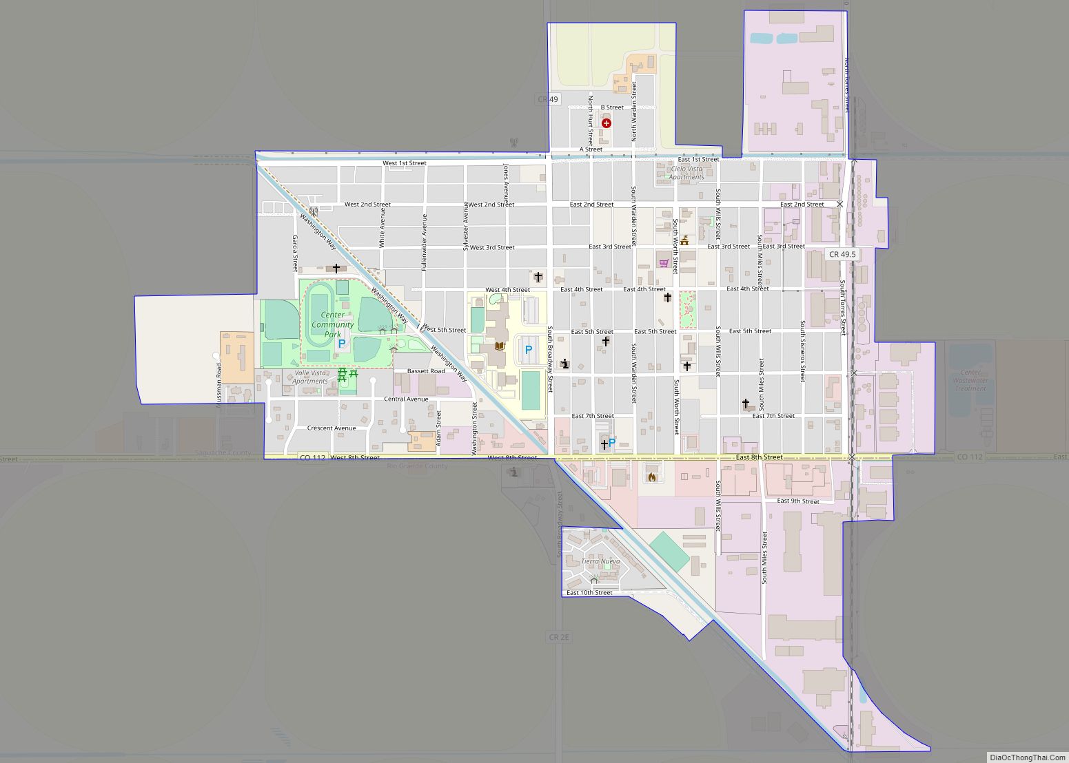
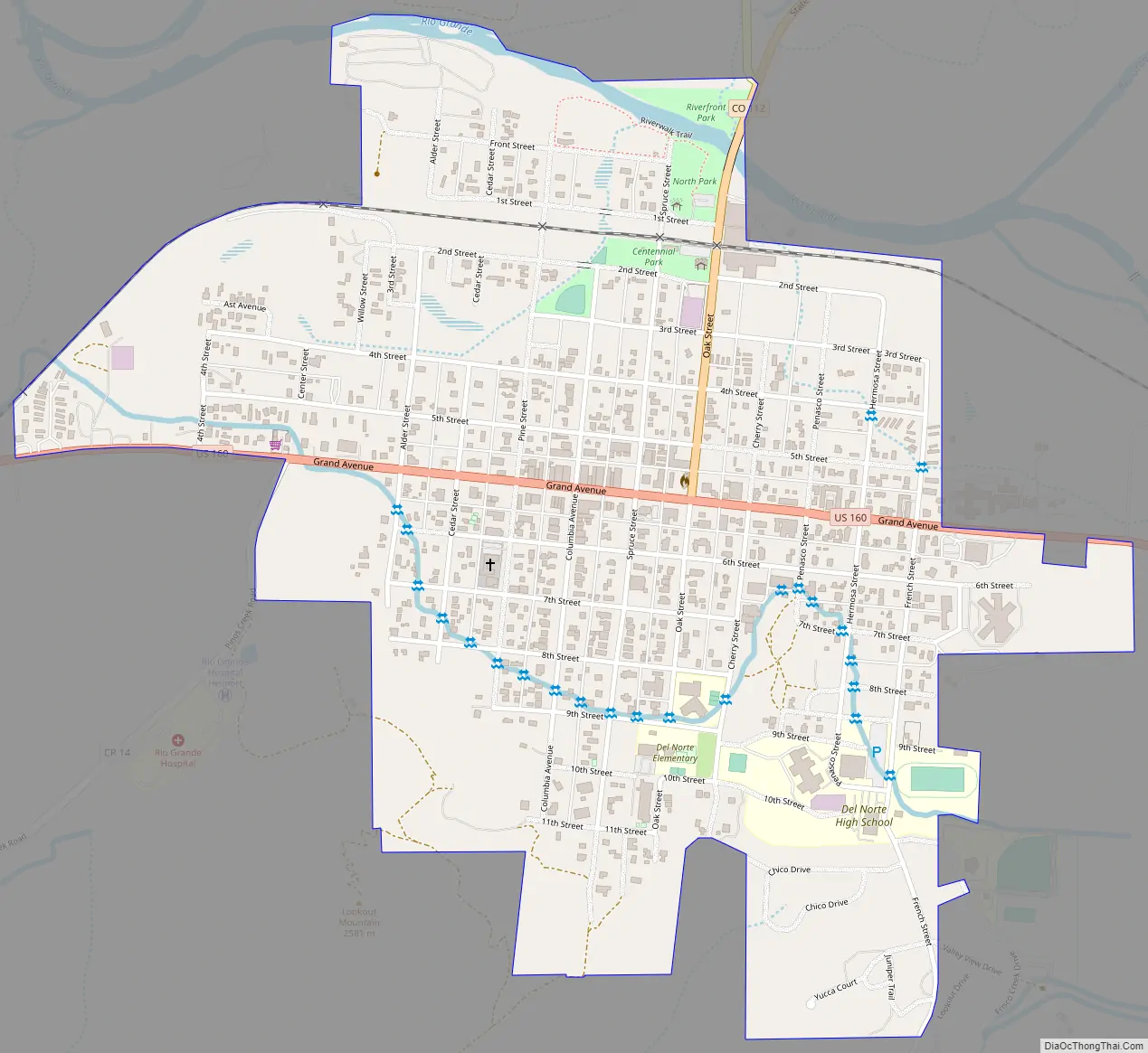
Del Norte Road Map
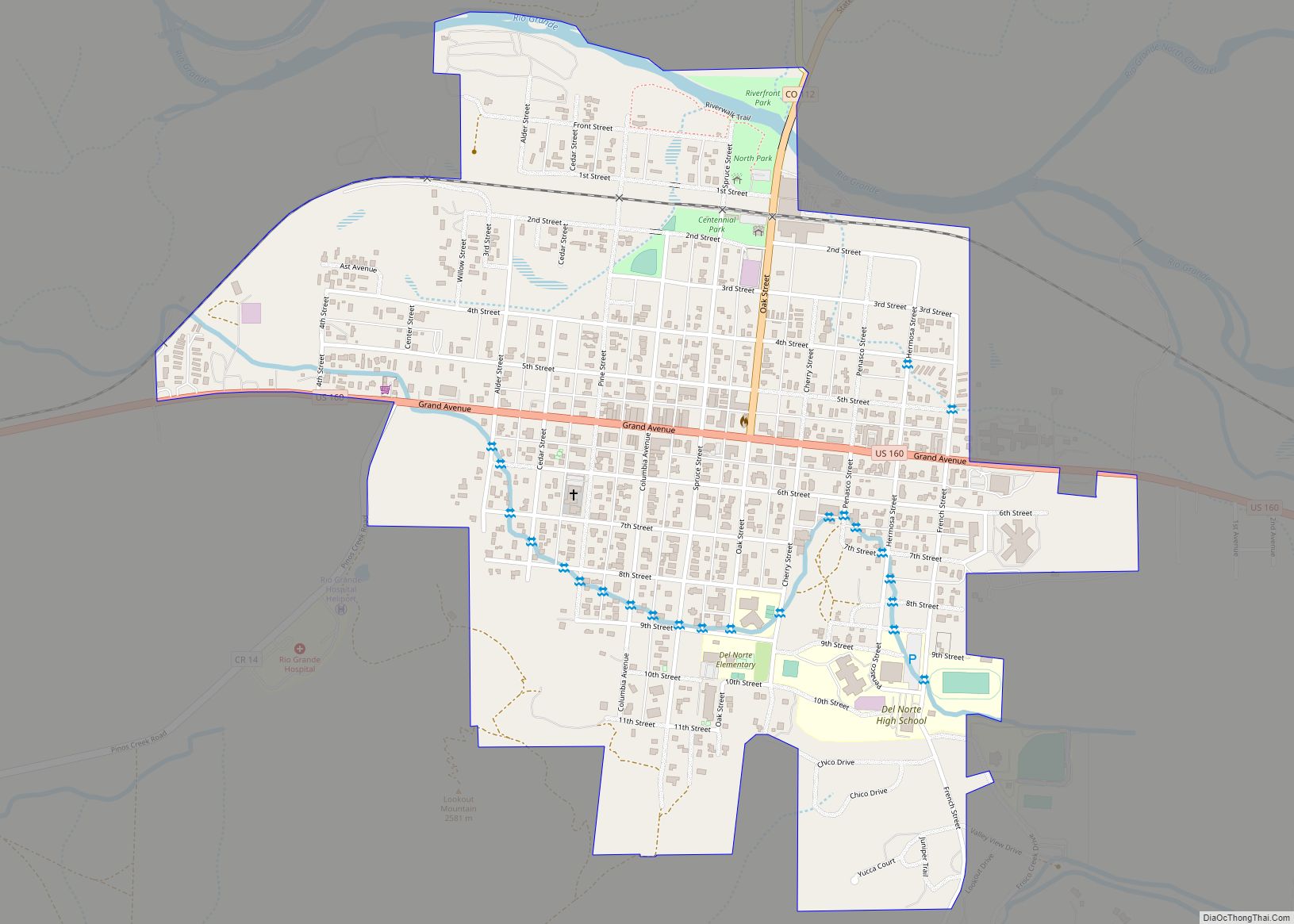
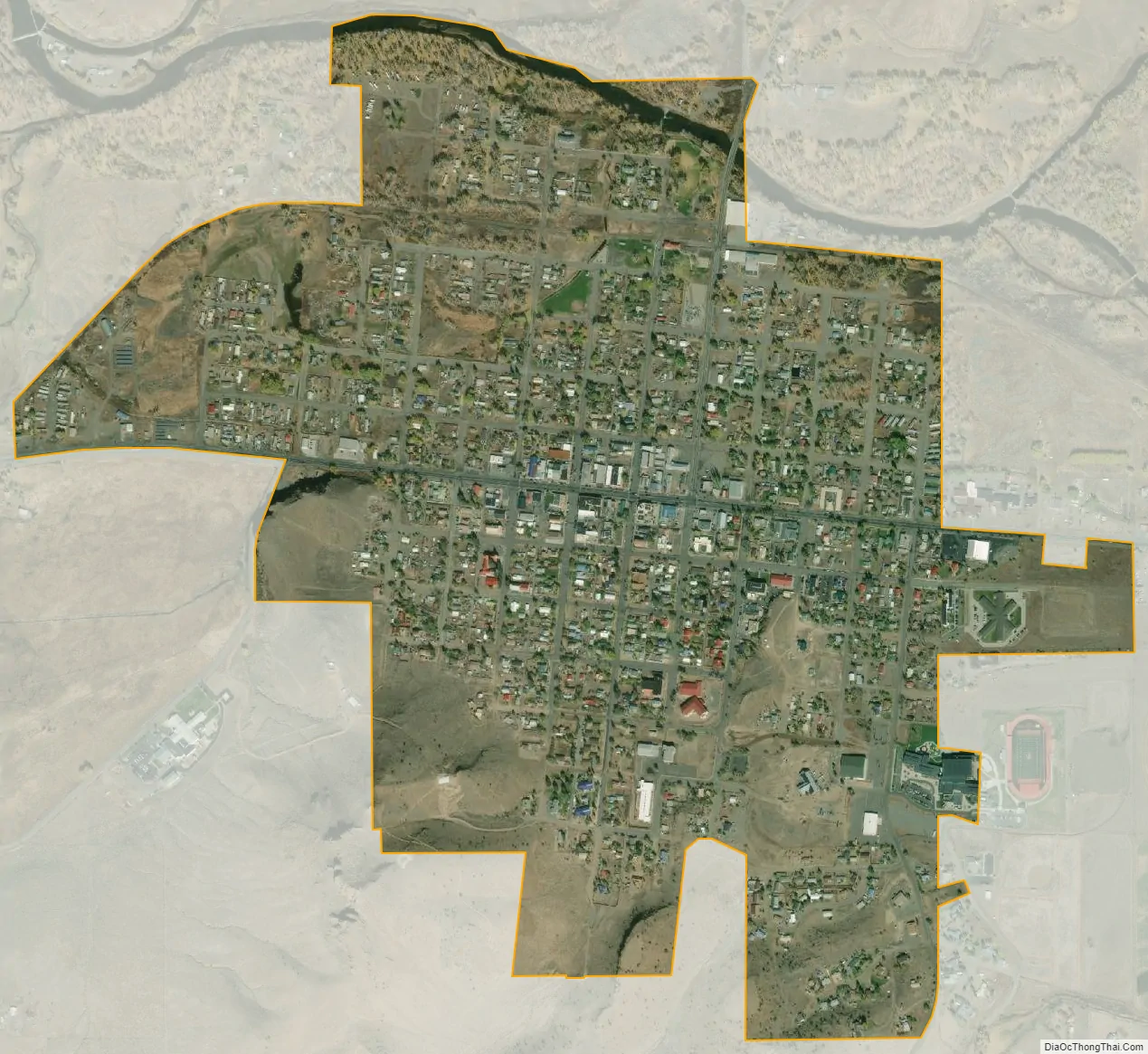
Del Norte city Satellite Map
See also
Map of Colorado State and its subdivision:- Adams
- Alamosa
- Arapahoe
- Archuleta
- Baca
- Bent
- Boulder
- Broomfield
- Chaffee
- Cheyenne
- Clear Creek
- Conejos
- Costilla
- Crowley
- Custer
- Delta
- Denver
- Dolores
- Douglas
- Eagle
- El Paso
- Elbert
- Fremont
- Garfield
- Gilpin
- Grand
- Gunnison
- Hinsdale
- Huerfano
- Jackson
- Jefferson
- Kiowa
- Kit Carson
- La Plata
- Lake
- Larimer
- Las Animas
- Lincoln
- Logan
- Mesa
- Mineral
- Moffat
- Montezuma
- Montrose
- Morgan
- Otero
- Ouray
- Park
- Phillips
- Pitkin
- Prowers
- Pueblo
- Rio Blanco
- Rio Grande
- Routt
- Saguache
- San Juan
- San Miguel
- Sedgwick
- Summit
- Teller
- Washington
- Weld
- Yuma
- Alabama
- Alaska
- Arizona
- Arkansas
- California
- Colorado
- Connecticut
- Delaware
- District of Columbia
- Florida
- Georgia
- Hawaii
- Idaho
- Illinois
- Indiana
- Iowa
- Kansas
- Kentucky
- Louisiana
- Maine
- Maryland
- Massachusetts
- Michigan
- Minnesota
- Mississippi
- Missouri
- Montana
- Nebraska
- Nevada
- New Hampshire
- New Jersey
- New Mexico
- New York
- North Carolina
- North Dakota
- Ohio
- Oklahoma
- Oregon
- Pennsylvania
- Rhode Island
- South Carolina
- South Dakota
- Tennessee
- Texas
- Utah
- Vermont
- Virginia
- Washington
- West Virginia
- Wisconsin
- Wyoming