Delta is a home rule municipality that is the county seat and the most populous municipality of Delta County, Colorado, United States. The town population was 9,035 at the 2020 United States Census. The United States Forest Service headquarters of the Grand Mesa, Gunnison, and Uncompahgre National Forests are located in Delta.
| Name: | Delta city |
|---|---|
| LSAD Code: | 25 |
| LSAD Description: | city (suffix) |
| State: | Colorado |
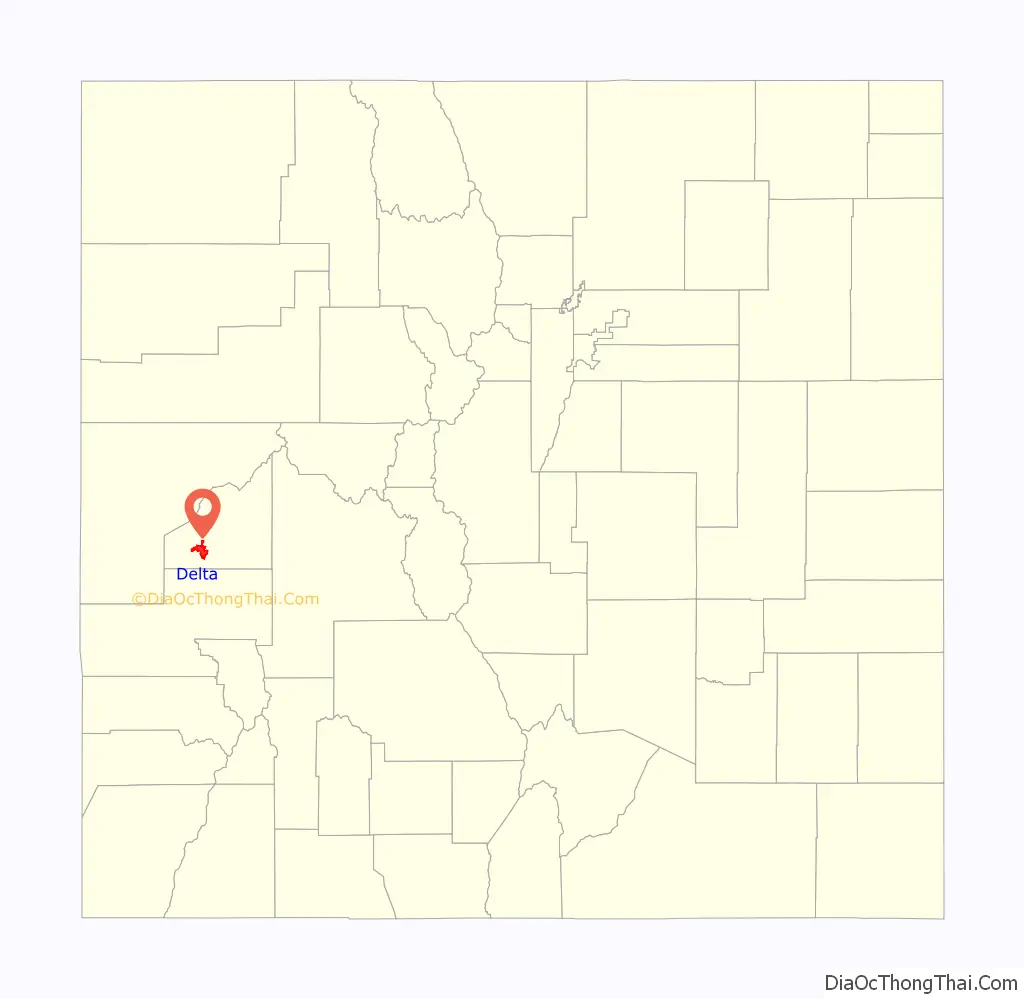
| County: | Delta County |
| Incorporated: | October 24, 1882 |
| Elevation: | 4,953 ft (1,486 m) |
| Total Area: | 13.530 sq mi (35.043 km²) |
| Land Area: | 13.273 sq mi (34.378 km²) |
| Water Area: | 0.257 sq mi (0.665 km²) |
| Population Density: | 681/sq mi (263/km²) |
| ZIP code: | 81416 |
| Area code: | 970 |
| FIPS code: | 0819850 |
| Website: | cityofdelta.net |
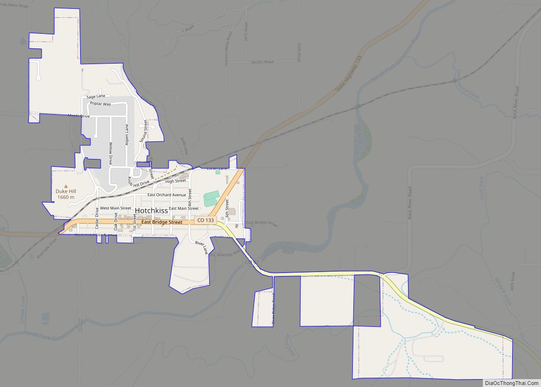
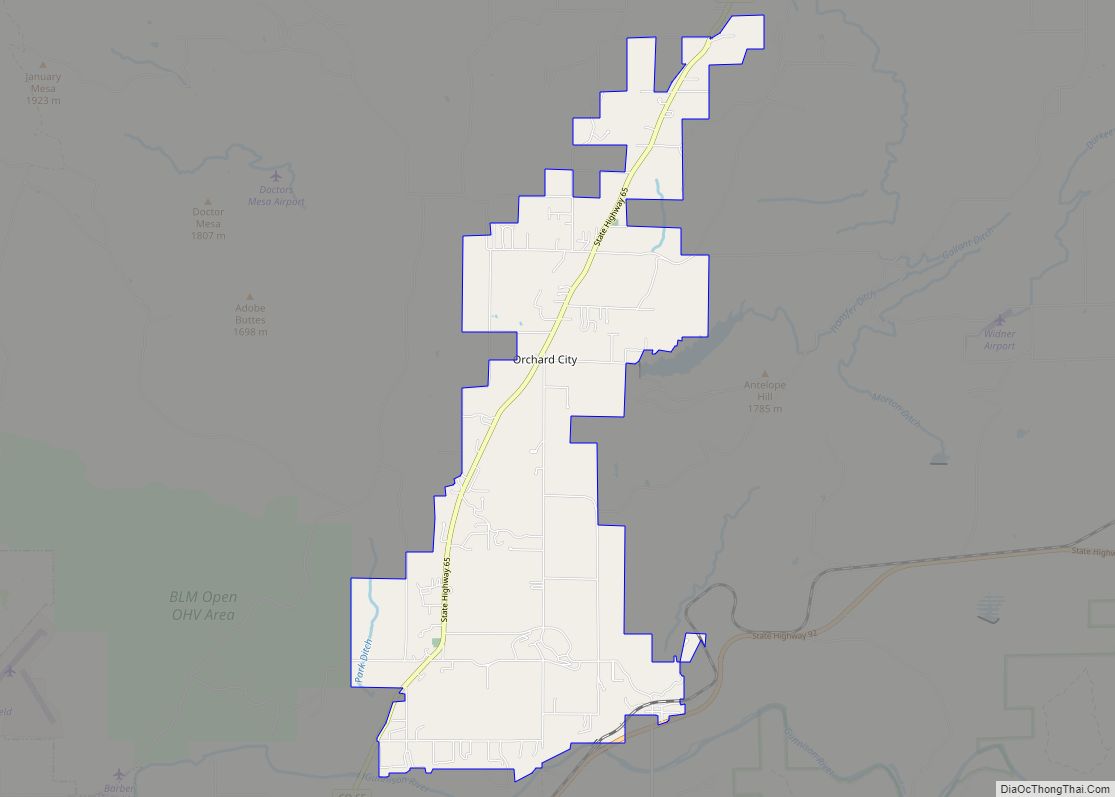
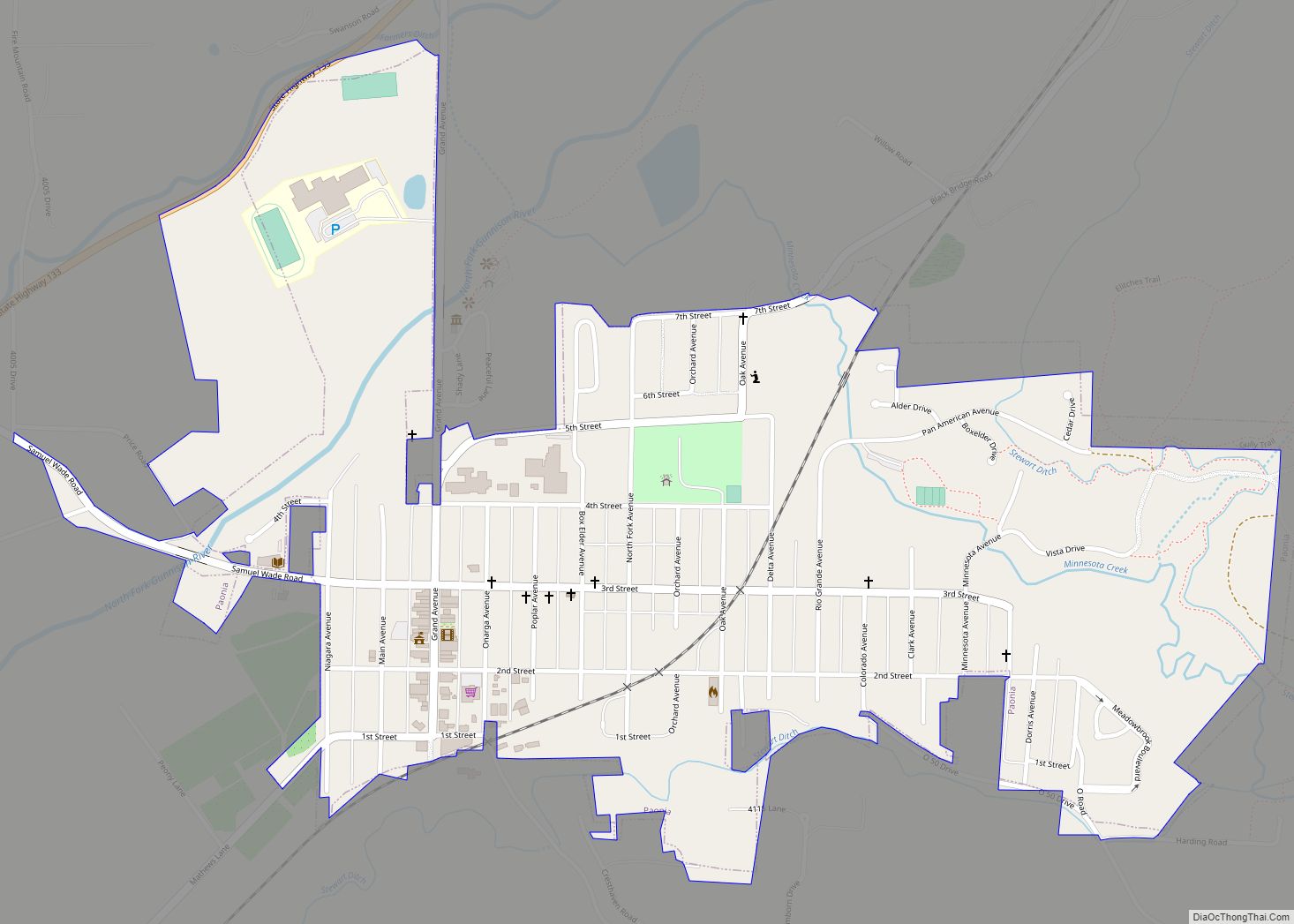
Online Interactive Map
Click on ![]() to view map in "full screen" mode.
to view map in "full screen" mode.
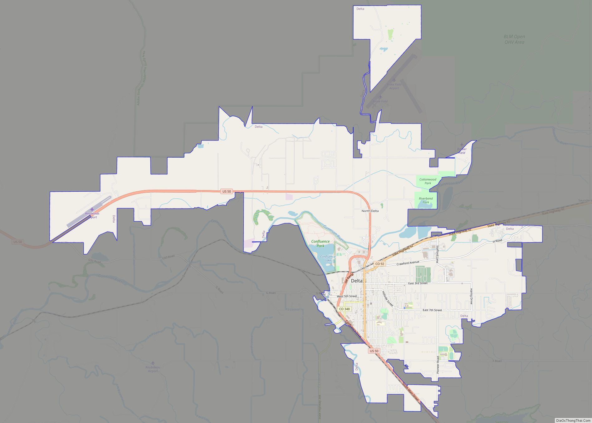
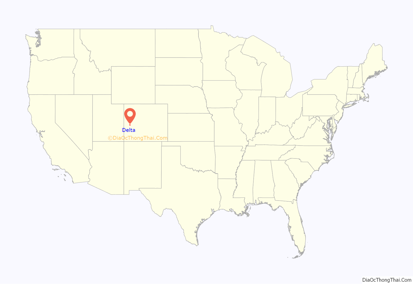
Delta location map. Where is Delta city?
History
Delta was built as a trading post for the Ute people and early settlers. Fort Uncompahgre was built in 1828.
The town was named because of its location on the delta where the Uncompahgre River flows into the Gunnison River. The town was incorporated in 1882.
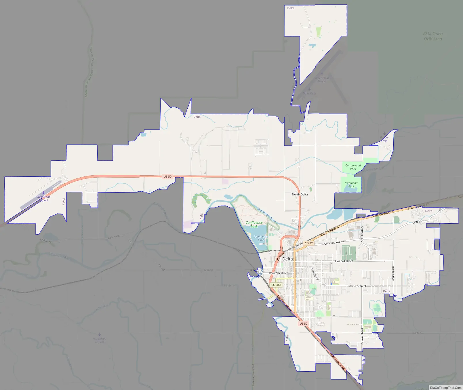
Delta Road Map
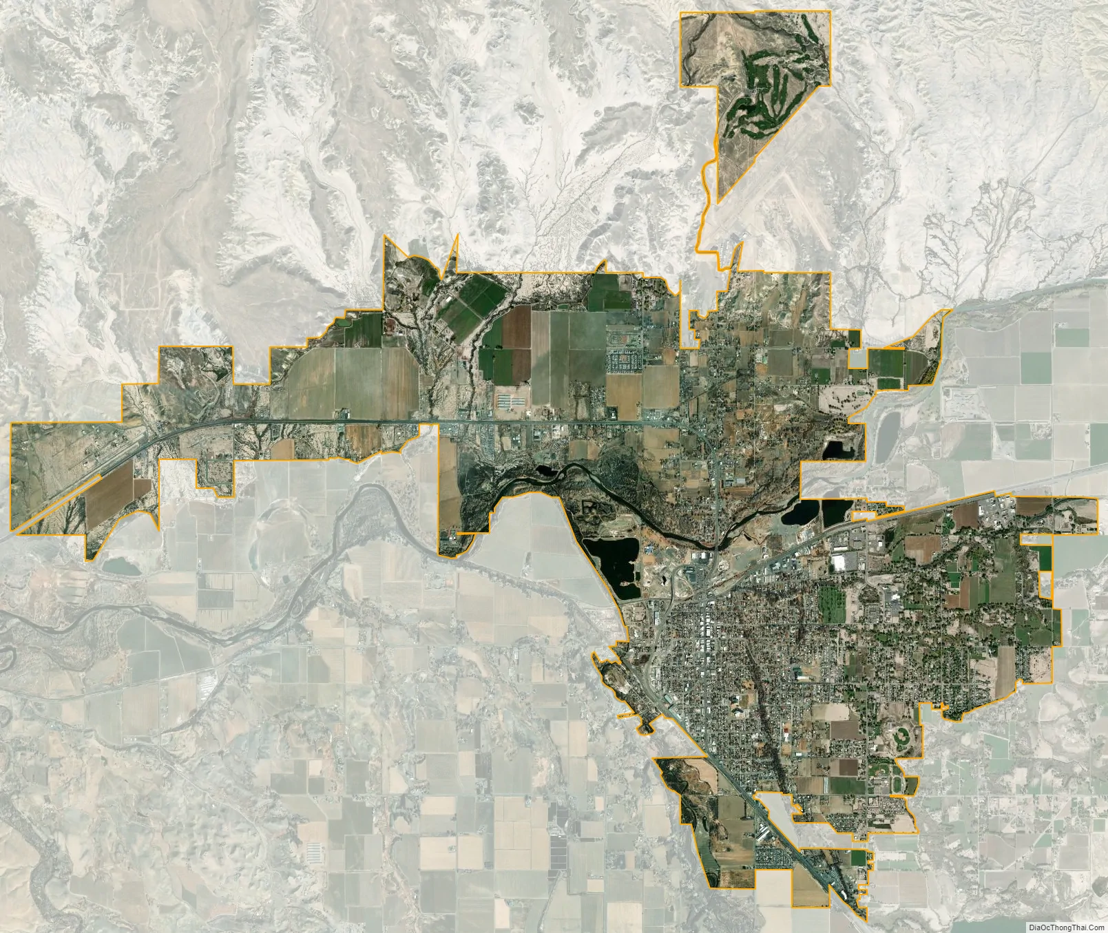
Delta city Satellite Map
Geography
Delta is located in southwestern Delta County at 38°44′27″N 108°3′48″W / 38.74083°N 108.06333°W / 38.74083; -108.06333 (38.740879, -108.063423). The downtown area is situated south of the Gunnison River and east of the Uncompahgre River. The city limits extend north across the Gunnison into the area now known as “North Delta”, then west 6 miles (10 km) along U.S. Route 50 as far as Westwinds Airport.
At the 2020 United States Census, the town had a total area of 8,659 acres (35.043 km) including 164 acres (0.665 km) of water.
Delta is part of the Colorado Western Slope region.
See also
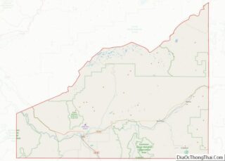
Map of Colorado State and its subdivision:- Adams
- Alamosa
- Arapahoe
- Archuleta
- Baca
- Bent
- Boulder
- Broomfield
- Chaffee
- Cheyenne
- Clear Creek
- Conejos
- Costilla
- Crowley
- Custer
- Delta
- Denver
- Dolores
- Douglas
- Eagle
- El Paso
- Elbert
- Fremont
- Garfield
- Gilpin
- Grand
- Gunnison
- Hinsdale
- Huerfano
- Jackson
- Jefferson
- Kiowa
- Kit Carson
- La Plata
- Lake
- Larimer
- Las Animas
- Lincoln
- Logan
- Mesa
- Mineral
- Moffat
- Montezuma
- Montrose
- Morgan
- Otero
- Ouray
- Park
- Phillips
- Pitkin
- Prowers
- Pueblo
- Rio Blanco
- Rio Grande
- Routt
- Saguache
- San Juan
- San Miguel
- Sedgwick
- Summit
- Teller
- Washington
- Weld
- Yuma
- Alabama
- Alaska
- Arizona
- Arkansas
- California
- Colorado
- Connecticut
- Delaware
- District of Columbia
- Florida
- Georgia
- Hawaii
- Idaho
- Illinois
- Indiana
- Iowa
- Kansas
- Kentucky
- Louisiana
- Maine
- Maryland
- Massachusetts
- Michigan
- Minnesota
- Mississippi
- Missouri
- Montana
- Nebraska
- Nevada
- New Hampshire
- New Jersey
- New Mexico
- New York
- North Carolina
- North Dakota
- Ohio
- Oklahoma
- Oregon
- Pennsylvania
- Rhode Island
- South Carolina
- South Dakota
- Tennessee
- Texas
- Utah
- Vermont
- Virginia
- Washington
- West Virginia
- Wisconsin
- Wyoming