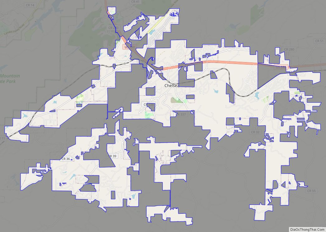
Map of Chatom town

Map of Chatom town

Chatom is a town in Washington County, Alabama, United States. It incorporated in 1949. Chatom is the county seat of Washington County, holding the distinction since 1907. The town’s population was 1,288 At the 2010 census, up from 1,193 in 2000. Chatom town overview: Name: Chatom town LSAD Code: 43 LSAD Description: town (suffix) State: … Read more

Map of Centreville city

Map of Centreville city, Alabama

Centreville is a city in Bibb County, Alabama, United States. At the 2020 census, the population was 2,800. The city is the county seat of Bibb County. Centreville city overview: Name: Centreville city LSAD Code: 25 LSAD Description: city (suffix) State: Alabama County: Bibb County Founded: 1823 Incorporated: 1832 Elevation: 253 ft (77 m) Total Area: 9.60 sq mi … Read more

Map of Childersburg city

Map of Childersburg city

Childersburg is a city in Talladega County in the U.S. state of Alabama. It was incorporated in 1889. At the 2020 census, the population was 4,754. It has a history dating back before 1540, when it was noted as a village of the Coosa Nation visited by the Spanish explorer Hernando de Soto. It is … Read more

Map of Chickasaw city

Map of Chickasaw city, Alabama

Chickasaw is a city in Mobile County, Alabama, United States. As of the 2020 census the population was 6,457, up from 6,106 at the 2010 census. It is part of the Mobile metropolitan area. Chickasaw city overview: Name: Chickasaw city LSAD Code: 25 LSAD Description: city (suffix) State: Alabama County: Mobile County Elevation: 30 ft (9 m) … Read more

Map of Cherokee town

Map of Cherokee town, Alabama

Cherokee is a town in west Colbert County, Alabama, United States. Located near the Tennessee River, it is part of the Florence–Muscle Shoals metropolitan area, known as “The Shoals”. As of the 2010 census, the population of the town was 1,048. Cherokee town overview: Name: Cherokee town LSAD Code: 43 LSAD Description: town (suffix) State: … Read more

Map of Citronelle city

Map of Citronelle city

Citronelle is a city on the northern border of Mobile County, Alabama, United States. At the 2020 census, the population was 3,946. It is included in the Mobile metropolitan statistical area and is about 34 miles (55 km) north of Mobile. Citronelle city overview: Name: Citronelle city LSAD Code: 25 LSAD Description: city (suffix) State: Alabama … Read more

Map of Chunchula CDP

Map of Chunchula CDP

Chunchula is an unincorporated community and census-designated place (CDP) in Mobile County, Alabama, United States. As of the 2020 census, its population was 195. It has a post office with the 36521 ZIP code. The community has one site listed on the Alabama Register of Landmarks and Heritage, the Chunchula School. Chunchula CDP overview: Name: … Read more

Map of Choccolocco CDP

Map of Choccolocco CDP

Choccolocco is an unincorporated community and census-designated place in Calhoun County, Alabama, United States. As of the 2010 census, its population was 2,804. It was founded in 1832. The name Choccolocco is an anglicization of the Creek words “chahko lago” (“big shoals”) or “choko rakko” (“big house”); sources vary. The community gained brief notoriety in … Read more

Map of Clay city

Map of Clay city, Alabama

Clay is a city in northeastern Jefferson County, Alabama, United States. It is part of the Birmingham–Hoover–Cullman Combined Statistical Area in the north-central part of the state. Local government is run by a mayor and city council. Before incorporation on June 6, 2000, it was a census-designated place (CDP). The population nearly doubled in the … Read more

Map of Clanton city

Map of Clanton city

Clanton is a city in Chilton County, Alabama, United States. It is part of the Birmingham–Hoover–Cullman Combined Statistical Area. At the 2020 census, the population was 8,768. The city is the county seat of Chilton County. Clanton is near the site of the geographic center of the U.S. state of Alabama. Clanton city overview: Name: … Read more

Map of Clayhatchee town

Map of Clayhatchee town

Clayhatchee is a town in Dale County, Alabama, United States. At the 2010 census the population was 589, up from 501 in 2000. It was incorporated in April 1967. It is part of the Ozark Micropolitan Statistical Area. Clayhatchee town overview: Name: Clayhatchee town LSAD Code: 43 LSAD Description: town (suffix) State: Alabama County: Dale … Read more

Map of Clio city

Map of Clio city, Alabama

Clio is a city in Barbour County, Alabama, United States. The population was 1,399 at the 2010 census, down from 2,206 in 2000, at which time it was a town. It is the birthplace of former Alabama governor George C. Wallace, as well as Baseball Hall of Famer and former Atlanta Braves broadcaster Don Sutton. … Read more