Childersburg is a city in Talladega County in the U.S. state of Alabama. It was incorporated in 1889. At the 2020 census, the population was 4,754. It has a history dating back before 1540, when it was noted as a village of the Coosa Nation visited by the Spanish explorer Hernando de Soto. It is said a member of De Soto’s crew fell ill and was left to settle in the area of present day Childersburg where the Coosa people cared for the ill explorer. The Alabama Army Ammunition Plant, important during World War II, was located 4 miles (6 km) north of Childersburg.
| Name: | Childersburg city |
|---|---|
| LSAD Code: | 25 |
| LSAD Description: | city (suffix) |
| State: | Alabama |
| County: | Talladega County |
| Elevation: | 420 ft (128 m) |
| Total Area: | 12.58 sq mi (32.59 km²) |
| Land Area: | 12.33 sq mi (31.94 km²) |
| Water Area: | 0.25 sq mi (0.65 km²) |
| Total Population: | 4,754 |
| Population Density: | 385.53/sq mi (148.86/km²) |
| ZIP code: | 35044 |
| Area code: | 256 |
| FIPS code: | 0114464 |
| GNISfeature ID: | 0116045 |
| Website: | www.childersburg.org |
Online Interactive Map
Click on ![]() to view map in "full screen" mode.
to view map in "full screen" mode.
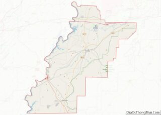
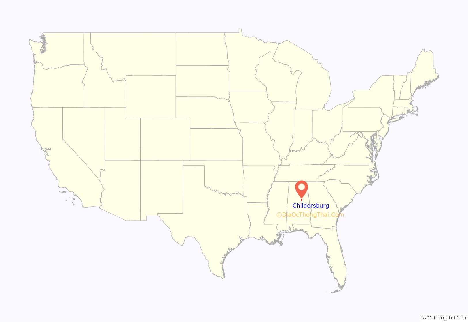
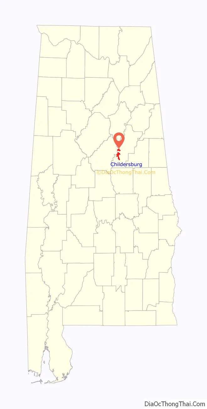
Childersburg location map. Where is Childersburg city?
History
Successive indigenous peoples had lived in the area for thousands of years. In the 16th century, people identified as part of the Kymulga-phase culture (of the larger Mississippian culture) lived at Talisi, the former site of Childersburg. In the fall of 1540, the Spanish explorer Hernando de Soto’s expedition rested here for about one month during its exploration of the Southeast. Childersburg is the “oldest occupied settlement in America” The Abihka people (part of those who became known as the Muskogee or Creek) dominated the area by the 18th century.
The Alabama Army Ammunition Plant, a munitions plant, was established in Childersburg in 1941 and operated throughout World War II until August 1945. Operated by DuPont, the plant produced explosives, such as nitrocellulose, trinitrotoluene (TNT), and dinitrotoluene (DNT). The plant also secretly produced heavy water to support the Manhattan Project. In 1940 the town had about five hundred people. Over fourteen thousand workers came to build and later operate the new facility.
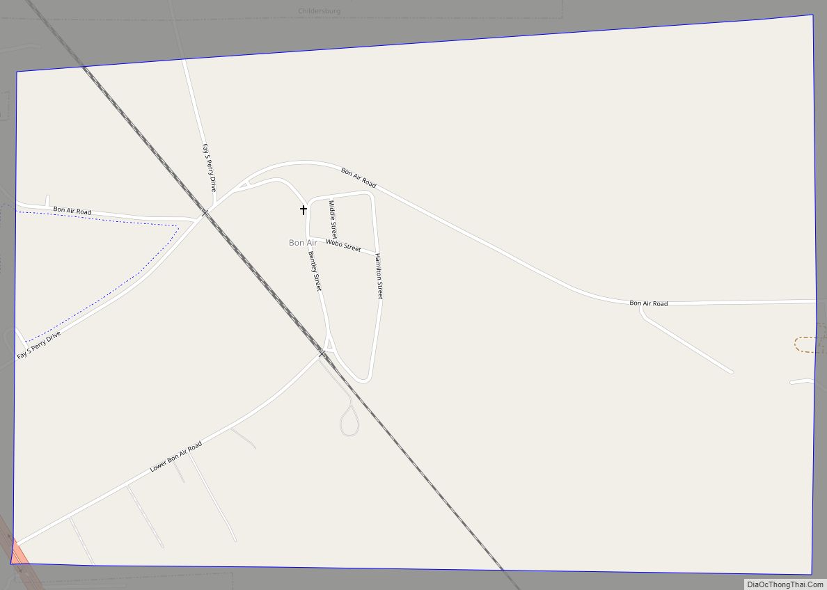
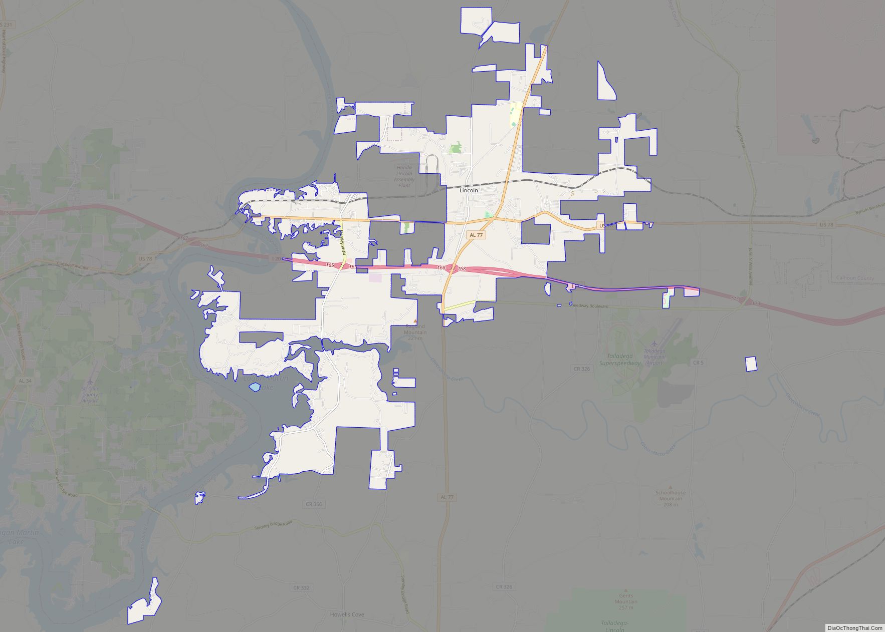
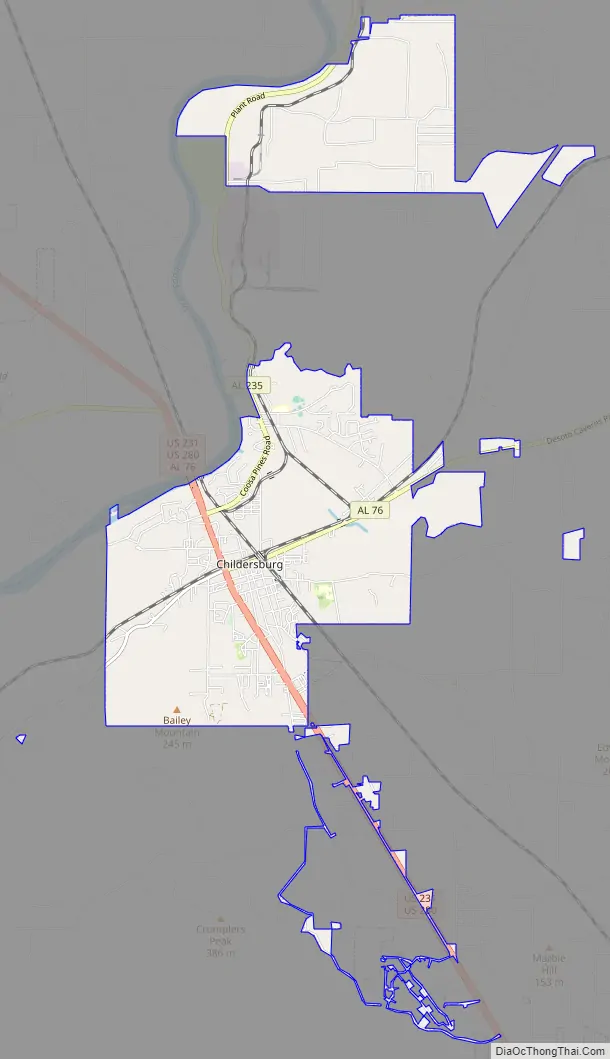
Childersburg Road Map
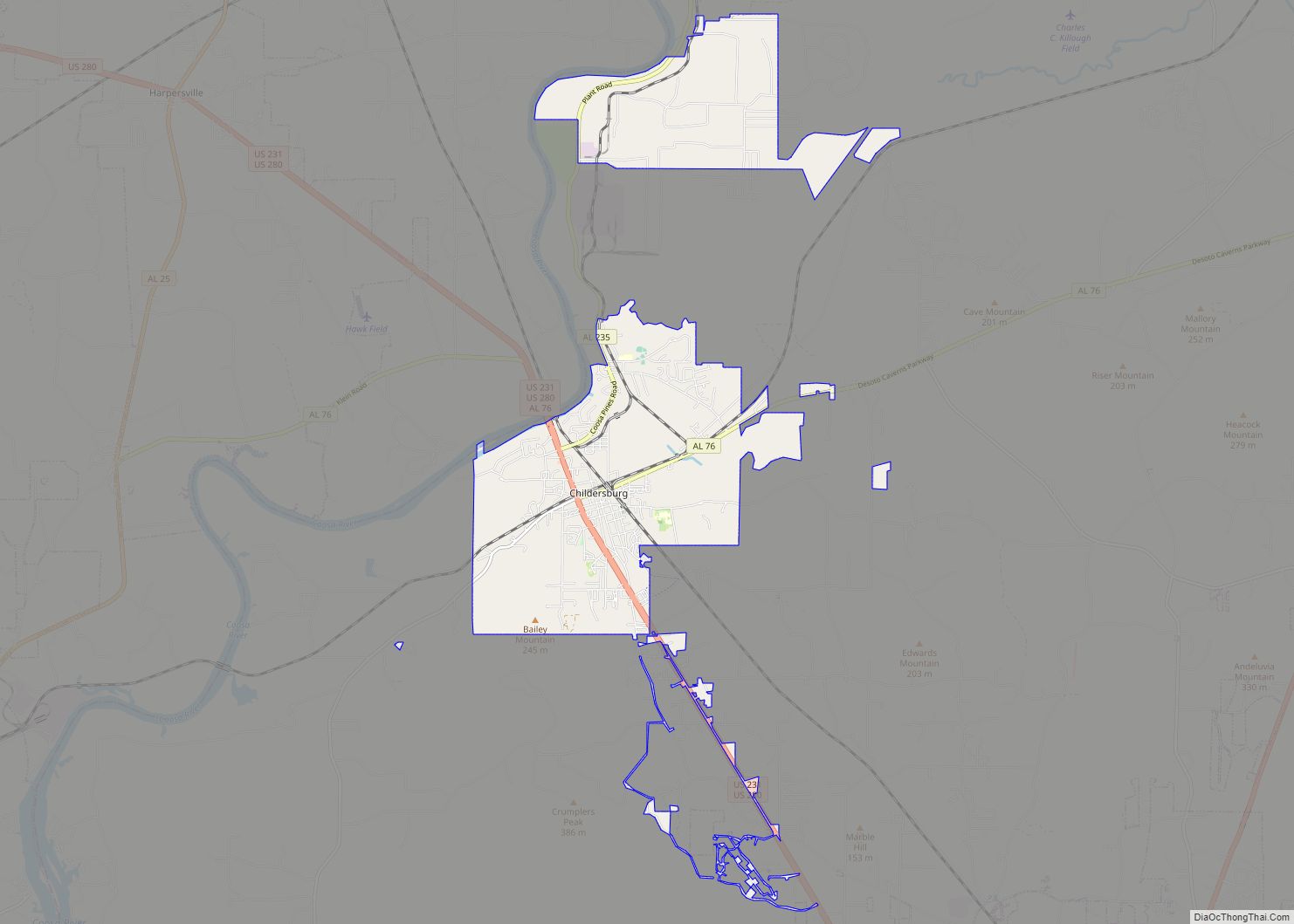
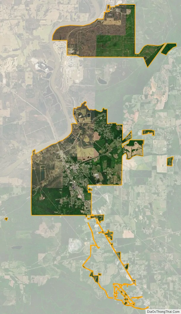
Childersburg city Satellite Map
Geography
Childersburg is located at 33°16′31″N 86°21′11″W / 33.27528°N 86.35306°W / 33.27528; -86.35306 (33.275187, −86.353166).
According to the U.S. Census Bureau, the city has a total area of 12.6 square miles (32.6 km), of which 12.4 square miles (32.0 km) is land and 0.27 square miles (0.7 km), or 2.00%, is water.
The city is located along the Coosa River in western Talladega County along US Routes 280 and 231. US 280 and 231 run northwest to southeast through the city, leading northwest 7 mi (11 km) to Harpersville, where they split, and US 280 continues 37 mi (60 km) to Birmingham. US 231/280 also run southeast 11 mi (18 km) to Sylacauga. Alabama Route 76 also runs through the city, leading east 10 mi (16 km) to Winterboro and southwest 7 mi (11 km) to Alabama Route 25 near Wilsonville.
Climate
See also
Map of Alabama State and its subdivision:- Autauga
- Baldwin
- Barbour
- Bibb
- Blount
- Bullock
- Butler
- Calhoun
- Chambers
- Cherokee
- Chilton
- Choctaw
- Clarke
- Clay
- Cleburne
- Coffee
- Colbert
- Conecuh
- Coosa
- Covington
- Crenshaw
- Cullman
- Dale
- Dallas
- De Kalb
- Elmore
- Escambia
- Etowah
- Fayette
- Franklin
- Geneva
- Greene
- Hale
- Henry
- Houston
- Jackson
- Jefferson
- Lamar
- Lauderdale
- Lawrence
- Lee
- Limestone
- Lowndes
- Macon
- Madison
- Marengo
- Marion
- Marshall
- Mobile
- Monroe
- Montgomery
- Morgan
- Perry
- Pickens
- Pike
- Randolph
- Russell
- Saint Clair
- Shelby
- Sumter
- Talladega
- Tallapoosa
- Tuscaloosa
- Walker
- Washington
- Wilcox
- Winston
- Alabama
- Alaska
- Arizona
- Arkansas
- California
- Colorado
- Connecticut
- Delaware
- District of Columbia
- Florida
- Georgia
- Hawaii
- Idaho
- Illinois
- Indiana
- Iowa
- Kansas
- Kentucky
- Louisiana
- Maine
- Maryland
- Massachusetts
- Michigan
- Minnesota
- Mississippi
- Missouri
- Montana
- Nebraska
- Nevada
- New Hampshire
- New Jersey
- New Mexico
- New York
- North Carolina
- North Dakota
- Ohio
- Oklahoma
- Oregon
- Pennsylvania
- Rhode Island
- South Carolina
- South Dakota
- Tennessee
- Texas
- Utah
- Vermont
- Virginia
- Washington
- West Virginia
- Wisconsin
- Wyoming