Cherokee is a town in west Colbert County, Alabama, United States. Located near the Tennessee River, it is part of the Florence–Muscle Shoals metropolitan area, known as “The Shoals”. As of the 2010 census, the population of the town was 1,048.
| Name: | Cherokee town |
|---|---|
| LSAD Code: | 43 |
| LSAD Description: | town (suffix) |
| State: | Alabama |
| County: | Colbert County |
| Elevation: | 518 ft (158 m) |
| Total Area: | 2.22 sq mi (5.74 km²) |
| Land Area: | 2.22 sq mi (5.74 km²) |
| Water Area: | 0.00 sq mi (0.00 km²) |
| Total Population: | 970 |
| Population Density: | 437.73/sq mi (168.97/km²) |
| ZIP code: | 35616 |
| Area code: | 256 |
| FIPS code: | 0114152 |
| GNISfeature ID: | 2406262 |
Online Interactive Map
Click on ![]() to view map in "full screen" mode.
to view map in "full screen" mode.
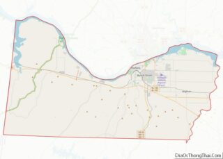
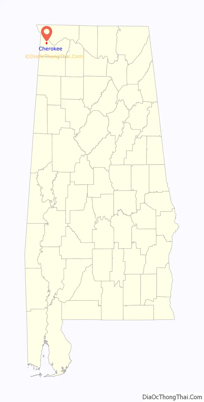
Cherokee location map. Where is Cherokee town?

History
Cherokee was incorporated December 7, 1871. While located along the Tennessee River, the town was started as a stop along the Memphis and Charleston Railroad during the late 1850s and early 1860s.
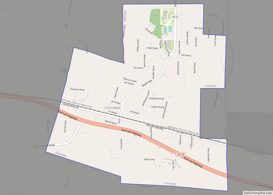
Cherokee Road Map

Cherokee city Satellite Map

Geography
Cherokee is situated along U.S. Route 72 west of Muscle Shoals and a few miles east of the Alabama-Mississippi state line. The Tennessee River passes to the northeast. Via US-72, Tuscumbia, the county seat of Colbert County, is 18 mi (29 km) east, and Iuka, Mississippi is 14 mi (23 km) northwest.
According to the U.S. Census Bureau, Cherokee has a total area of 2.2 square miles (5.7 km), all land.
Climate
- Annual Precipitation 60.6 inches
See also
Map of Alabama State and its subdivision:- Autauga
- Baldwin
- Barbour
- Bibb
- Blount
- Bullock
- Butler
- Calhoun
- Chambers
- Cherokee
- Chilton
- Choctaw
- Clarke
- Clay
- Cleburne
- Coffee
- Colbert
- Conecuh
- Coosa
- Covington
- Crenshaw
- Cullman
- Dale
- Dallas
- De Kalb
- Elmore
- Escambia
- Etowah
- Fayette
- Franklin
- Geneva
- Greene
- Hale
- Henry
- Houston
- Jackson
- Jefferson
- Lamar
- Lauderdale
- Lawrence
- Lee
- Limestone
- Lowndes
- Macon
- Madison
- Marengo
- Marion
- Marshall
- Mobile
- Monroe
- Montgomery
- Morgan
- Perry
- Pickens
- Pike
- Randolph
- Russell
- Saint Clair
- Shelby
- Sumter
- Talladega
- Tallapoosa
- Tuscaloosa
- Walker
- Washington
- Wilcox
- Winston
- Alabama
- Alaska
- Arizona
- Arkansas
- California
- Colorado
- Connecticut
- Delaware
- District of Columbia
- Florida
- Georgia
- Hawaii
- Idaho
- Illinois
- Indiana
- Iowa
- Kansas
- Kentucky
- Louisiana
- Maine
- Maryland
- Massachusetts
- Michigan
- Minnesota
- Mississippi
- Missouri
- Montana
- Nebraska
- Nevada
- New Hampshire
- New Jersey
- New Mexico
- New York
- North Carolina
- North Dakota
- Ohio
- Oklahoma
- Oregon
- Pennsylvania
- Rhode Island
- South Carolina
- South Dakota
- Tennessee
- Texas
- Utah
- Vermont
- Virginia
- Washington
- West Virginia
- Wisconsin
- Wyoming