Clay is a city in northeastern Jefferson County, Alabama, United States. It is part of the Birmingham–Hoover–Cullman Combined Statistical Area in the north-central part of the state. Local government is run by a mayor and city council.
Before incorporation on June 6, 2000, it was a census-designated place (CDP). The population nearly doubled in the next decade, reaching 9,708 at the 2010 census, as it has attracted commuters to jobs in the urban areas.
The oldest church in Jefferson County, Mount Calvary Presbyterian Church, is located in Clay. The congregation has been meeting continually since 1806, when it was established by early Scots-American settlers.
On January 23, 2012, a total of 231 homes and businesses were either damaged or destroyed when an EF3 tornado passed through several subdivisions. Damage was heavy in downtown Center Point. Some of the homes were flattened. Trees were snapped and uprooted along the path and the Center Point Elementary School was damaged. A sixteen-year-old student from Jefferson County International Baccalaureate School died before reaching cover during the tornado.
| Name: | Clay city |
|---|---|
| LSAD Code: | 25 |
| LSAD Description: | city (suffix) |
| State: | Alabama |
| County: | Jefferson County |
| Elevation: | 1,004 ft (306 m) |
| Total Area: | 11.34 sq mi (29.38 km²) |
| Land Area: | 11.28 sq mi (29.21 km²) |
| Water Area: | 0.06 sq mi (0.17 km²) |
| Total Population: | 10,291 |
| Population Density: | 912.40/sq mi (352.27/km²) |
| ZIP code: | 35048 |
| Area code: | 205 & 659 |
| FIPS code: | 0115256 |
| GNISfeature ID: | 2404063 |
| Website: | http://www.clayalabama.org/ |
Online Interactive Map
Click on ![]() to view map in "full screen" mode.
to view map in "full screen" mode.
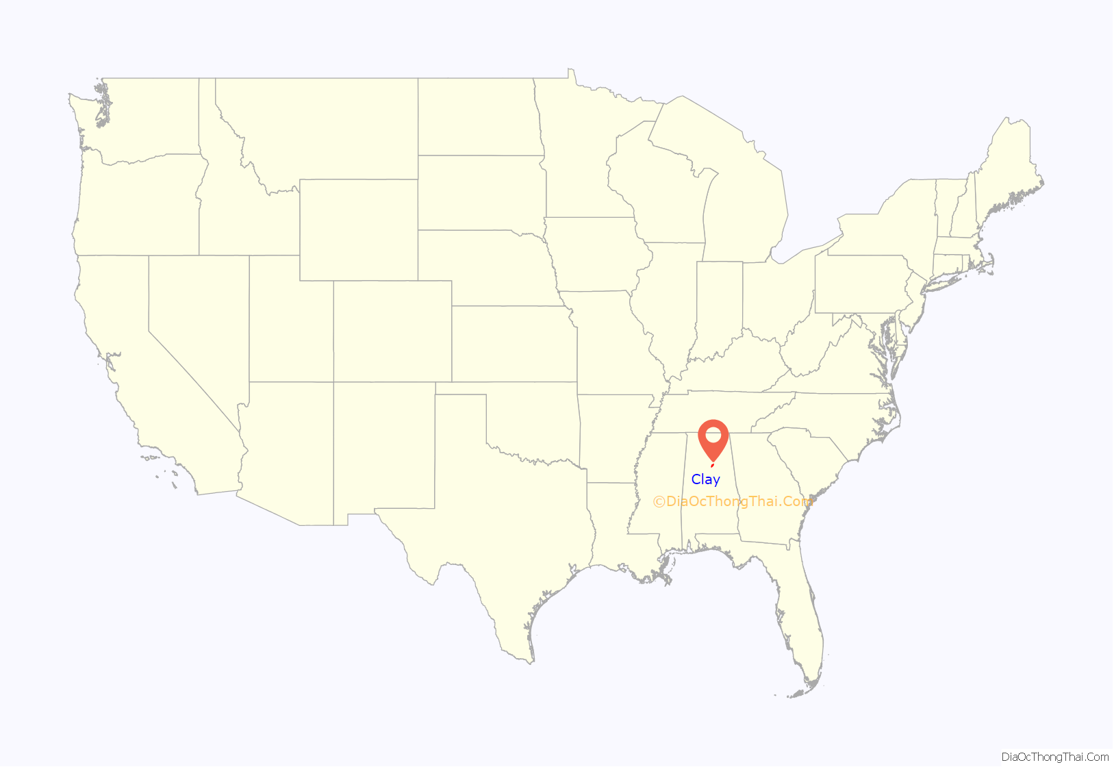
Clay location map. Where is Clay city?

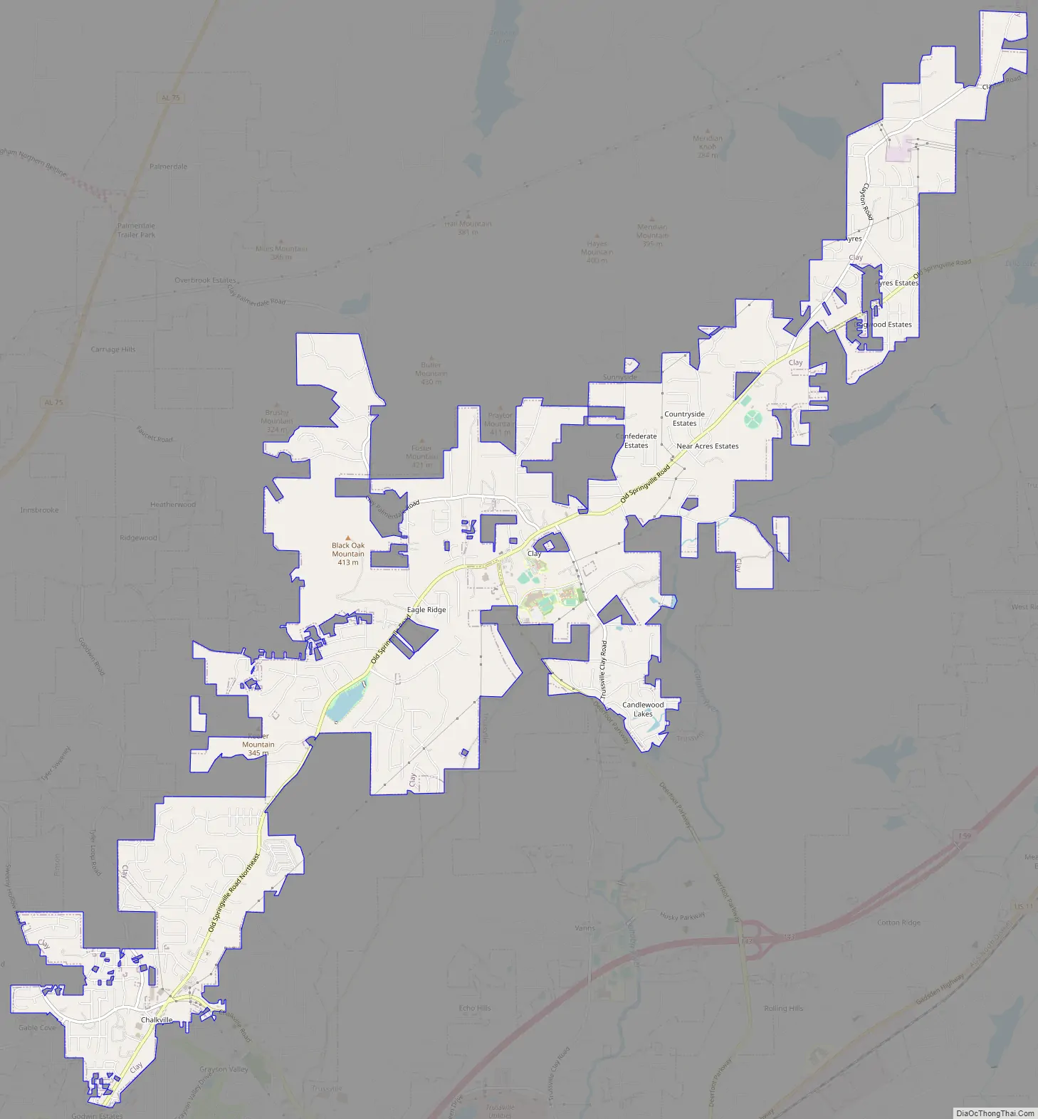
Clay Road Map
Clay city Satellite Map

Geography
According to the U.S. Census Bureau, the CDP had a total area of 10.3 square miles (27 km), of which 10.3 square miles (27 km) was land and 0.04 square miles (0.10 km) (0.29%) was water.
See also
Map of Alabama State and its subdivision:- Autauga
- Baldwin
- Barbour
- Bibb
- Blount
- Bullock
- Butler
- Calhoun
- Chambers
- Cherokee
- Chilton
- Choctaw
- Clarke
- Clay
- Cleburne
- Coffee
- Colbert
- Conecuh
- Coosa
- Covington
- Crenshaw
- Cullman
- Dale
- Dallas
- De Kalb
- Elmore
- Escambia
- Etowah
- Fayette
- Franklin
- Geneva
- Greene
- Hale
- Henry
- Houston
- Jackson
- Jefferson
- Lamar
- Lauderdale
- Lawrence
- Lee
- Limestone
- Lowndes
- Macon
- Madison
- Marengo
- Marion
- Marshall
- Mobile
- Monroe
- Montgomery
- Morgan
- Perry
- Pickens
- Pike
- Randolph
- Russell
- Saint Clair
- Shelby
- Sumter
- Talladega
- Tallapoosa
- Tuscaloosa
- Walker
- Washington
- Wilcox
- Winston
- Alabama
- Alaska
- Arizona
- Arkansas
- California
- Colorado
- Connecticut
- Delaware
- District of Columbia
- Florida
- Georgia
- Hawaii
- Idaho
- Illinois
- Indiana
- Iowa
- Kansas
- Kentucky
- Louisiana
- Maine
- Maryland
- Massachusetts
- Michigan
- Minnesota
- Mississippi
- Missouri
- Montana
- Nebraska
- Nevada
- New Hampshire
- New Jersey
- New Mexico
- New York
- North Carolina
- North Dakota
- Ohio
- Oklahoma
- Oregon
- Pennsylvania
- Rhode Island
- South Carolina
- South Dakota
- Tennessee
- Texas
- Utah
- Vermont
- Virginia
- Washington
- West Virginia
- Wisconsin
- Wyoming


