Map of Colfax town, Indiana
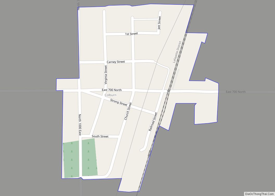
Colfax is a town in Perry Township, Clinton County, Indiana, United States. The population was 691 at the 2010 census. The town was originally known as Midway since it was a half-way point on the IC&L Railroad between Chicago & Louisville. Railways intersected North/South & East/West making Colfax a popular transfer destination. The town was ... Read more
Map of Colfax town, Indiana
Map of Colburn CDP
Colburn is a small unincorporated census-designated place in northeastern Washington Township, Tippecanoe County, in the U.S. state of Indiana. It is part of the Lafayette, Indiana Metropolitan Statistical Area. Colburn CDP overview: Name: Colburn CDP LSAD Code: 57 LSAD Description: CDP (suffix) State: Indiana County: Tippecanoe County Founded: 1858 Elevation: 663 ft (202 m) Total Area: 0.10 sq mi ... Read more
Map of Colburn CDP
Map of Coatesville town, Indiana
Coatesville is a town in Clay Township, Hendricks County, Indiana, United States. The population was 523 at the 2010 Census. Coatesville town overview: Name: Coatesville town LSAD Code: 43 LSAD Description: town (suffix) State: Indiana County: Hendricks County Elevation: 883 ft (269 m) Total Area: 0.67 sq mi (1.72 km²) Land Area: 0.65 sq mi (1.69 km²) Water Area: 0.01 sq mi (0.03 km²) Total Population: ... Read more
Map of Coatesville town, Indiana
Map of Columbus city, Indiana
Columbus /kəˈlʌmbəs/ is a city in and the county seat of Bartholomew County, Indiana, United States. The population was 50,474 at the 2020 census. The relatively small city has provided a unique place for noted Modern architecture and public art, commissioning numerous works since the mid-20th century; the annual program Exhibit Columbus celebrates this legacy. ... Read more
Map of Columbus city, Indiana
Map of Columbia City, Indiana
Columbia City is a city in Columbia Township, Whitley County, in the U.S. state of Indiana. The population was 9,892 (2020 Census), growing by 13% since the 2010 Census. The city is the county seat of Whitley County. Columbia City city overview: Name: Columbia City city LSAD Code: 25 LSAD Description: city (suffix) State: Indiana ... Read more
Map of Columbia City, Indiana
Map of Collegeville CDP, Indiana
Collegeville is a census-designated place (CDP) in Jasper County, Indiana, United States. The population was 330 at the 2010 census. Collegeville is home to the now-closed Saint Joseph’s College, the source of the town’s name. Collegeville CDP overview: Name: Collegeville CDP LSAD Code: 57 LSAD Description: CDP (suffix) State: Indiana County: Jasper County Elevation: 656 ft ... Read more
Map of Collegeville CDP, Indiana
Map of Converse town, Indiana
Converse is a town in Richland Township, Grant County, and Jackson Township, Miami County, in the U.S. state of Indiana. The population was 1,161 at the 2020 census. Converse town overview: Name: Converse town LSAD Code: 43 LSAD Description: town (suffix) State: Indiana County: Grant County, Miami County Elevation: 830 ft (253 m) Total Area: 0.99 sq mi (2.57 km²) ... Read more
Map of Converse town, Indiana
Map of Connersville city
Connersville is a city in Fayette County, east central Indiana, United States, 66 miles (106 km) east by southeast of Indianapolis. The population was 13,481 at the 2010 census. The city is the county seat of and the largest and only incorporated town in Fayette County. The city is in the center of a large rural ... Read more
Map of Connersville city
Map of Cordry Sweetwater Lakes CDP
Cordry Sweetwater Lakes is a census-designated place (CDP) in Hamblen Township, Brown County, in the U.S. state of Indiana. The population was 1,128 at the 2010 census. Sweetwater Lake is 260 acres in size. Cordry Sweetwater Lakes CDP overview: Name: Cordry Sweetwater Lakes CDP LSAD Code: 57 LSAD Description: CDP (suffix) State: Indiana County: Brown ... Read more
Map of Cordry Sweetwater Lakes CDP
Map of Country Club Heights town
Country Club Heights is a town in Anderson Township, Madison County, Indiana, United States. The population was 98 at the 2020 census. Country Club Heights town overview: Name: Country Club Heights town LSAD Code: 43 LSAD Description: town (suffix) State: Indiana County: Madison County Elevation: 879 ft (268 m) Total Area: 0.29 sq mi (0.76 km²) Land Area: 0.29 sq mi (0.76 km²) ... Read more
Map of Country Club Heights town
Map of Corydon town, Indiana
Corydon is a town in Harrison Township, Harrison County, Indiana. Located north of the Ohio River in the extreme southern part of the U.S. state of Indiana, it is the seat of government for Harrison County. Corydon was founded in 1808 and served as the capital of the Indiana Territory from 1813 to 1816. It ... Read more
Map of Corydon town, Indiana
Map of Corunna town, Indiana
Corunna is a town in Richland Township, DeKalb County, Indiana, United States. The population was 236 at the 2020 census estimate. Corunna town overview: Name: Corunna town LSAD Code: 43 LSAD Description: town (suffix) State: Indiana County: DeKalb County Elevation: 974 ft (297 m) Total Area: 0.18 sq mi (0.46 km²) Land Area: 0.18 sq mi (0.46 km²) Water Area: 0.00 sq mi (0.00 km²) Total ... Read more
Map of Corunna town, Indiana