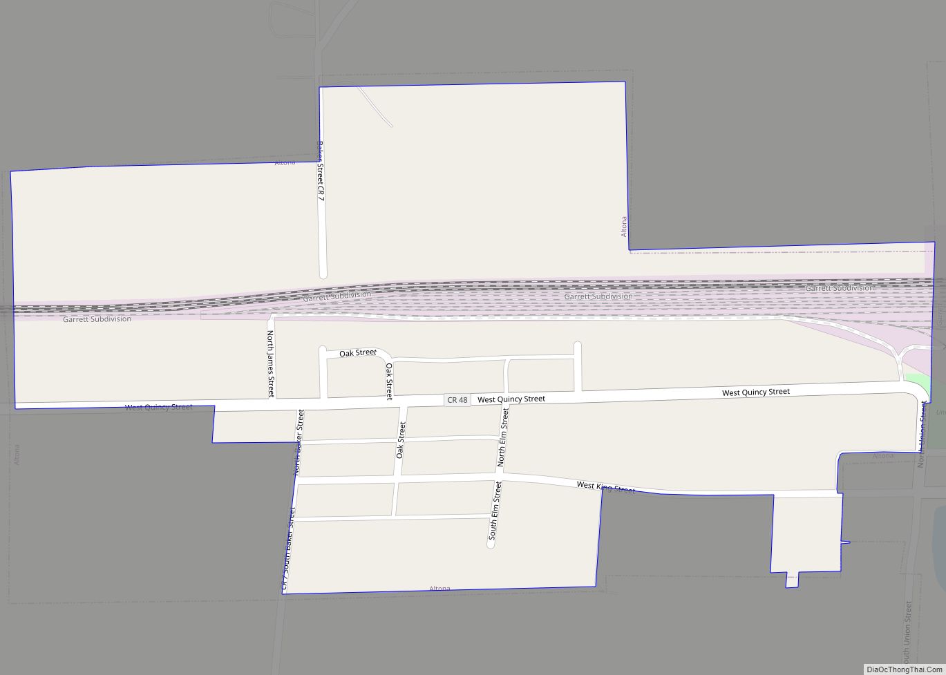
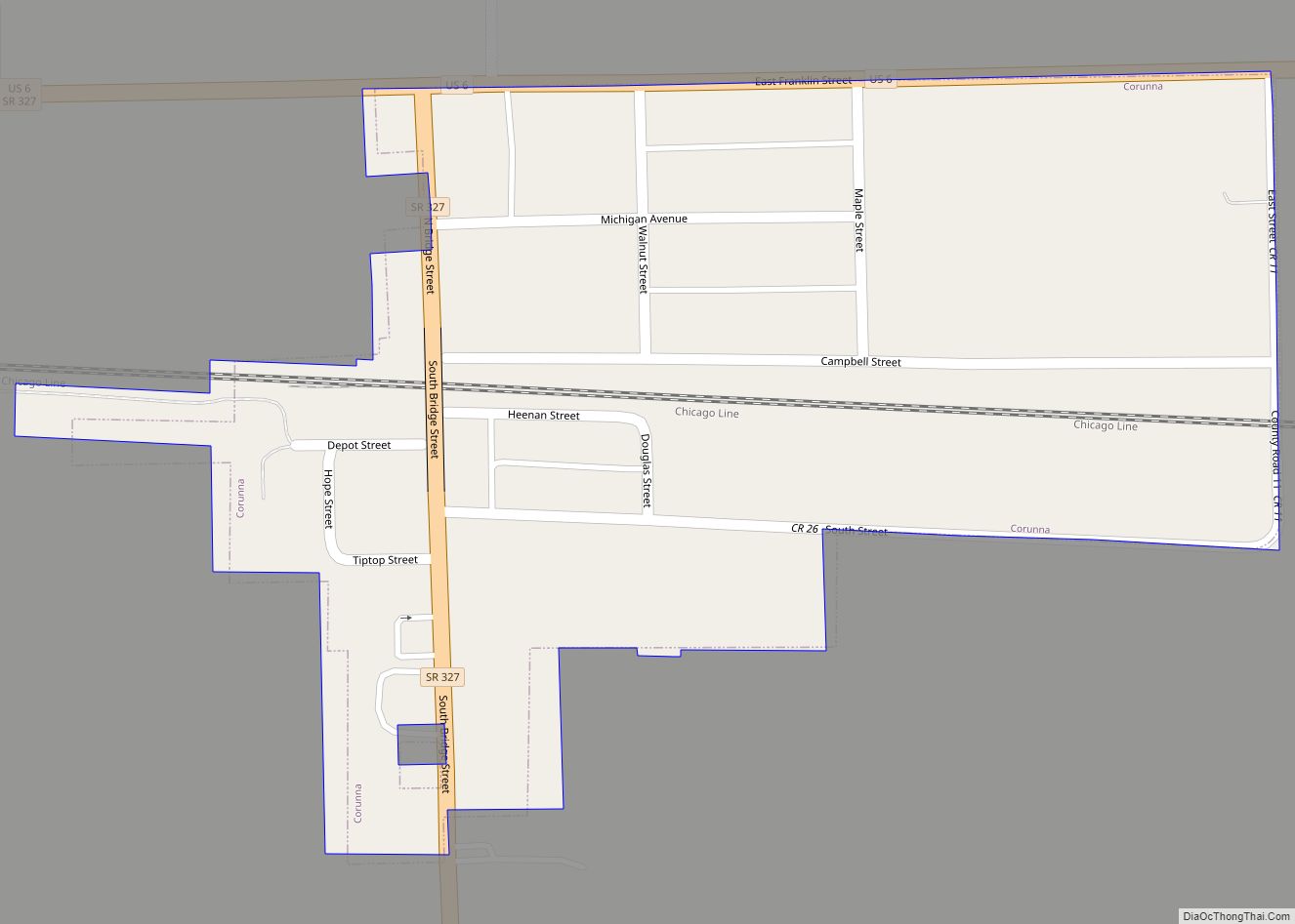
Corunna is a town in Richland Township, DeKalb County, Indiana, United States. The population was 236 at the 2020 census estimate.
| Name: | Corunna town |
|---|---|
| LSAD Code: | 43 |
| LSAD Description: | town (suffix) |
| State: | Indiana |
| County: | DeKalb County |
| Elevation: | 974 ft (297 m) |
| Total Area: | 0.18 sq mi (0.46 km²) |
| Land Area: | 0.18 sq mi (0.46 km²) |
| Water Area: | 0.00 sq mi (0.00 km²) |
| Total Population: | 236 |
| Population Density: | 1,318.44/sq mi (509.97/km²) |
| ZIP code: | 46730 |
| Area code: | 260 |
| FIPS code: | 1815220 |
| GNISfeature ID: | 0432996 |
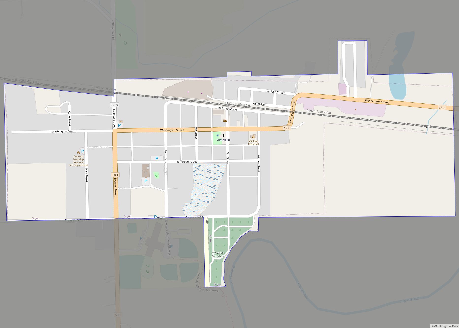
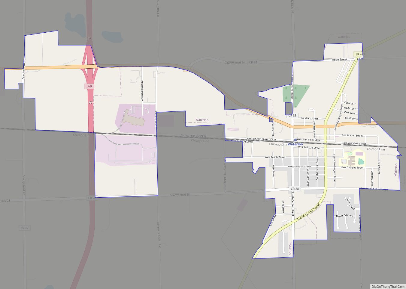
Online Interactive Map
Click on ![]() to view map in "full screen" mode.
to view map in "full screen" mode.
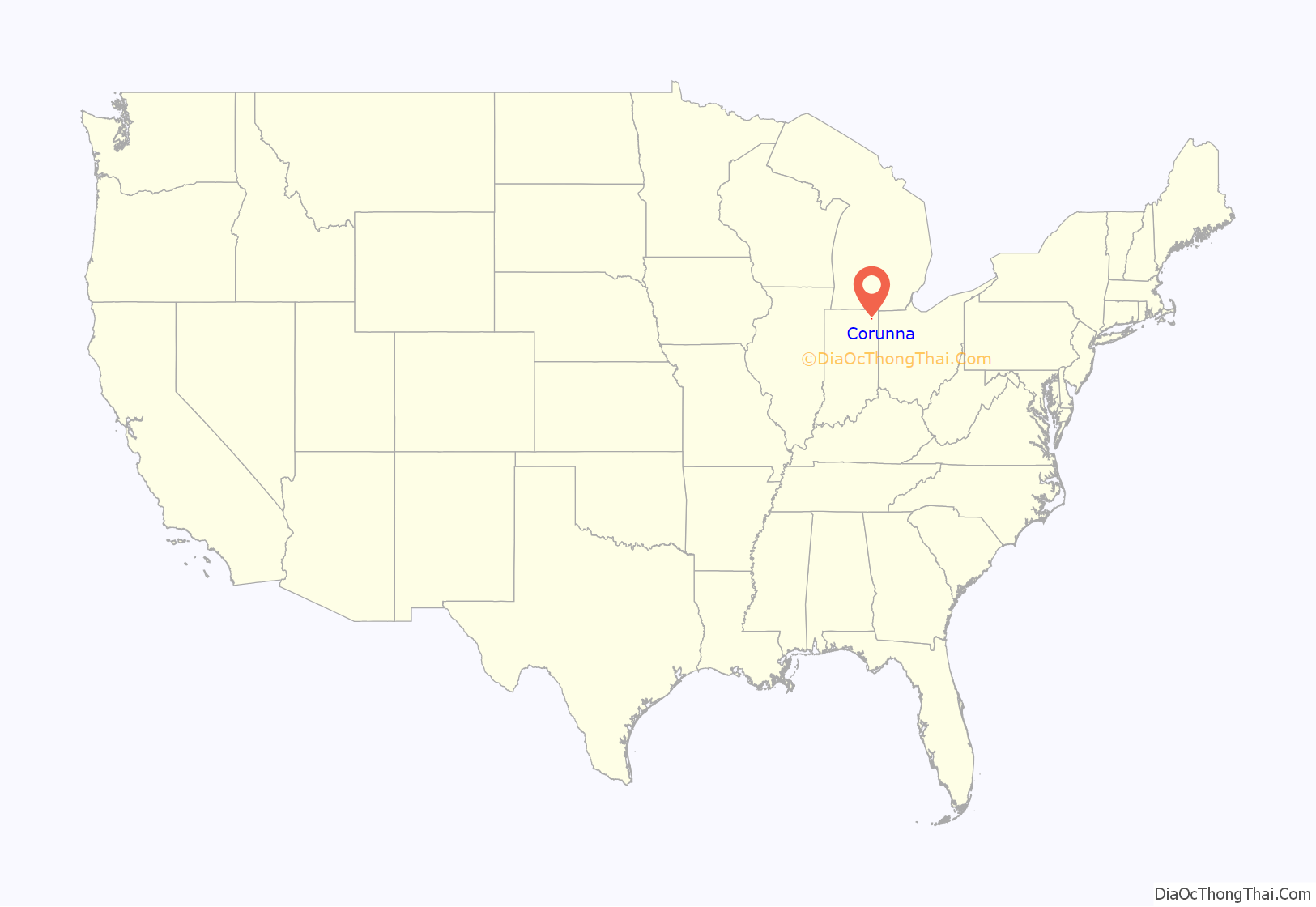
Corunna location map. Where is Corunna town?

History
A post office was established at Corunna in 1858. The town was most likely named after Corunna, Michigan.
In 1914, Corunna had three schools, a bank, two mills, and a hotel.
Corunna Road Map

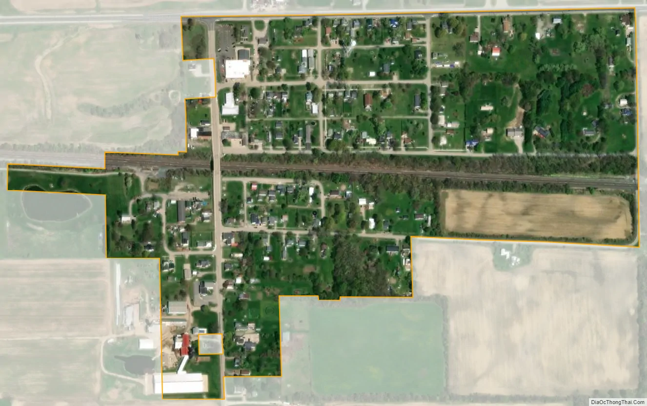
Corunna city Satellite Map
Geography
Corunna is located at 41°26′12″N 85°8′46″W / 41.43667°N 85.14611°W / 41.43667; -85.14611 (41.436722, -85.146189).
According to the 2010 census, Corunna has a total area of 0.17 square miles (0.44 km), all land.
See also
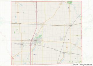
Map of Indiana State and its subdivision:- Adams
- Allen
- Bartholomew
- Benton
- Blackford
- Boone
- Brown
- Carroll
- Cass
- Clark
- Clay
- Clinton
- Crawford
- Daviess
- De Kalb
- Dearborn
- Decatur
- Delaware
- Dubois
- Elkhart
- Fayette
- Floyd
- Fountain
- Franklin
- Fulton
- Gibson
- Grant
- Greene
- Hamilton
- Hancock
- Harrison
- Hendricks
- Henry
- Howard
- Huntington
- Jackson
- Jasper
- Jay
- Jefferson
- Jennings
- Johnson
- Knox
- Kosciusko
- LaGrange
- Lake
- Lake Michigan
- LaPorte
- Lawrence
- Madison
- Marion
- Marshall
- Martin
- Miami
- Monroe
- Montgomery
- Morgan
- Newton
- Noble
- Ohio
- Orange
- Owen
- Parke
- Perry
- Pike
- Porter
- Posey
- Pulaski
- Putnam
- Randolph
- Ripley
- Rush
- Saint Joseph
- Scott
- Shelby
- Spencer
- Starke
- Steuben
- Sullivan
- Switzerland
- Tippecanoe
- Tipton
- Union
- Vanderburgh
- Vermillion
- Vigo
- Wabash
- Warren
- Warrick
- Washington
- Wayne
- Wells
- White
- Whitley
- Alabama
- Alaska
- Arizona
- Arkansas
- California
- Colorado
- Connecticut
- Delaware
- District of Columbia
- Florida
- Georgia
- Hawaii
- Idaho
- Illinois
- Indiana
- Iowa
- Kansas
- Kentucky
- Louisiana
- Maine
- Maryland
- Massachusetts
- Michigan
- Minnesota
- Mississippi
- Missouri
- Montana
- Nebraska
- Nevada
- New Hampshire
- New Jersey
- New Mexico
- New York
- North Carolina
- North Dakota
- Ohio
- Oklahoma
- Oregon
- Pennsylvania
- Rhode Island
- South Carolina
- South Dakota
- Tennessee
- Texas
- Utah
- Vermont
- Virginia
- Washington
- West Virginia
- Wisconsin
- Wyoming