Columbus /kəˈlʌmbəs/ is a city in and the county seat of Bartholomew County, Indiana, United States. The population was 50,474 at the 2020 census. The relatively small city has provided a unique place for noted Modern architecture and public art, commissioning numerous works since the mid-20th century; the annual program Exhibit Columbus celebrates this legacy. Located about 40 mi (64 km) south of Indianapolis, on the east fork of the White River, it is the state’s 20th-largest city. It is the principal city of the Columbus, Indiana metropolitan statistical area, which encompasses all of Bartholomew County. Columbus is the birthplace of former Indiana Governor and former Vice President of the United States, Mike Pence.
Columbus is the headquarters of the engine company Cummins, Inc. In 2004 the city was named as one of “The Ten Most Playful Towns” by Nick Jr. Family Magazine. In the July 2005 edition of GQ magazine, Columbus was named as one of the “62 Reasons to Love Your Country”. Columbus won the national contest “America in Bloom” in 2006, and in late 2008, National Geographic Traveler ranked Columbus 11th on its historic destinations list , describing the city as “authentic, unique, and unspoiled.”
| Name: | Columbus city |
|---|---|
| LSAD Code: | 25 |
| LSAD Description: | city (suffix) |
| State: | Indiana |
| County: | Bartholomew County |
| Elevation: | 630 ft (192 m) |
| Total Area: | 28.75 sq mi (74.47 km²) |
| Land Area: | 28.41 sq mi (73.59 km²) |
| Water Area: | 0.34 sq mi (0.88 km²) |
| Total Population: | 50,474 |
| Population Density: | 1,776.44/sq mi (685.90/km²) |
| ZIP code: | 47201-47203 |
| Area code: | 812 & 930 |
| FIPS code: | 1814734 |
| GNISfeature ID: | 0432826 |
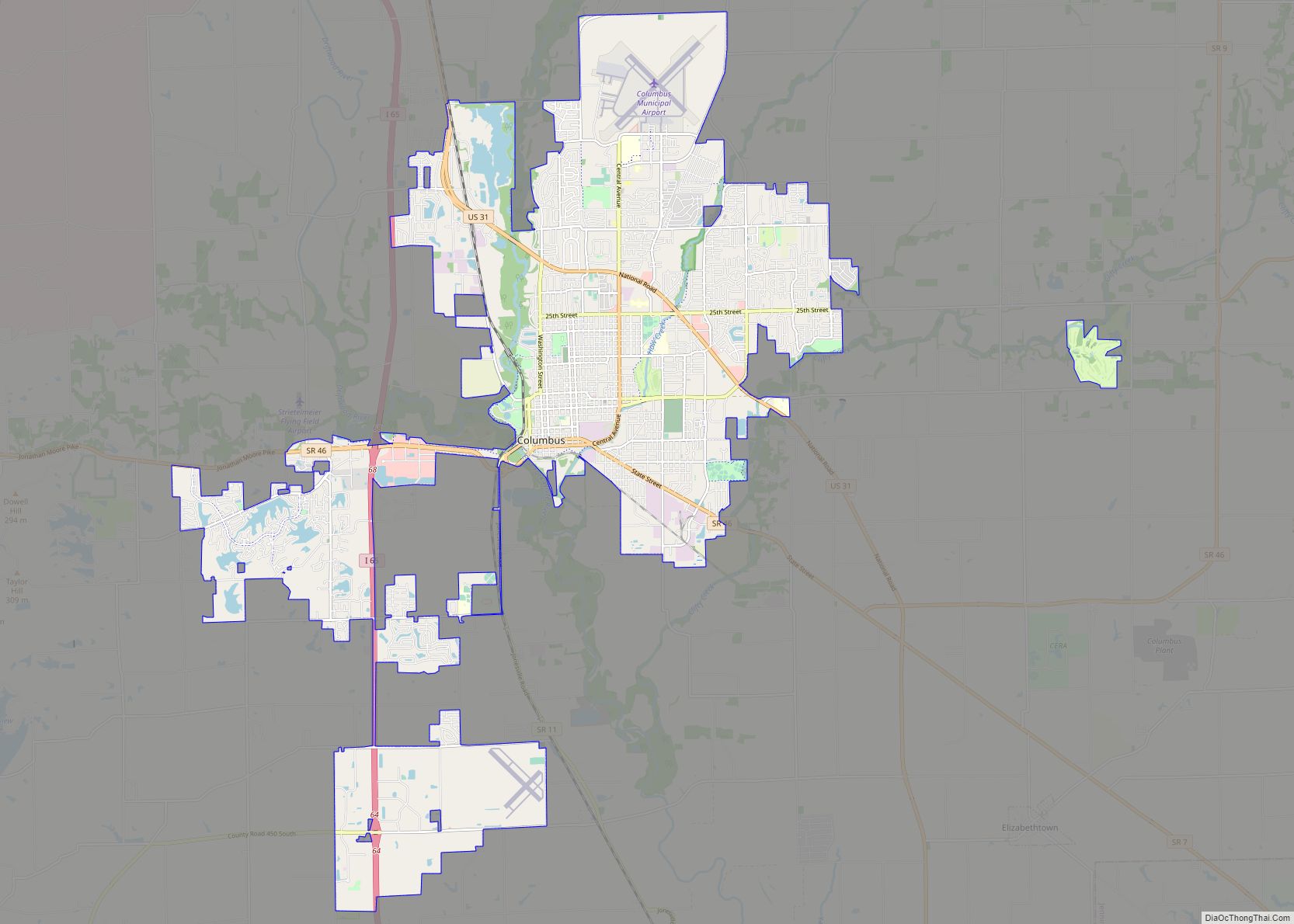
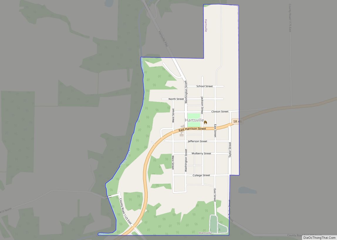
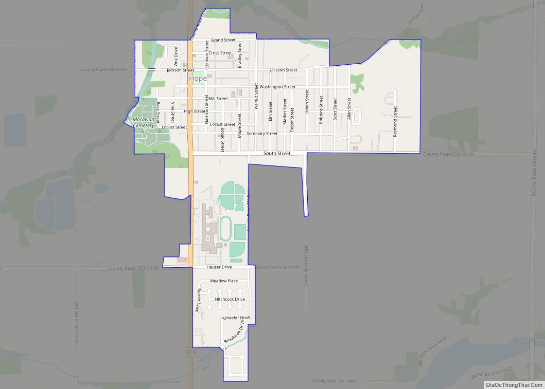
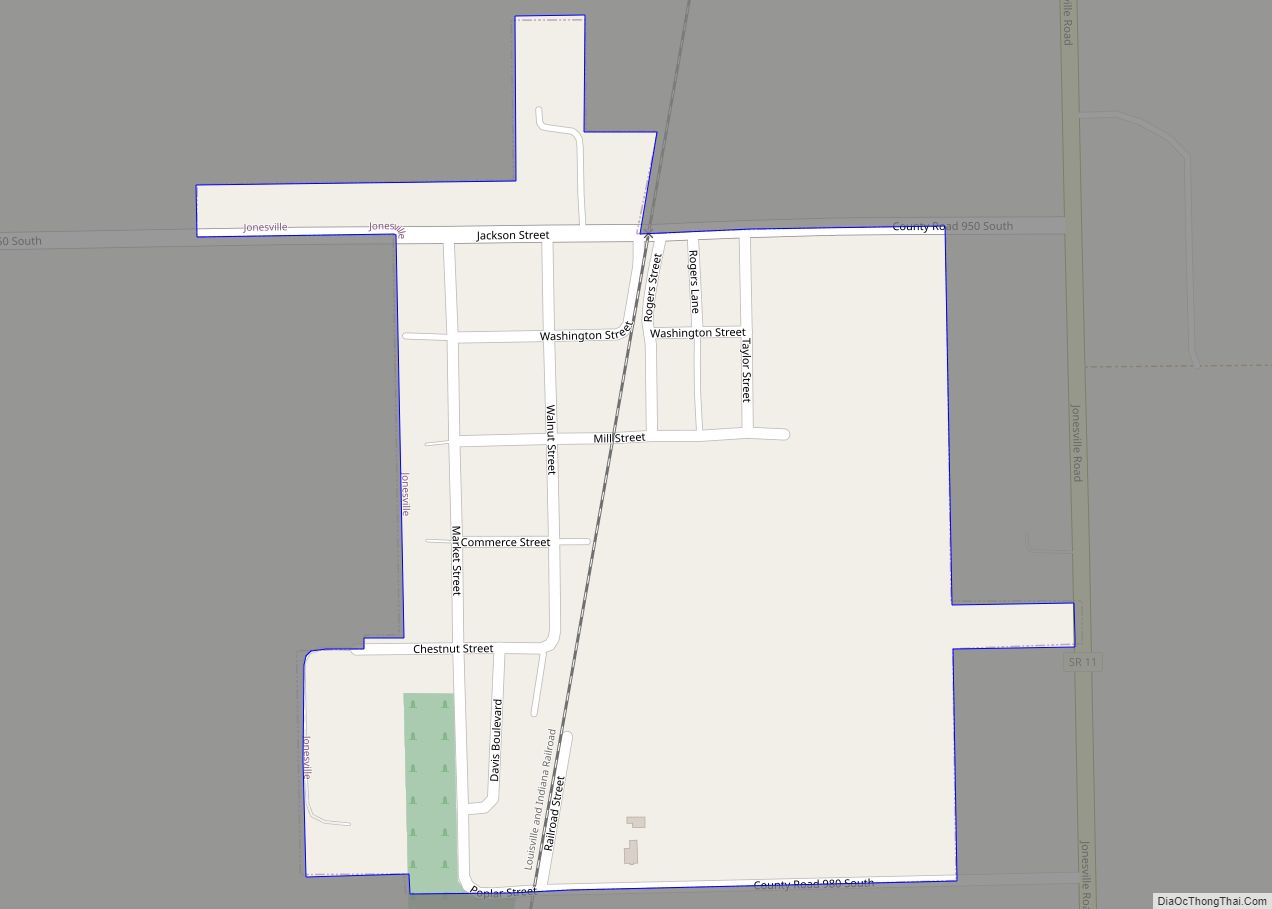
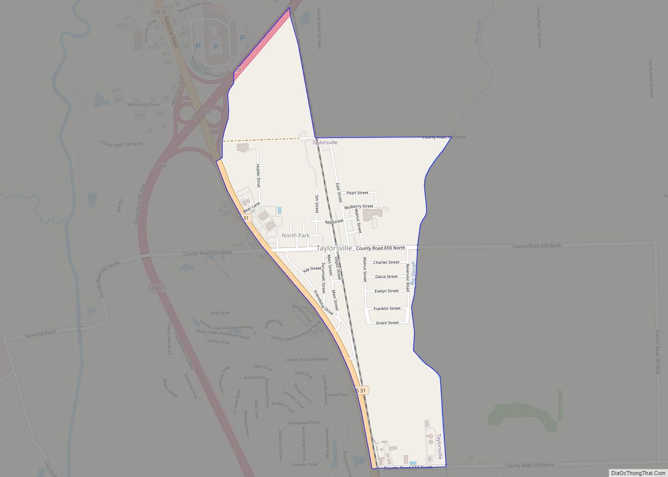
Online Interactive Map
Click on ![]() to view map in "full screen" mode.
to view map in "full screen" mode.
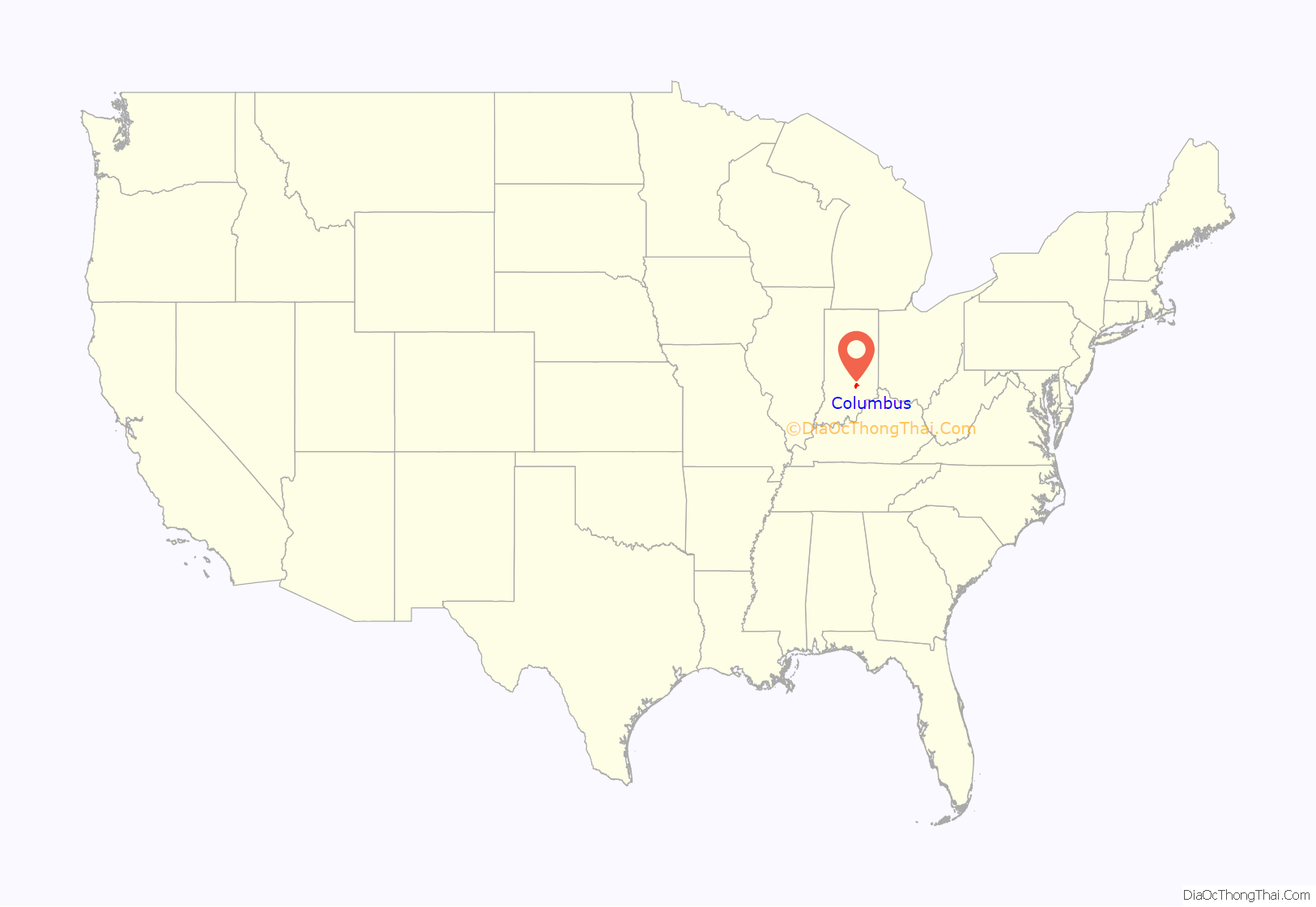
Columbus location map. Where is Columbus city?

History
The land developed as Columbus was bought by General John Tipton and Luke Bonesteel in 1820. Tipton built a log cabin on Mount Tipton, a small hill overlooking White River and the surrounding flat, heavily forested and swampy valley. It held wetlands of the river. The town was first known as Tiptona, named in honor of Tipton. The town’s name was changed to Columbus on March 20, 1821. Many people believe Tipton was upset by the name change, but no evidence exists to prove this. Nonetheless, he decided to leave the newly founded town and did not return.
Tipton was later appointed as the highway commissioner for the State of Indiana and was assigned to building a highway from Indianapolis, Indiana to Louisville, Kentucky. When the road approached Columbus, Tipton constructed the first bypass road ever built; it detoured south around the west side of Columbus en route to Seymour.
Joseph McKinney was the first to plot the town of Columbus, but no date was recorded. Local history books for years said that the land on which Columbus sits was donated by Tipton. But in 2003, Historic Columbus Indiana acquired a deed showing that Tipton had sold the land.
A ferry was established below the confluence of the Flatrock and Driftwood rivers, which form the White River. A village of three or four log cabins developed around the ferry landing, and a store was added in 1821. Later that year, Bartholomew County was organized by an act of the State Legislature and named to honor the famous Hoosier militiaman, General Joseph Bartholomew. Columbus was incorporated on June 28, 1864.
The first railroad in Indiana was constructed to Columbus from Madison, Indiana in 1844. This eventually became the Madison branch of the Pennsylvania Railroad. The railroad fostered the growth of the community into one of the largest in Indiana, and three more railroads reached the city by 1850.
The Crump Theatre in Columbus, built in 1889 by John Crump, is the oldest theater in Indiana Today the building is included within the Columbus Historic District. Before it closed permanently in 2010, it was an all-ages venue with occasional musical performances.
The Cummins Bookstore began operations it the city in 1892. Until late 2007, when it closed, it was the oldest continually operated bookstore in Indiana.
The Irwin Union Bank building was built in 1954. It was designated as a National Historic Landmark by the National Park Service in 2001 in recognition of its unique architecture. The building consists of a one-story bank structure adjacent to a three-story office annex. A portion of the office annex was built along with the banking hall in 1954. The remaining larger portion, designed by Kevin Roche John Dinkeloo and Associates, was built in 1973. Eero Saarinen designed the bank building with its glazed hall to be set off against the blank background of its three-story brick annex. Two steel and glass vestibule connectors lead from the north side of this structure to the annex. The building was designed to distance the Irwin Union Bank from traditional banking architecture, which mostly echoed imposing, neoclassical style buildings of brick or stone. Tellers were behind iron bars and removed from their customers. Saarinen worked to develop a building that would welcome customers rather than intimidate them.
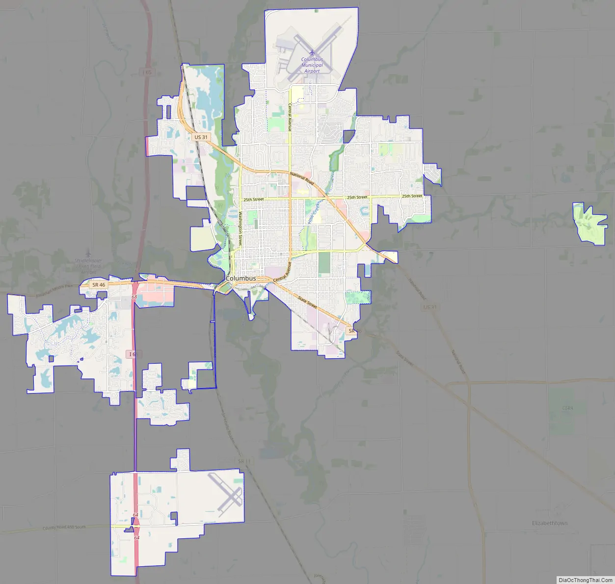
Columbus Road Map
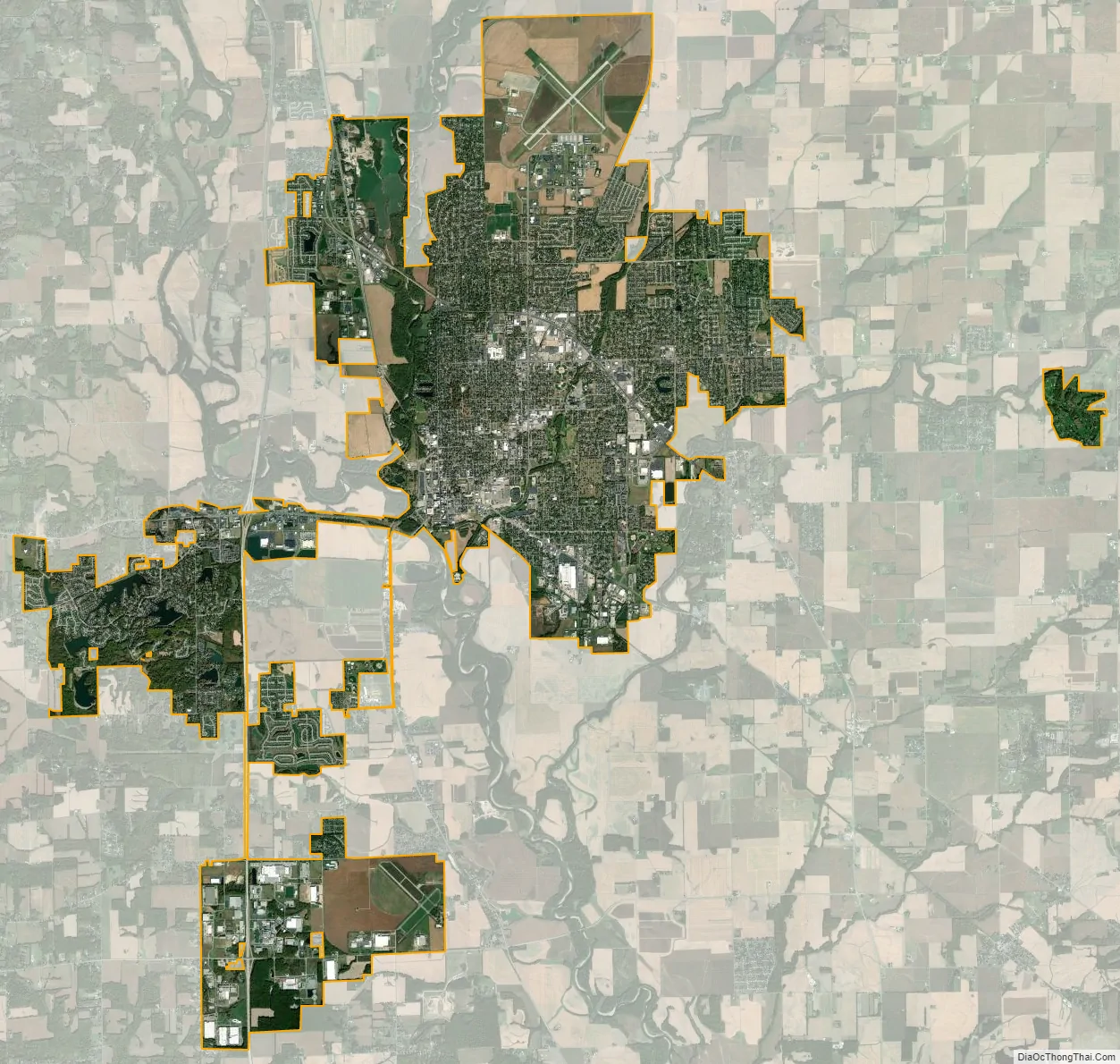
Columbus city Satellite Map
Geography
Columbus is located at 39°12′50″N 85°54′40″W / 39.21389°N 85.91111°W / 39.21389; -85.91111 (39.213998, −85.911056). The Driftwood and Flatrock Rivers converge at Columbus to form the East Fork of the White River.
According to the 2010 census, Columbus has a total area of 27.886 square miles (72.22 km), of which 27.5 square miles (71.22 km) (or 98.62%) is land and 0.386 square miles (1.00 km) (or 1.38%) is water.
See also
Map of Indiana State and its subdivision:- Adams
- Allen
- Bartholomew
- Benton
- Blackford
- Boone
- Brown
- Carroll
- Cass
- Clark
- Clay
- Clinton
- Crawford
- Daviess
- De Kalb
- Dearborn
- Decatur
- Delaware
- Dubois
- Elkhart
- Fayette
- Floyd
- Fountain
- Franklin
- Fulton
- Gibson
- Grant
- Greene
- Hamilton
- Hancock
- Harrison
- Hendricks
- Henry
- Howard
- Huntington
- Jackson
- Jasper
- Jay
- Jefferson
- Jennings
- Johnson
- Knox
- Kosciusko
- LaGrange
- Lake
- Lake Michigan
- LaPorte
- Lawrence
- Madison
- Marion
- Marshall
- Martin
- Miami
- Monroe
- Montgomery
- Morgan
- Newton
- Noble
- Ohio
- Orange
- Owen
- Parke
- Perry
- Pike
- Porter
- Posey
- Pulaski
- Putnam
- Randolph
- Ripley
- Rush
- Saint Joseph
- Scott
- Shelby
- Spencer
- Starke
- Steuben
- Sullivan
- Switzerland
- Tippecanoe
- Tipton
- Union
- Vanderburgh
- Vermillion
- Vigo
- Wabash
- Warren
- Warrick
- Washington
- Wayne
- Wells
- White
- Whitley
- Alabama
- Alaska
- Arizona
- Arkansas
- California
- Colorado
- Connecticut
- Delaware
- District of Columbia
- Florida
- Georgia
- Hawaii
- Idaho
- Illinois
- Indiana
- Iowa
- Kansas
- Kentucky
- Louisiana
- Maine
- Maryland
- Massachusetts
- Michigan
- Minnesota
- Mississippi
- Missouri
- Montana
- Nebraska
- Nevada
- New Hampshire
- New Jersey
- New Mexico
- New York
- North Carolina
- North Dakota
- Ohio
- Oklahoma
- Oregon
- Pennsylvania
- Rhode Island
- South Carolina
- South Dakota
- Tennessee
- Texas
- Utah
- Vermont
- Virginia
- Washington
- West Virginia
- Wisconsin
- Wyoming