Columbia City is a city in Columbia Township, Whitley County, in the U.S. state of Indiana. The population was 9,892 (2020 Census), growing by 13% since the 2010 Census. The city is the county seat of Whitley County.
| Name: | Columbia City city |
|---|---|
| LSAD Code: | 25 |
| LSAD Description: | city (suffix) |
| State: | Indiana |
| County: | Whitley County |
| Elevation: | 860 ft (262 m) |
| Total Area: | 5.47 sq mi (14.17 km²) |
| Land Area: | 5.45 sq mi (14.12 km²) |
| Water Area: | 0.02 sq mi (0.05 km²) |
| Total Population: | 9,892 |
| Population Density: | 1,813.71/sq mi (700.34/km²) |
| ZIP code: | 46725 |
| Area code: | 260 |
| FIPS code: | 1814716 |
| GNISfeature ID: | 432816 |
| Website: | http://www.columbiacity.net |
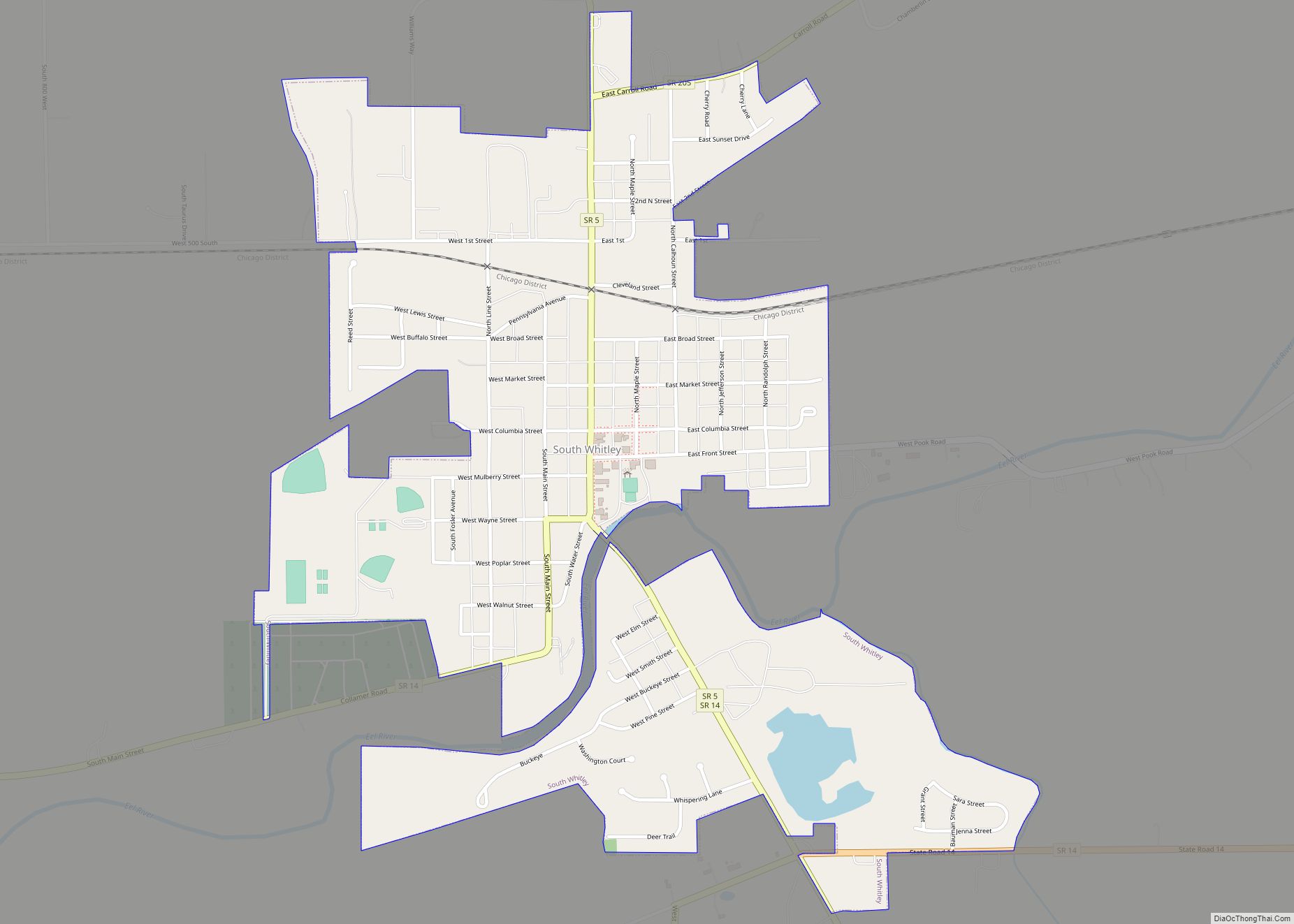
Online Interactive Map
Click on ![]() to view map in "full screen" mode.
to view map in "full screen" mode.
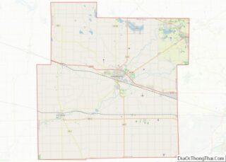
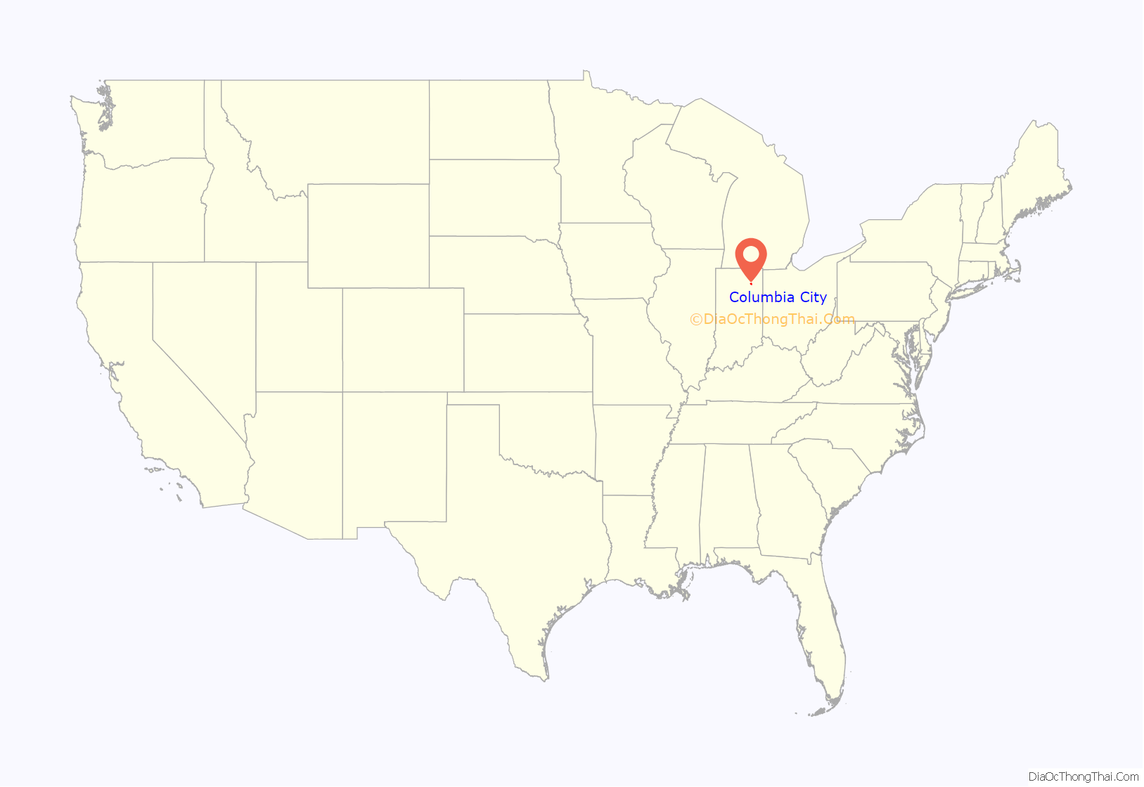
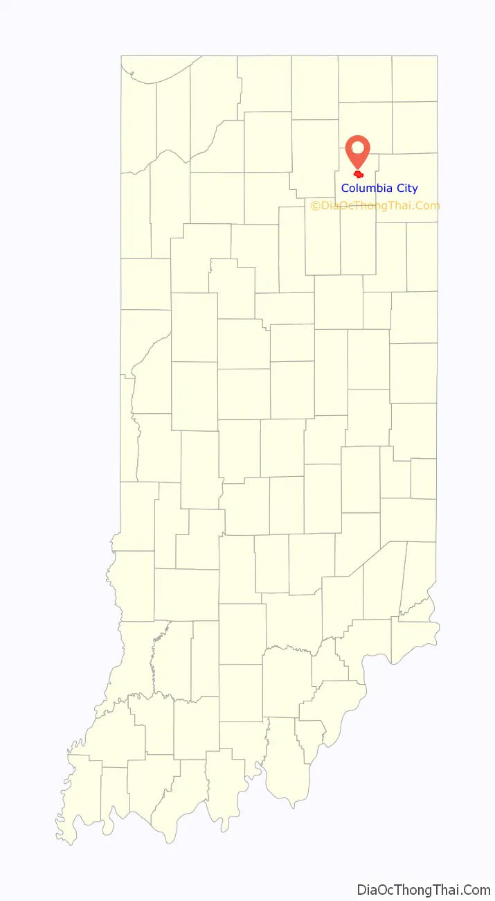
Columbia City location map. Where is Columbia City city?
History
The Whitley County Courthouse was designed (1888–1891) by Brentwood S. Tolan, of Fort Wayne, Indiana. The building was added to the National Register of Historic Places in 1979. The Thomas R. Marshall House was added to the register in 1983 and the Columbia City Historic District was added in 1987.
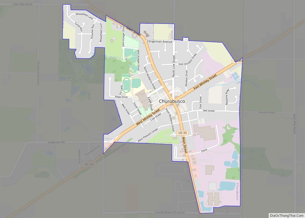
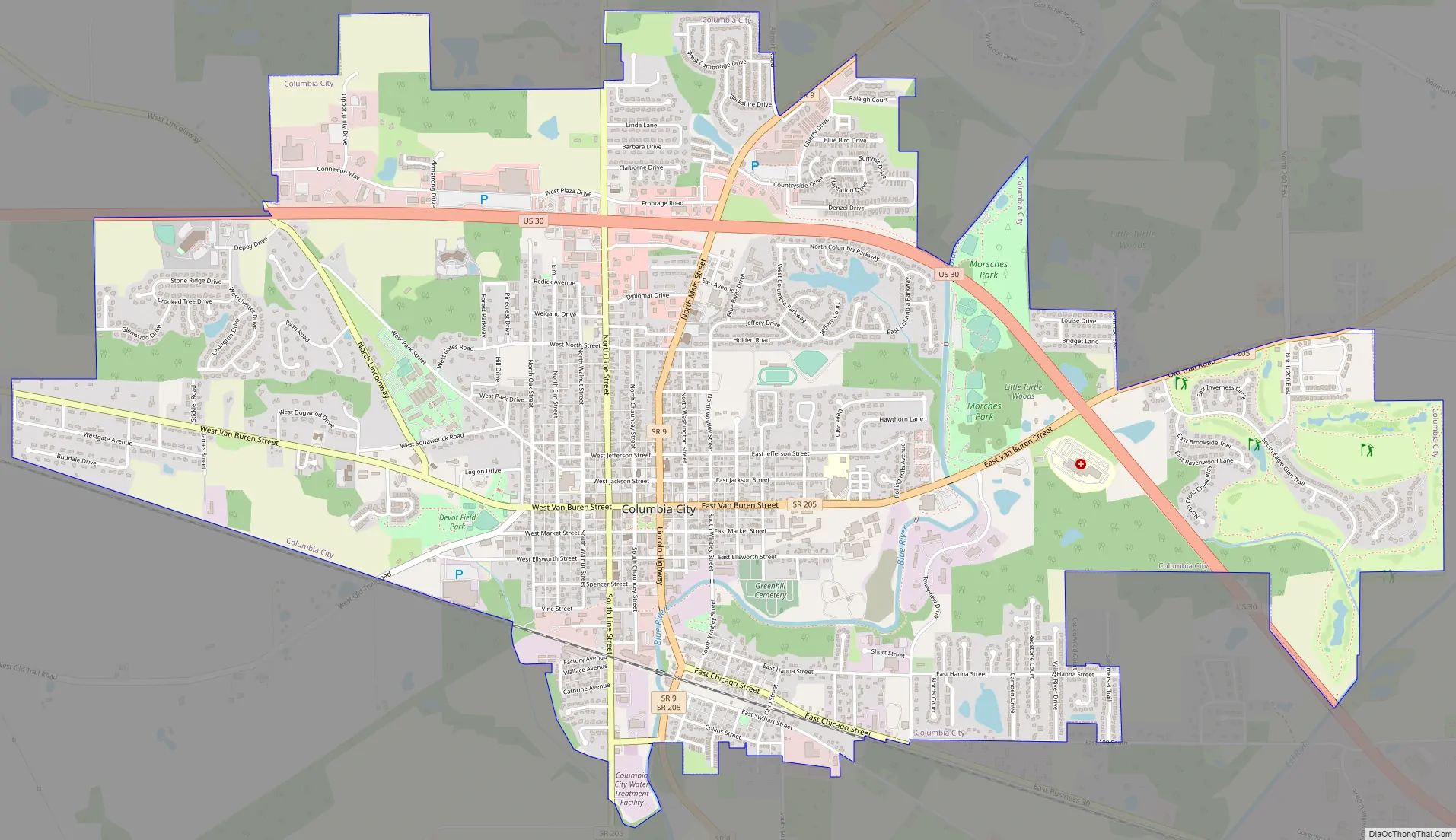
Columbia City Road Map
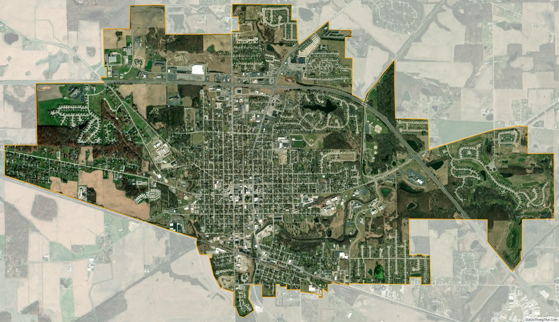
Columbia City city Satellite Map
Geography
Columbia City is located at 41°9′31″N 85°29′16″W / 41.15861°N 85.48778°W / 41.15861; -85.48778 (41.158569, -85.487784).
According to the 2010 census, Columbia City has a total area of 5.601 square miles (14.51 km), of which 5.58 square miles (14.45 km) (or 99.63%) is land and 0.021 square miles (0.05 km) (or 0.37%) is water.
See also
Map of Indiana State and its subdivision:- Adams
- Allen
- Bartholomew
- Benton
- Blackford
- Boone
- Brown
- Carroll
- Cass
- Clark
- Clay
- Clinton
- Crawford
- Daviess
- De Kalb
- Dearborn
- Decatur
- Delaware
- Dubois
- Elkhart
- Fayette
- Floyd
- Fountain
- Franklin
- Fulton
- Gibson
- Grant
- Greene
- Hamilton
- Hancock
- Harrison
- Hendricks
- Henry
- Howard
- Huntington
- Jackson
- Jasper
- Jay
- Jefferson
- Jennings
- Johnson
- Knox
- Kosciusko
- LaGrange
- Lake
- Lake Michigan
- LaPorte
- Lawrence
- Madison
- Marion
- Marshall
- Martin
- Miami
- Monroe
- Montgomery
- Morgan
- Newton
- Noble
- Ohio
- Orange
- Owen
- Parke
- Perry
- Pike
- Porter
- Posey
- Pulaski
- Putnam
- Randolph
- Ripley
- Rush
- Saint Joseph
- Scott
- Shelby
- Spencer
- Starke
- Steuben
- Sullivan
- Switzerland
- Tippecanoe
- Tipton
- Union
- Vanderburgh
- Vermillion
- Vigo
- Wabash
- Warren
- Warrick
- Washington
- Wayne
- Wells
- White
- Whitley
- Alabama
- Alaska
- Arizona
- Arkansas
- California
- Colorado
- Connecticut
- Delaware
- District of Columbia
- Florida
- Georgia
- Hawaii
- Idaho
- Illinois
- Indiana
- Iowa
- Kansas
- Kentucky
- Louisiana
- Maine
- Maryland
- Massachusetts
- Michigan
- Minnesota
- Mississippi
- Missouri
- Montana
- Nebraska
- Nevada
- New Hampshire
- New Jersey
- New Mexico
- New York
- North Carolina
- North Dakota
- Ohio
- Oklahoma
- Oregon
- Pennsylvania
- Rhode Island
- South Carolina
- South Dakota
- Tennessee
- Texas
- Utah
- Vermont
- Virginia
- Washington
- West Virginia
- Wisconsin
- Wyoming