Coatesville is a town in Clay Township, Hendricks County, Indiana, United States. The population was 523 at the 2010 Census.
| Name: | Coatesville town |
|---|---|
| LSAD Code: | 43 |
| LSAD Description: | town (suffix) |
| State: | Indiana |
| County: | Hendricks County |
| Elevation: | 883 ft (269 m) |
| Total Area: | 0.67 sq mi (1.72 km²) |
| Land Area: | 0.65 sq mi (1.69 km²) |
| Water Area: | 0.01 sq mi (0.03 km²) |
| Total Population: | 555 |
| Population Density: | 849.92/sq mi (327.96/km²) |
| Area code: | 765 |
| FIPS code: | 1814050 |
| GNISfeature ID: | 0432714 |
| Website: | coatesvilleindiana.org |
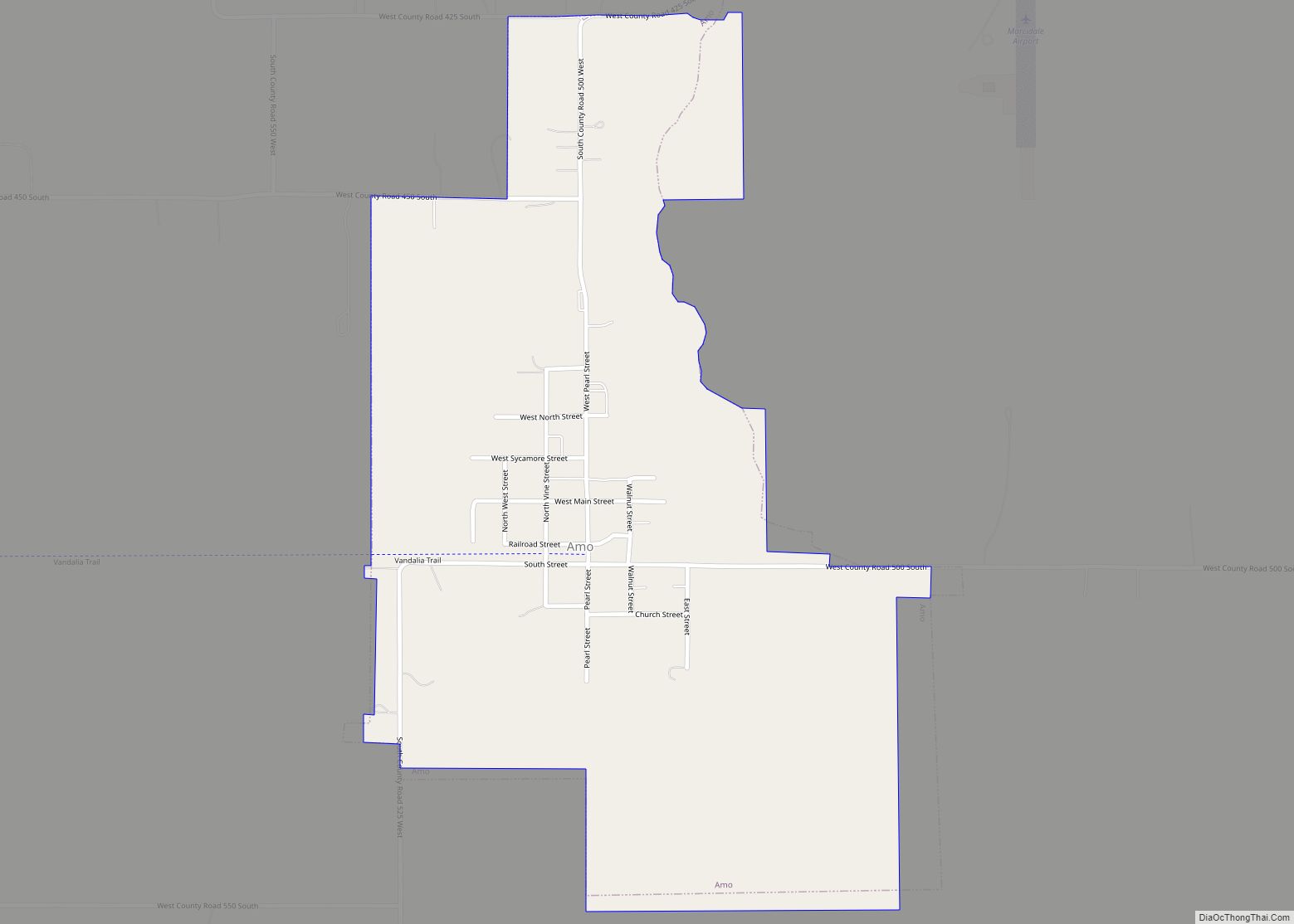
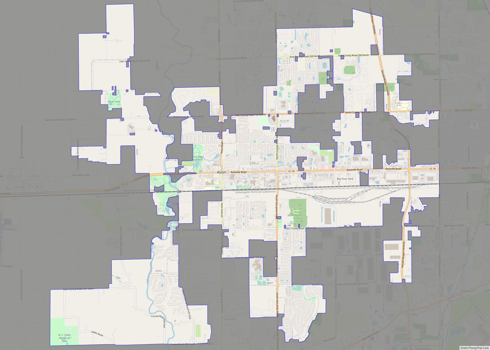
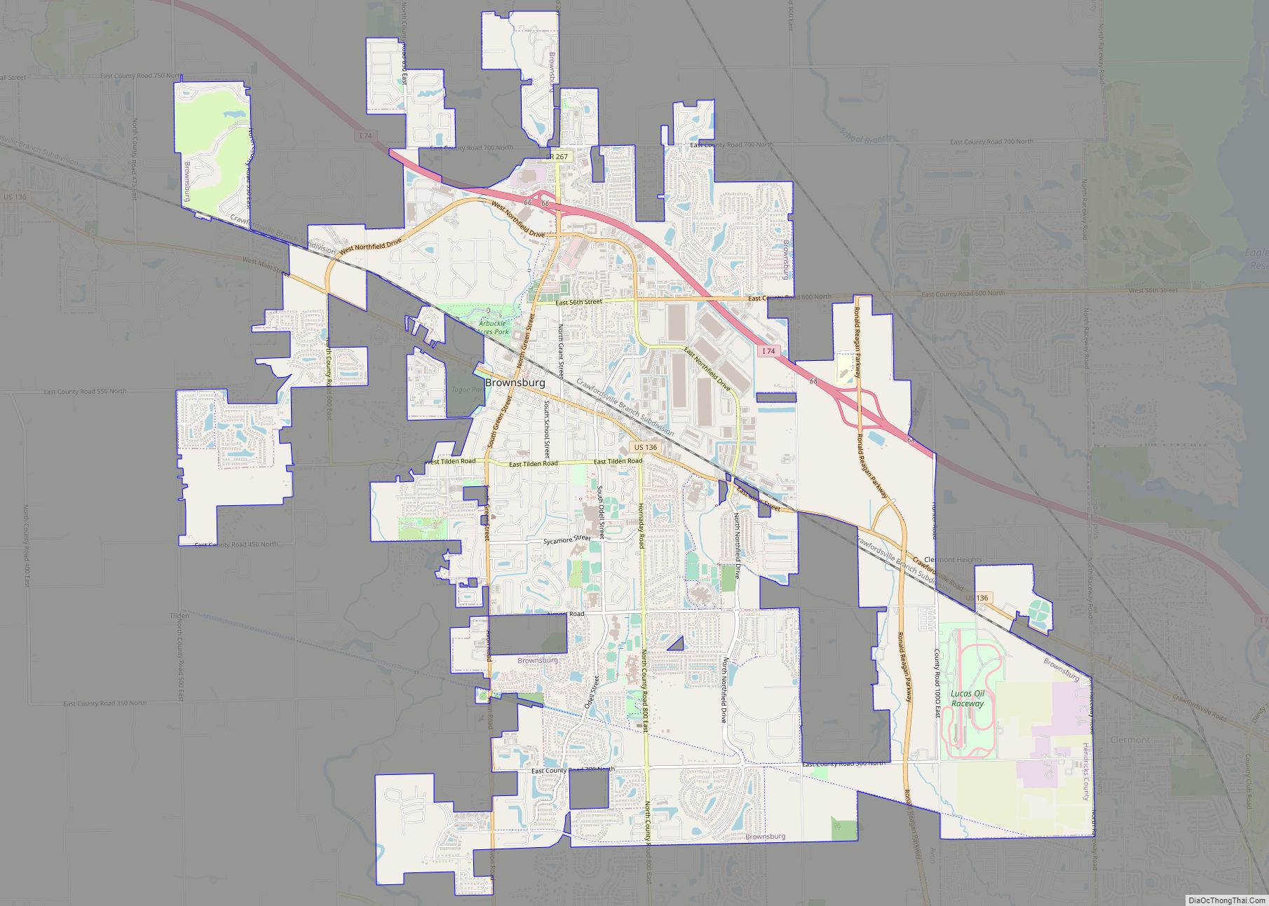
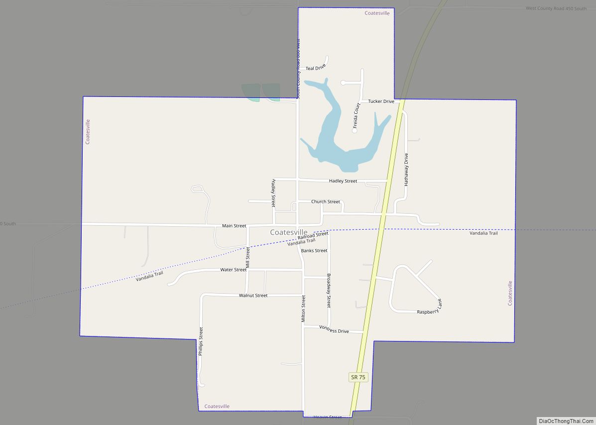
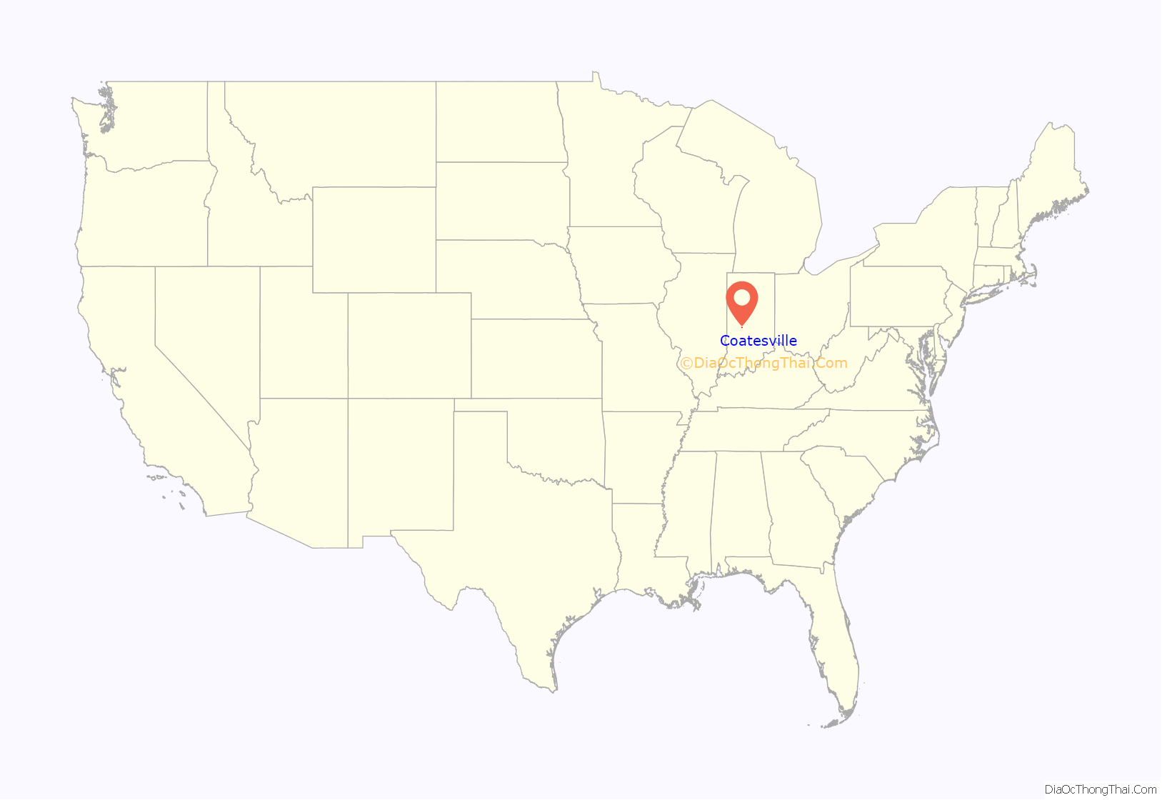
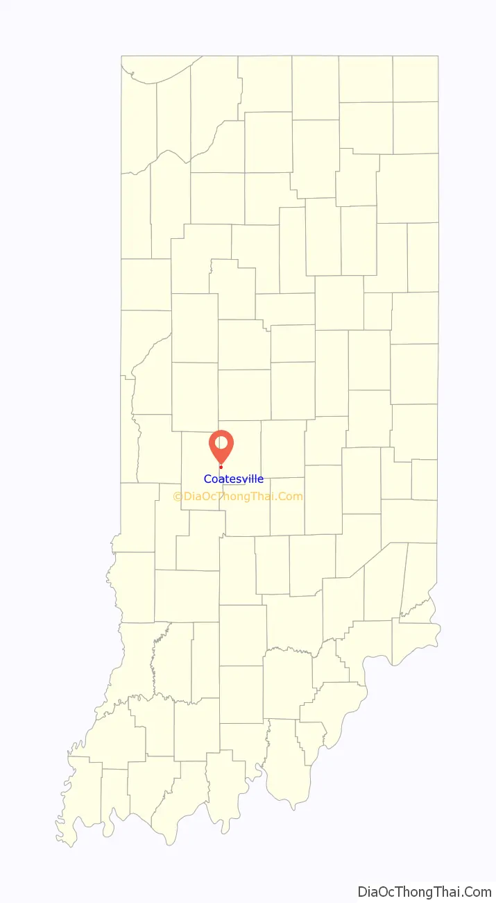
Online Interactive Map
Click on ![]() to view map in "full screen" mode.
to view map in "full screen" mode.
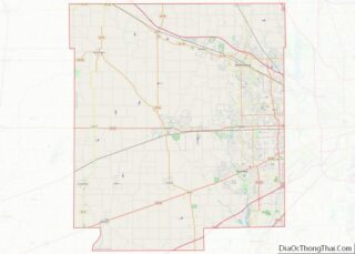
Coatesville location map. Where is Coatesville town?
History
Coatesville was founded in the late 1860s. It was incorporated as a town in 1909.
A gas station was opened in downtown Coatesville in the early 1900s. By 1958 it was operated by Standard Oil. At one time, Coatesville had three gas stations, but as of 2020 it has none. The location of the town’s first gas station has been renovated into a replica of the Standard Oil station as it would have looked in the late 1950s.
On March 26, 1948 (Good Friday) a tornado destroyed most of the town, killing 14 residents. Damage and fatalities were widespread across west-central Indiana, and overall, 20 people perished.
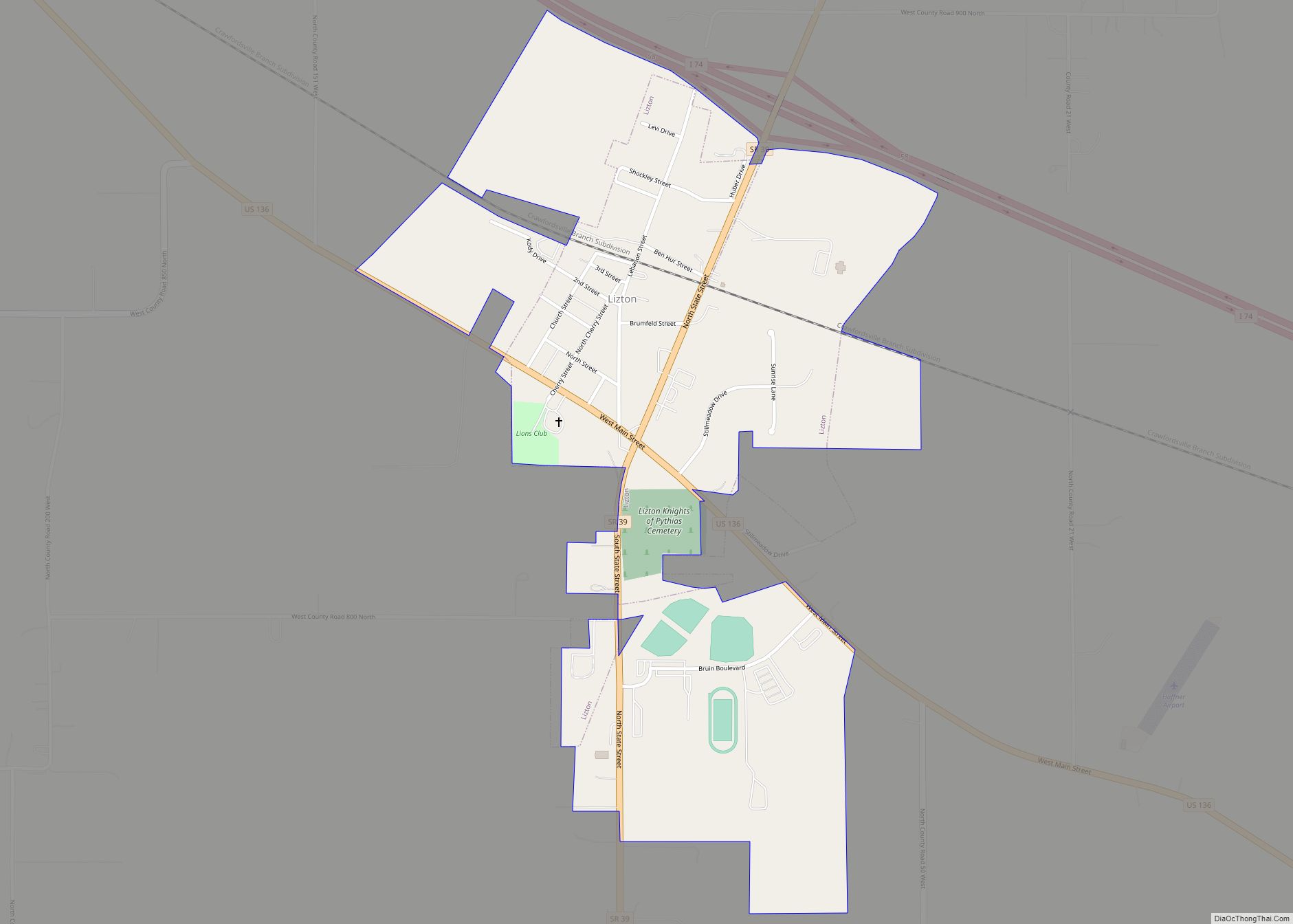
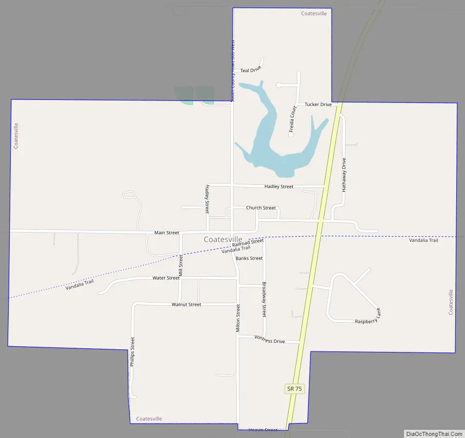
Coatesville Road Map
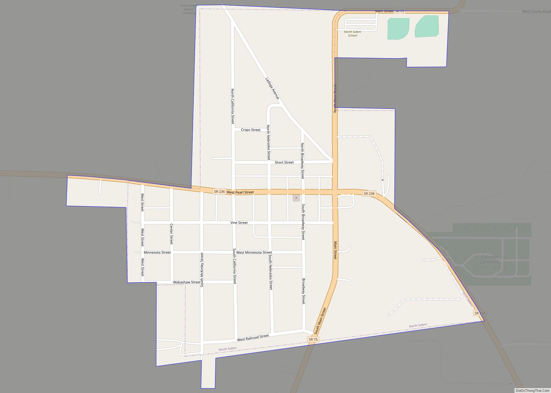
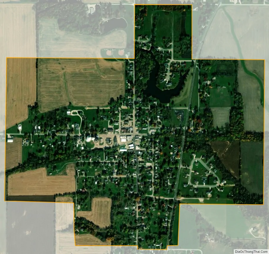
Coatesville city Satellite Map
Geography
Coatesville is located at 39°41′15″N 86°40′9″W / 39.68750°N 86.66917°W / 39.68750; -86.66917 (39.687378, -86.669246).
According to the 2010 census, Coatesville has a total area of 0.66 square miles (1.71 km), of which 0.65 square miles (1.68 km) (or 98.48%) is land and 0.01 square miles (0.03 km) (or 1.52%) is water.
See also
Map of Indiana State and its subdivision:- Adams
- Allen
- Bartholomew
- Benton
- Blackford
- Boone
- Brown
- Carroll
- Cass
- Clark
- Clay
- Clinton
- Crawford
- Daviess
- De Kalb
- Dearborn
- Decatur
- Delaware
- Dubois
- Elkhart
- Fayette
- Floyd
- Fountain
- Franklin
- Fulton
- Gibson
- Grant
- Greene
- Hamilton
- Hancock
- Harrison
- Hendricks
- Henry
- Howard
- Huntington
- Jackson
- Jasper
- Jay
- Jefferson
- Jennings
- Johnson
- Knox
- Kosciusko
- LaGrange
- Lake
- Lake Michigan
- LaPorte
- Lawrence
- Madison
- Marion
- Marshall
- Martin
- Miami
- Monroe
- Montgomery
- Morgan
- Newton
- Noble
- Ohio
- Orange
- Owen
- Parke
- Perry
- Pike
- Porter
- Posey
- Pulaski
- Putnam
- Randolph
- Ripley
- Rush
- Saint Joseph
- Scott
- Shelby
- Spencer
- Starke
- Steuben
- Sullivan
- Switzerland
- Tippecanoe
- Tipton
- Union
- Vanderburgh
- Vermillion
- Vigo
- Wabash
- Warren
- Warrick
- Washington
- Wayne
- Wells
- White
- Whitley
- Alabama
- Alaska
- Arizona
- Arkansas
- California
- Colorado
- Connecticut
- Delaware
- District of Columbia
- Florida
- Georgia
- Hawaii
- Idaho
- Illinois
- Indiana
- Iowa
- Kansas
- Kentucky
- Louisiana
- Maine
- Maryland
- Massachusetts
- Michigan
- Minnesota
- Mississippi
- Missouri
- Montana
- Nebraska
- Nevada
- New Hampshire
- New Jersey
- New Mexico
- New York
- North Carolina
- North Dakota
- Ohio
- Oklahoma
- Oregon
- Pennsylvania
- Rhode Island
- South Carolina
- South Dakota
- Tennessee
- Texas
- Utah
- Vermont
- Virginia
- Washington
- West Virginia
- Wisconsin
- Wyoming