Map of Slidell city
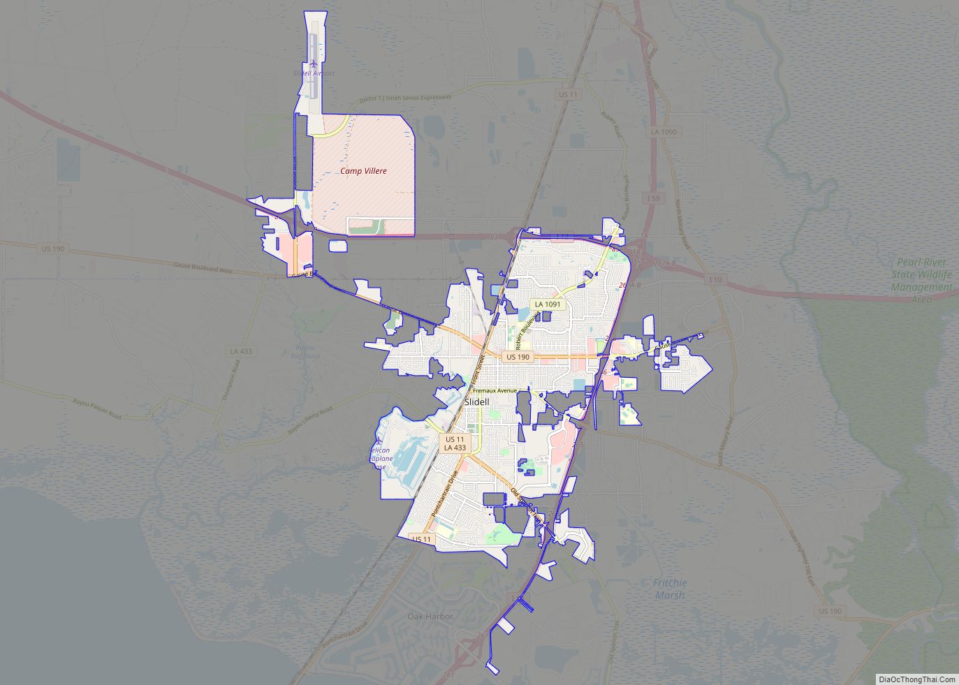
Slidell /slaɪˈdɛl/ is a city on the northeast shore of Lake Pontchartrain in St. Tammany Parish, Louisiana, United States. The population was 28,781 at the 2020 census. It is part of the New Orleans−Metairie−Kenner metropolitan statistical area. Slidell city overview: Name: Slidell city LSAD Code: 25 LSAD Description: city (suffix) State: Louisiana County: St. Tammany ... Read more
Map of Slidell city
Map of South Mansfield village
South Mansfield is a village in DeSoto Parish, Louisiana, United States. The population was 346 at the 2010 census. It is part of the Shreveport–Bossier City Metropolitan Statistical Area. South Mansfield village overview: Name: South Mansfield village LSAD Code: 47 LSAD Description: village (suffix) State: Louisiana County: De Soto Parish Elevation: 361 ft (110 m) Total Area: ... Read more
Map of South Mansfield village
Map of Spearsville village
Spearsville is a village in Union Parish, Louisiana, United States. The population was 137 at the 2010 census, a decrease from 155 in 2000. It is part of the Monroe Metropolitan Statistical Area. Spearsville village overview: Name: Spearsville village LSAD Code: 47 LSAD Description: village (suffix) State: Louisiana County: Union Parish Elevation: 190 ft (60 m) Total ... Read more
Map of Spearsville village
Map of South Vacherie CDP
South Vacherie is a census-designated place (CDP) in St. James Parish, Louisiana, United States. The population was 3,543 at the 2000 census. In French, the name defines a cattle range for grazing. South Vacherie CDP overview: Name: South Vacherie CDP LSAD Code: 57 LSAD Description: CDP (suffix) State: Louisiana County: St. James Parish Elevation: 0 ft ... Read more
Map of South Vacherie CDP
Map of Springhill city, Louisiana
Springhill is a city in northern Webster Parish, Louisiana, United States. The population was 5,279 at the 2010 census, a decrease of 160 since 2000. Springhill is part of the Minden Micropolitan Statistical Area though it is thirty miles north of Minden, the seat of government of Webster Parish. The Springhill population is 34 percent ... Read more
Map of Springhill city, Louisiana
Map of Springfield town, Louisiana
Springfield is a town in Livingston Parish, Louisiana, United States. The population was 487 at the 2010 census. It is part of the Baton Rouge metropolitan statistical area. Springfield town overview: Name: Springfield town LSAD Code: 43 LSAD Description: town (suffix) State: Louisiana County: Livingston Parish Elevation: 16 ft (5 m) Total Area: 1.41 sq mi (3.64 km²) Land Area: ... Read more
Map of Springfield town, Louisiana
Map of Spokane CDP, Louisiana
Spokane is an unincorporated community and census-designated place (CDP) in Concordia Parish, Louisiana, United States. As of the 2010 census it had a population of 442. It is located in northeastern Concordia Parish on the southwest side of Lake St. John, an oxbow lake that is a former channel of the Mississippi River. Louisiana State ... Read more
Map of Spokane CDP, Louisiana
Map of St. James CDP, Louisiana
St. James is a census-designated place in St. James Parish, Louisiana, United States on the west bank of the Mississippi River. It is part of the New Orleans Metropolitan Area . Its population was 828 as of the 2010 census. St. James CDP overview: Name: St. James CDP LSAD Code: 57 LSAD Description: CDP (suffix) ... Read more
Map of St. James CDP, Louisiana
Map of St. Gabriel city
St. Gabriel is a city in Iberville Parish, Louisiana, United States. The city of St. Gabriel includes the areas of Sunshine and Carville. Part of the Baton Rouge metropolitan statistical area, it had a population of 6,677 at the 2010 U.S. census, and 6,433 at the 2020 census. St. Gabriel was incorporated as a town ... Read more
Map of St. Gabriel city
Map of St. Francisville town, Louisiana
St. Francisville is a town in and the parish seat of, West Feliciana Parish, Louisiana, United States. The population was 1,765 at the 2010 U.S. census, and 1,589 at the 2020 population estimates program. It is part of the Baton Rouge metropolitan statistical area. St. Francisville town overview: Name: St. Francisville town LSAD Code: 43 ... Read more
Map of St. Francisville town, Louisiana
Map of St. Maurice CDP
Saint Maurice is a majority black census-designated place and unincorporated community in Winn Parish, Louisiana. United States. Its population was 323 as of the 2010 census. Its ZIP code is 71471. St. Maurice CDP overview: Name: St. Maurice CDP LSAD Code: 57 LSAD Description: CDP (suffix) State: Louisiana County: Winn Parish Elevation: 164 ft (50 m) Total ... Read more
Map of St. Maurice CDP
Map of St. Martinville city
St. Martinville (French: Saint-Martin) is a city in and the parish seat of St. Martin Parish, Louisiana, United States. It lies on Bayou Teche, 13 miles (21 km) south of Breaux Bridge, 16 miles (26 km) southeast of Lafayette, and 9 miles (14 km) north of New Iberia. The population was 6,114 at the 2010 U.S. census, and ... Read more
Map of St. Martinville city