Springfield is a town in Livingston Parish, Louisiana, United States. The population was 487 at the 2010 census. It is part of the Baton Rouge metropolitan statistical area.
| Name: | Springfield town |
|---|---|
| LSAD Code: | 43 |
| LSAD Description: | town (suffix) |
| State: | Louisiana |
| County: | Livingston Parish |
| Elevation: | 16 ft (5 m) |
| Total Area: | 1.41 sq mi (3.64 km²) |
| Land Area: | 1.41 sq mi (3.64 km²) |
| Water Area: | 0.00 sq mi (0.00 km²) |
| Total Population: | 427 |
| Population Density: | 303.91/sq mi (117.36/km²) |
| Area code: | 225 |
| FIPS code: | 2272415 |
| Website: | townofspringfield.org |
Online Interactive Map
Click on ![]() to view map in "full screen" mode.
to view map in "full screen" mode.
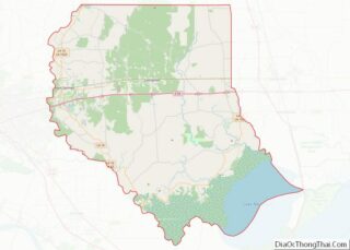
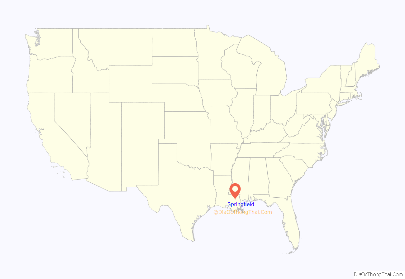
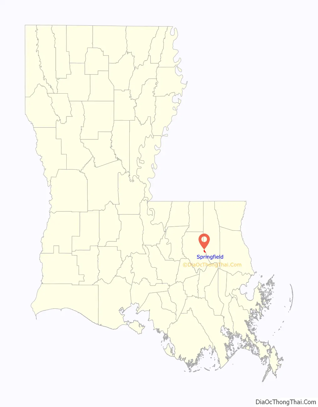
Springfield location map. Where is Springfield town?
History
Springfield began in the 18th century at one of the northernmost points considered to be navigable on the Natalbany River. Between Springfield and Lake Maurepas, Ponchatoula Creek joins the Natalbany and increases its flow. The town was also connected to the Natchez Trace.
Via the Natalbany, Lake Maurepas, Lake Pontchartrain, and Bayou Saint John, Springfield had access to New Orleans by water. Similarly, at the time (prior to the damming of the channel by levees) along the Amite River and Mississippi River, Bayou Manchac provided shallow-water access between Springfield and Baton Rouge. By 1810 Springfield was one of the areas of interest in the rebellion against Spain, which produced the short-lived Republic of West Florida. Bricks from an old Spanish fort can still be found, roughly 200 yards in front of today’s post office. At this time the area was part of St. Helena Parish, with Livingston Parish created in 1832 from the southern portion of St. Helena.
Springfield served as the Livingston parish seat from 1835 to 1872. The town was incorporated in 1838. A post office was listed in Springfield, Livingston County (Parish), on October 1, 1846, with Jacob P. Randolph as the postmaster.
In the early part of the 19th century, Peter av Hammerdal (Peter Hammond), eponym of Hammond, Louisiana, came to do business of transporting lumber and other products for ocean-going ships in New Orleans, via the rivers and lakes south of Springfield.
The Springfield city fathers, fearing a lawless element, declined to allow a railway track to be laid from New Orleans through Springfield and then north. (This decision gave birth to Ponchatoula, Hammond, Amite, and other towns.) The 1854 completion of the New Orleans, Jackson & Great Northern Railroad (now the Canadian National Railway)—which went through Hammond, Ponchatoula, and Manchac—bypassed Springfield and deprived it of a logistical role.
When Tangipahoa Parish was formed partly from Livingston Parish in 1868, Springfield was no longer a central location in Livingston Parish. It sat along the new boundary between Livingston and Tangipahoa Parishes. Today’s seat of government for Livingston Parish is the city of Livingston.
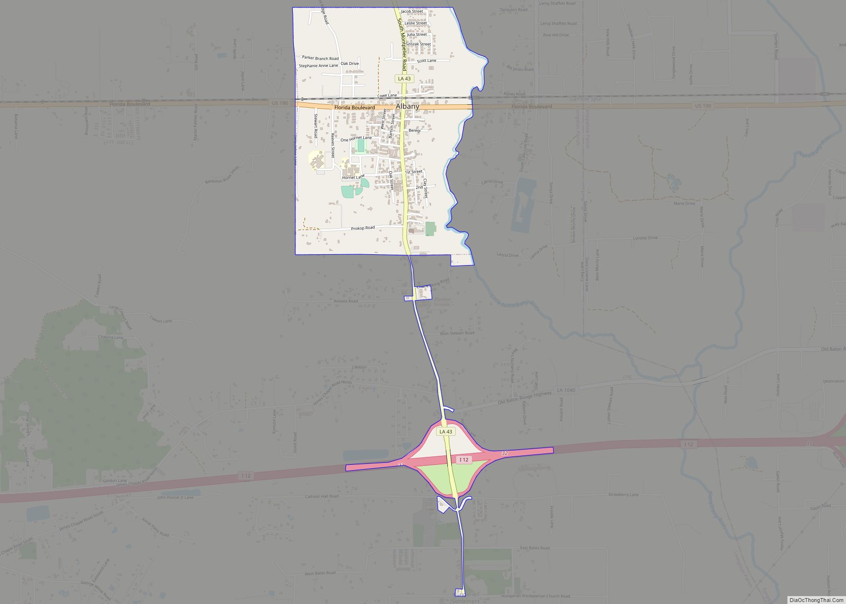
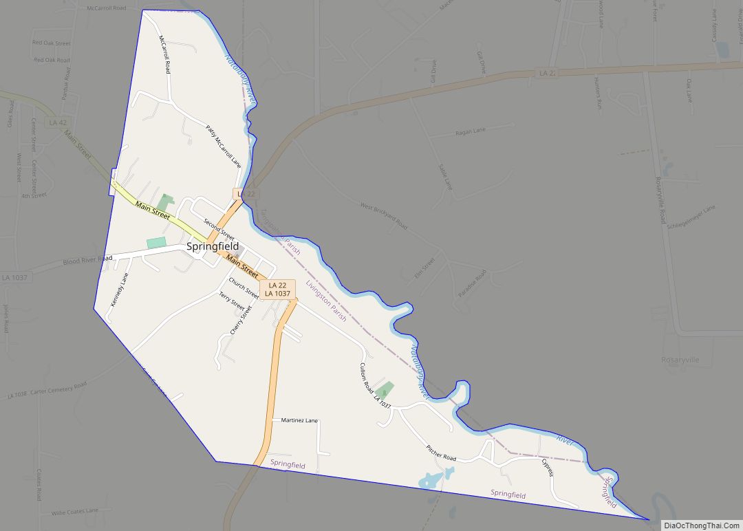
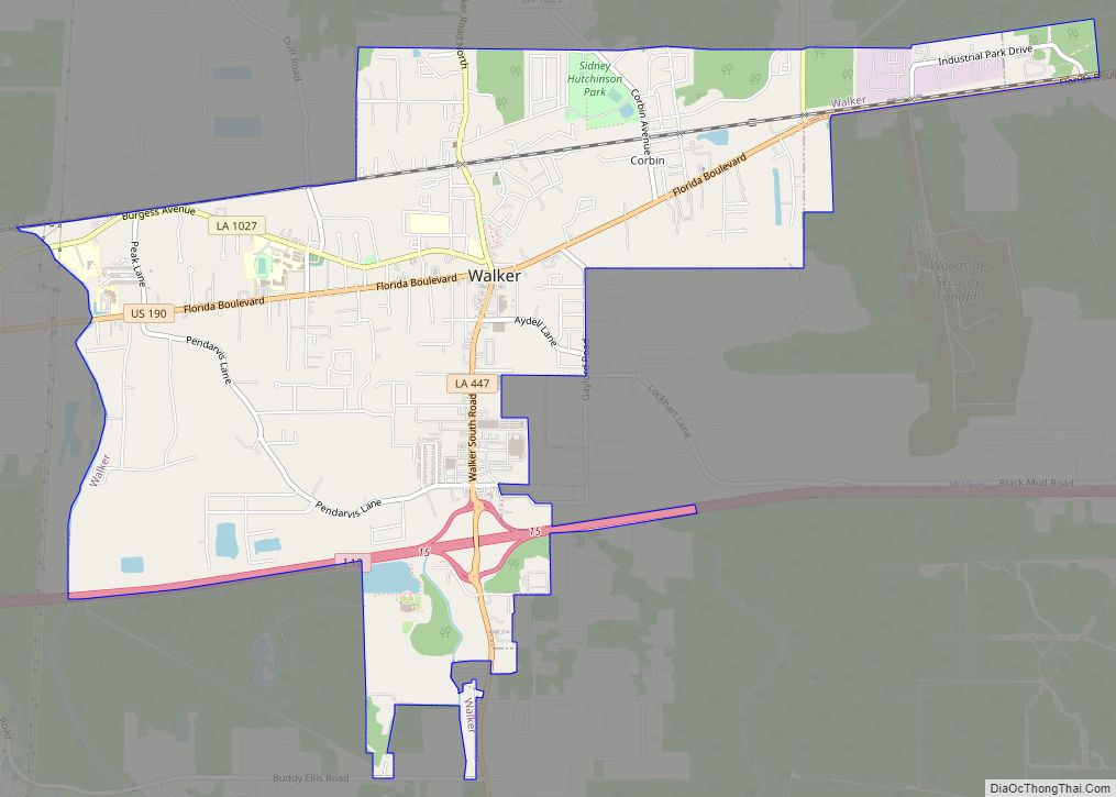
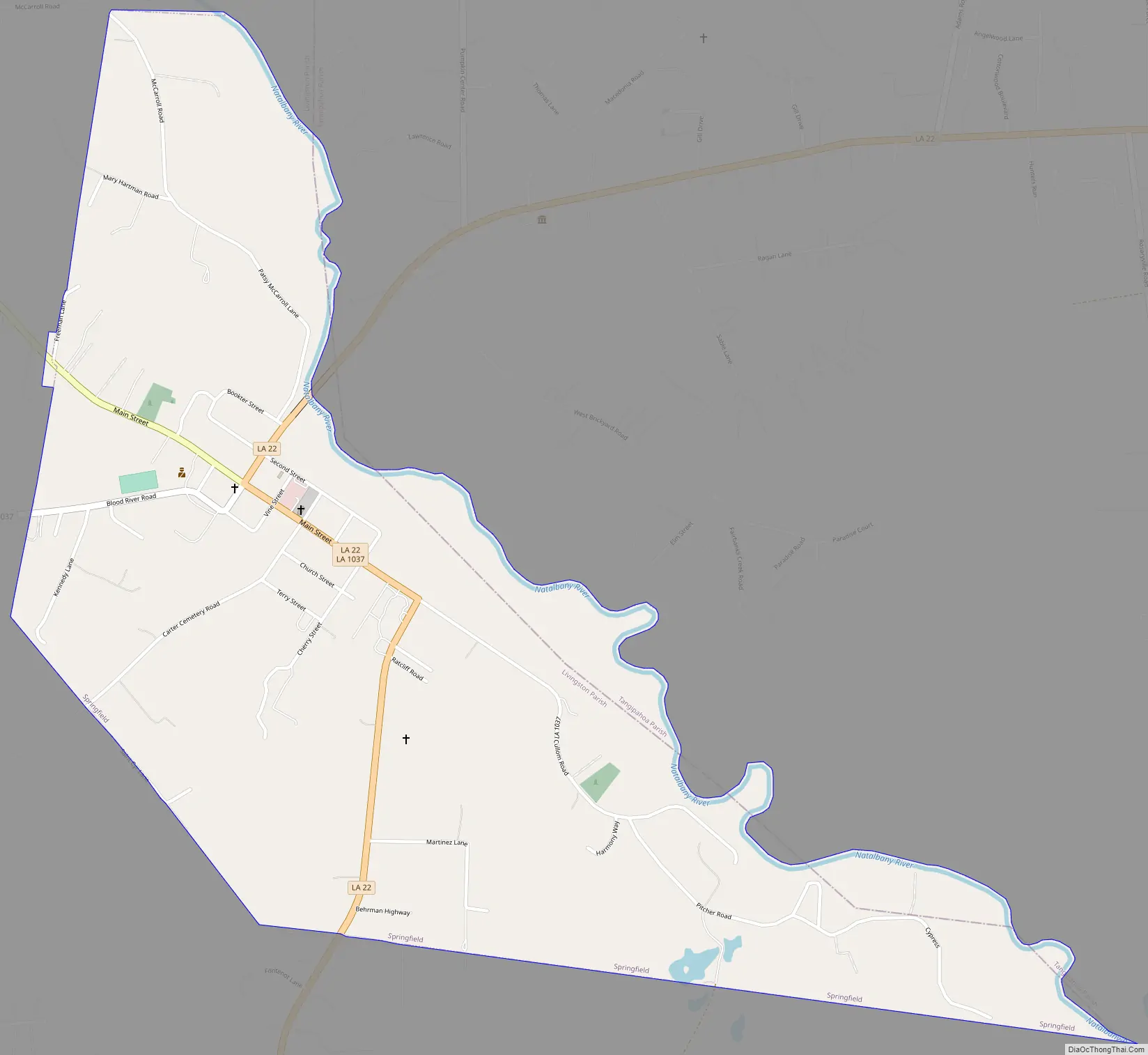
Springfield Road Map
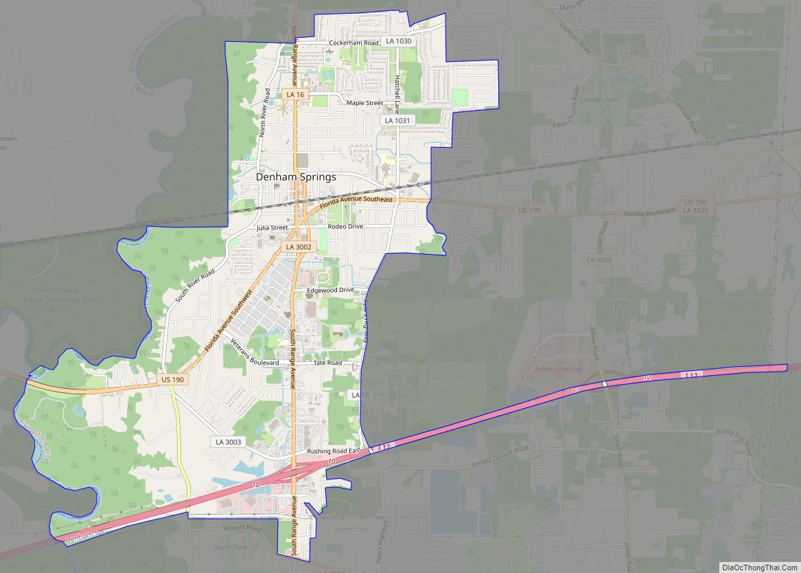
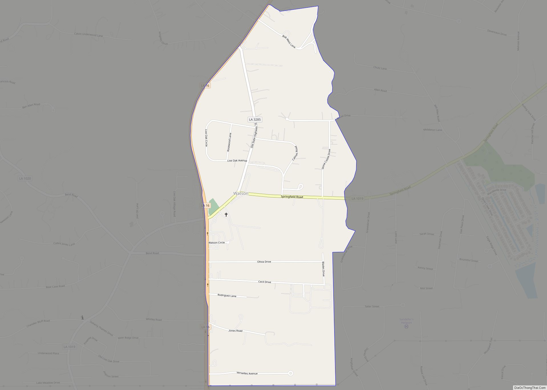
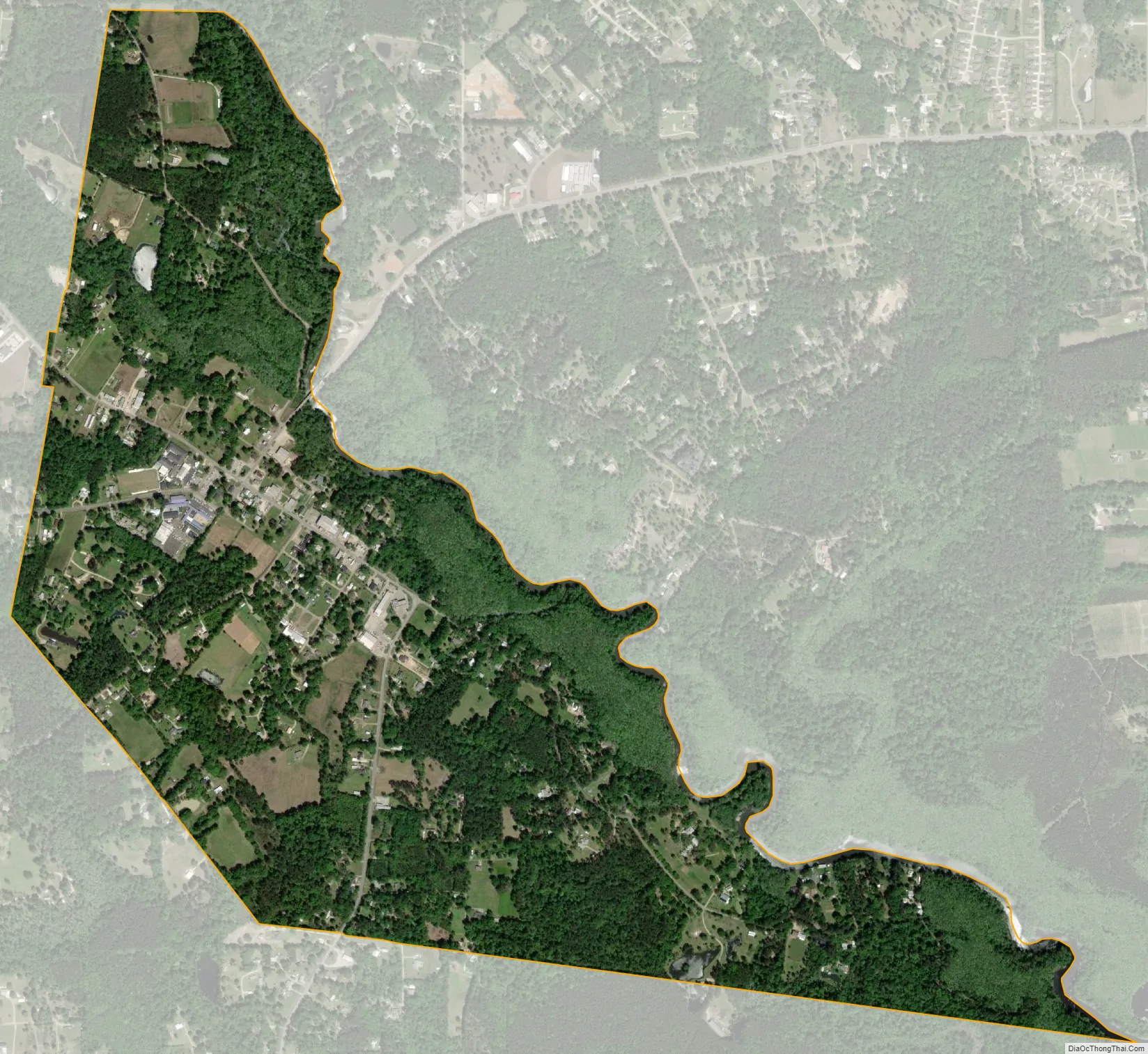
Springfield city Satellite Map
Geography
Springfield is located at 30°25′45″N 90°32′53″W / 30.42917°N 90.54806°W / 30.42917; -90.54806 (30.429173, -90.548065).
According to the United States Census Bureau, the town has a total area of 1.4 square miles (3.6 km), all land.
The town’s name is derived from the numerous artesian springs in the area.
The ZIP Code of Springfield is 70462.
See also
Map of Louisiana State and its subdivision:- Acadia
- Allen
- Ascension
- Assumption
- Avoyelles
- Beauregard
- Bienville
- Bossier
- Caddo
- Calcasieu
- Caldwell
- Cameron
- Catahoula
- Claiborne
- Concordia
- De Soto
- East Baton Rouge
- East Carroll
- East Feliciana
- Evangeline
- Franklin
- Grant
- Iberia
- Iberville
- Jackson
- Jefferson
- Jefferson Davis
- La Salle
- Lafayette
- Lafourche
- Lincoln
- Livingston
- Madison
- Morehouse
- Natchitoches
- Orleans
- Ouachita
- Plaquemines
- Pointe Coupee
- Rapides
- Red River
- Richland
- Sabine
- Saint Bernard
- Saint Charles
- Saint Helena
- Saint James
- Saint John the Baptist
- Saint Landry
- Saint Martin
- Saint Mary
- Saint Tammany
- Tangipahoa
- Tensas
- Terrebonne
- Union
- Vermilion
- Vernon
- Washington
- Webster
- West Baton Rouge
- West Carroll
- West Feliciana
- Winn
- Alabama
- Alaska
- Arizona
- Arkansas
- California
- Colorado
- Connecticut
- Delaware
- District of Columbia
- Florida
- Georgia
- Hawaii
- Idaho
- Illinois
- Indiana
- Iowa
- Kansas
- Kentucky
- Louisiana
- Maine
- Maryland
- Massachusetts
- Michigan
- Minnesota
- Mississippi
- Missouri
- Montana
- Nebraska
- Nevada
- New Hampshire
- New Jersey
- New Mexico
- New York
- North Carolina
- North Dakota
- Ohio
- Oklahoma
- Oregon
- Pennsylvania
- Rhode Island
- South Carolina
- South Dakota
- Tennessee
- Texas
- Utah
- Vermont
- Virginia
- Washington
- West Virginia
- Wisconsin
- Wyoming