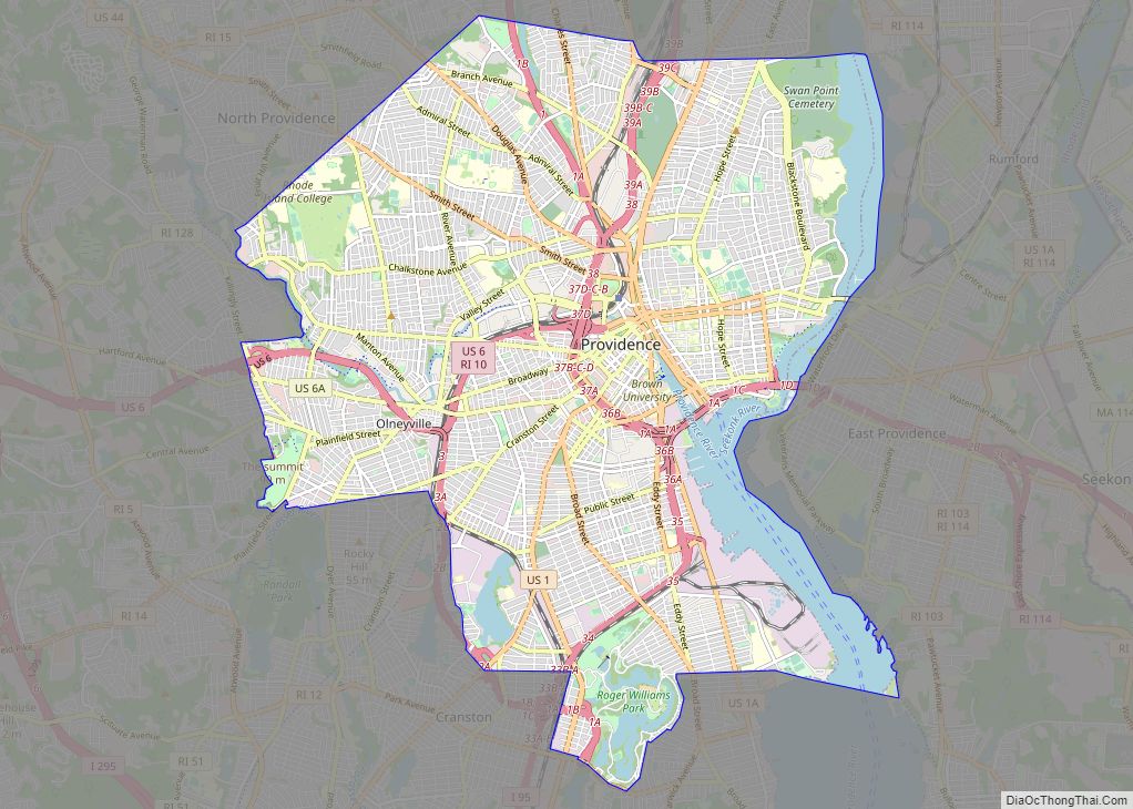
Providence is the capital and most populous city of the U.S. state of Rhode Island. Located near the Massachusetts state line, it is the county seat of Providence County, the most populous county in the state. One of the oldest cities in New England, it was founded in 1636 by Roger Williams, a Reformed Baptist ... Read more
Rhode Island Cities and Places
Newport is a seaside city on Aquidneck Island in Newport, Rhode Island, United States. It is located in Narragansett Bay, approximately 33 miles (53 km) southeast of Providence, 20 miles (32 km) south of Fall River, Massachusetts, 74 miles (119 km) south of Boston, and 180 miles (290 km) northeast of New York City. It is known as a ... Read more
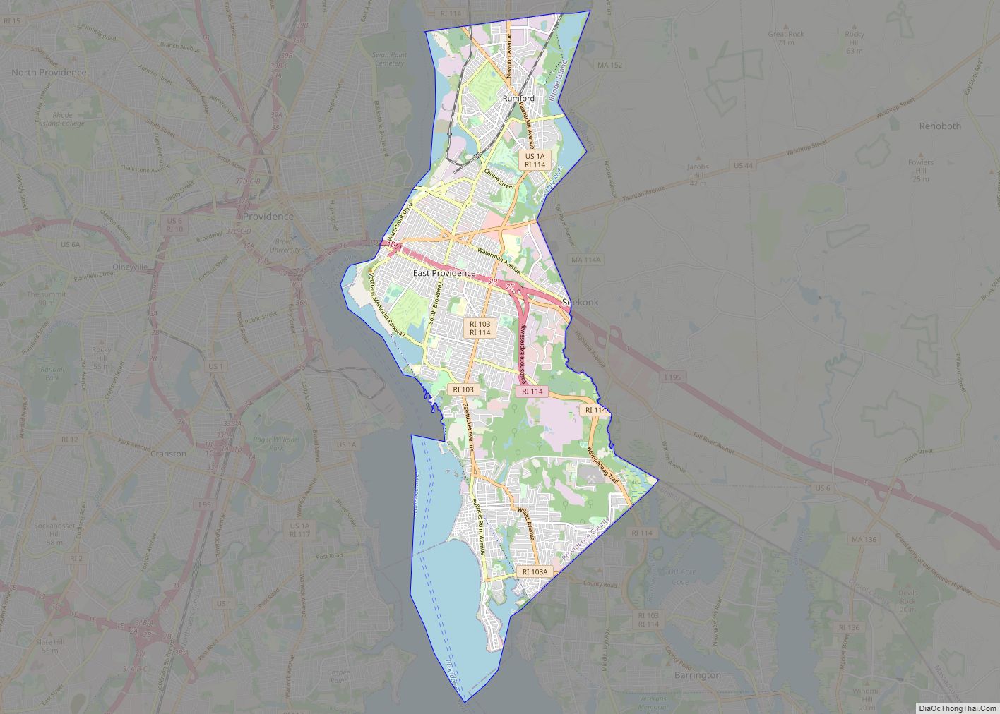
East Providence is a city in Providence County, Rhode Island, United States. The population was 47,139 at the 2020 census, making it the fifth-largest city in the state. East Providence city overview: Name: East Providence city LSAD Code: 25 LSAD Description: city (suffix) State: Rhode Island County: Providence County Elevation: 62 ft (19 m) Total Area: 16.61 sq mi ... Read more
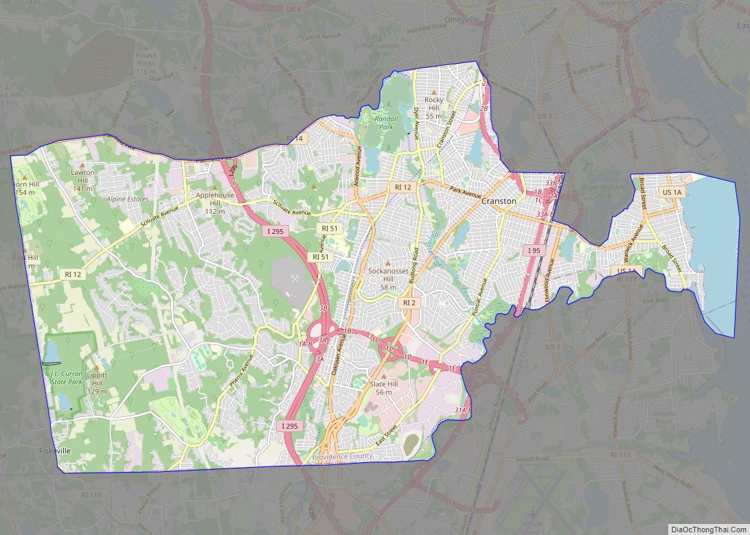
Cranston, once known as Pawtuxet, is a city in Providence County, Rhode Island, United States. The official population of the city in the 2020 United States Census was 82,934, making it the second largest in the state. The center of population of Rhode Island is located in Cranston. Cranston is a part of the Providence ... Read more
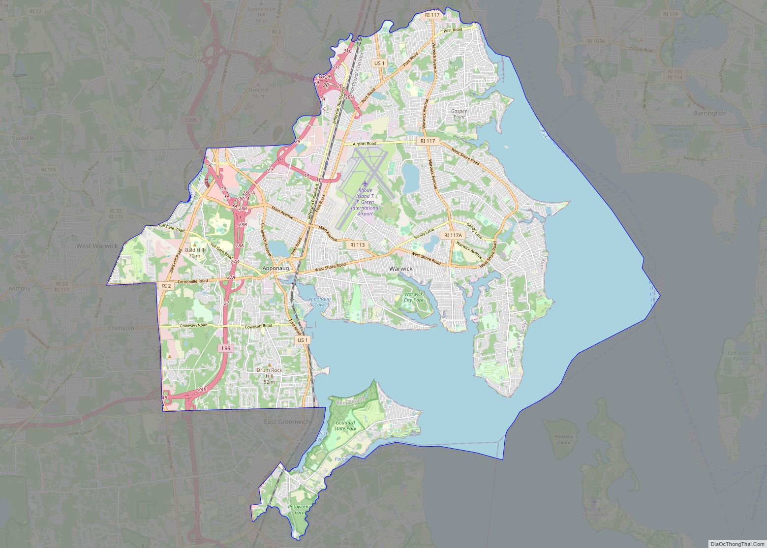
Warwick (/ˈwɔːrwɪk/ WOR-wik or /ˈwɒrɪk/ WORR-ik) is a city in Kent County, Rhode Island, the third largest city in the state with a population of 82,823 at the 2020 census. It is located approximately 12 miles (19 km) south of downtown Providence, Rhode Island, 63 miles (101 km) southwest of Boston, Massachusetts, and 171 miles (275 km) northeast ... Read more
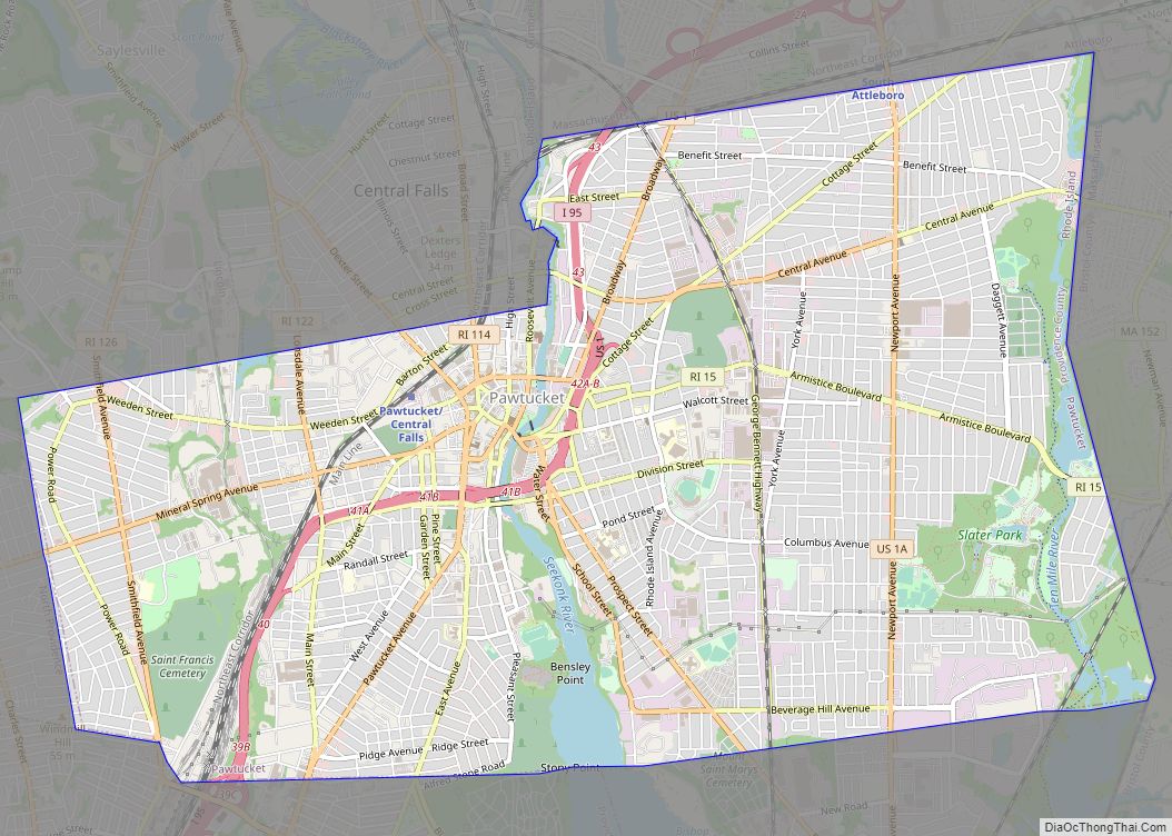
Pawtucket (/pəˈtʌkɪt/ (listen) pə-TUK-it) is a city in Providence County, Rhode Island. The population was 75,604 at the 2020 census, making the city the fourth-largest in the state. Pawtucket borders Providence and East Providence to the south, Central Falls and Lincoln to the north, and North Providence to the west. The city also borders the ... Read more
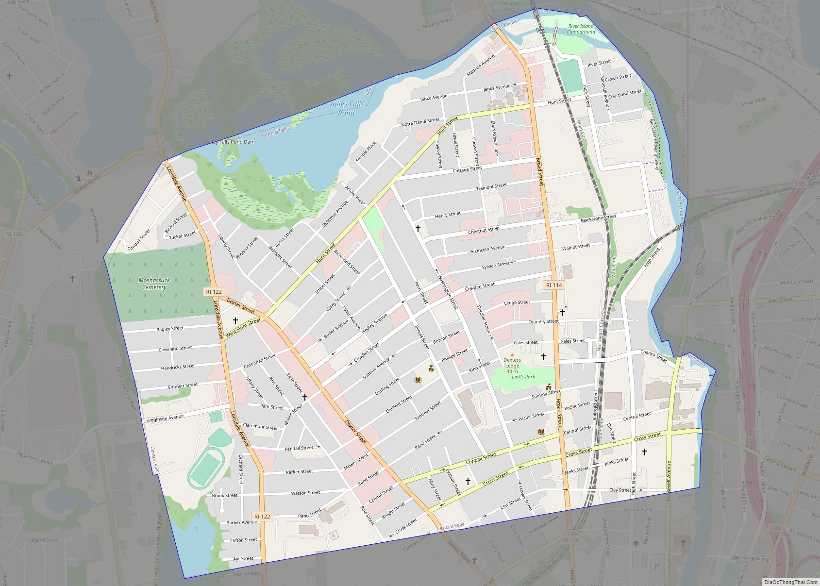
Central Falls is a city in Providence County, Rhode Island, United States. The population was 22,583 at the 2020 census. With an area of only 1.29 square miles (3.3 km), it is the smallest and most densely populated city in the smallest state, and the 27th most densely populated incorporated place in the United States. It ... Read more
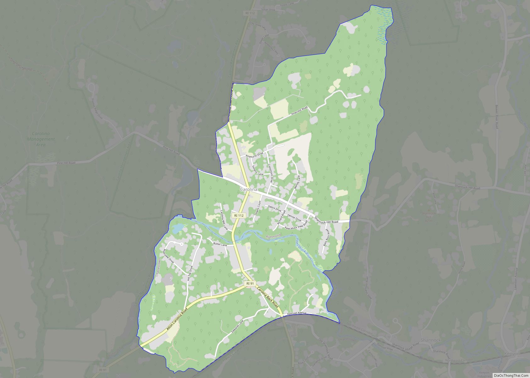
Carolina is a village that straddles the border of the towns of Charlestown and Richmond on the Pawcatuck River in Washington County, Rhode Island. Rhode Island Route 112 passes through the village. Carolina is identified as a census-designated place, with a population of 970 at the 2010 census. Carolina CDP overview: Name: Carolina CDP LSAD ... Read more
Bradford is a census-designated place (CDP) and historic district in the towns of Westerly and Hopkinton in Washington County, Rhode Island, United States. The population was 1,406 at the 2010 census. The Bradford Village Historic District was listed on the National Register of Historic Places in 1996 as a 224-acre (91 ha) area including 149 contributing ... Read more
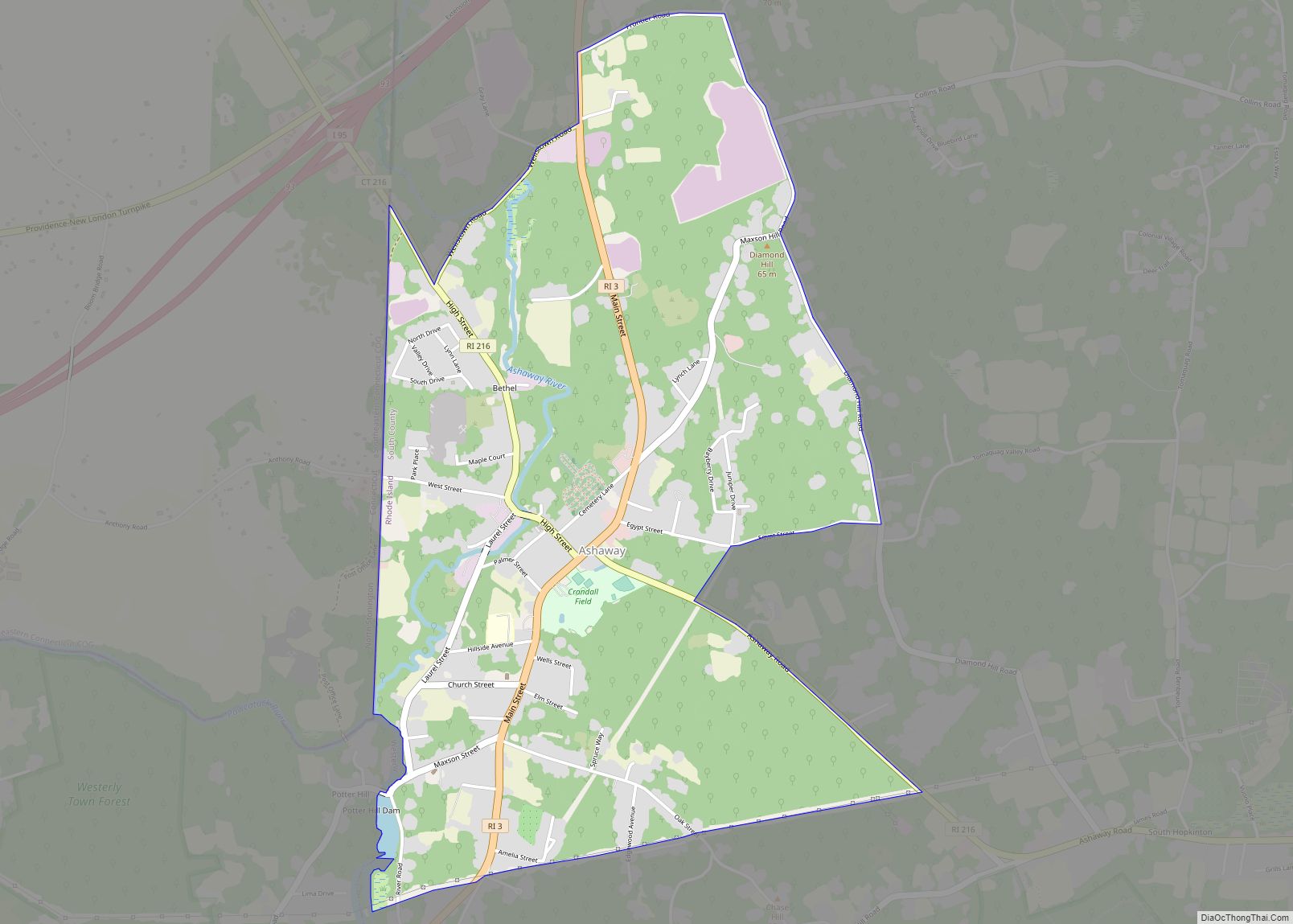
Ashaway (/ˈæʃəweɪ/) is an unincorporated village and census-designated place (CDP) in the town of Hopkinton, Rhode Island, USA. It is a principal village of Hopkinton, along with Hope Valley, although it is the smaller of the two. The population was 1,485 at the 2010 census. The name Ashaway is derived from the American Indian name ... Read more
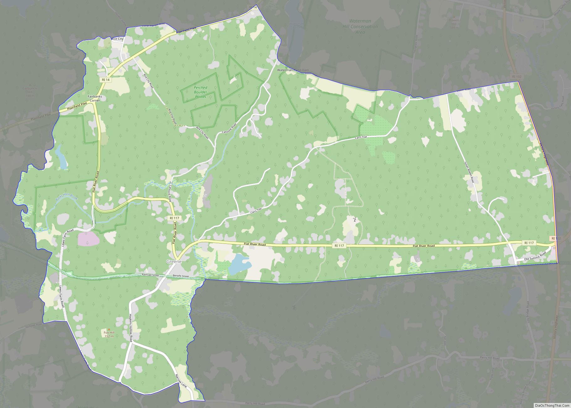
Greene is an unincorporated village and census-designated place in the western part of the town of Coventry, Rhode Island, United States. As of the 2010 census it had a population of 888. It is 2 miles (3 km) east of the Connecticut border and the same distance north of West Greenwich. The name derives from Nathanael ... Read more
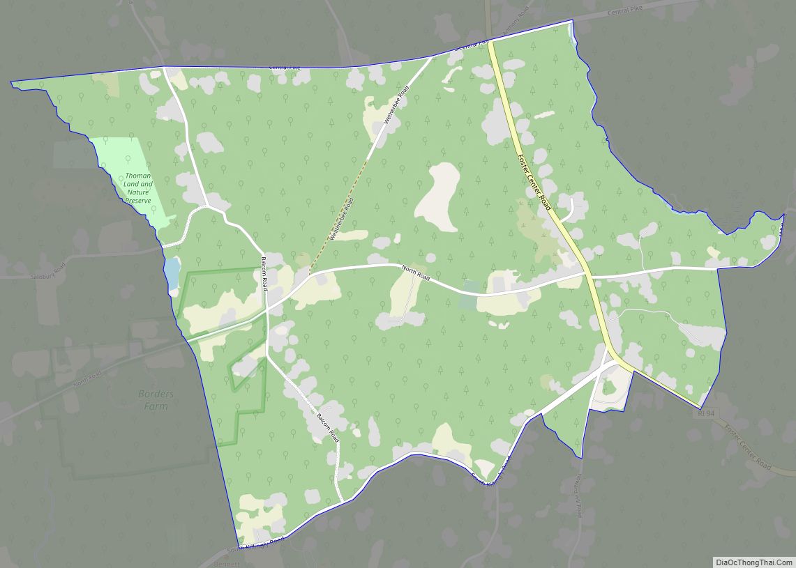
Foster Center is a village in the town of Foster, Rhode Island, United States. It was listed as a census-designated place (CDP) in 2010, with a population of 355. Historic elements of the village are included in the Foster Center Historic District, which was added to the National Register of Historic Places on May 11, ... Read more
