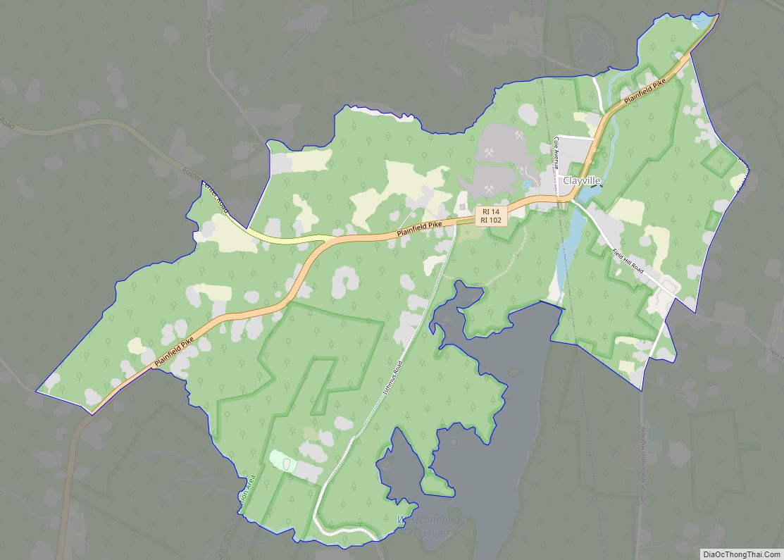
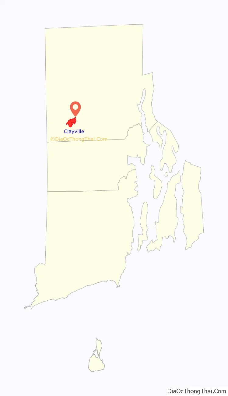
Clayville is a census-designated place mostly in the town of Foster and the remainder in Scituate in Providence County, Rhode Island, United States. As of the 2010 census, it had a population of 300. It is the location of the Clayville Historic District.
| Name: | Clayville CDP |
|---|---|
| LSAD Code: | 57 |
| LSAD Description: | CDP (suffix) |
| State: | Rhode Island |
| County: | Providence County |
| Elevation: | 446 ft (136 m) |
| Total Area: | 1.74 sq mi (4.52 km²) |
| Land Area: | 1.72 sq mi (4.47 km²) |
| Water Area: | 0.02 sq mi (0.05 km²) |
| Total Population: | 312 |
| Population Density: | 180.97/sq mi (69.87/km²) |
| ZIP code: | 02825 (Foster), 02815 (Scituate) |
| Area code: | 401 |
| FIPS code: | 4415940 |
| GNISfeature ID: | 1218580 |
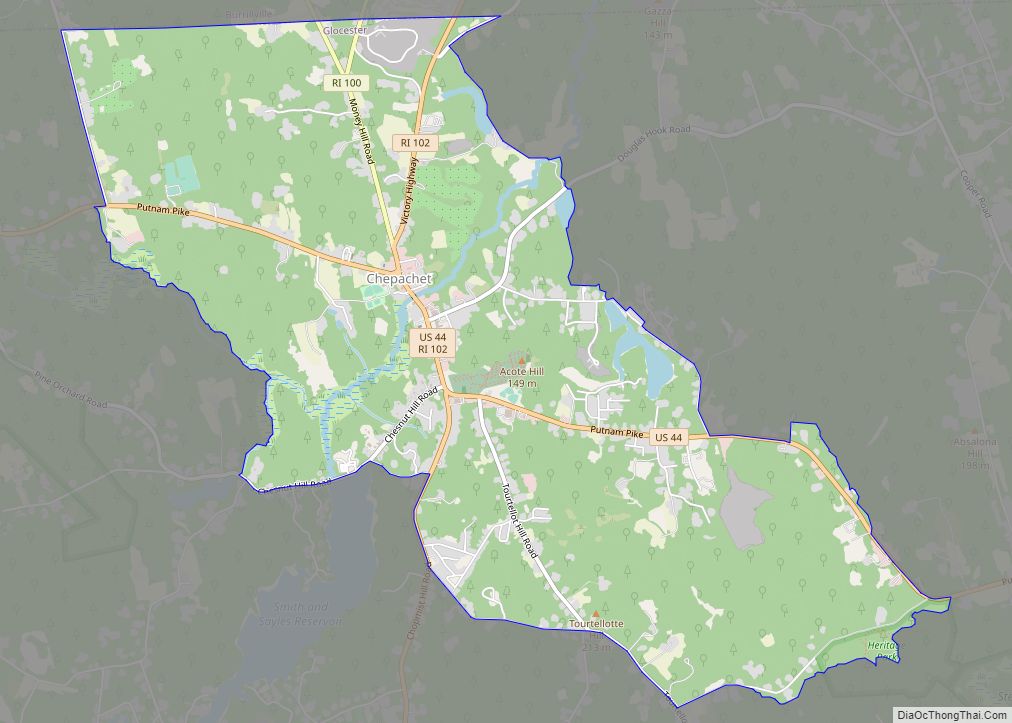
Online Interactive Map
Click on ![]() to view map in "full screen" mode.
to view map in "full screen" mode.
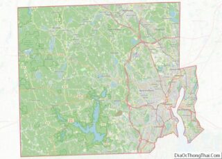
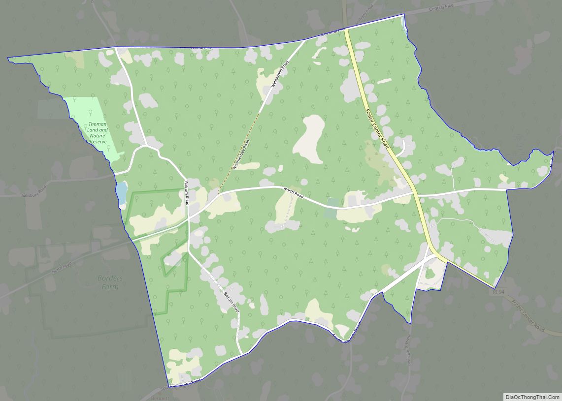
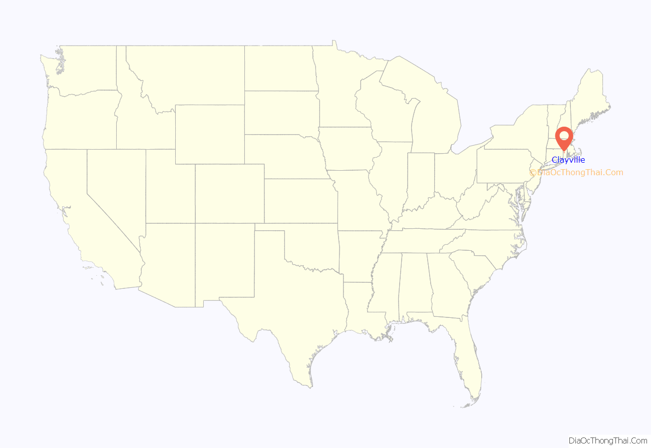
Clayville location map. Where is Clayville CDP?
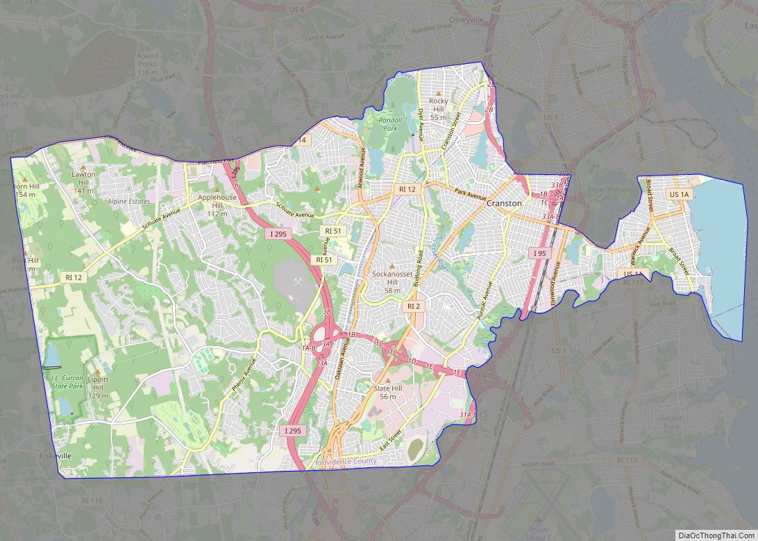
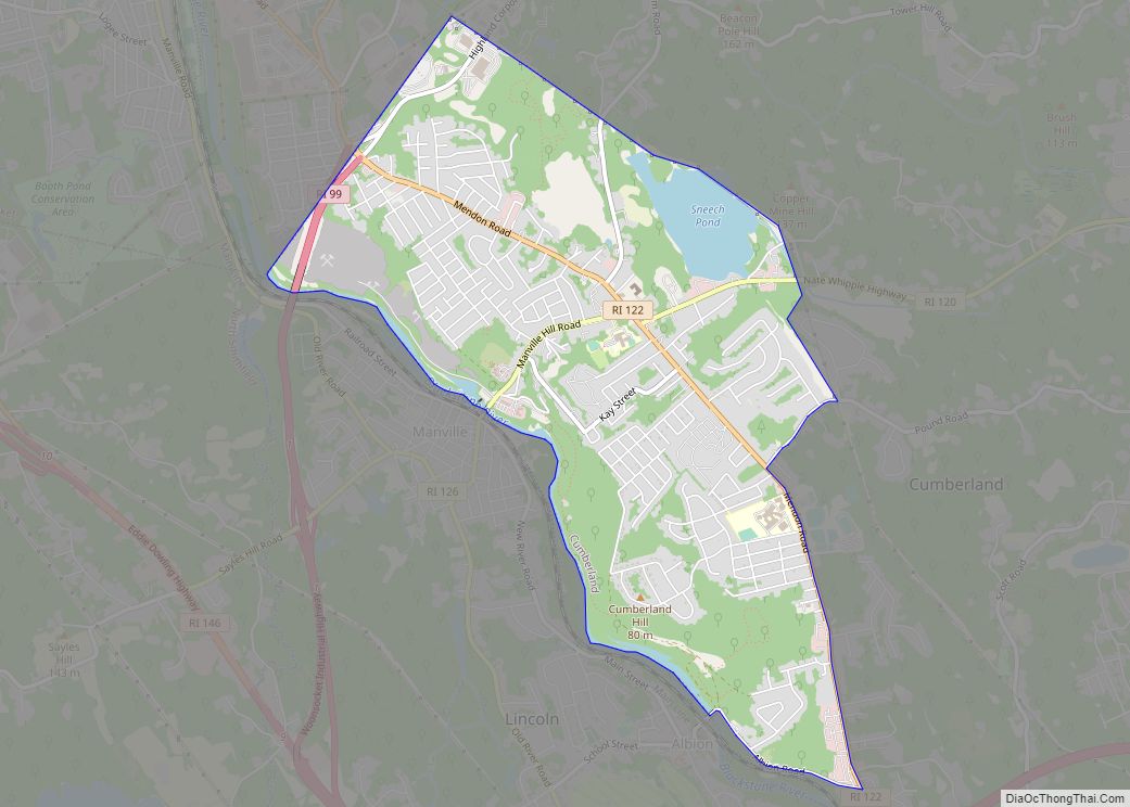
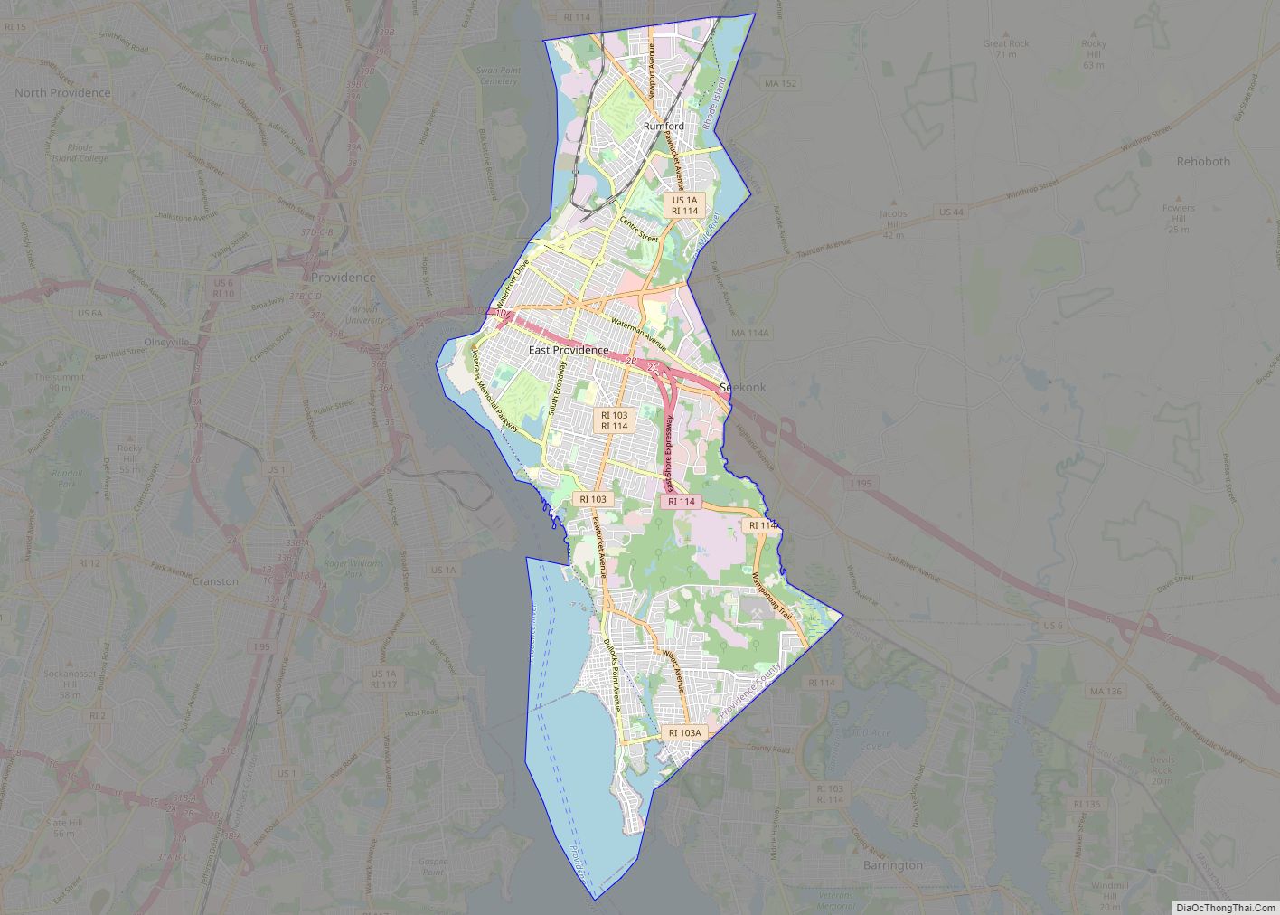
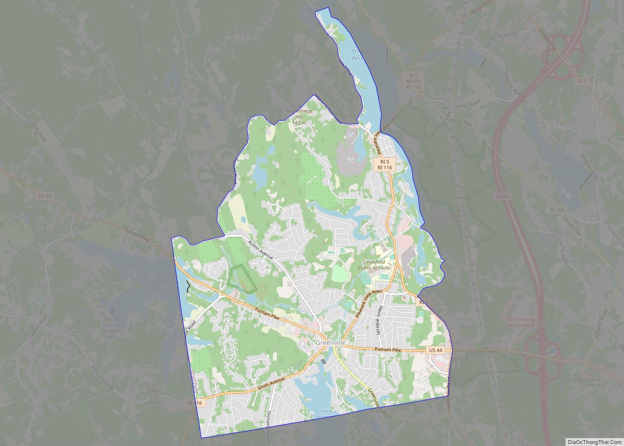
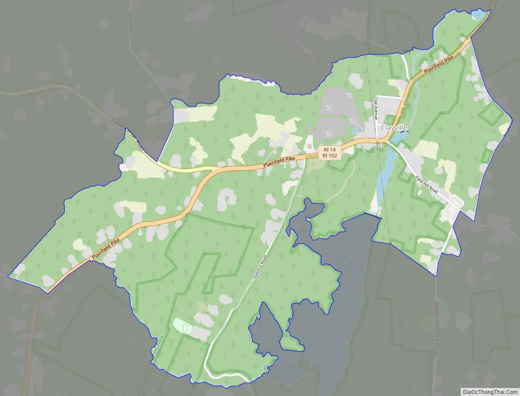
Clayville Road Map
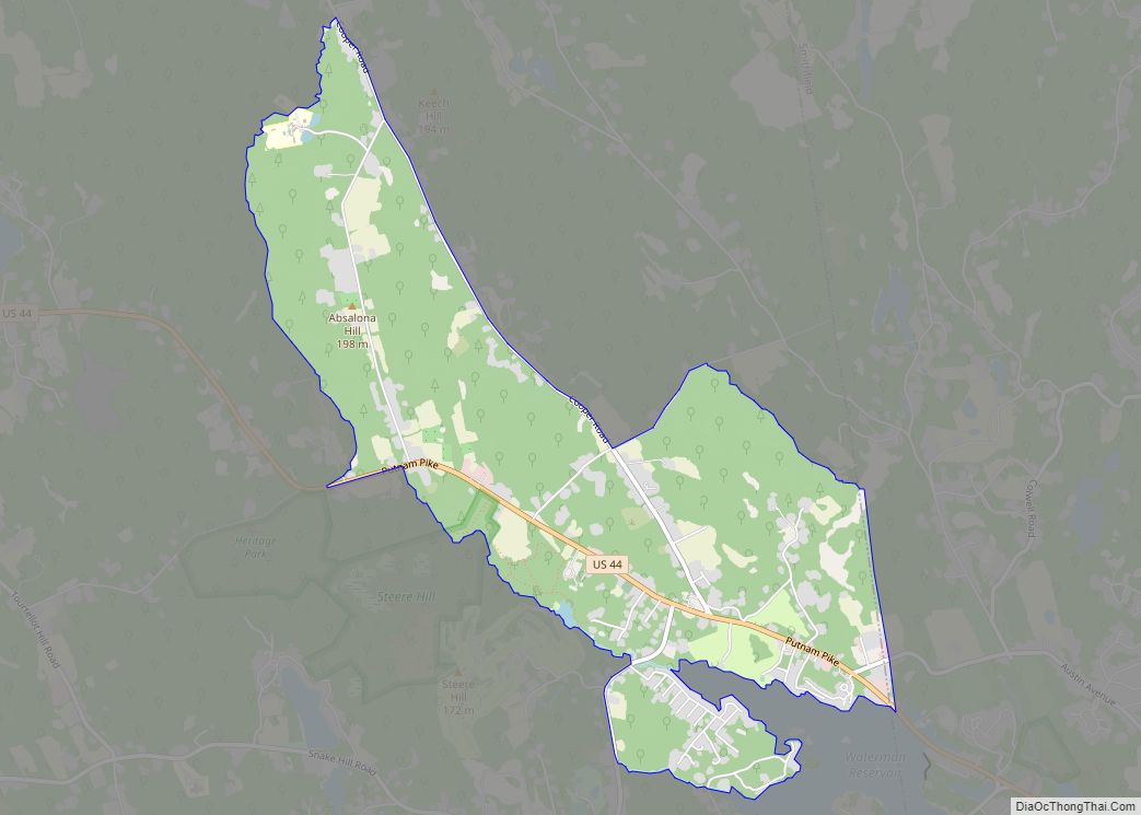
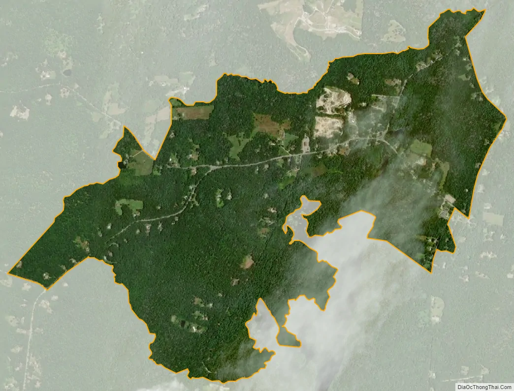
Clayville city Satellite Map
Geography
According to the U.S. Census Bureau, Clayville has a total area of 1.75 square miles (4.52 km), of which 1.73 square miles (4.47 km) is land and 0.019 square miles (0.05 km), or 1.10%, is water.
Clayville is located on Rhode Island Route 14 and 102. Route 14 leads east to Providence and west to Moosup, Connecticut, while Route 102 leads north to Woonsocket and south to Exeter, Rhode Island. Clayville is located near the Westconnaug Reservoir and the Westconnaug Meadows, a wooded area home to various hiking trails that is owned by the Scituate Land Trust.
See also
Map of Rhode Island State and its subdivision: Map of other states:- Alabama
- Alaska
- Arizona
- Arkansas
- California
- Colorado
- Connecticut
- Delaware
- District of Columbia
- Florida
- Georgia
- Hawaii
- Idaho
- Illinois
- Indiana
- Iowa
- Kansas
- Kentucky
- Louisiana
- Maine
- Maryland
- Massachusetts
- Michigan
- Minnesota
- Mississippi
- Missouri
- Montana
- Nebraska
- Nevada
- New Hampshire
- New Jersey
- New Mexico
- New York
- North Carolina
- North Dakota
- Ohio
- Oklahoma
- Oregon
- Pennsylvania
- Rhode Island
- South Carolina
- South Dakota
- Tennessee
- Texas
- Utah
- Vermont
- Virginia
- Washington
- West Virginia
- Wisconsin
- Wyoming