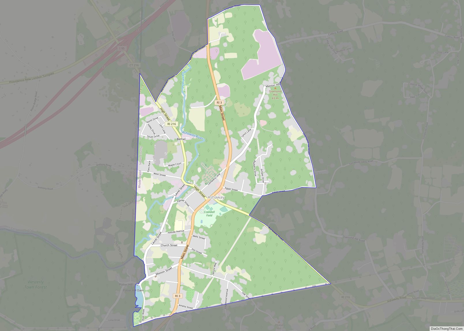
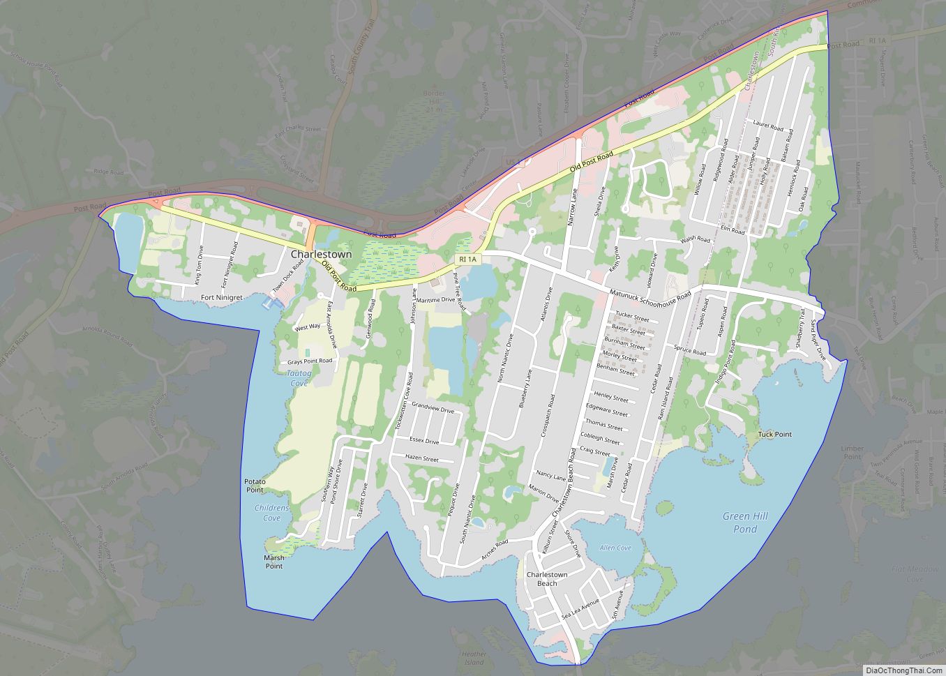
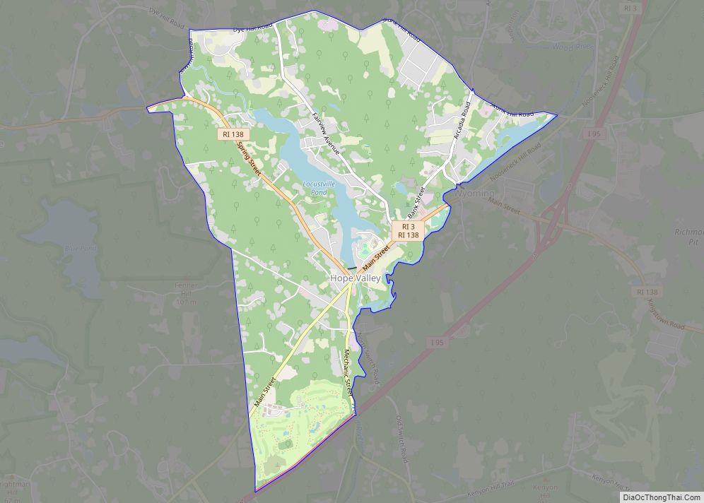
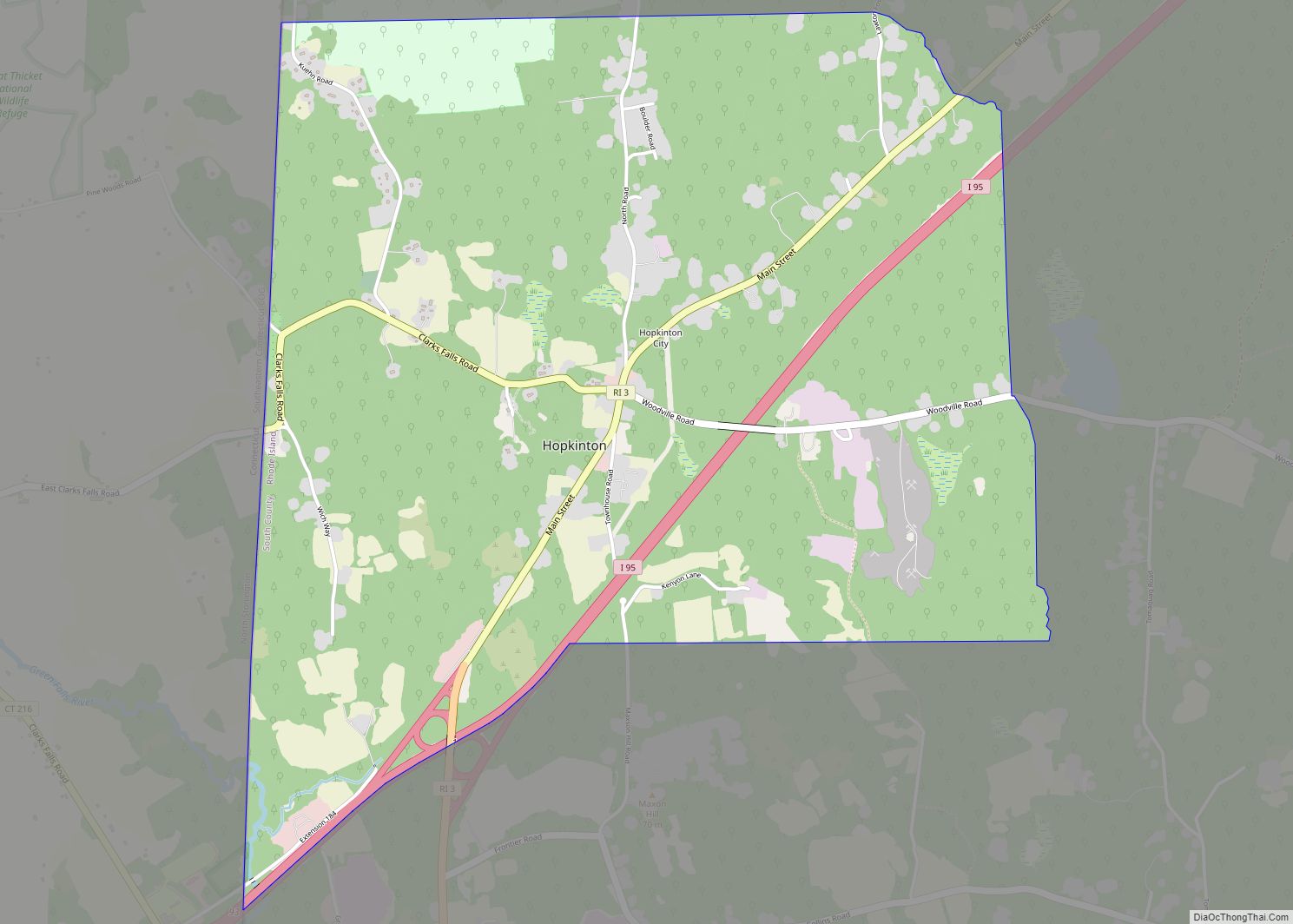
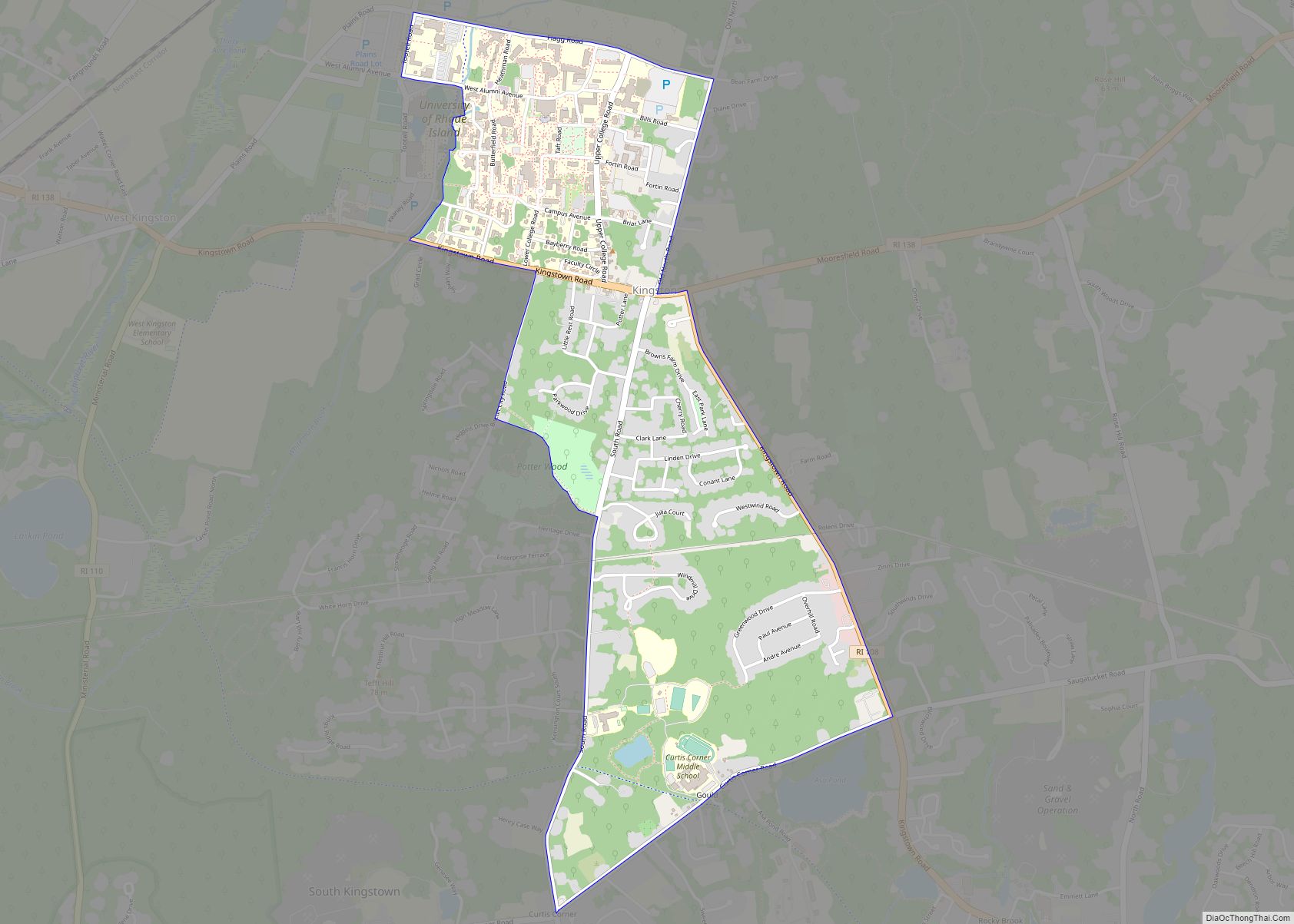
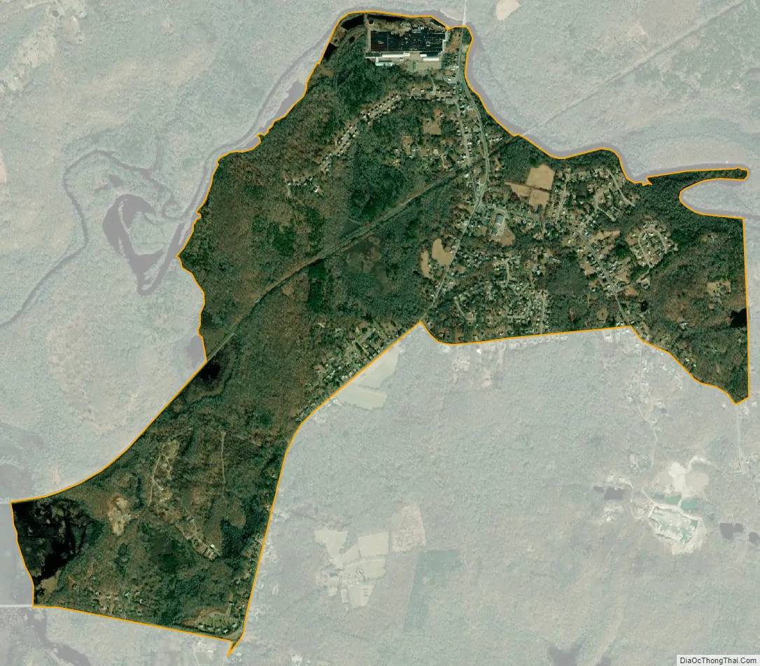
Bradford is a census-designated place (CDP) and historic district in the towns of Westerly and Hopkinton in Washington County, Rhode Island, United States. The population was 1,406 at the 2010 census. The Bradford Village Historic District was listed on the National Register of Historic Places in 1996 as a 224-acre (91 ha) area including 149 contributing buildings, one other contributing site, and one other contributing structure. The CDP as defined by the United States Census Bureau is located only in Westerly.
Bradford was named for Bradford, West Yorkshire, England.
| Name: | Bradford CDP |
|---|---|
| LSAD Code: | 57 |
| LSAD Description: | CDP (suffix) |
| State: | Rhode Island |
| County: | Washington County |
| Elevation: | 39 ft (12 m) |
| Total Area: | 1.83 sq mi (4.75 km²) |
| Land Area: | 1.82 sq mi (4.71 km²) |
| Water Area: | 0.01 sq mi (0.04 km²) |
| Total Population: | 1,457 |
| Population Density: | 801.87/sq mi (309.55/km²) |
| ZIP code: | 02808 |
| Area code: | 401 |
| FIPS code: | 4408020 |
| GNISfeature ID: | 1217668 |
Online Interactive Map
Click on ![]() to view map in "full screen" mode.
to view map in "full screen" mode.
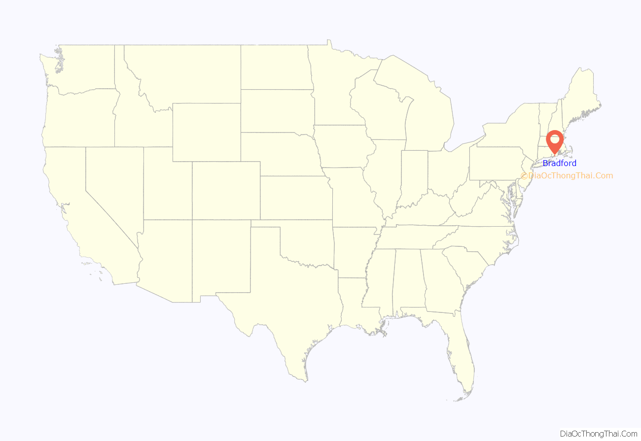
Bradford location map. Where is Bradford CDP?

Bradford Road Map

Bradford city Satellite Map
Geography
Bradford is located at 41°24′2″N 71°44′51″W / 41.40056°N 71.74750°W / 41.40056; -71.74750 (41.400657, -71.747607).
According to the United States Census Bureau, the village has a total area of 4.9 km (1.9 mi), all land.
See also
Map of Rhode Island State and its subdivision: Map of other states:- Alabama
- Alaska
- Arizona
- Arkansas
- California
- Colorado
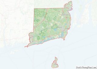
- Connecticut
- Delaware
- District of Columbia
- Florida
- Georgia
- Hawaii
- Idaho
- Illinois
- Indiana
- Iowa
- Kansas
- Kentucky
- Louisiana
- Maine
- Maryland
- Massachusetts
- Michigan
- Minnesota
- Mississippi
- Missouri
- Montana
- Nebraska
- Nevada
- New Hampshire
- New Jersey
- New Mexico
- New York
- North Carolina
- North Dakota
- Ohio
- Oklahoma
- Oregon
- Pennsylvania
- Rhode Island
- South Carolina
- South Dakota
- Tennessee
- Texas
- Utah
- Vermont
- Virginia
- Washington
- West Virginia
- Wisconsin
- Wyoming