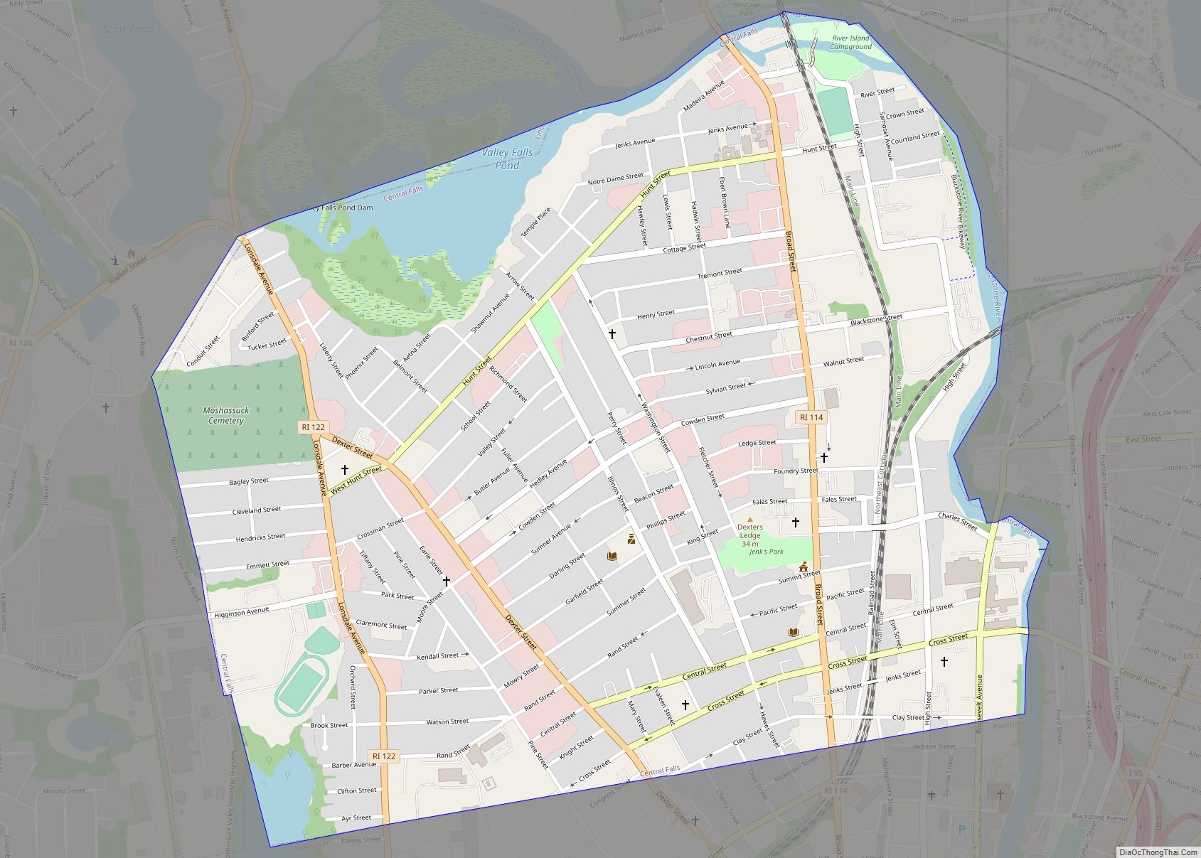
Pawtucket (/pəˈtʌkɪt/ (listen) pə-TUK-it) is a city in Providence County, Rhode Island. The population was 75,604 at the 2020 census, making the city the fourth-largest in the state. Pawtucket borders Providence and East Providence to the south, Central Falls and Lincoln to the north, and North Providence to the west. The city also borders the Massachusetts municipalities of Seekonk and Attleboro.
Pawtucket was an early and important center of textile manufacturing. It is home to Slater Mill, a historic textile mill recognized for helping to found the Industrial Revolution in the United States.
| Name: | Pawtucket city |
|---|---|
| LSAD Code: | 25 |
| LSAD Description: | city (suffix) |
| State: | Rhode Island |
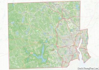
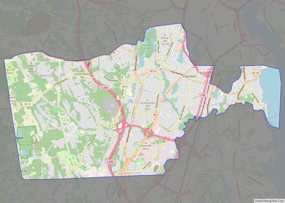
| County: | Providence County |
| Elevation: | 39 ft (12 m) |
| Total Area: | 8.96 sq mi (23.22 km²) |
| Land Area: | 8.67 sq mi (22.45 km²) |
| Water Area: | 0.30 sq mi (0.77 km²) |
| Total Population: | 75,604 |
| Population Density: | 8,723.20/sq mi (3,367.98/km²) |
| ZIP code: | 02860–02861 |
| Area code: | 401 |
| FIPS code: | 4454640 |
| GNISfeature ID: | 1218926 |
| Website: | www.pawtucketri.com |
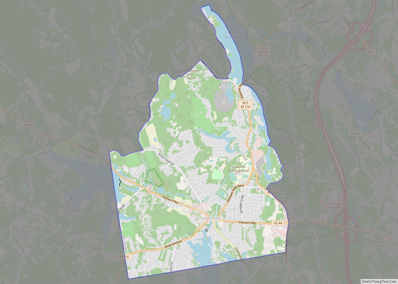
Online Interactive Map
Click on ![]() to view map in "full screen" mode.
to view map in "full screen" mode.
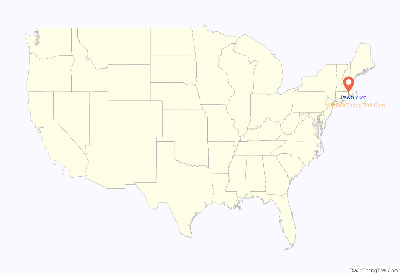
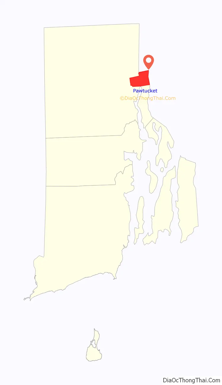
Pawtucket location map. Where is Pawtucket city?
History
The name “Pawtucket” comes from the Algonquian word for “river fall.”
The Pawtucket region was said to have been one of the most populous places in New England prior to the arrival of European settlers. American Indians would catch the salmon and smaller fish that gathered at the falls. The first settler here was Joseph Jenckes Jr. who came to the region from Lynn, Massachusetts. He purchased about 60 acres near Pawtucket Falls in 1671, then established a sawmill and forge. The entire town was destroyed during King Philip’s War.
Other settlers followed Jenks, and the area became home to manufacturers of muskets, linseed oil, potash, and ships by 1775. Also around this time, Oziel Wilkinson and his family set up an iron forge that made anchors, nails, screws, farm implements, and cannons.
Pawtucket was an early and important center of cotton textiles during the American Industrial Revolution. Samuel Slater built the Slater Mill in 1793 on the Blackstone River falls in downtown Pawtucket, which was the first fully mechanized cotton-spinning mill in the United States. Slater Mill is known for developing a commercially successful production process not reliant on earlier horse-drawn processes developed in the United States. Slater constructed and operated machines for producing yarn. Other manufacturers continued, transforming Pawtucket into a center for textiles, iron working, and other products.
By the 1920s, Pawtucket was a prosperous mill town. The city had a half-dozen movie theaters, two dozen hotels, and an impressive collection of fine commercial and residential architecture. Perhaps the most impressive public building in Pawtucket was the Leroy Theatre, an ornate movie palace that was called “Pawtucket’s Million Dollar Theater”. Many wealthy mill owners such as Darius Goff built their mansions in the area.
The textile business in New England declined during the Great Depression, with many manufacturers closing or moving their facilities to the South where operations and labor were cheaper. Later in the 20th century, Pawtucket began to lose some of its architectural heritage to the wrecking ball, including the Leroy Theatre.
Pawtucket retained much of its industrial base, however. Today, goods produced in the city include lace, non-woven and elastic woven materials, jewelry, silverware, metals, and textiles. Hasbro is headquartered in Pawtucket, one of the world’s largest manufacturers of toys and games.
Incorporation
Originally, the land west of the Blackstone River was part of nearby North Providence, and east of the Blackstone River was originally settled as part of Rehoboth, Massachusetts. The first Pawtucket to be incorporated was when Rehoboth gave up their land in 1828, and Pawtucket became a new town in Massachusetts. In 1862, the eastern portion was absorbed into Providence County, Rhode Island. On March 1, 1862, the area of Pawtucket and East Providence was shifted into Rhode Island, and the new border remains to this day—following a 225-year border dispute among the Rhode Island Colony, Plymouth Colony, the State of Rhode Island, and the Commonwealth of Massachusetts. In 1874, the land west of the river was taken from North Providence and added to the town of Pawtucket, but it acted as two different towns. Finally in 1886, West and East Pawtucket were merged and the city was incorporated.
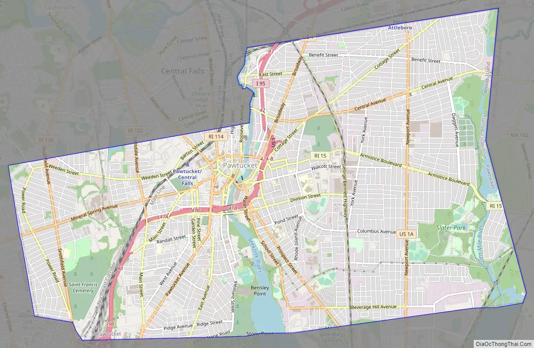
Pawtucket Road Map
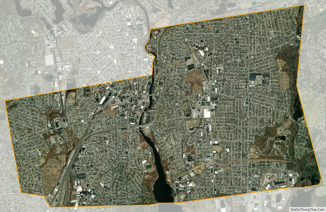
Pawtucket city Satellite Map
Geography
According to the United States Census Bureau, the city has a total area of 9.0 square miles (23 km), of which, 8.7 square miles (23 km) of it is land and 0.3 square miles (0.78 km) of it (2.89%) is water. Pawtucket lies within three drainage basins. These include the Blackstone River (including the Seekonk River), the Moshassuck River and the Ten Mile River.
See also
Map of Rhode Island State and its subdivision: Map of other states:- Alabama
- Alaska
- Arizona
- Arkansas
- California
- Colorado
- Connecticut
- Delaware
- District of Columbia
- Florida
- Georgia
- Hawaii
- Idaho
- Illinois
- Indiana
- Iowa
- Kansas
- Kentucky
- Louisiana
- Maine
- Maryland
- Massachusetts
- Michigan
- Minnesota
- Mississippi
- Missouri
- Montana
- Nebraska
- Nevada
- New Hampshire
- New Jersey
- New Mexico
- New York
- North Carolina
- North Dakota
- Ohio
- Oklahoma
- Oregon
- Pennsylvania
- Rhode Island
- South Carolina
- South Dakota
- Tennessee
- Texas
- Utah
- Vermont
- Virginia
- Washington
- West Virginia
- Wisconsin
- Wyoming