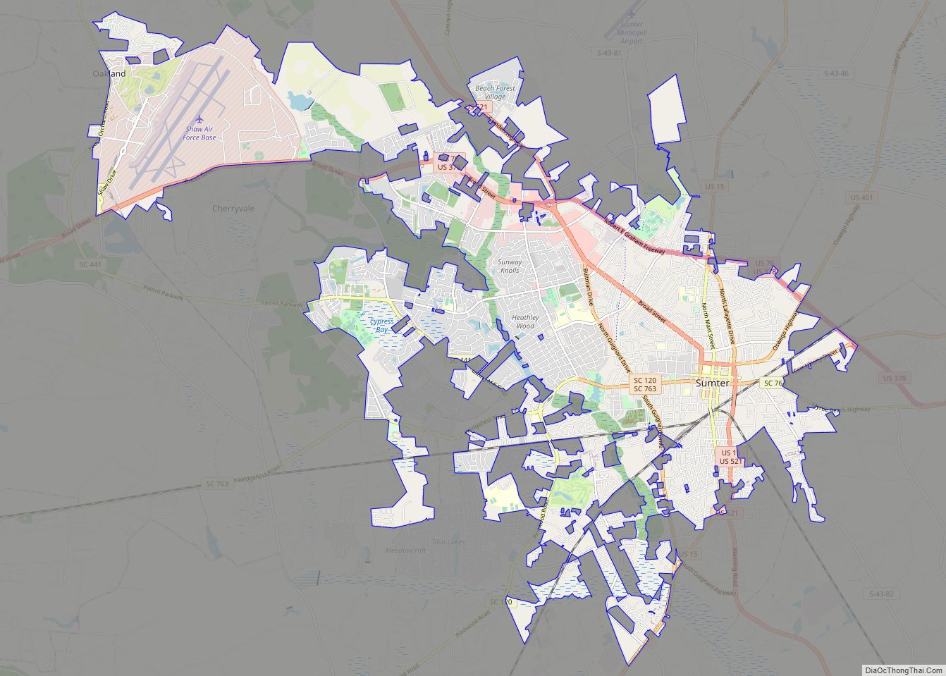
Sumter (/ˈsʌmtər/ SUM-tər) is a city in and the county seat of Sumter County, South Carolina, United States. Known as the Sumter Metropolitan Statistical Area, the namesake county adjoins Clarendon and Lee to form the core of Sumter-Lee-Clarendon Tri-county (or East Midlands) area of South Carolina that includes three counties straddling the border of the ... Read more
South Carolina Cities and Places
Summit is a town in Lexington County, South Carolina, United States. The population was 402 at the 2010 census. It is part of the Columbia, South Carolina Metropolitan Statistical Area. Summit town overview: Name: Summit town LSAD Code: 43 LSAD Description: town (suffix) State: South Carolina County: Lexington County Elevation: 614 ft (187 m) Total Area: 1.49 sq mi ... Read more
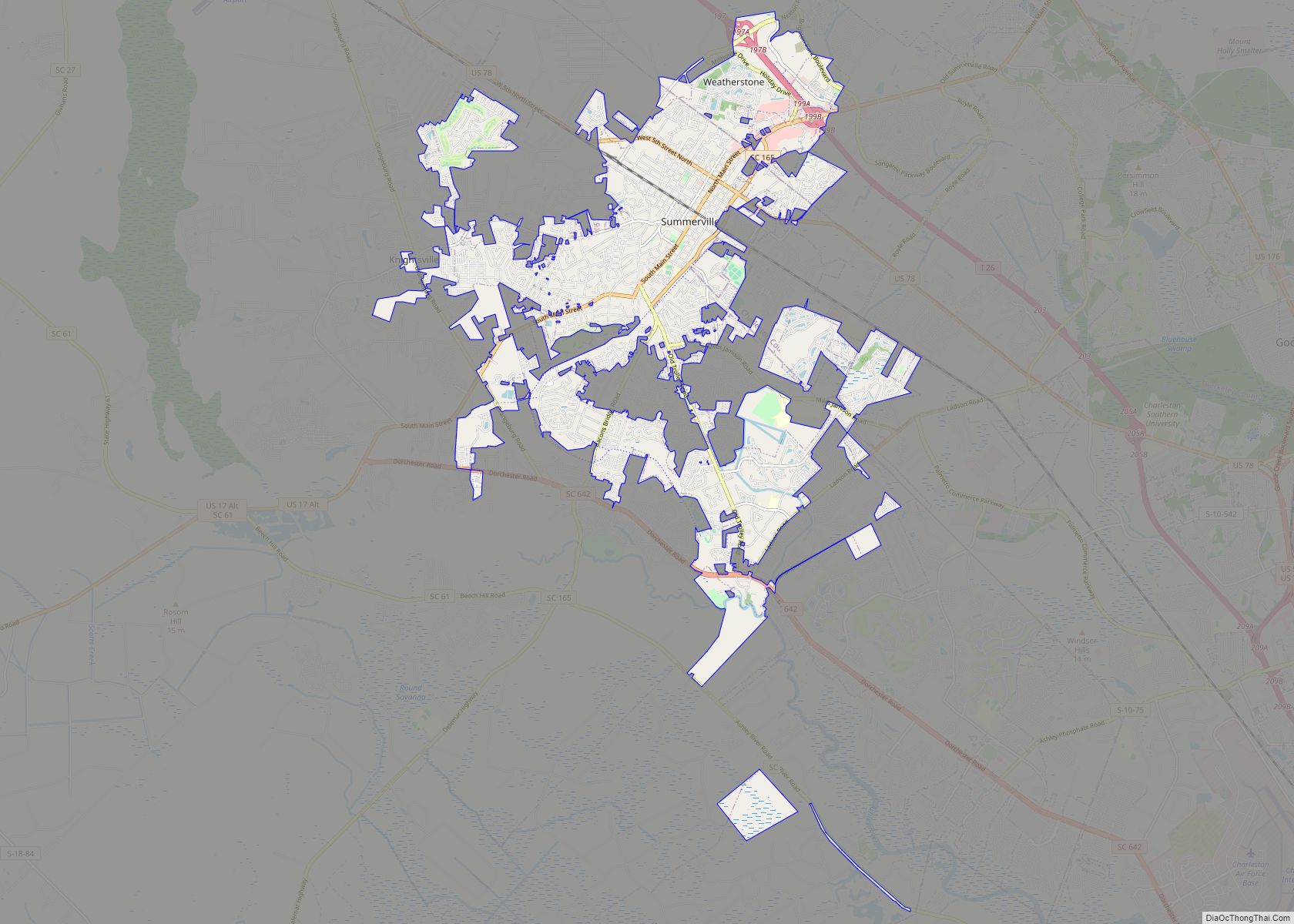
Summerville is a town in the U.S. state of South Carolina situated mostly in Dorchester County, with small portions in Berkeley and Charleston counties. It is part of the Charleston-North Charleston-Summerville Metropolitan Statistical Area. Summerville’s population at the 2020 census was 50,915. Summerville town overview: Name: Summerville town LSAD Code: 43 LSAD Description: town (suffix) ... Read more
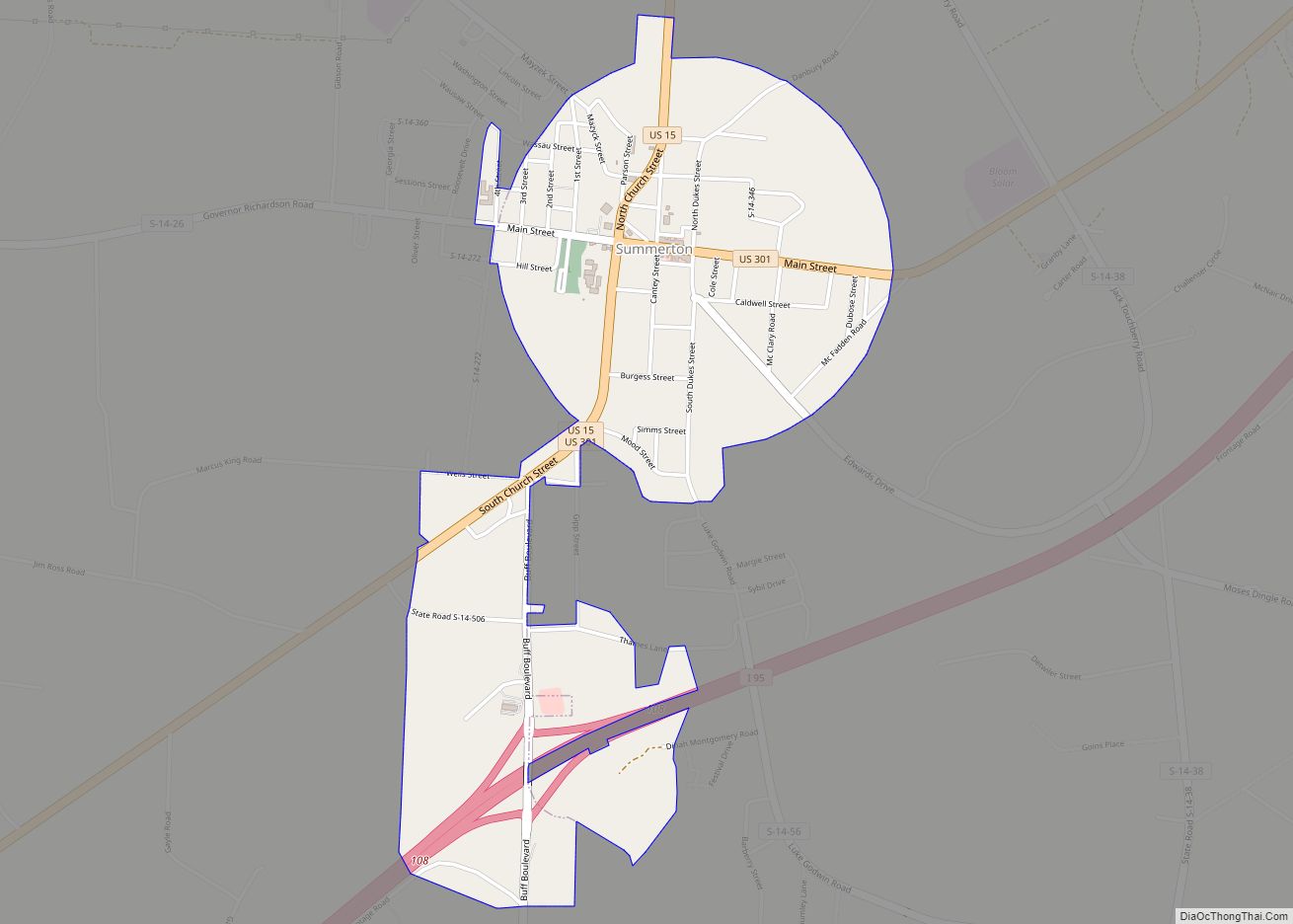
Summerton is a town in Clarendon County, South Carolina, United States. Per the 2020 census, the population was 814. Summerton town overview: Name: Summerton town LSAD Code: 43 LSAD Description: town (suffix) State: South Carolina County: Clarendon County Elevation: 138 ft (42 m) Total Area: 1.35 sq mi (3.51 km²) Land Area: 1.35 sq mi (3.51 km²) Water Area: 0.00 sq mi (0.00 km²) Total Population: ... Read more
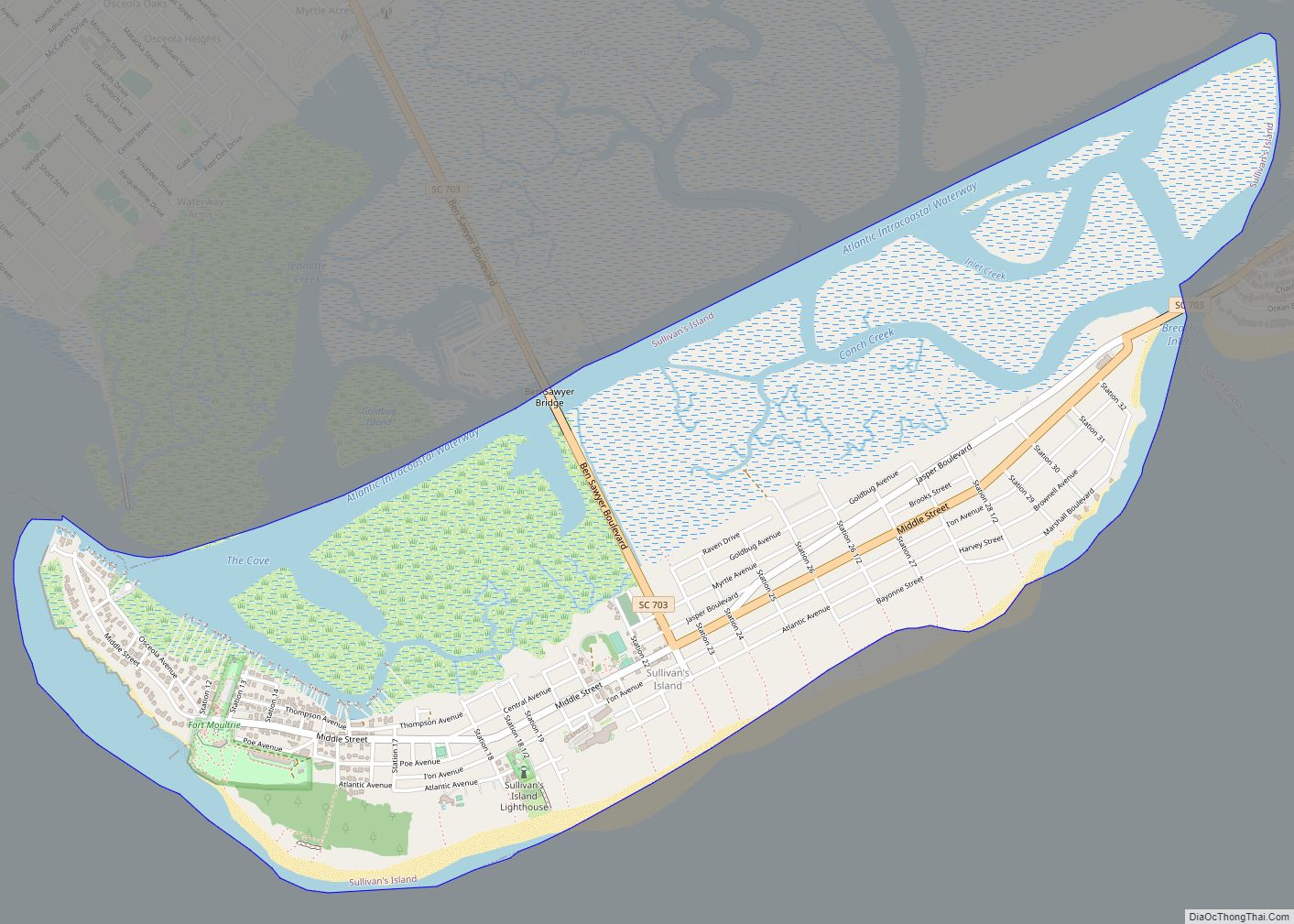
Sullivan’s Island, historically known as O’Sullivan’s Island, is a town and island in Charleston County, South Carolina, United States, at the entrance to Charleston Harbor, with a population of 1,791 at the 2010 census, and 1,891 people in 2020. The town is part of the Charleston metropolitan area, and is considered a very affluent suburb ... Read more
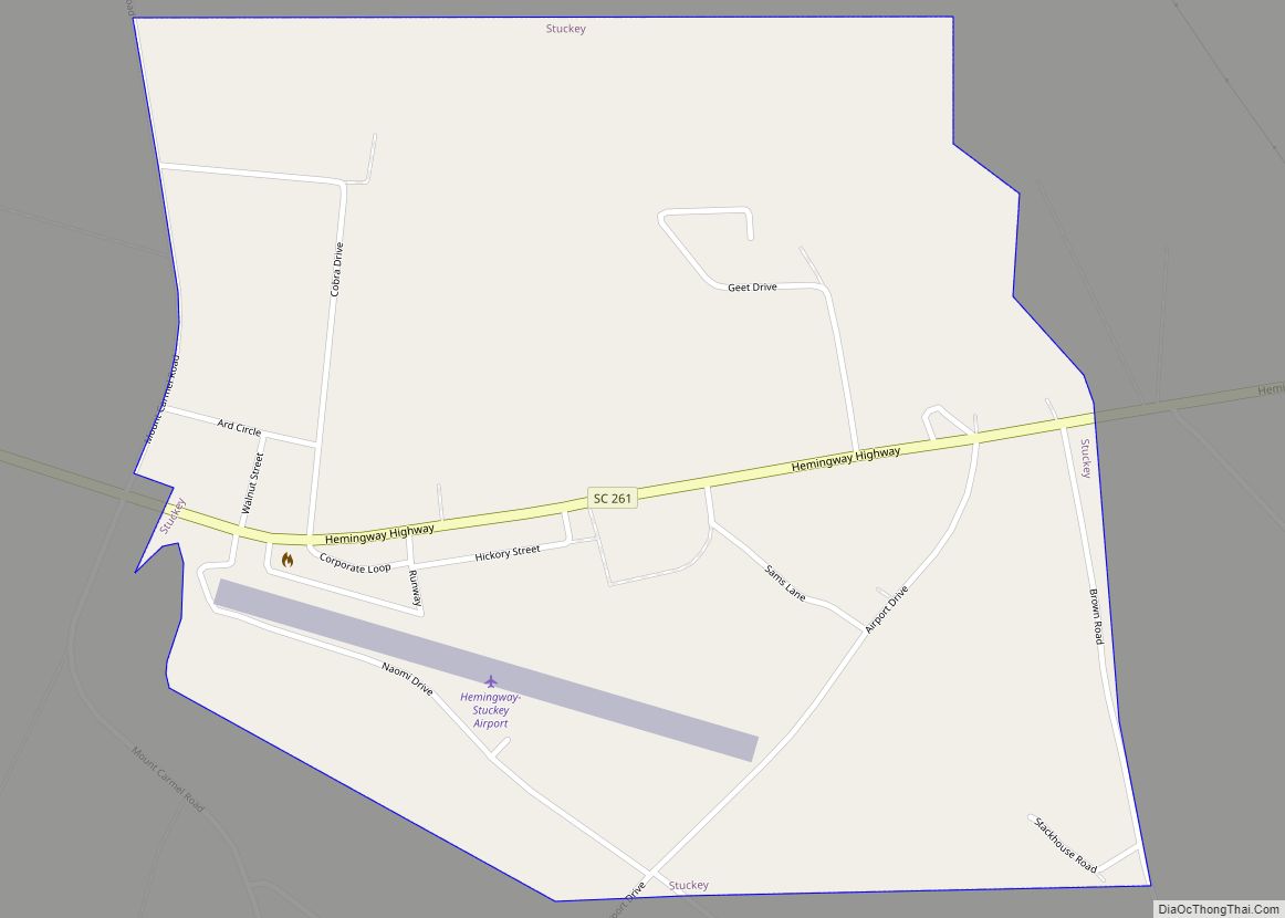
Stuckey is a town in Williamsburg County, South Carolina, United States. The population was 245 at the 2010 census. Stuckey town overview: Name: Stuckey town LSAD Code: 43 LSAD Description: town (suffix) State: South Carolina County: Williamsburg County Elevation: 49 ft (15 m) Total Area: 0.94 sq mi (2.42 km²) Land Area: 0.94 sq mi (2.42 km²) Water Area: 0.00 sq mi (0.00 km²) Total Population: ... Read more
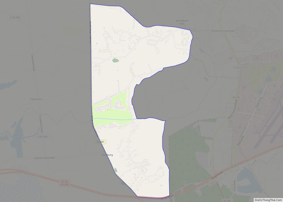
Stateburg is a census-designated place (CDP) in the High Hills of Santee in Sumter County, South Carolina, United States. The population was 1,380 at the 2010 census. It is included in the Sumter, South Carolina Metropolitan Statistical Area. Stateburg is located within the larger Stateburg Historic District. Stateburg CDP overview: Name: Stateburg CDP LSAD Code: ... Read more
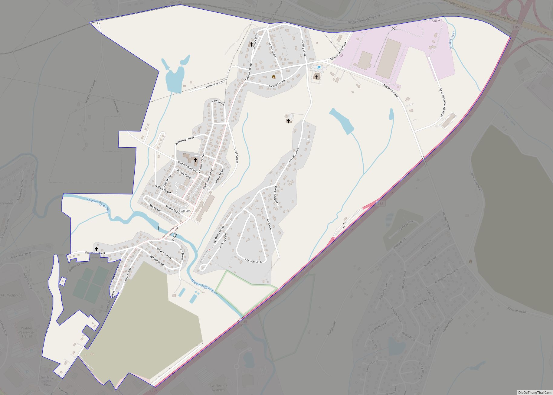
Startex is a census-designated place (CDP) in Spartanburg County, South Carolina, United States. The population was 859 at the 2010 census. The area was originally known as Tucapau, named after the mill that was built there in 1896. In 1936, Walter Montgomery Sr. bought the mill and changed its name to Startex—the brand name of ... Read more
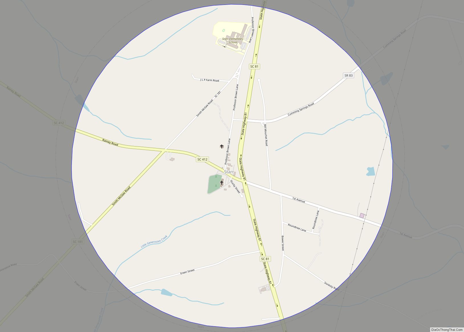
Starr is a town in Anderson County, South Carolina, United States. The population was 173 at the 2010 census. Starr town overview: Name: Starr town LSAD Code: 43 LSAD Description: town (suffix) State: South Carolina County: Anderson County Elevation: 771 ft (235 m) Total Area: 1.50 sq mi (3.89 km²) Land Area: 1.50 sq mi (3.88 km²) Water Area: 0.00 sq mi (0.01 km²) Total Population: ... Read more
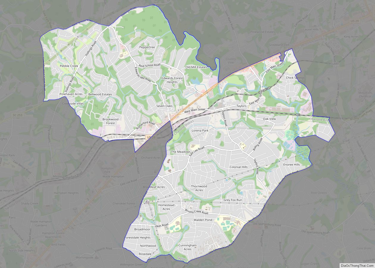
Taylors is a census-designated place (CDP) in Greenville County, South Carolina, United States. The population was 21,617 at the 2010 census. Taylors is the Greenville/Spartanburg area’s largest suburb although it is not incorporated as a city. It is part of the Greenville–Mauldin–Easley Metropolitan Statistical Area. The area serves as the result of urban sprawl in ... Read more
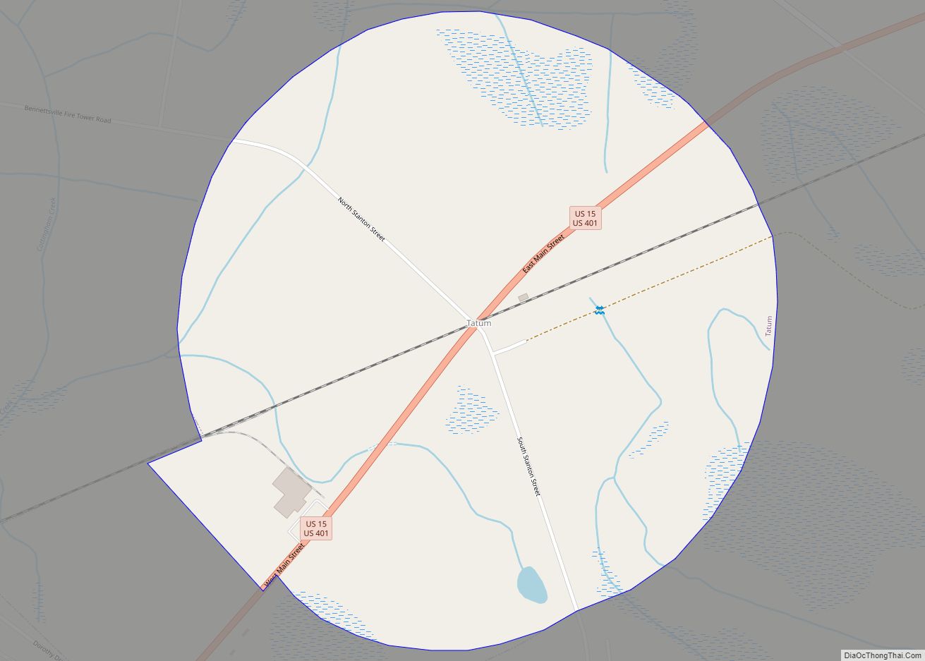
Tatum is a town in Marlboro County, South Carolina, United States. The population was 75 at the 2010 census. Tatum town overview: Name: Tatum town LSAD Code: 43 LSAD Description: town (suffix) State: South Carolina County: Marlboro County Elevation: 194 ft (59 m) Total Area: 0.91 sq mi (2.35 km²) Land Area: 0.91 sq mi (2.35 km²) Water Area: 0.00 sq mi (0.00 km²) Total Population: ... Read more
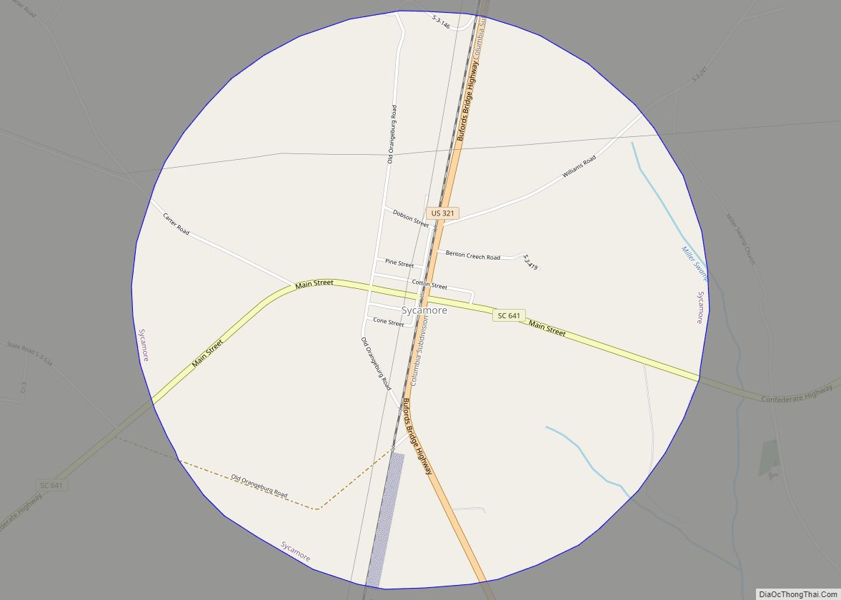
Sycamore is a town in Allendale County, South Carolina, United States. The population was 180 as of the 2010 census. On April 5, 2022, the town was hit by an EF3 tornado, although it had weakened to EF1 strength by the time it moved through town and only minor damage occurred. One person was injured ... Read more
